|
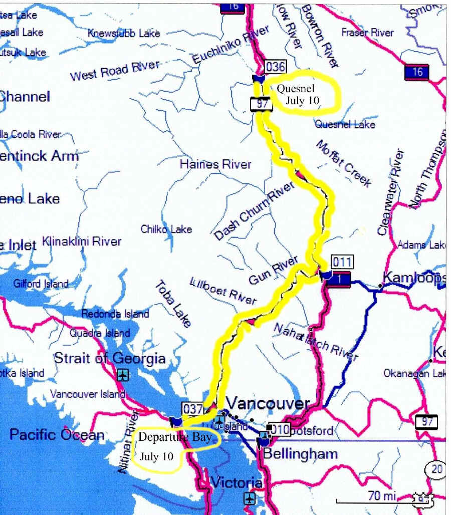
Day 24 Monday, July 10 Monday July 24, I drove 425 miles from Quesnel N52 58.856 W122 29.802 to Departure Bay, Vancouver Island N49 10.391 W123 56.607
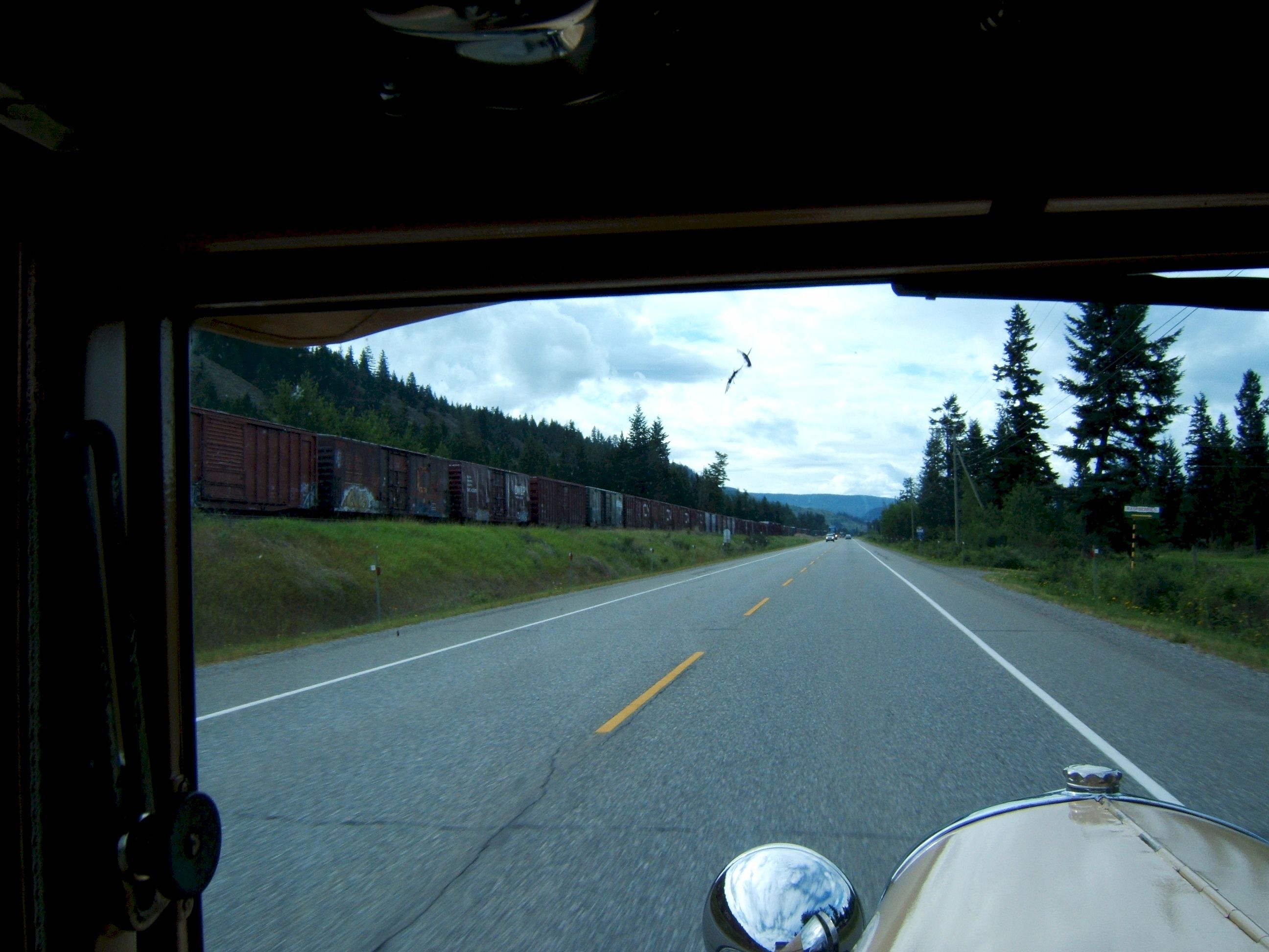
It was raining lightly when I left Quesnel. A few miles down the road the sky opened up with rain and came down so hard I could not see the lines on the road. The engine compartment got so much water in it the coil shorted out and the engine died. There was a pull over on the other side of the road, I coasted across the north bound lane, stopped and waited until the cloud burst ended. Then I dried off the electrical connections and headed south again. By the time I turned west on Highway 99 just before Cache Creek to go on the road to Whistler, the weather was sunny, dry and warm. The mountains looked like southern California. I came upon this train, it sure looked long and going slow.
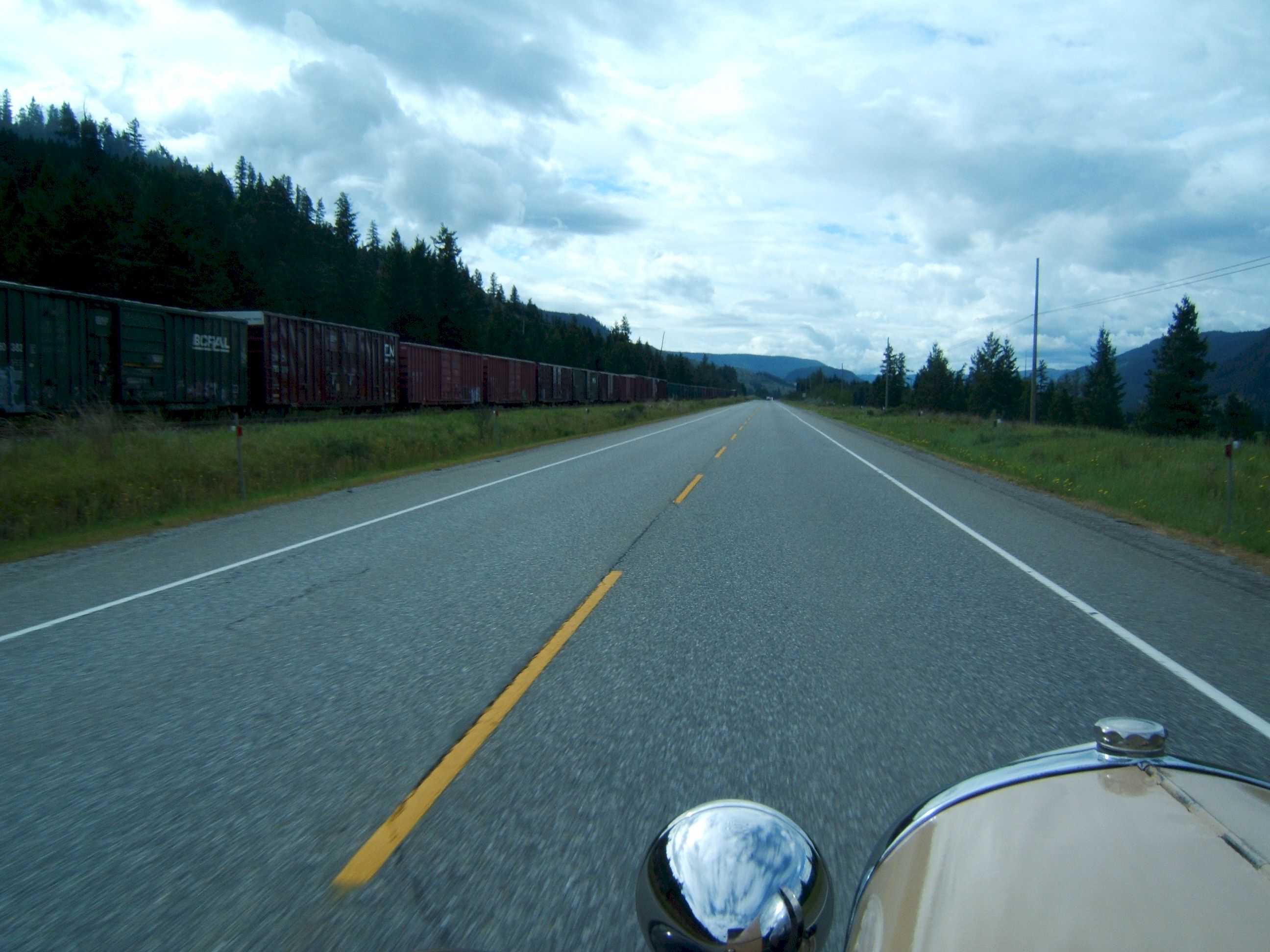
Then I discovered it was not moving, but instead looked like abandoned cars.
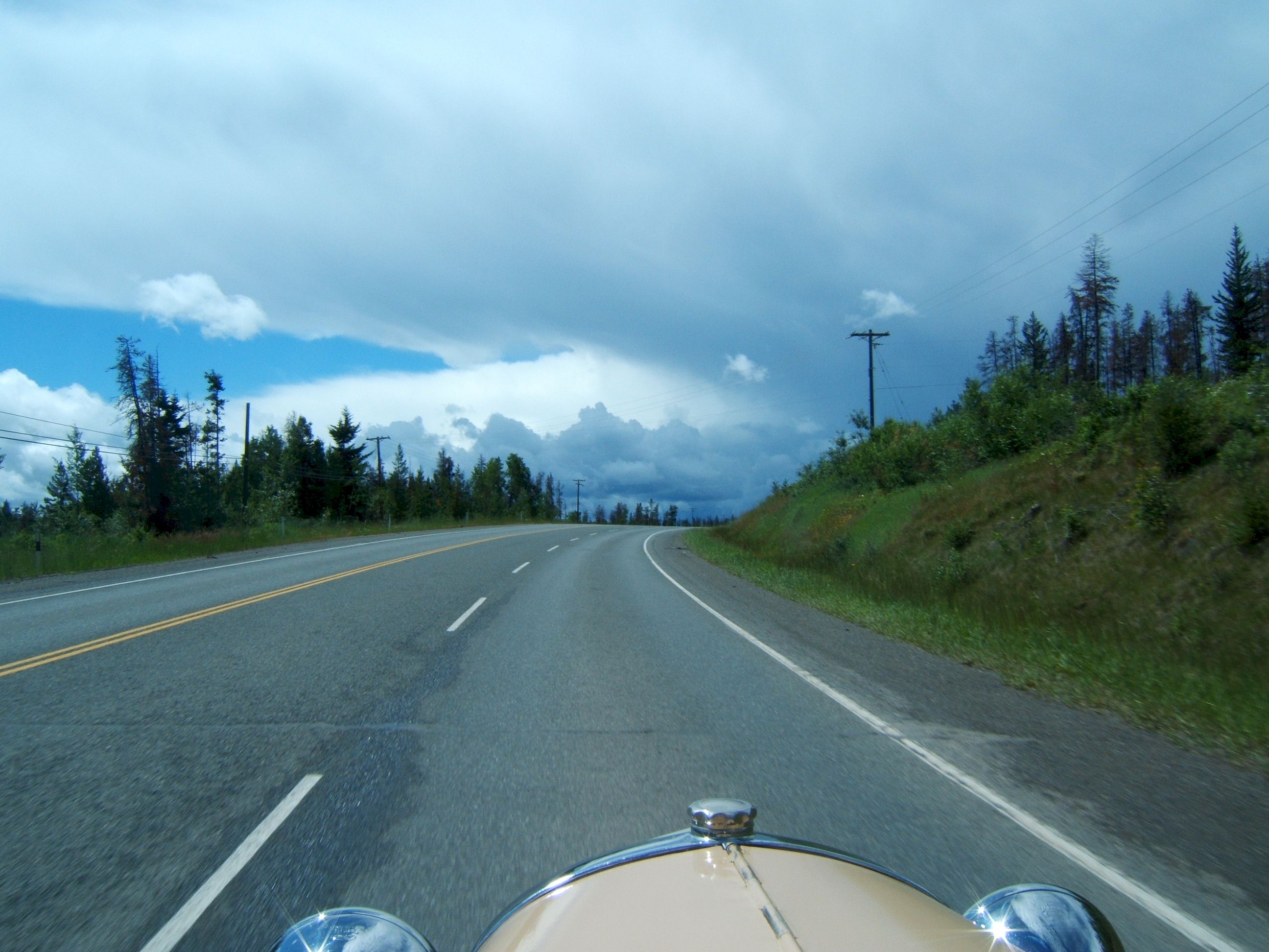
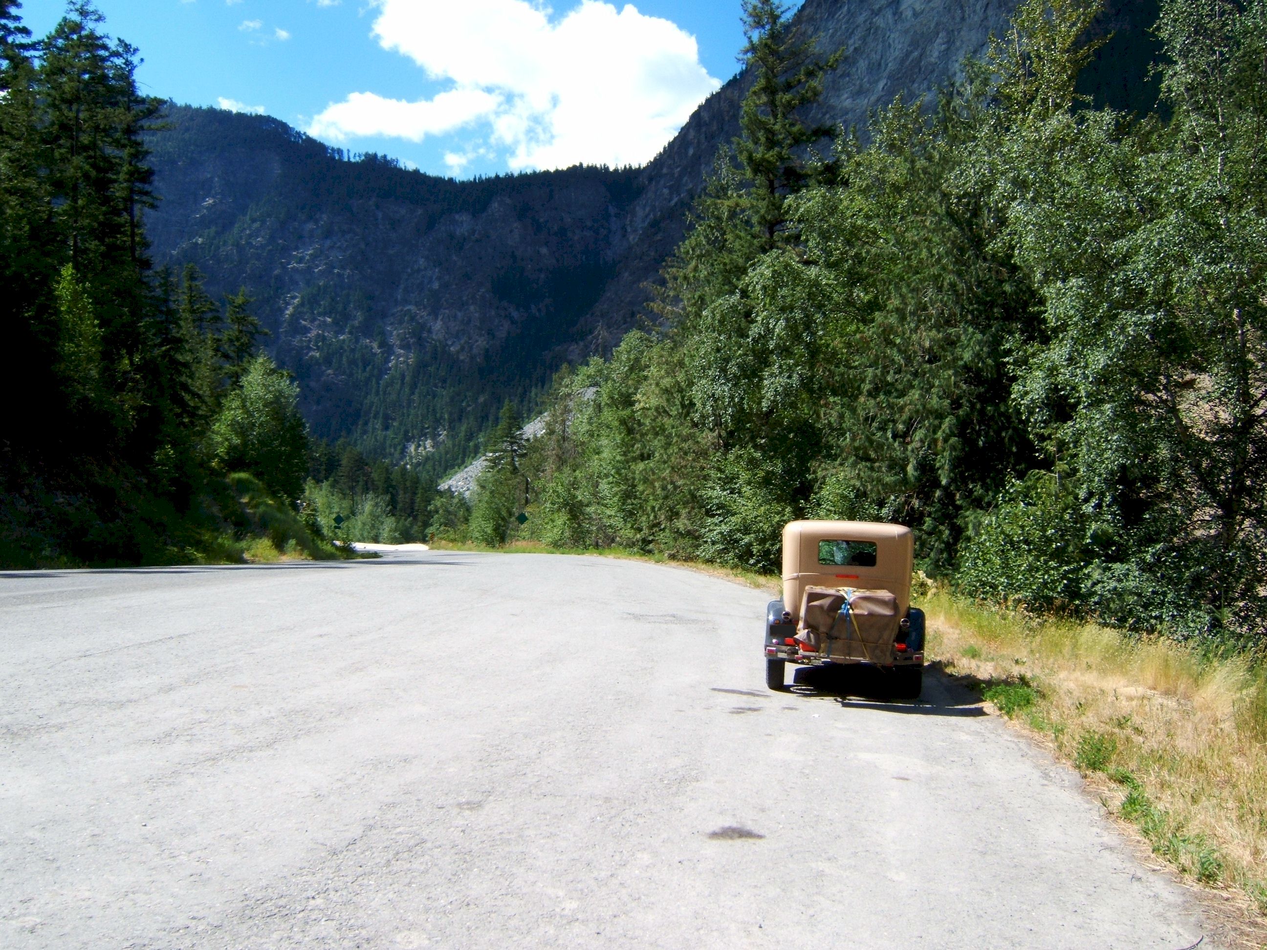
Every hour or so I felt the need to take a picture, this is what I saw this time.
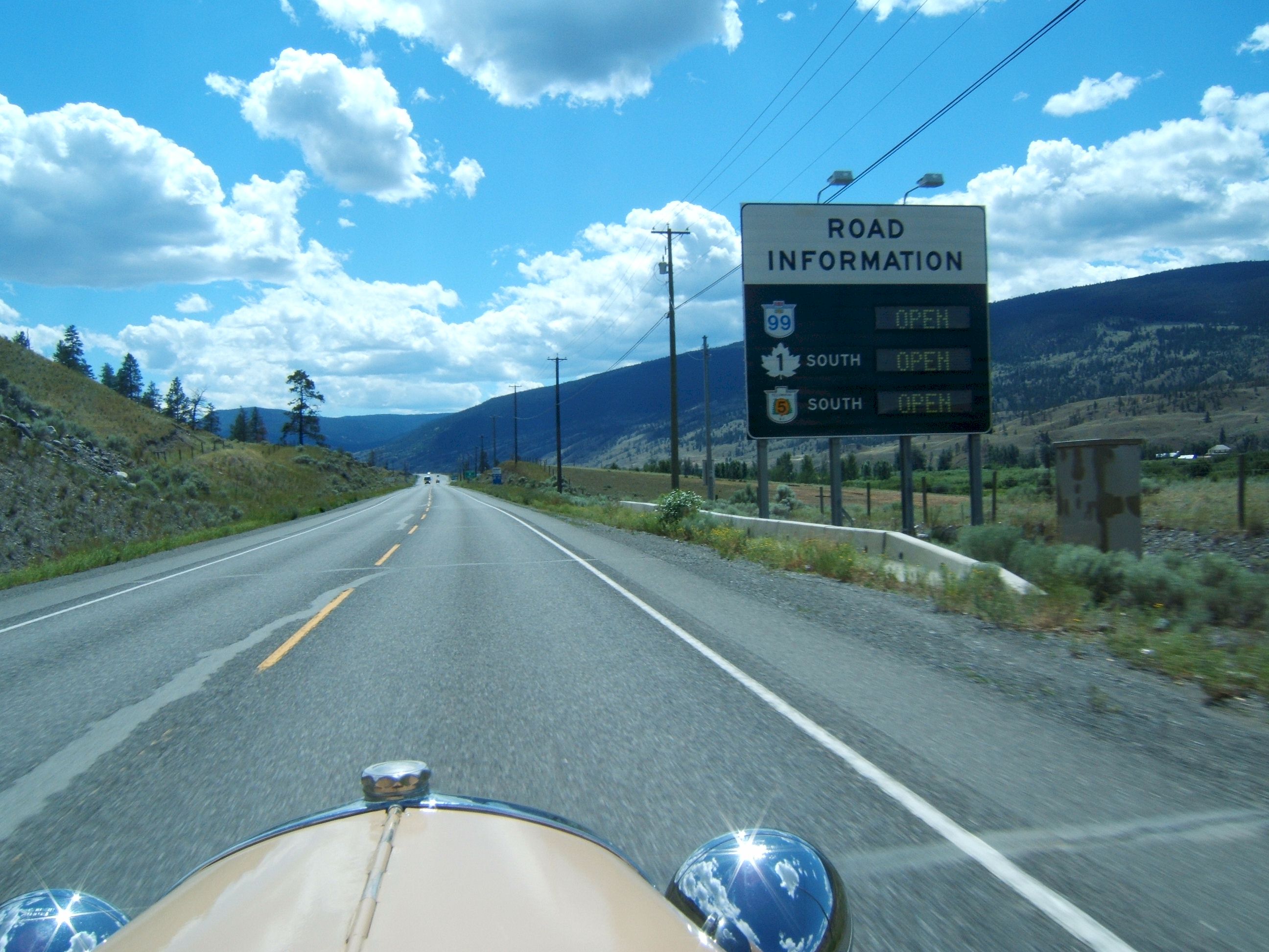
The intersection of 97 and 99. This is where I will turn west and head down to Whistler.
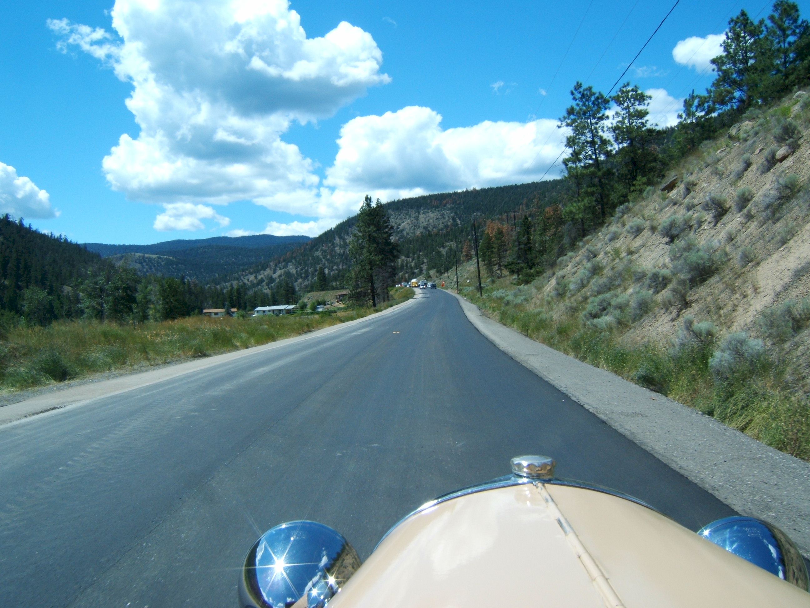
The road is being repaved, there are no center lines.
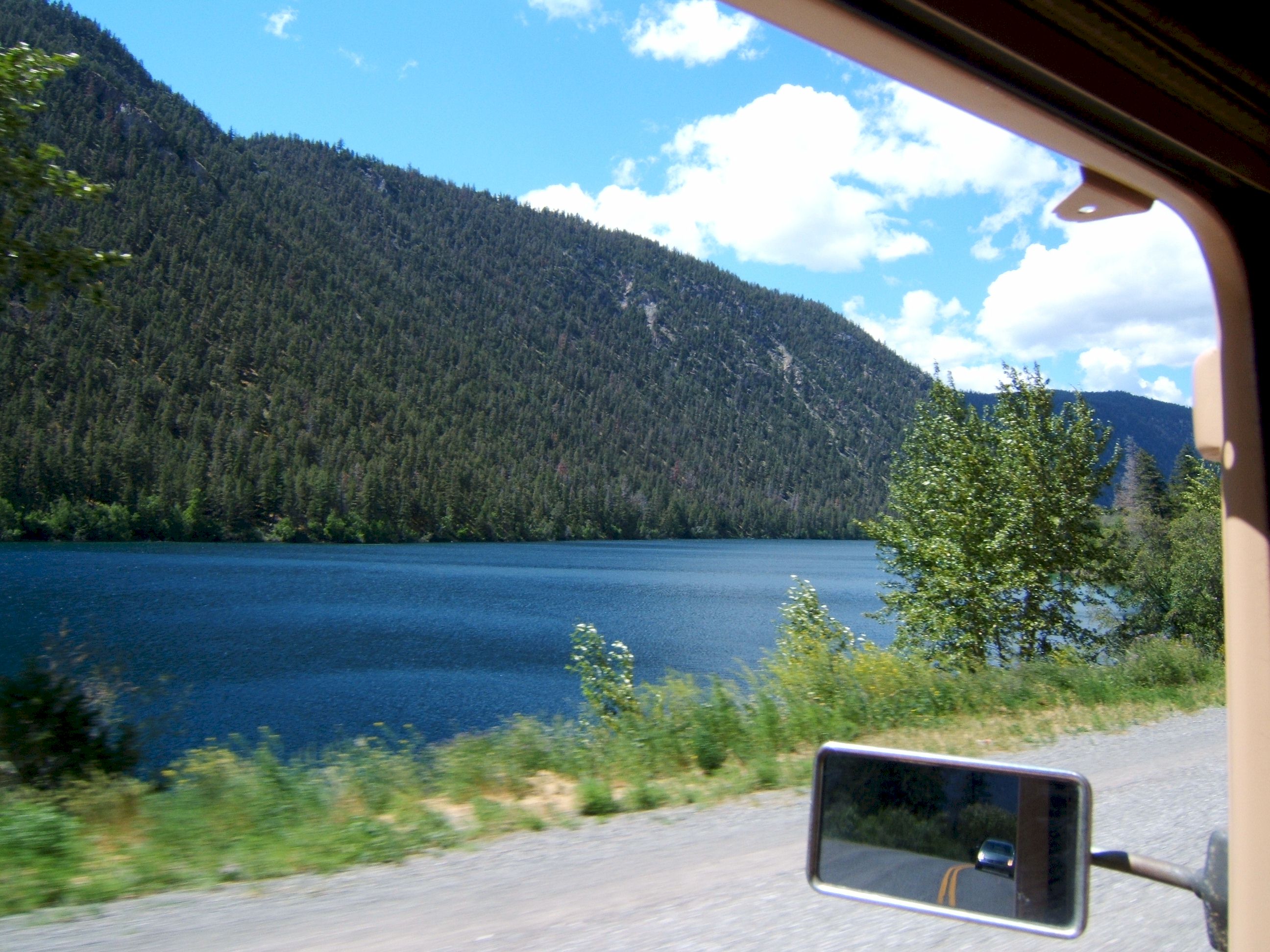
A lake.
Same lake.
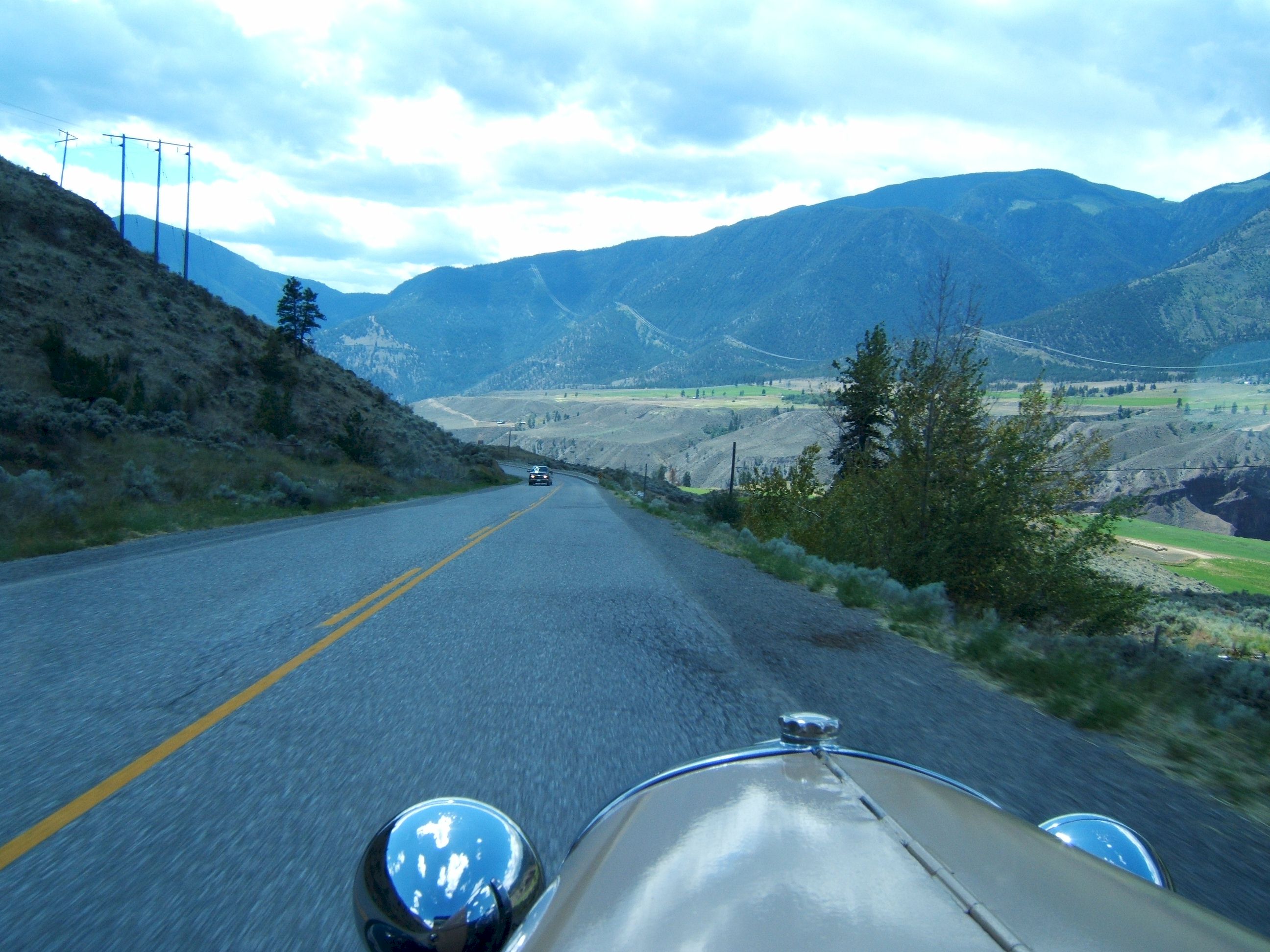
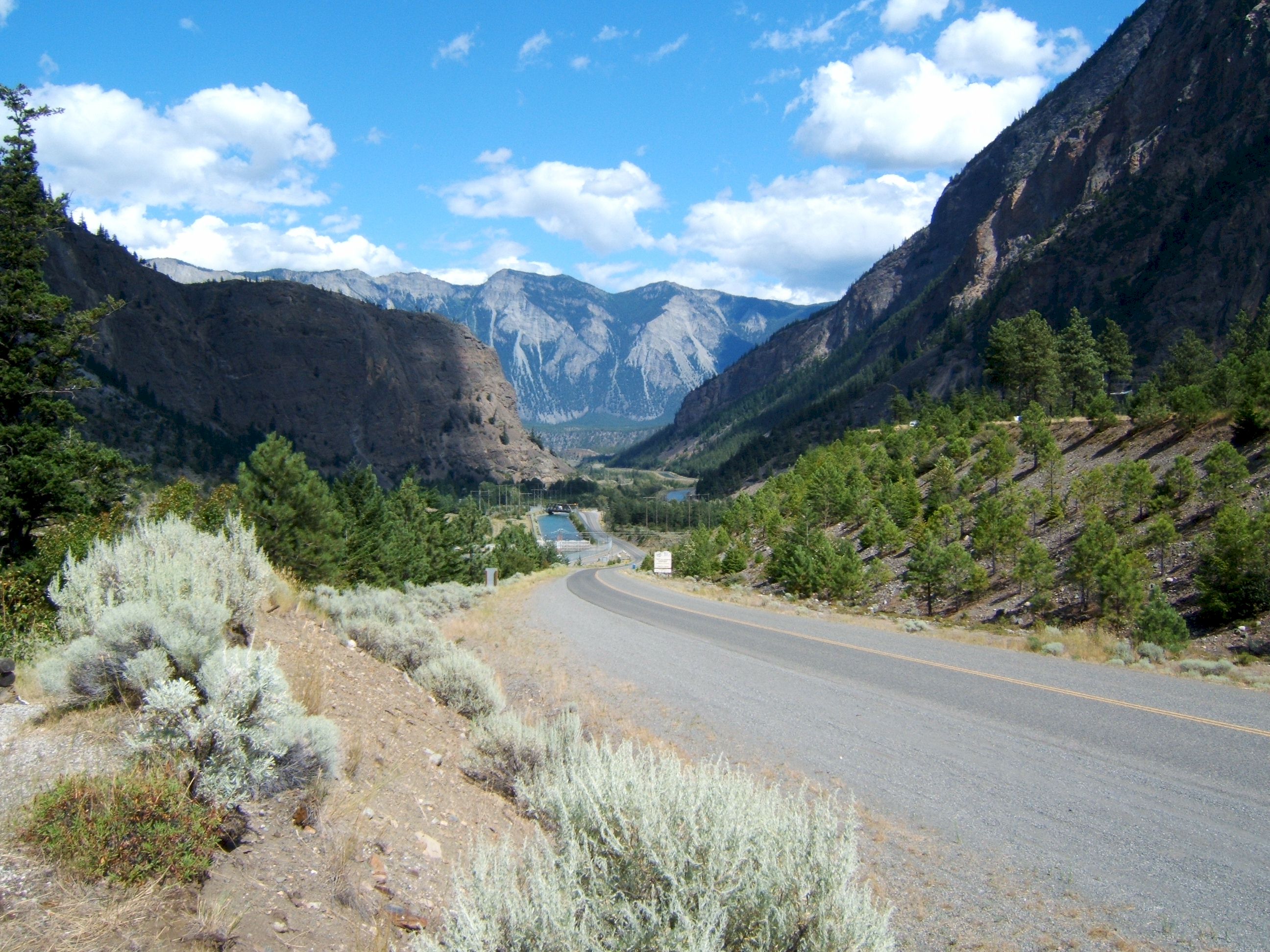
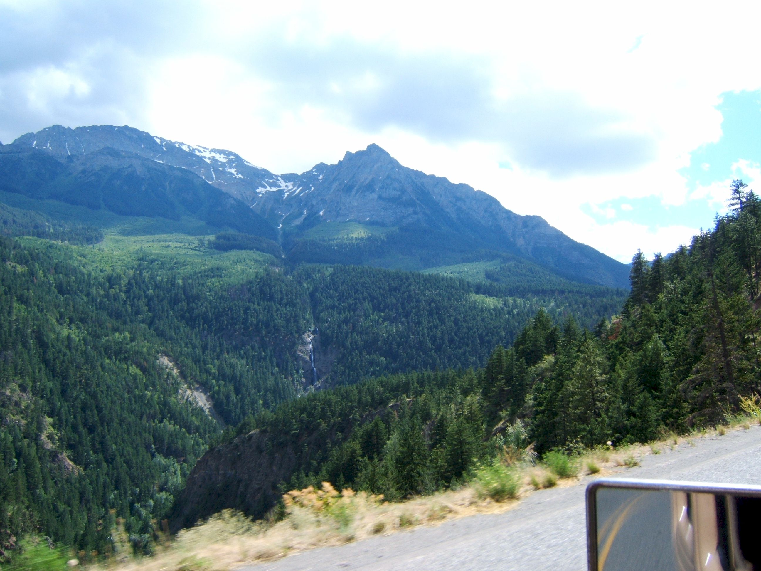
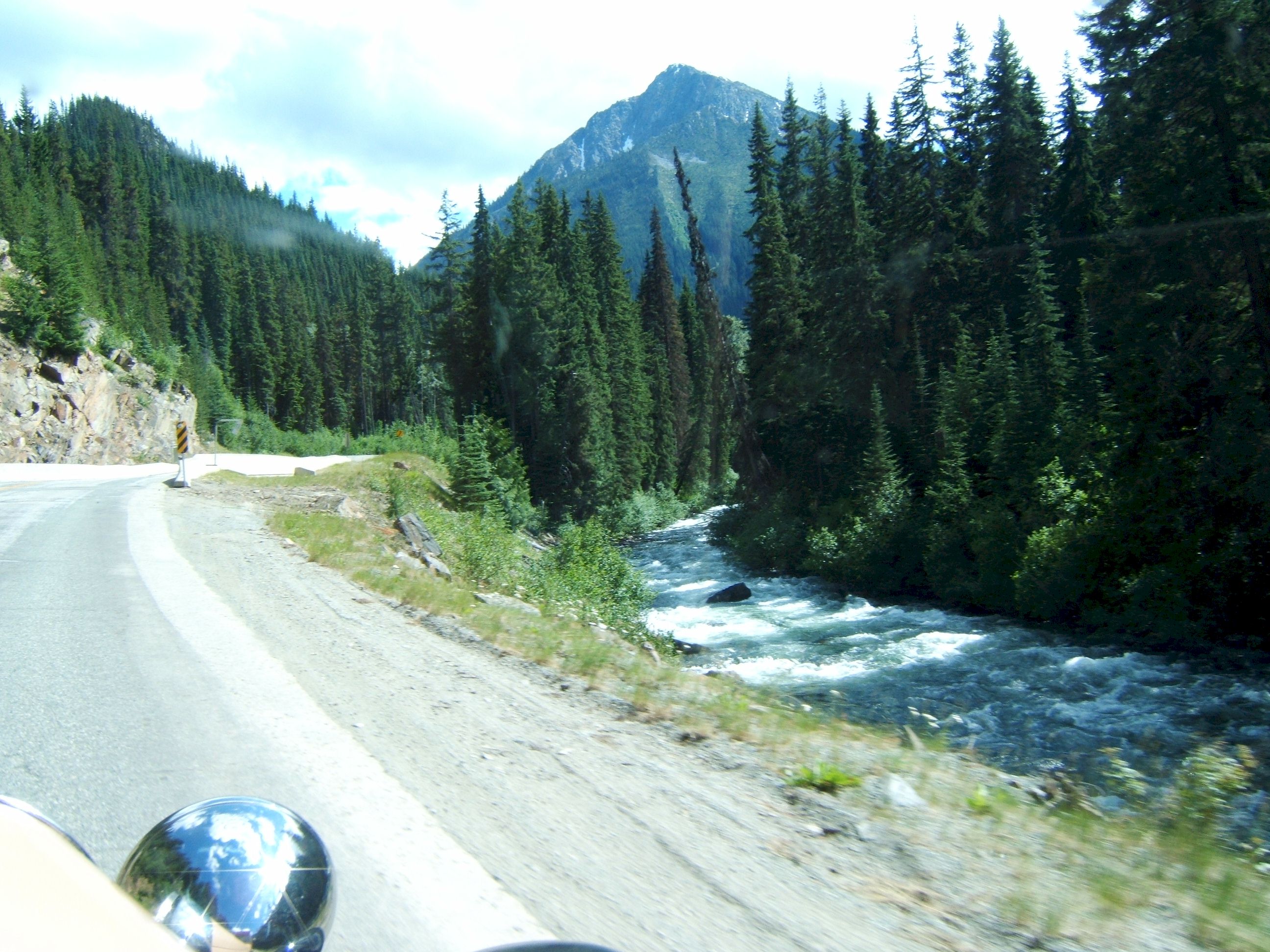
Here the terrain changes. The road is carved out of the side of the mountain, the train tracks are below. The view was breathtaking.
There is sage brush along the road, just this morning I was in a torrential down pour, and the mountains were full of trees. Now that has all changed. The temperature is also much higher.
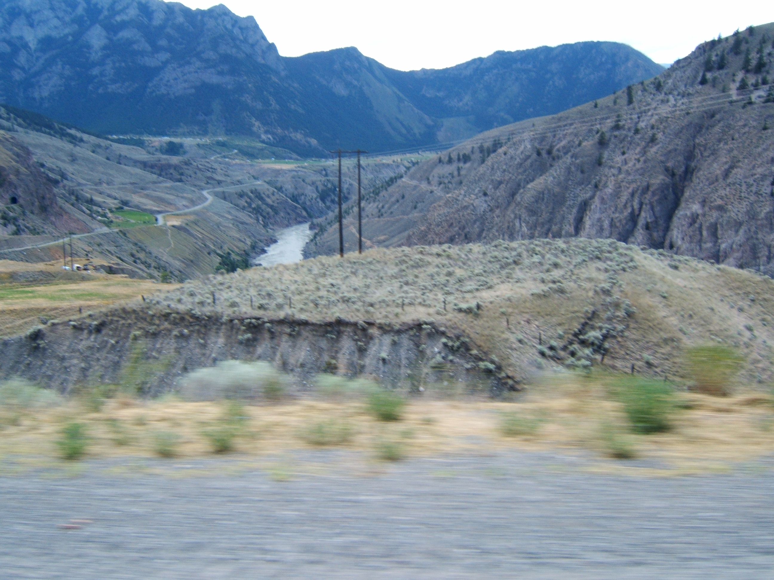
A roaring river is in the bottom of the canyon.
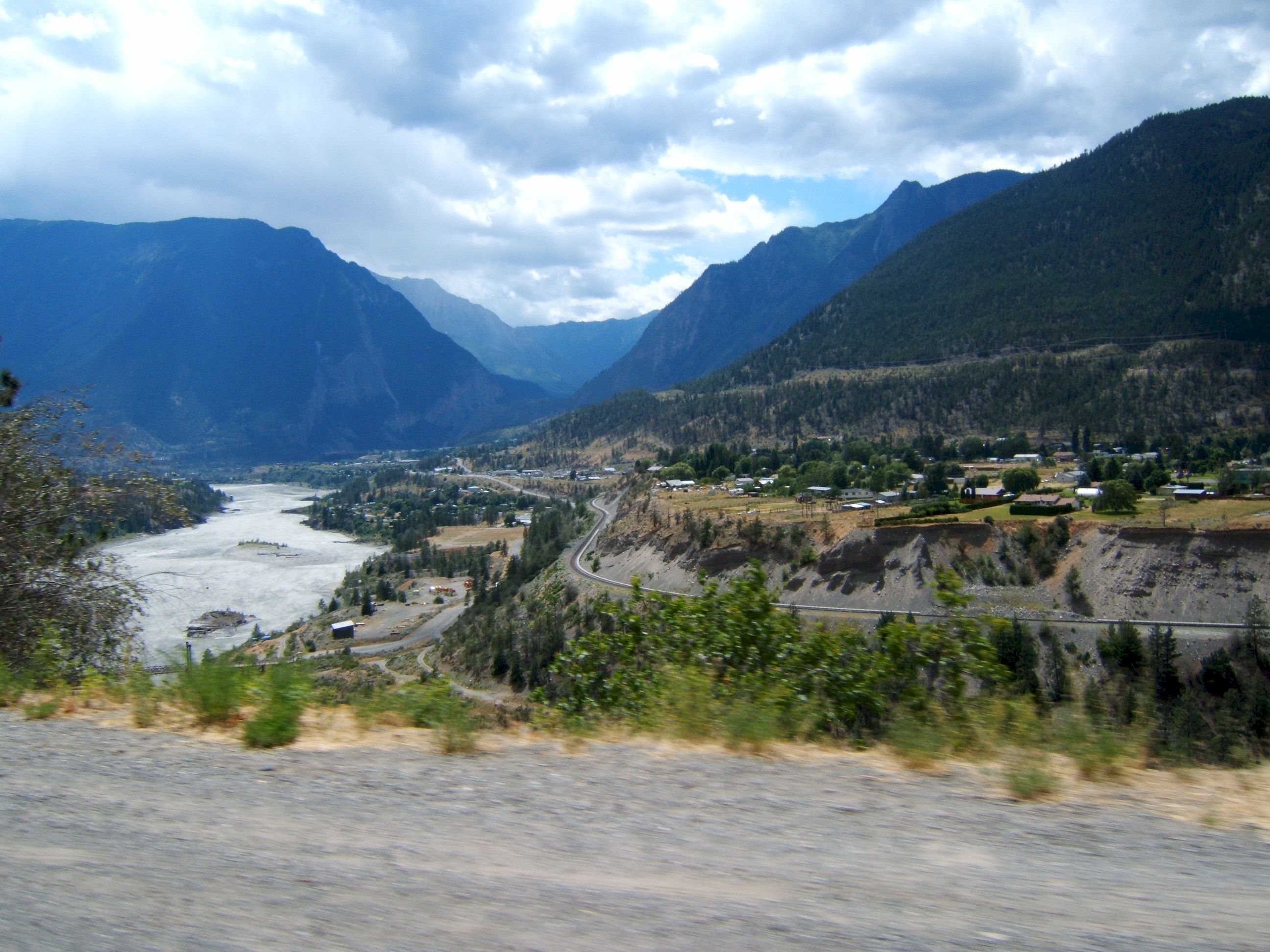
There is a small village on the other side of the river.
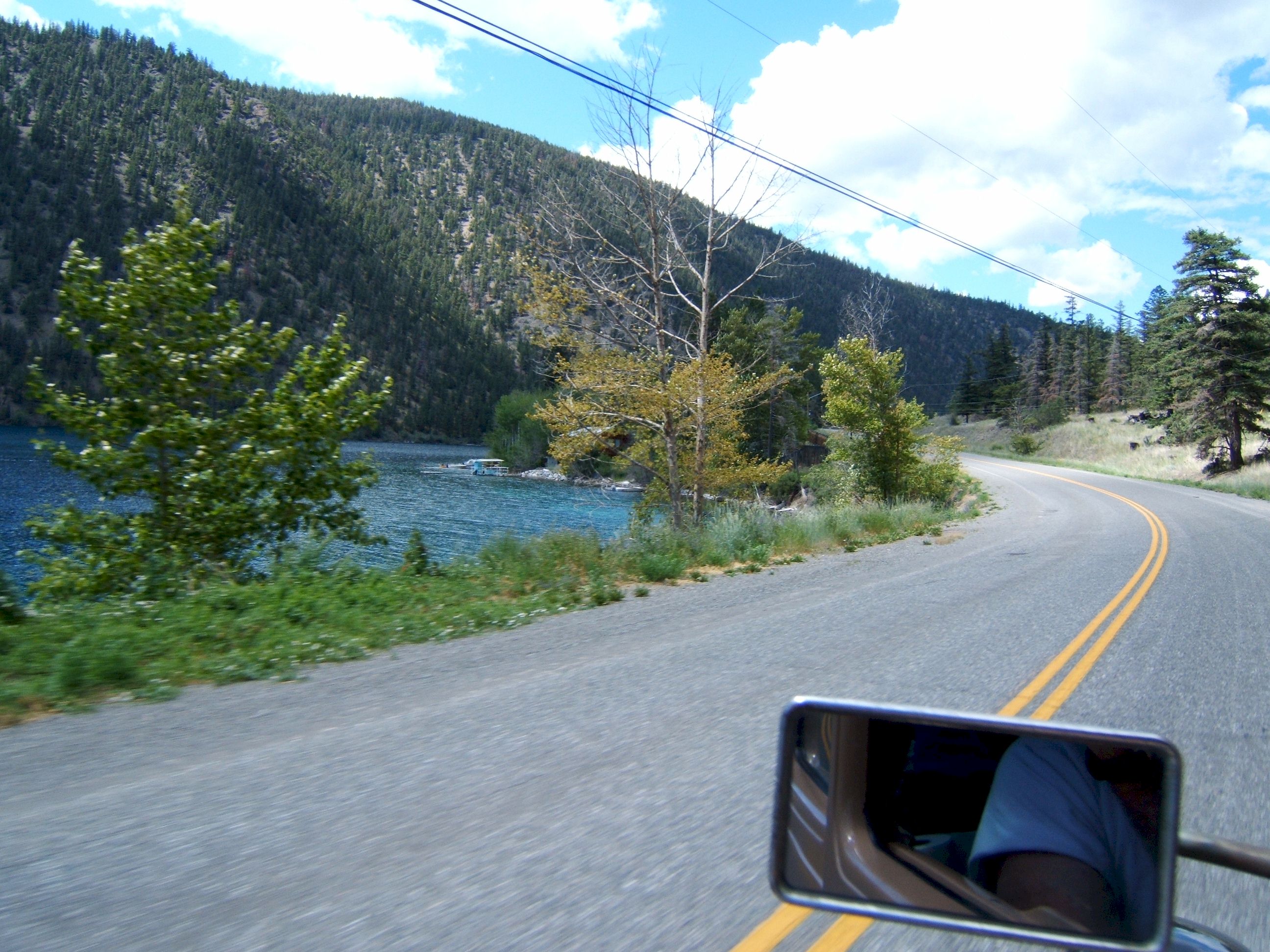
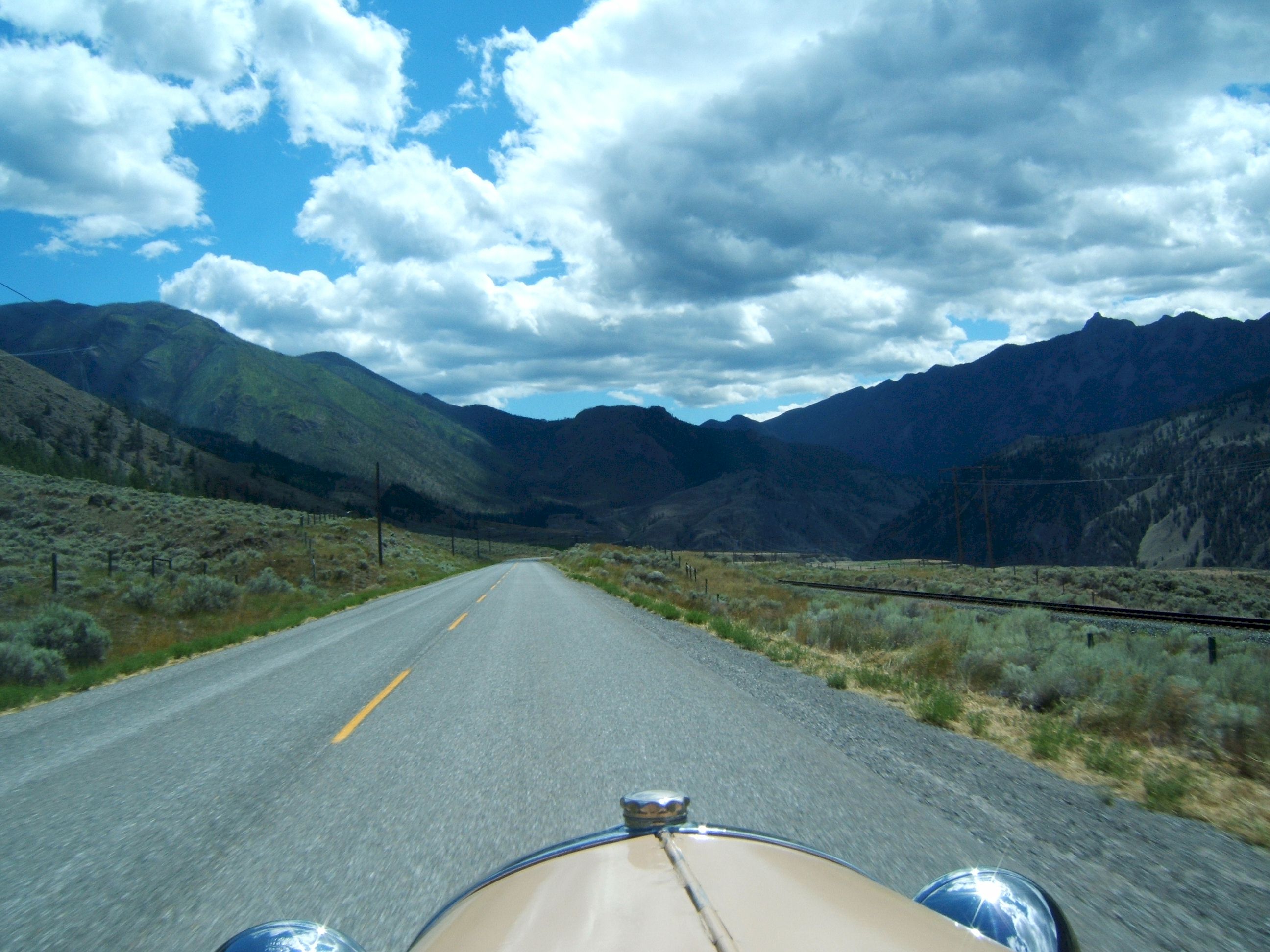
More of the same, only different.
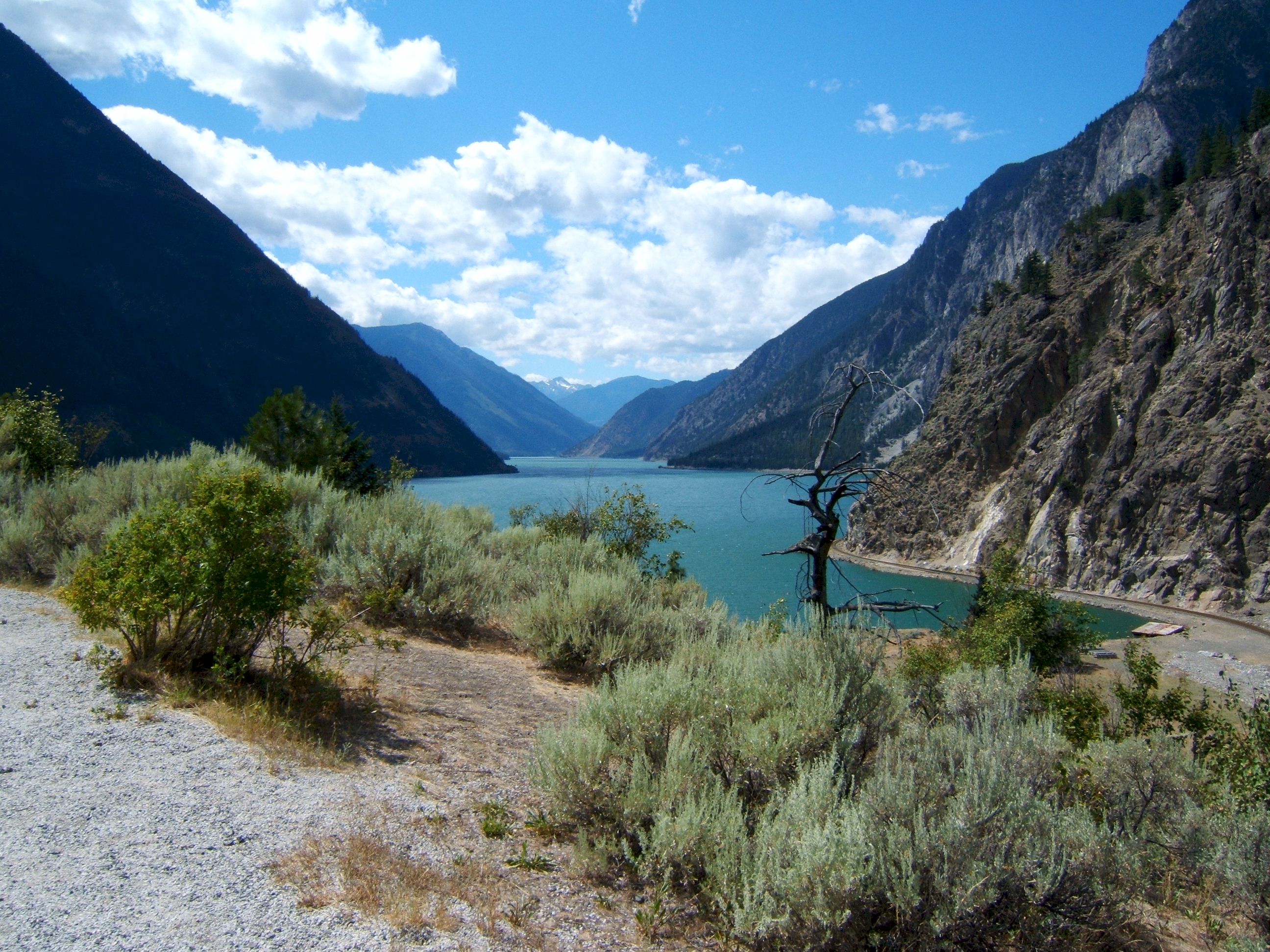
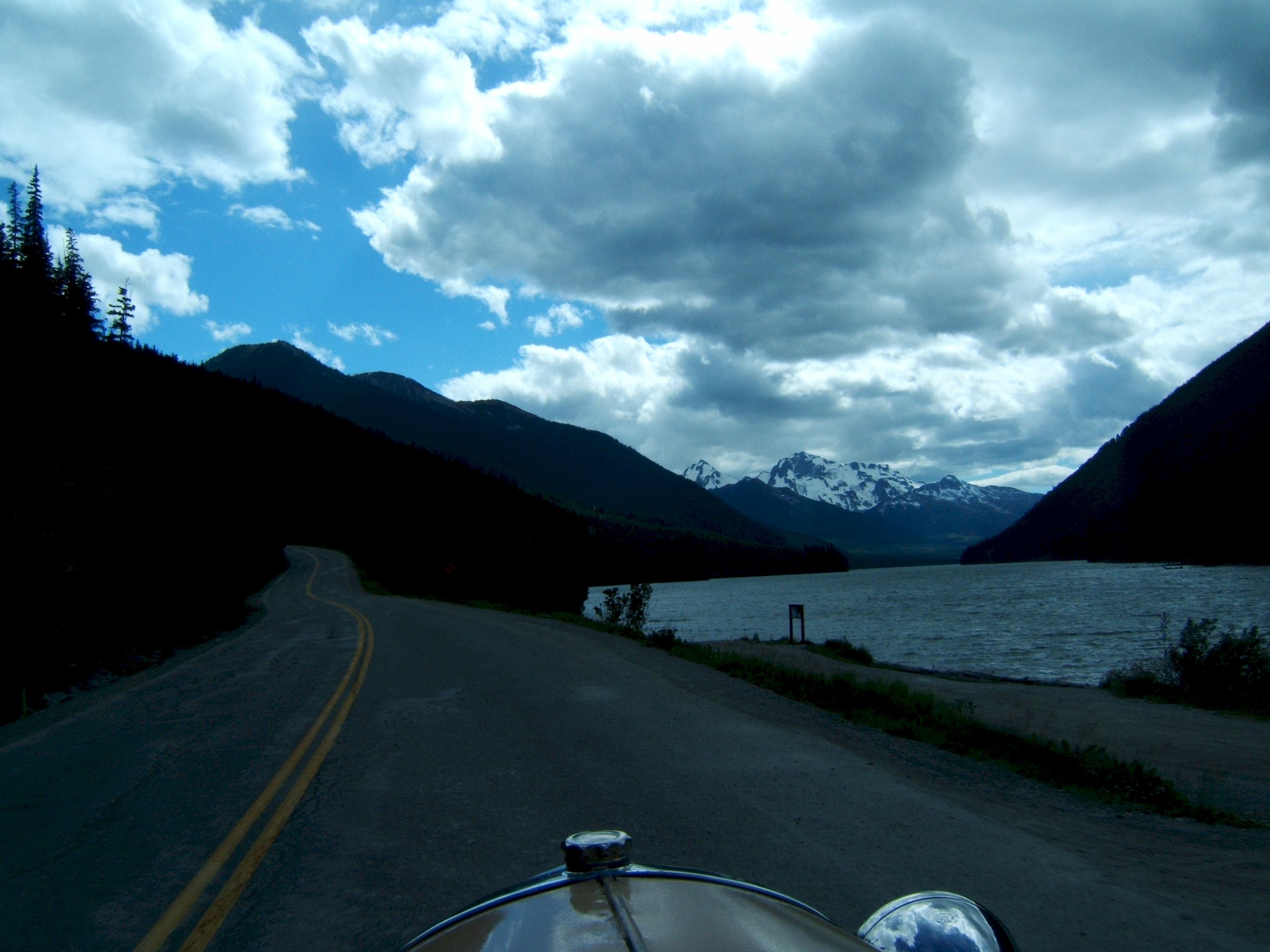
Seaton Lake is formed behind the Dam just past Lillooet. I stopped for lunch and a soda here, the gas is cheaper here, but I didn't fill up until Whistler.
I stopped at the road side view area, which way do I look?
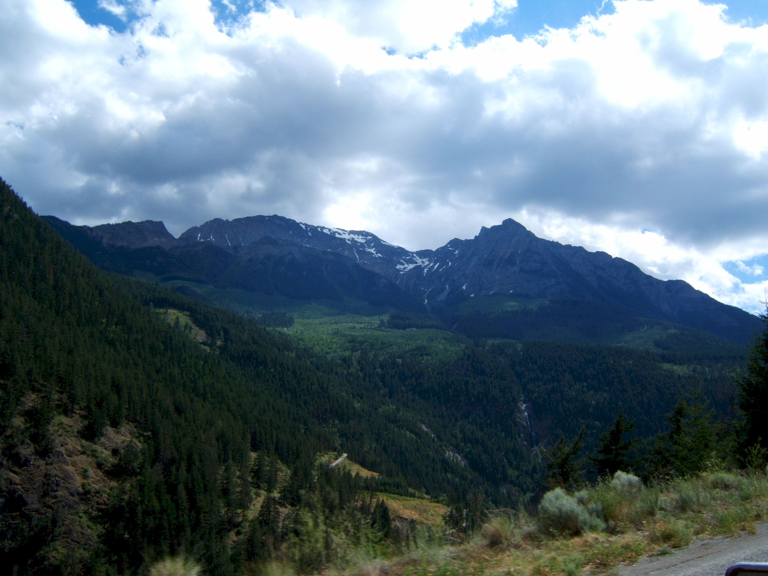
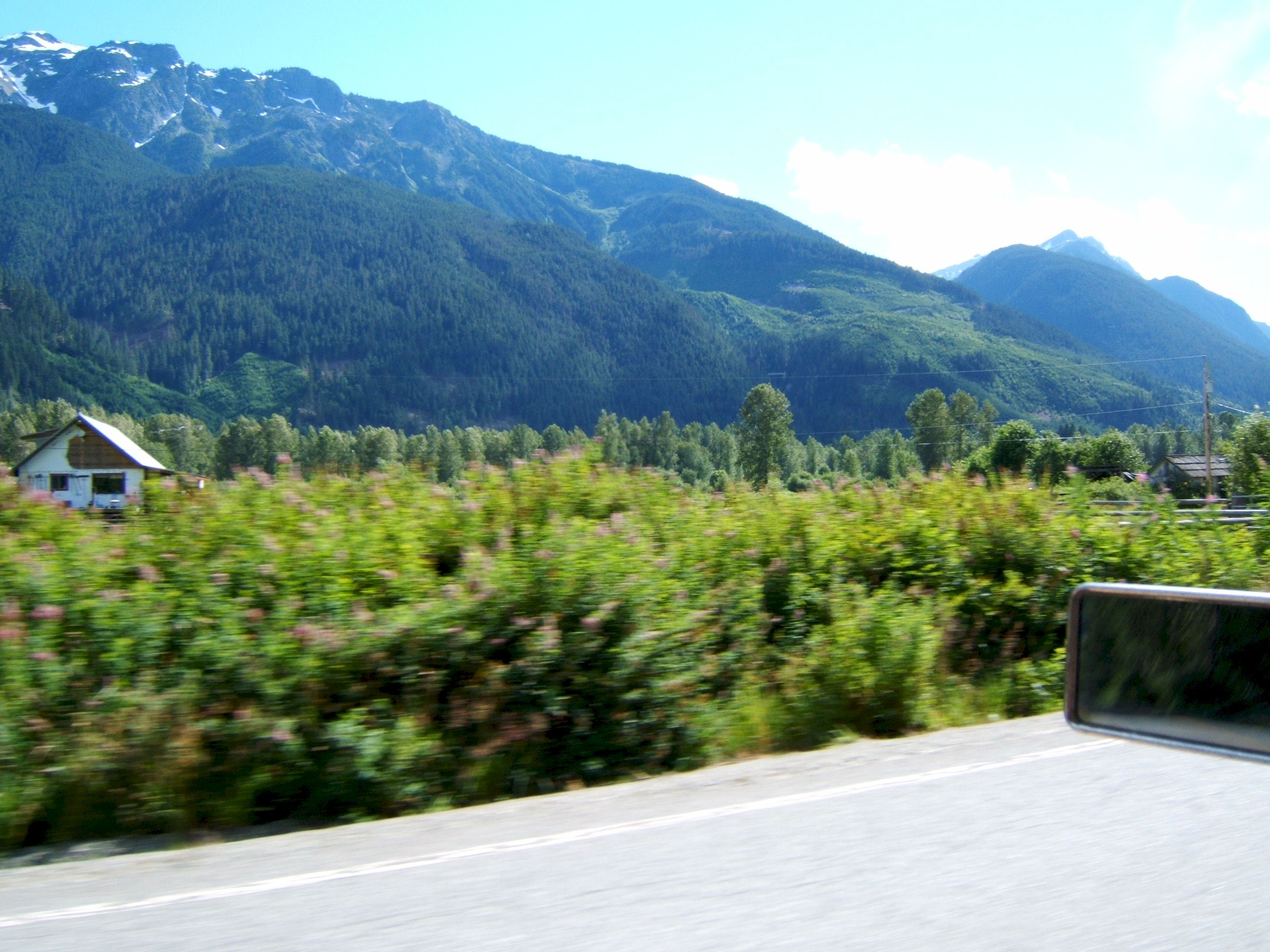
As I near Whistler there are more trees.
Even a little snow in the mountains.
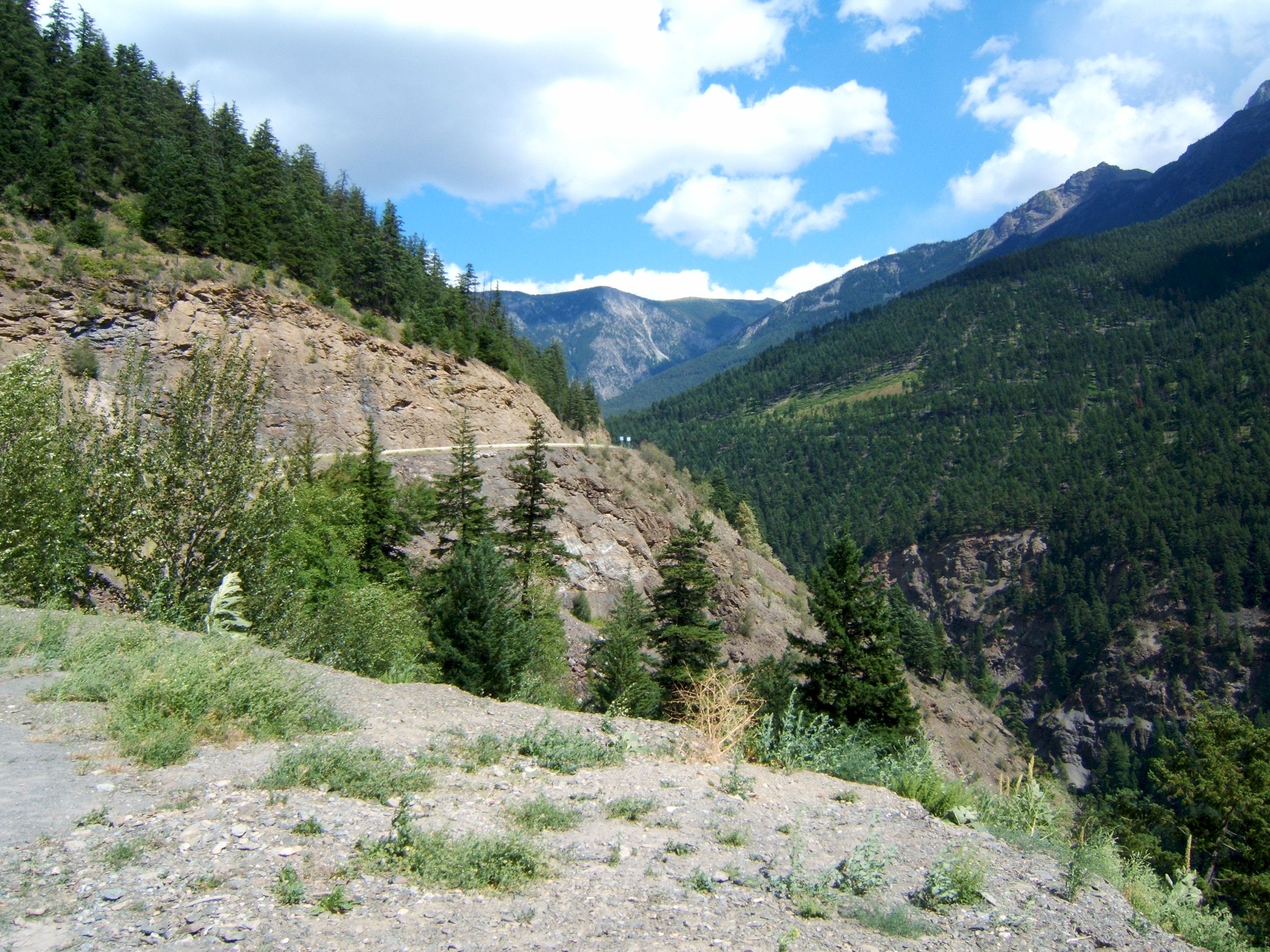
The road is carved out of the side of the rock.
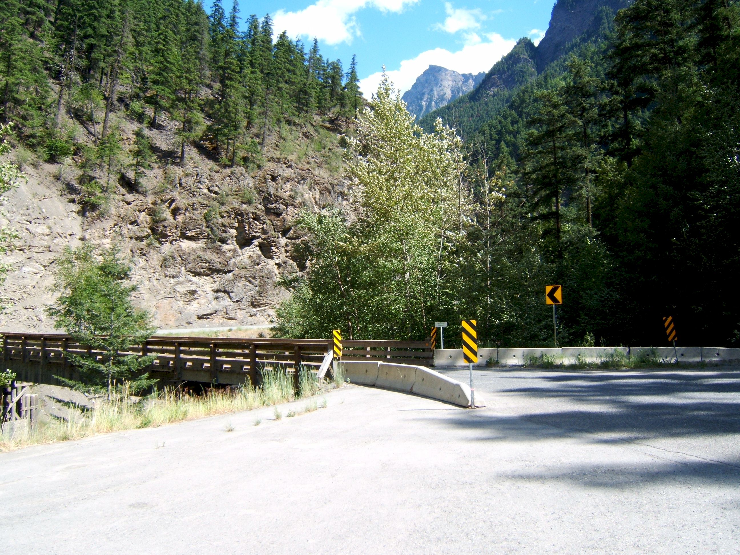
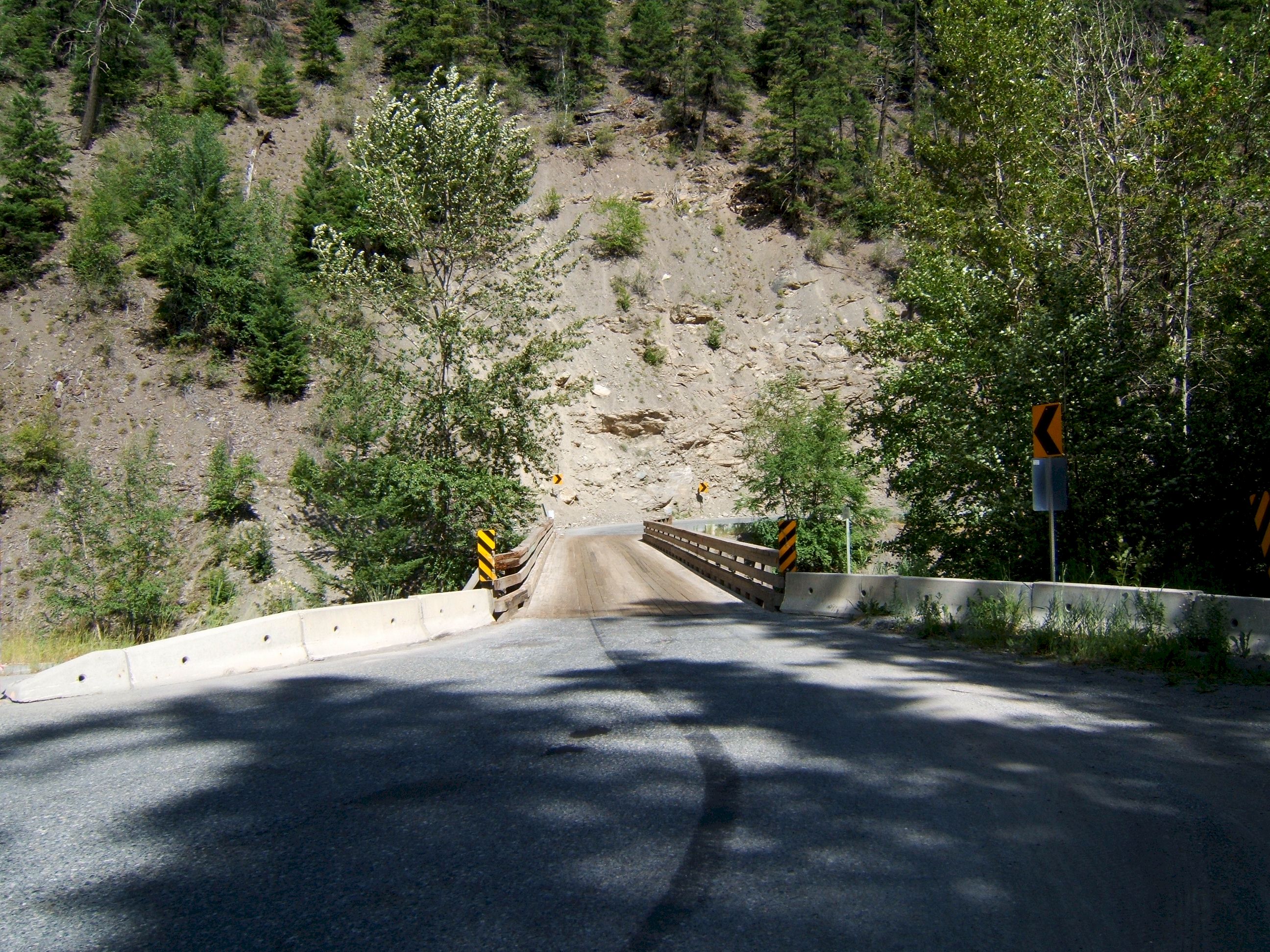
There were several of these one lane bridges.
You are on the honor system here, if you are first then go, otherwise wait for the other guy.
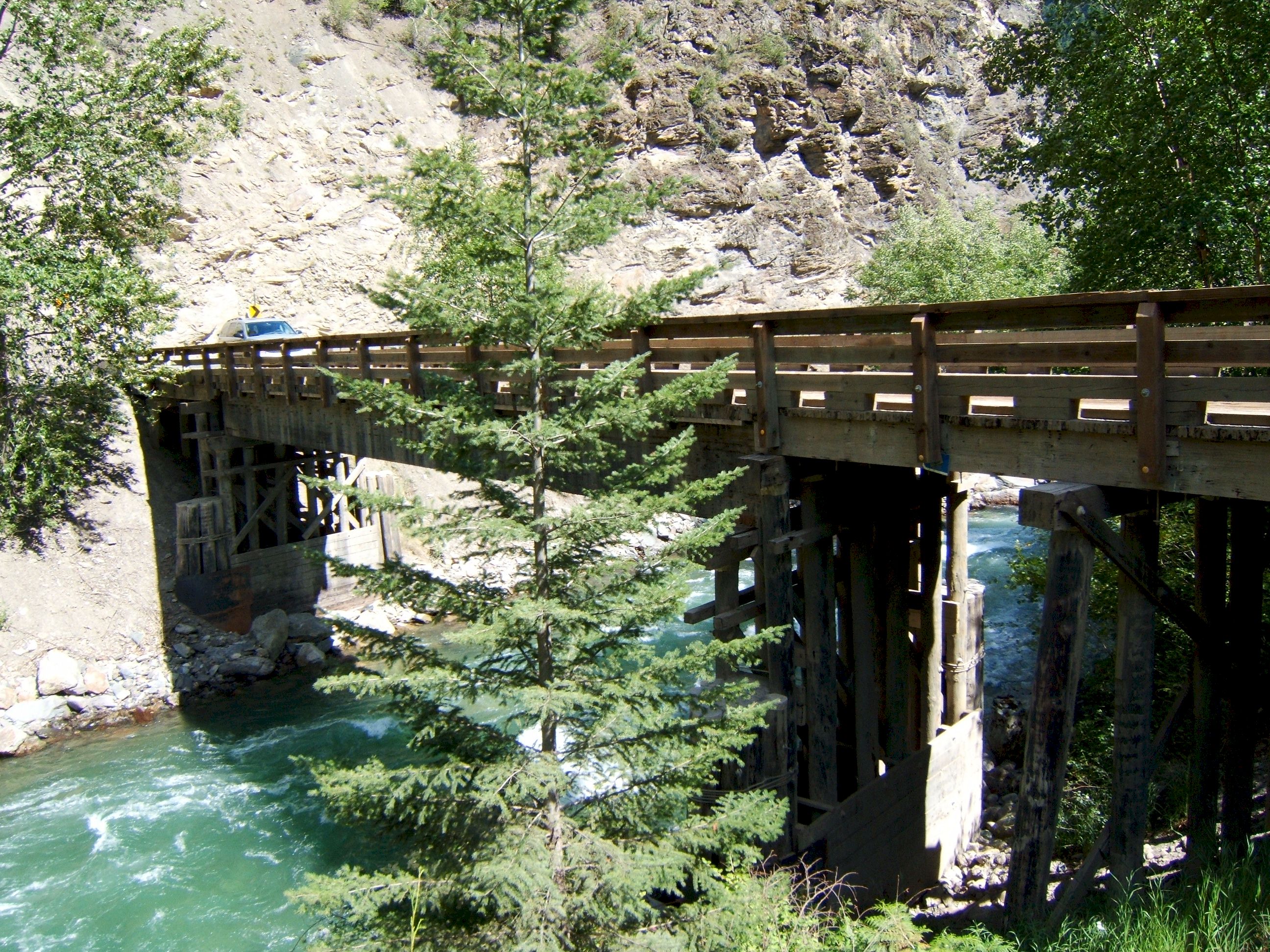
This is an all wood bridge.
Looks like a good place for a rest.
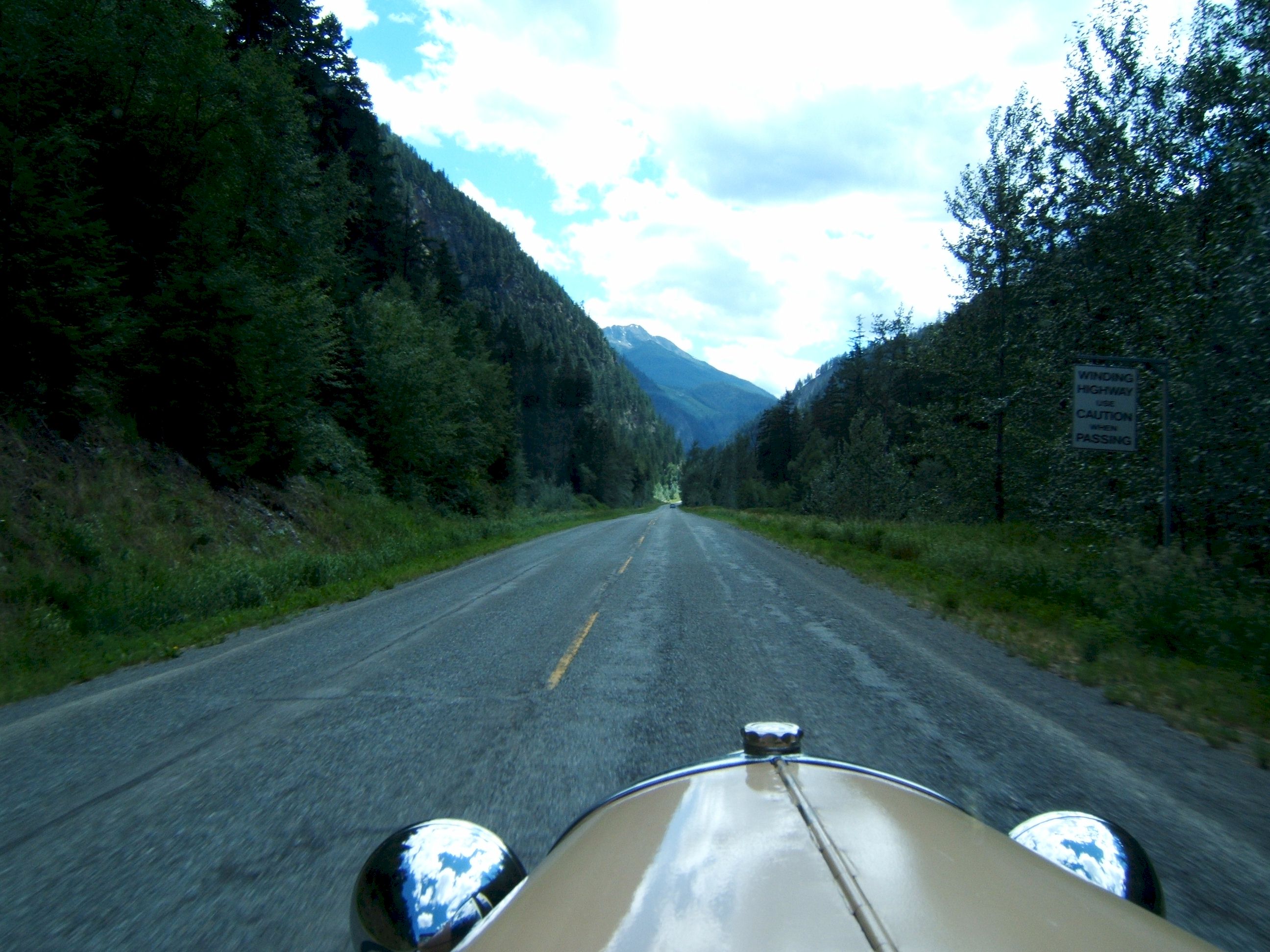
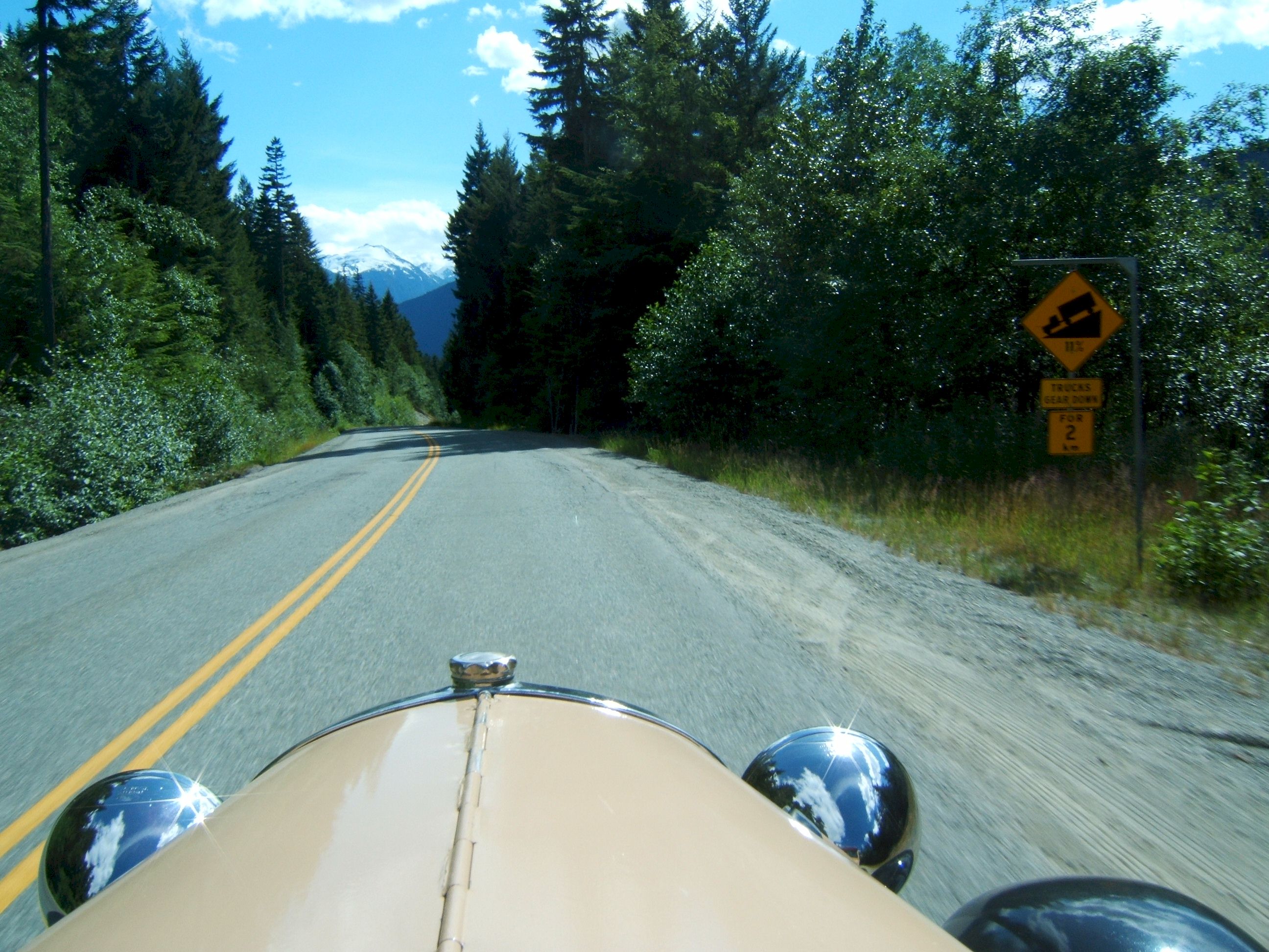
The road was in good shape.
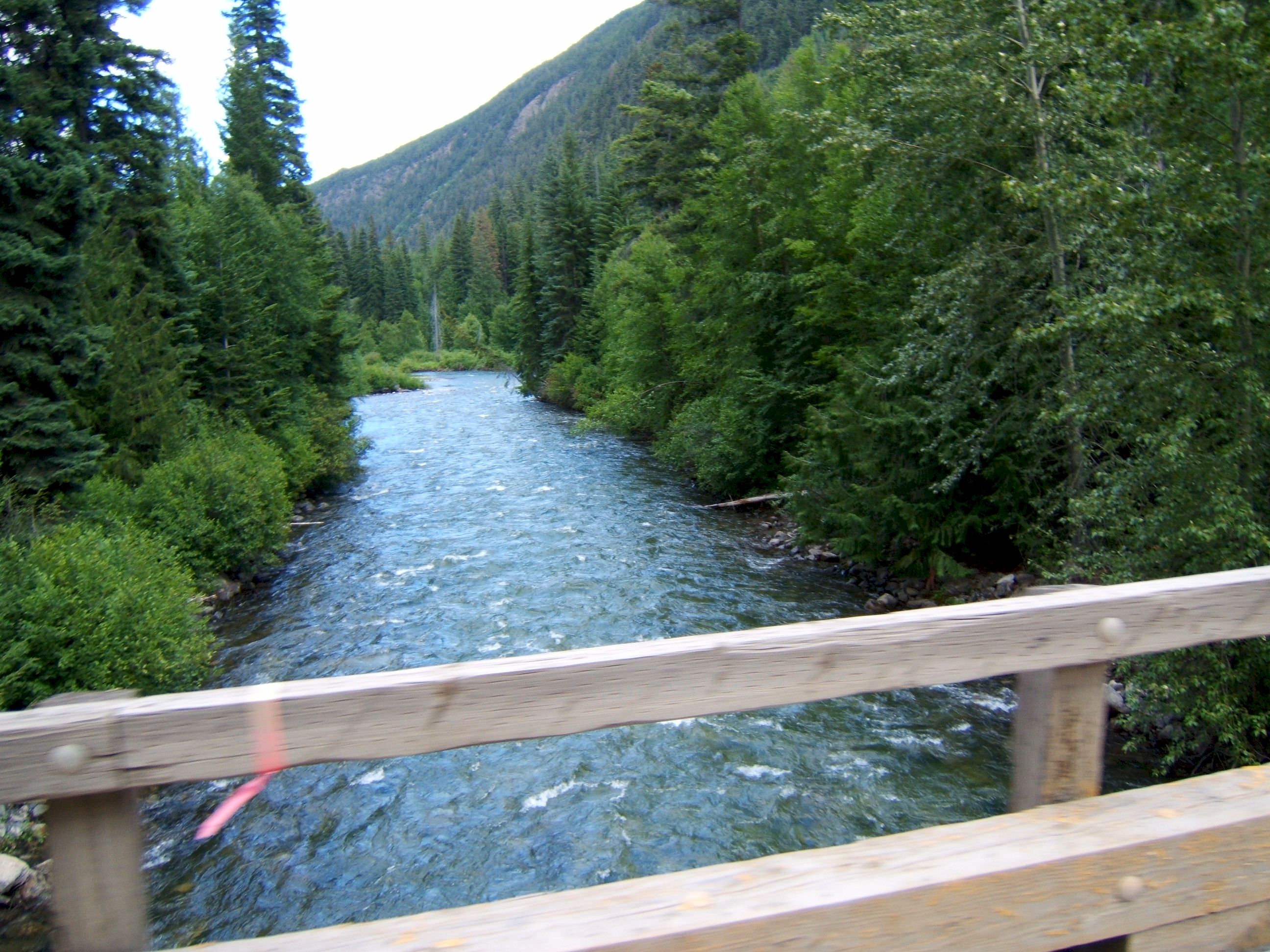
Crossing another one lane bridge. That sure is a great looking stream, I wish I had one in my back yard.
This is a white water river.
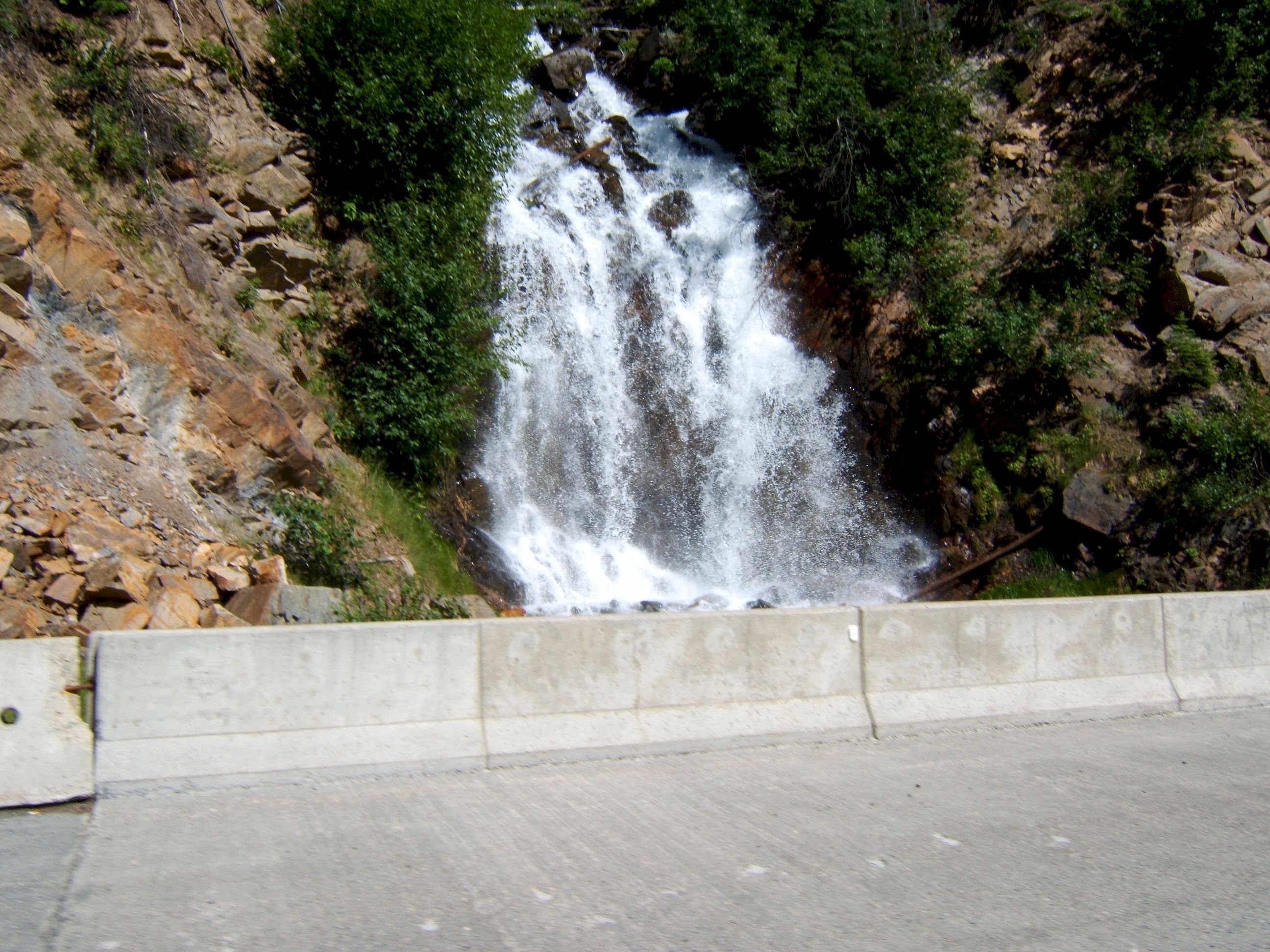
Just like Hawaii, water falls along the road.
Looks like a lot of snow in the mountains in the background, I must be nearing Whistler.
I have been climbing some steep mountains, and now it is time to back down the other side.
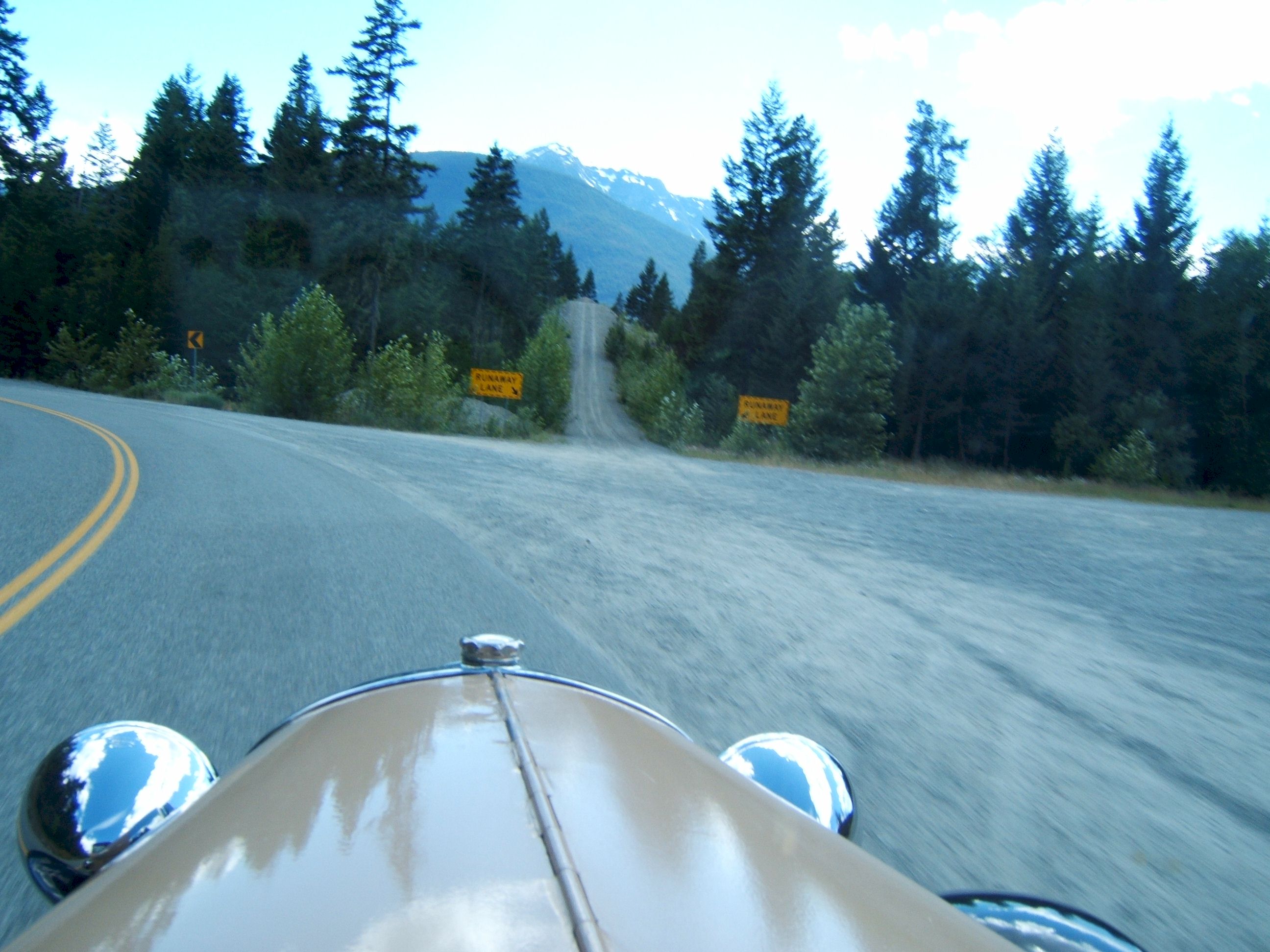
My breaks are good, I did not need the run off.
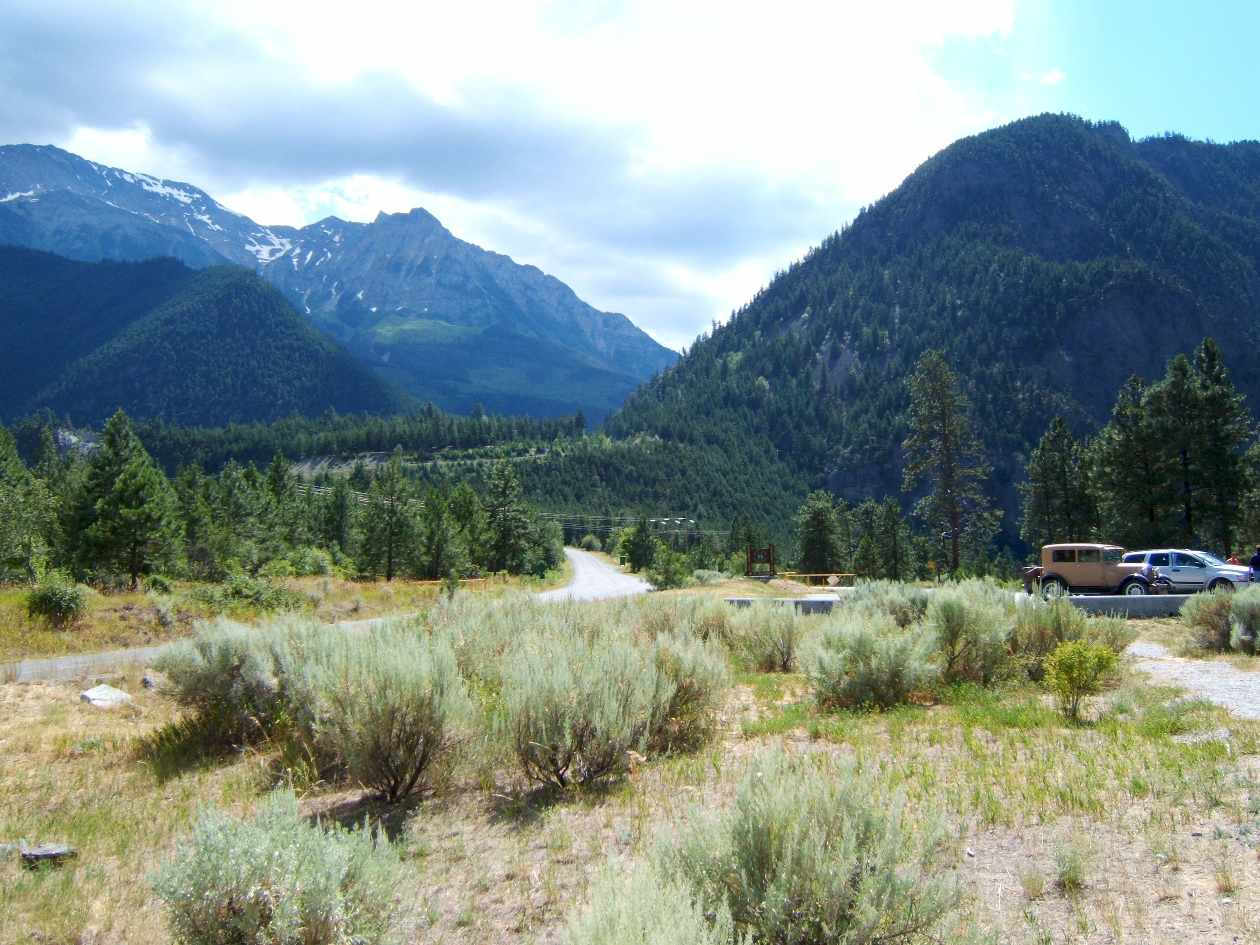
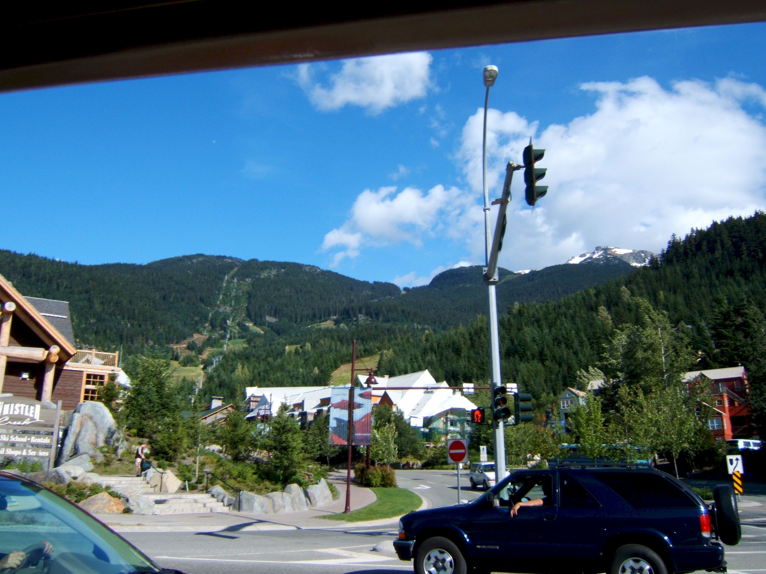
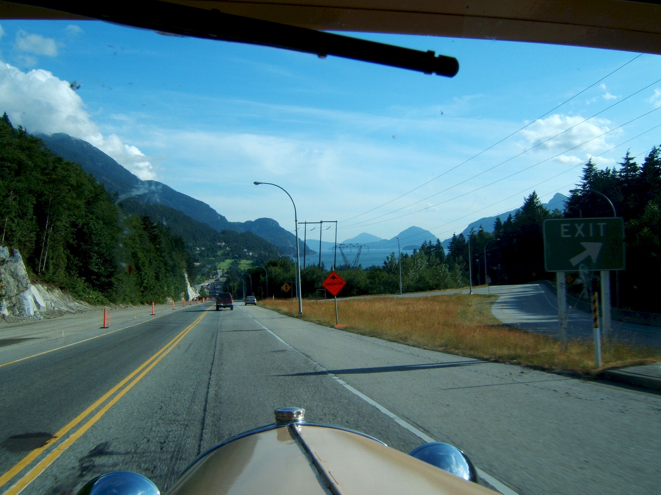
I was looking for a sign for downtown Whistler, but did not see one.
The trees were too tall and thick to see what was beyond the turn offs. There was a lot of traffic here.
I did find a gas station I could see from the road and pulled in there.
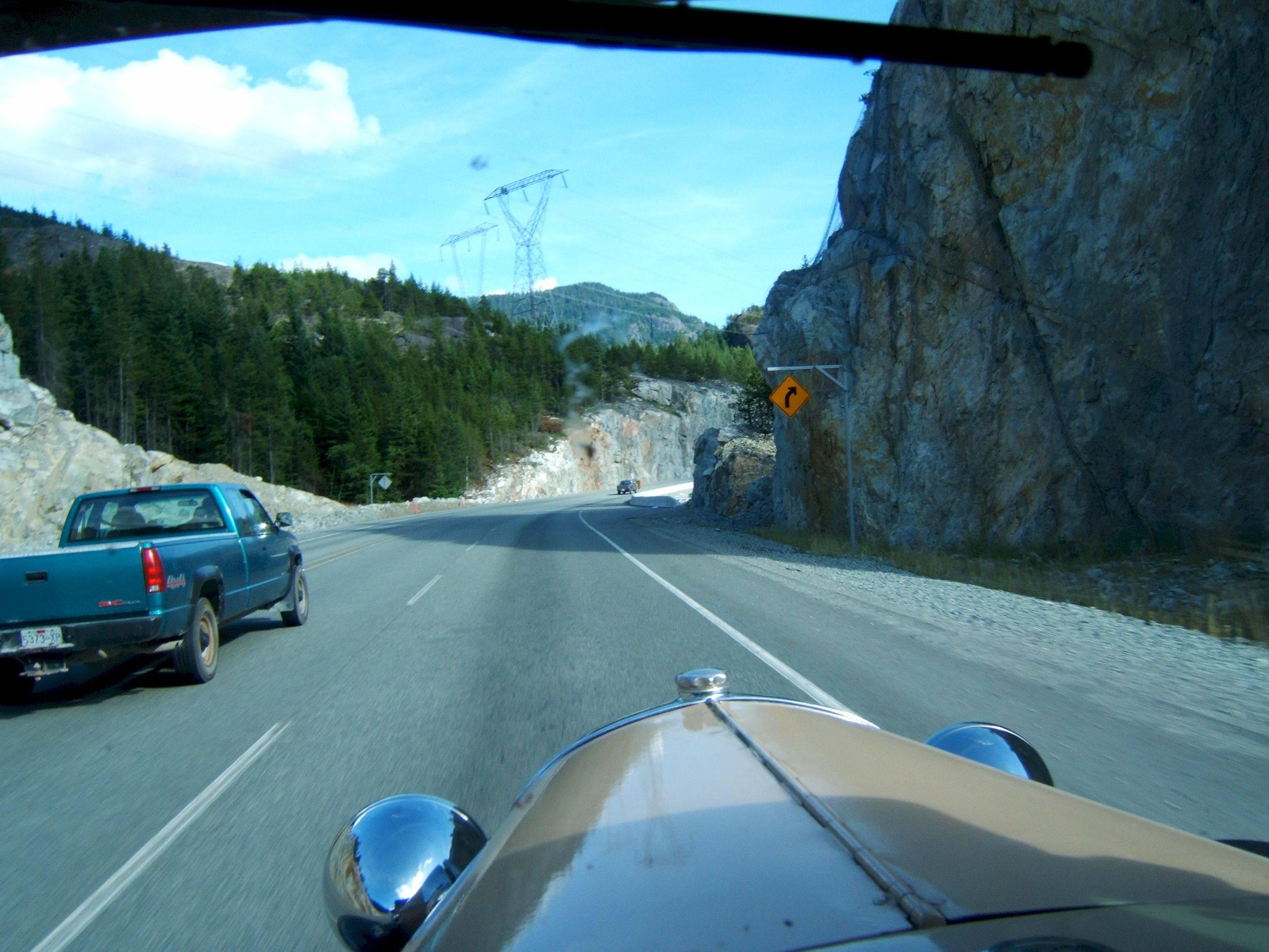
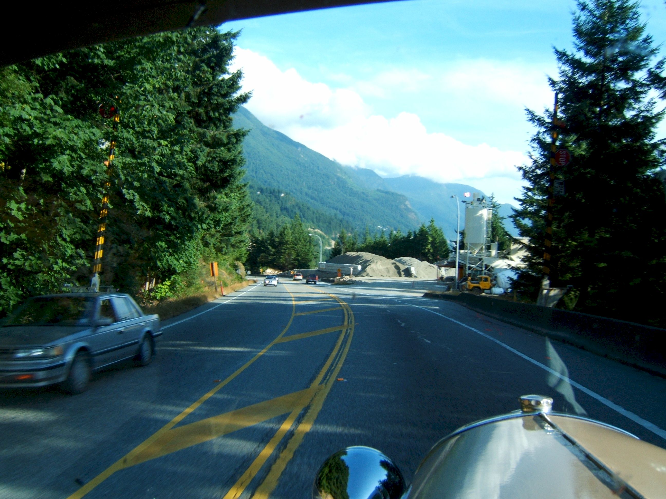
This part of the road from Whistler to Vancouver is being widened and improved for the Winter Olympics in 2008.
For several miles the road was very narrow with construction on both sides.
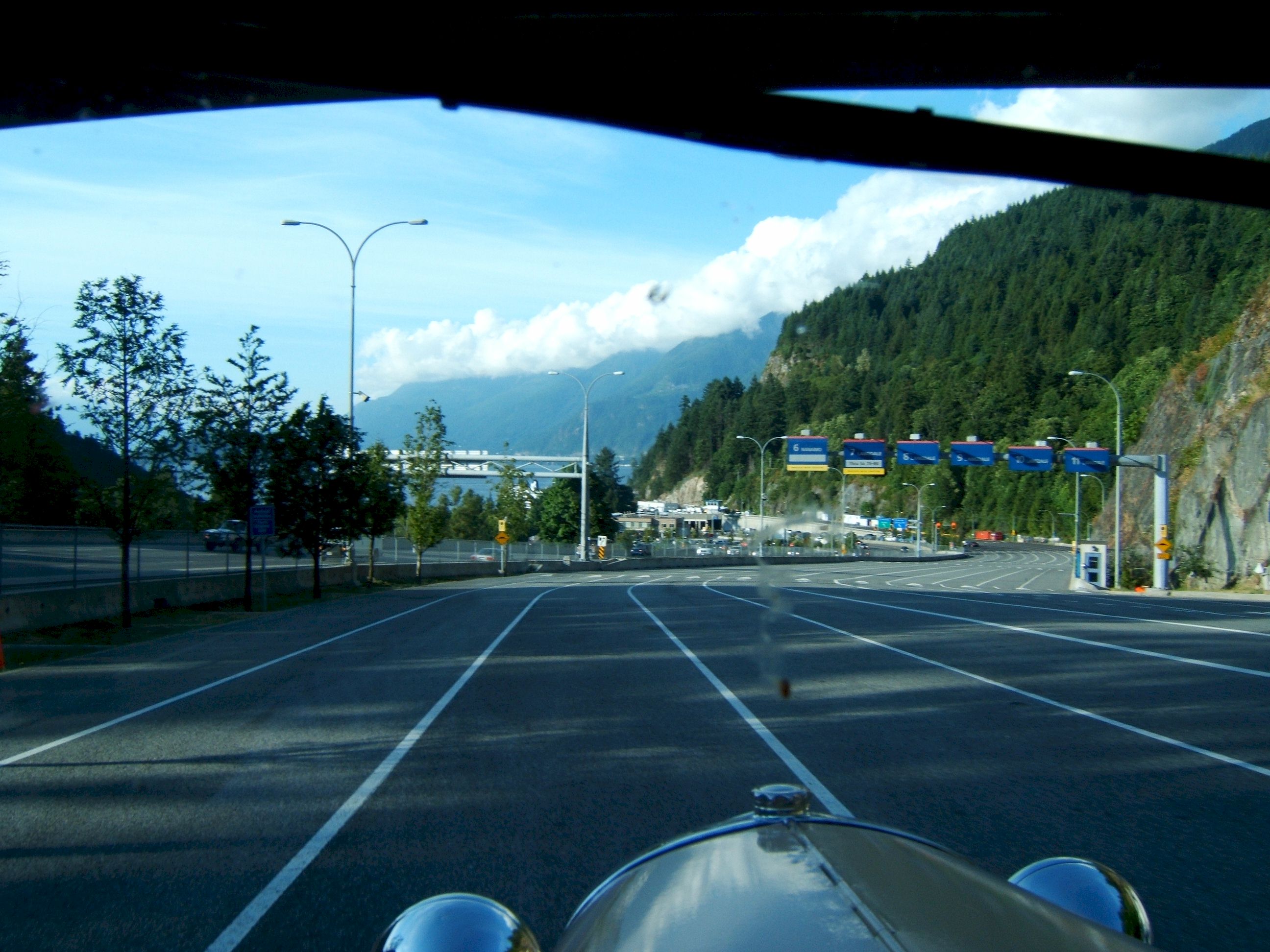
As I was driving along I saw a sign for the Ferry. I missed it but turned around at the next road.
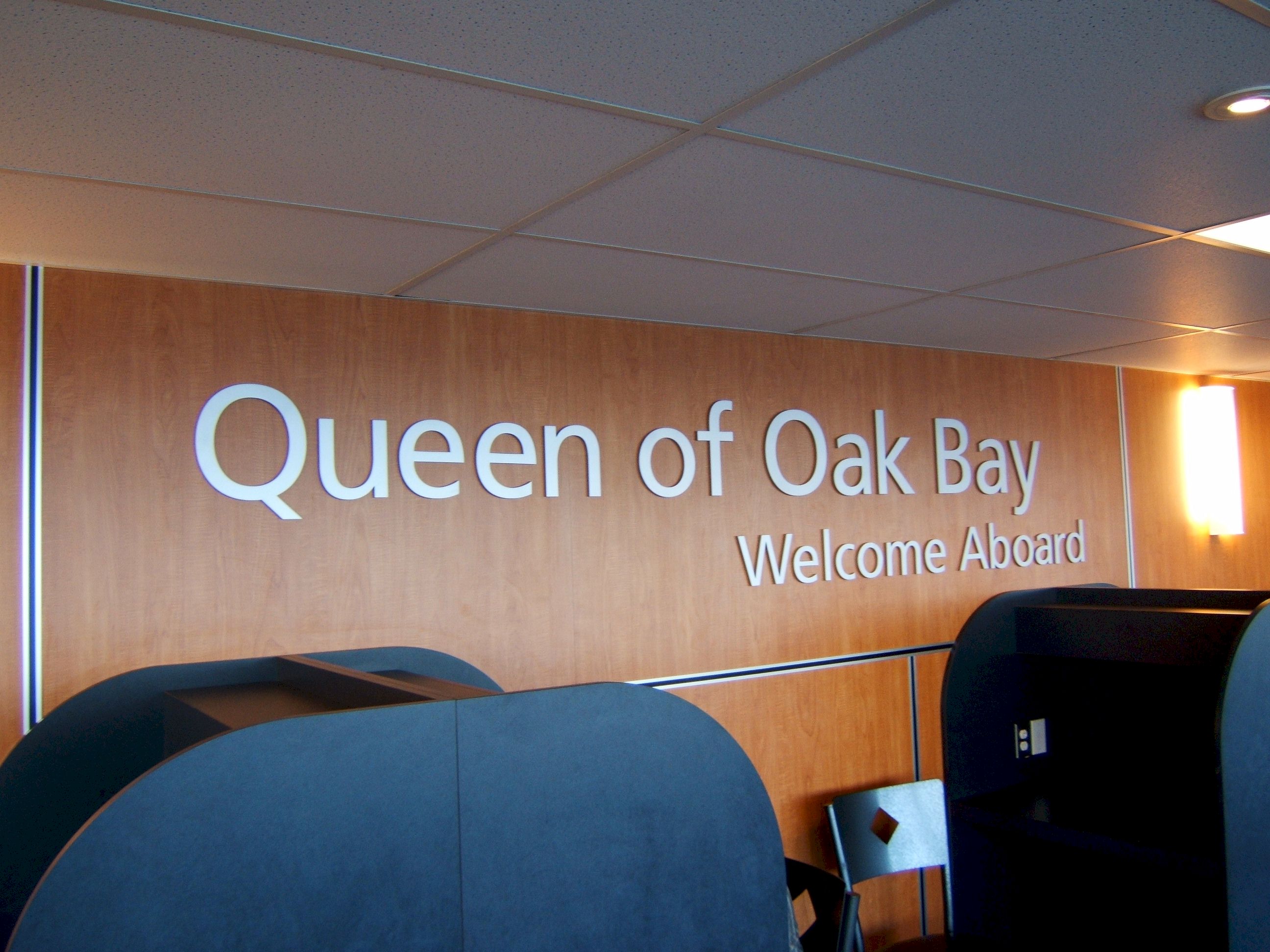
When I drove up to the attendant and asked when the next Ferry to Vancouver Island was, He said we are loading right now. I handed him my credit card, paid my fee and drove onto the Ferry. I could not have been happier.
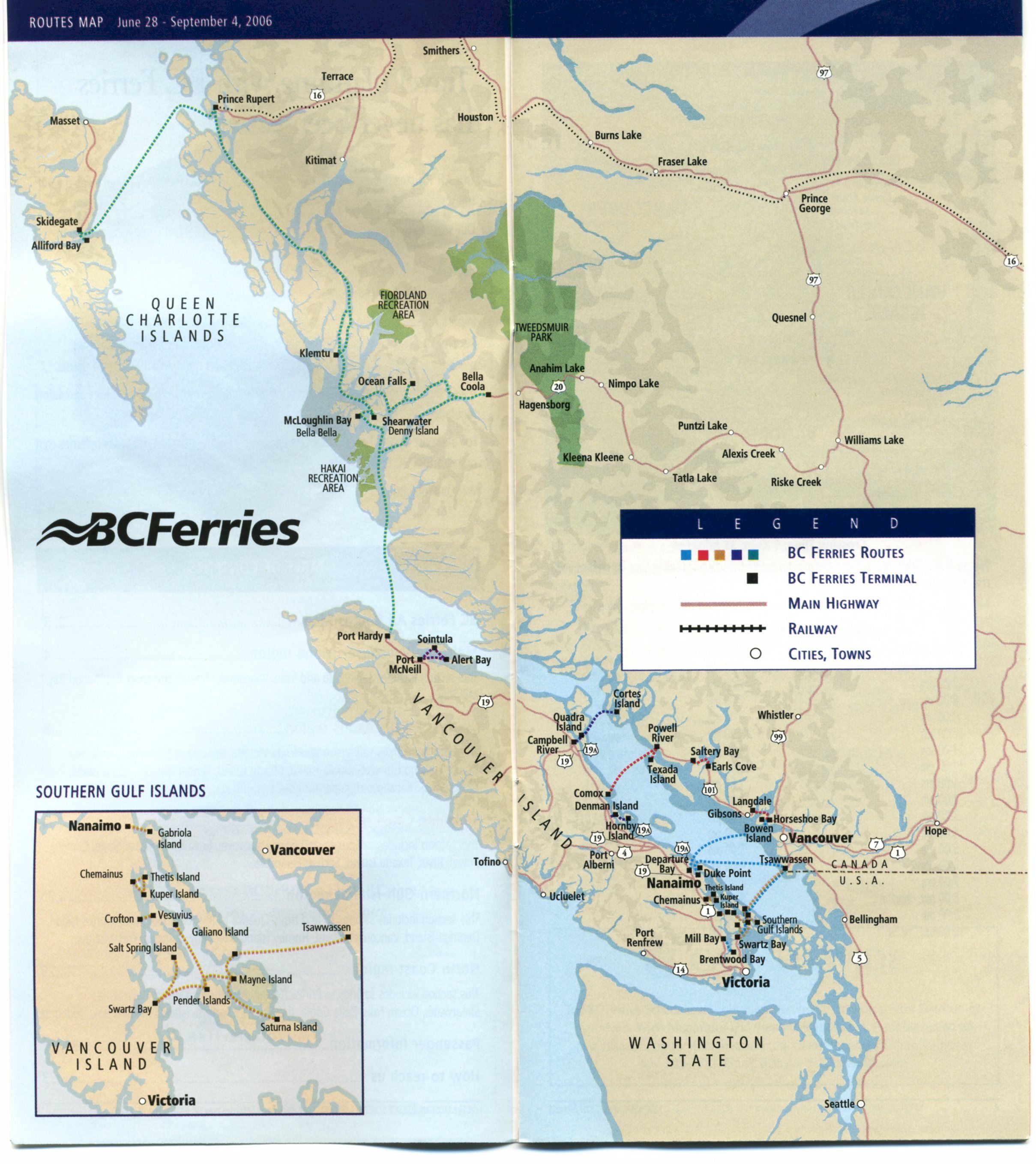
Ferry routes.
When I got out of the car I noticed everyone hurriedly heading for the stairs leading upward. I locked everything up and headed that way too. I soon saw why they were in a hurry, there was a wonderful dinning room. I had a salmon dinner for under ten dollars. I did not have my camera with me at that time.
After I had eaten I went back down and got my camera, by then most people had already gotten their meals and were relaxing on deck
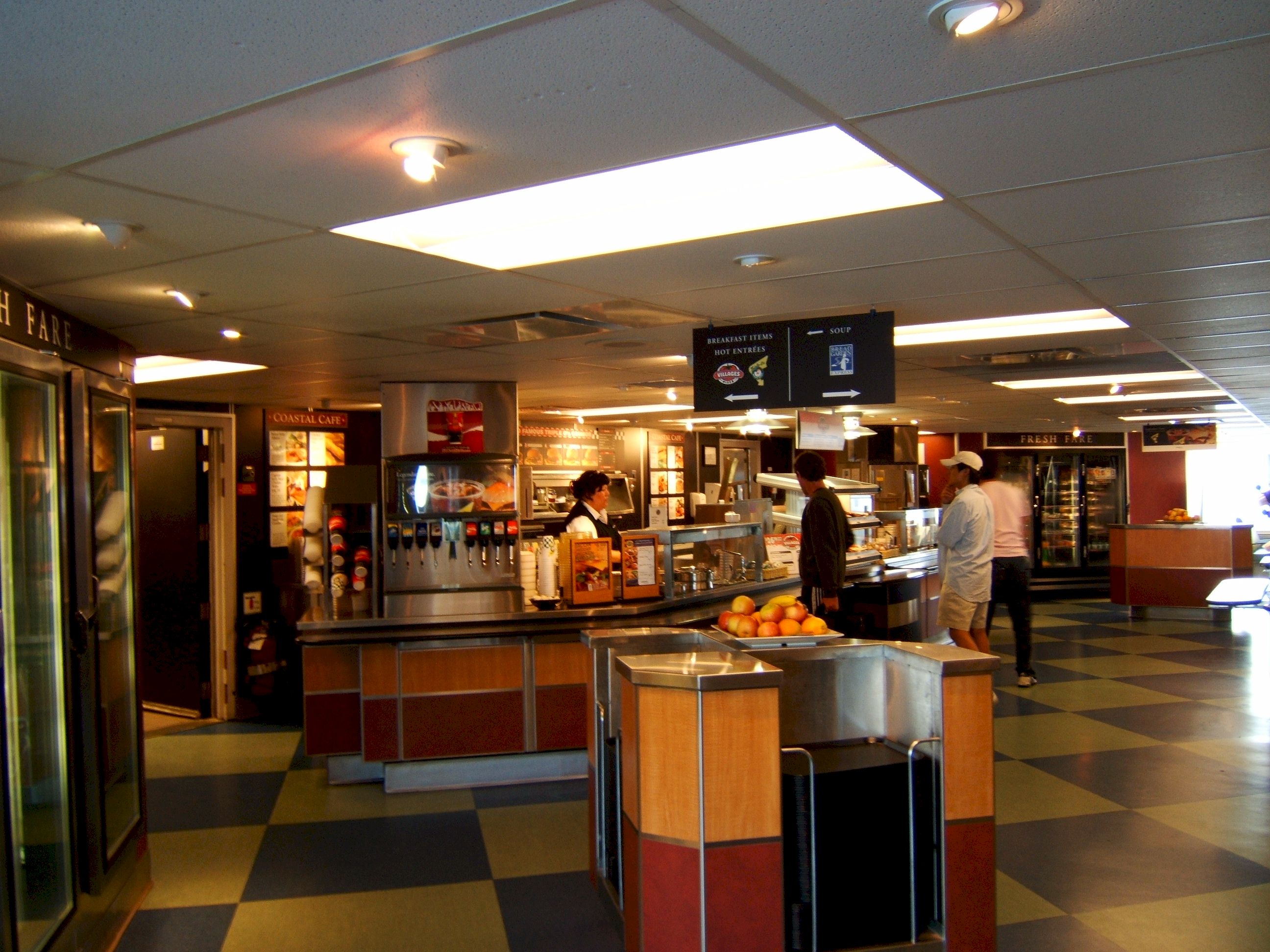
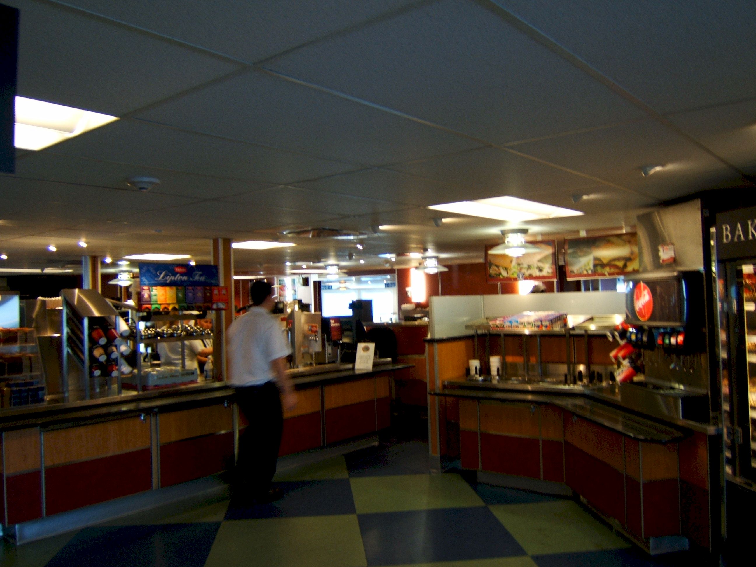
The snack bar area.
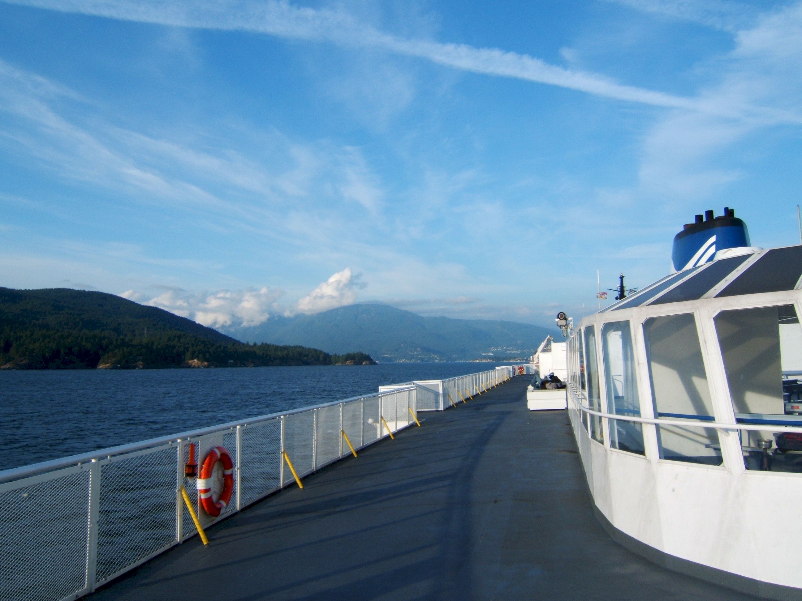
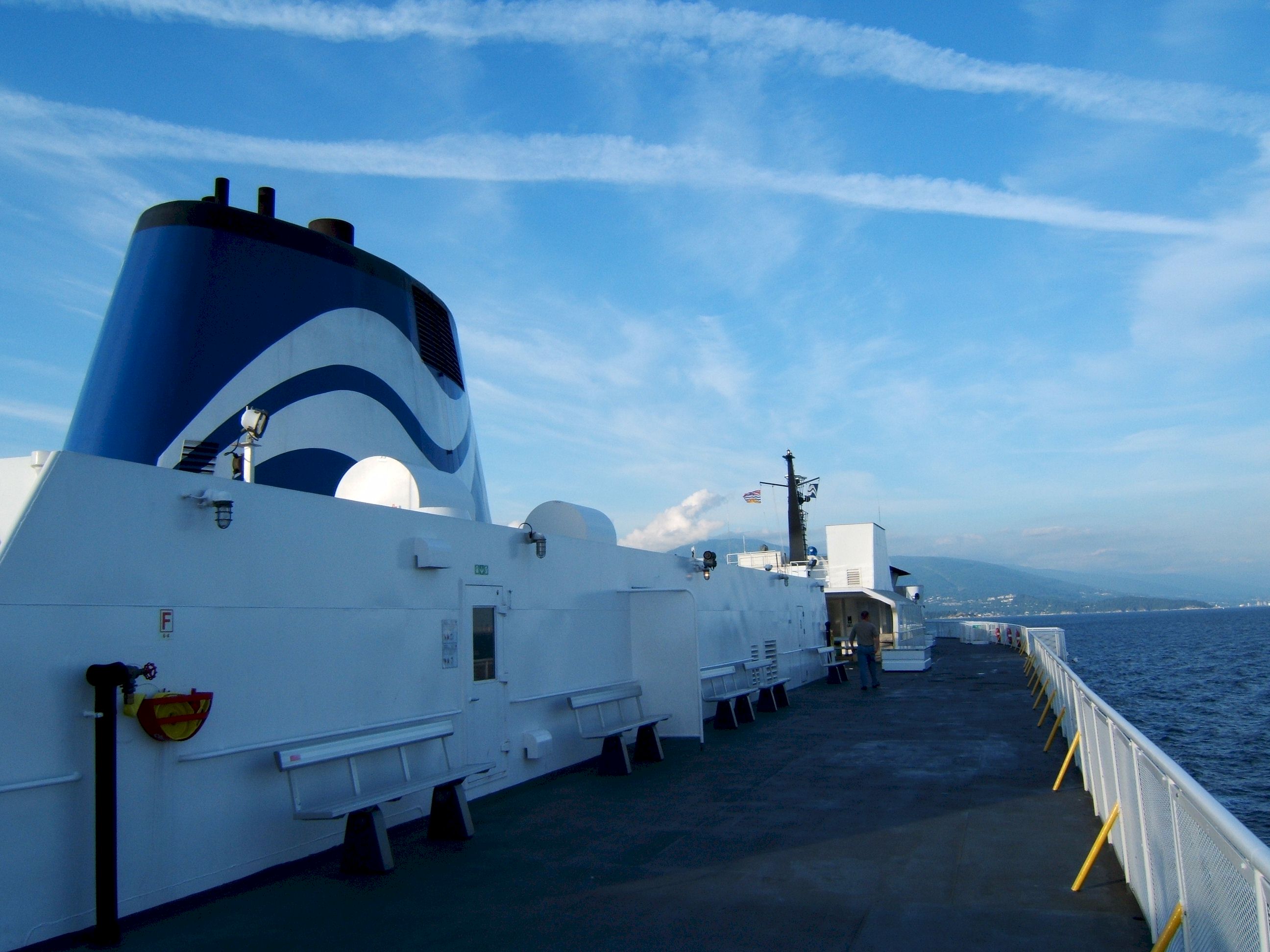
Up on top you can get a great view.
This was a large Ferry.
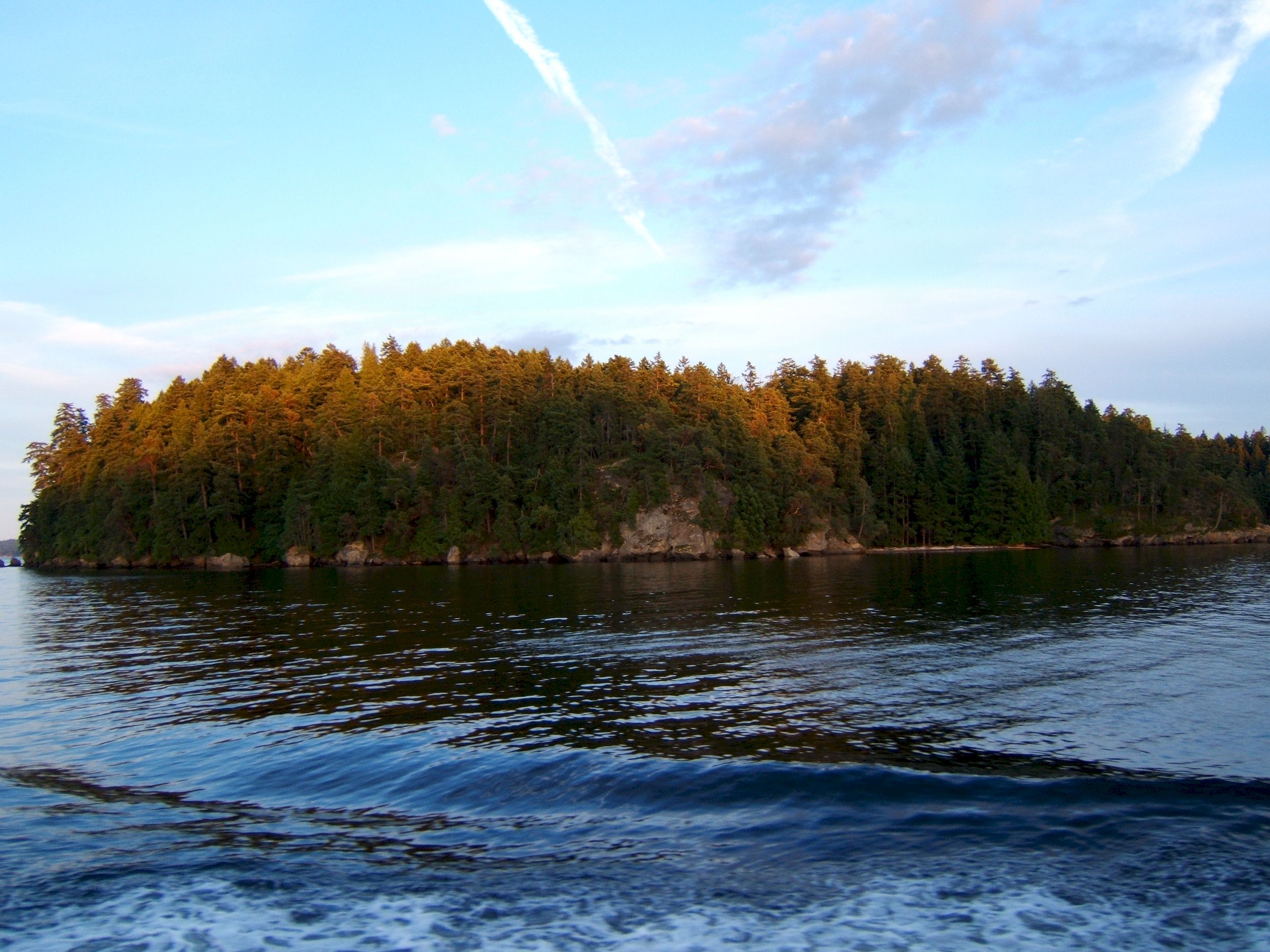
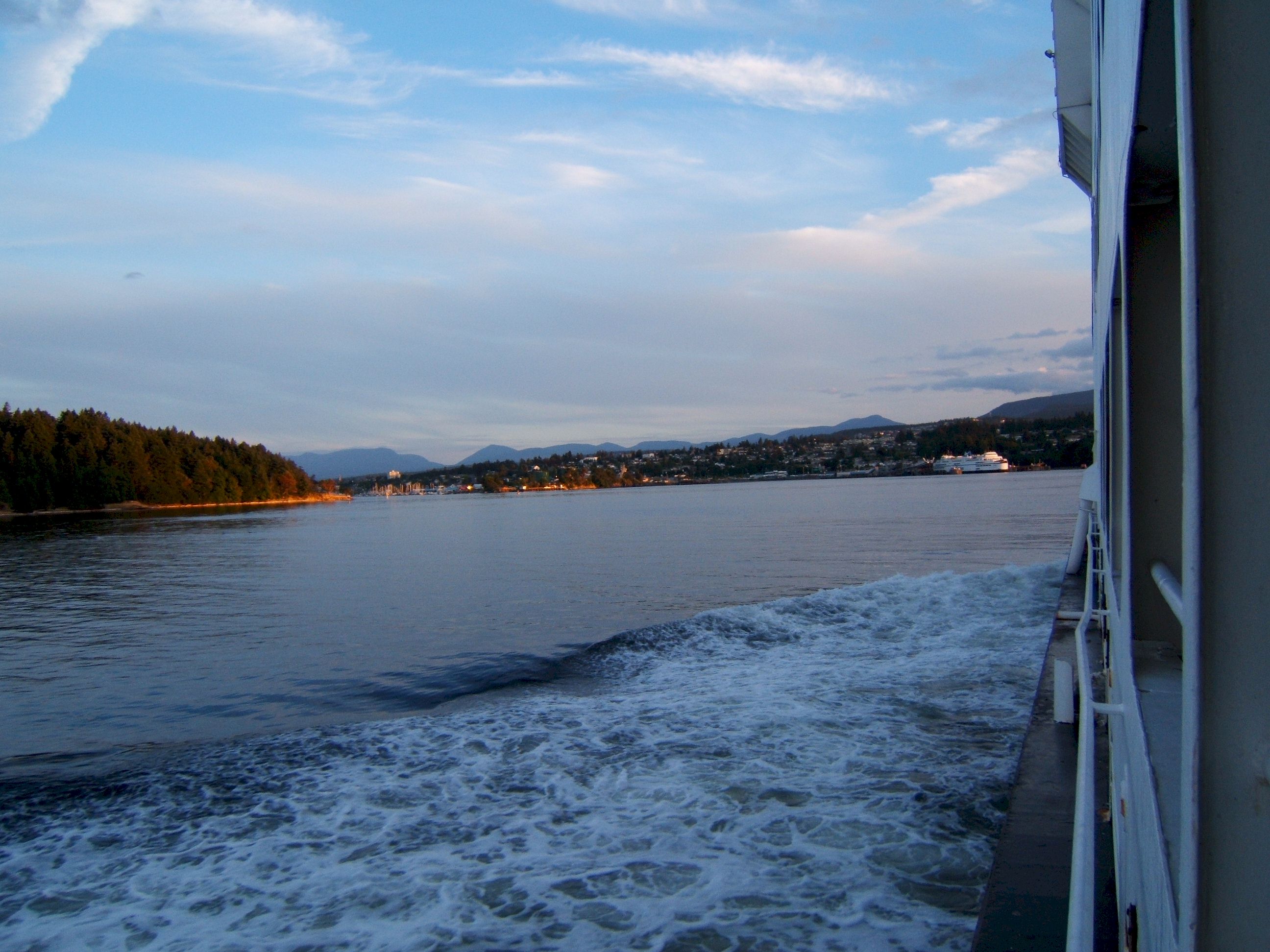
We are nearing Destination Bay.
That was a good long day, from the middle of British Columbia to the Coast.
|