|
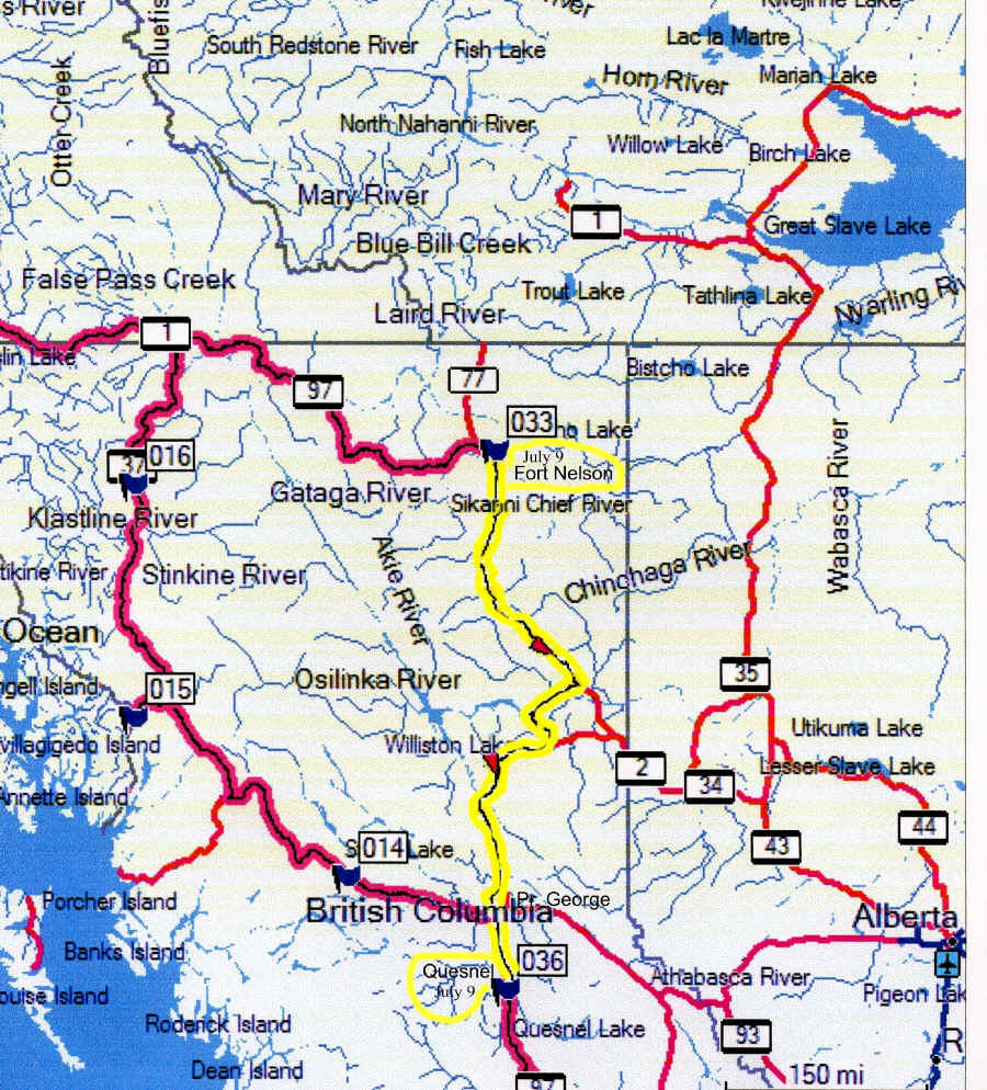
Day 23 Sunday, July 9 Sunday July 9, I drove 598 miles from Ft. Nelson N58 48.152 W122 41.161 to Quesnel N52 58.856 W122 29.802
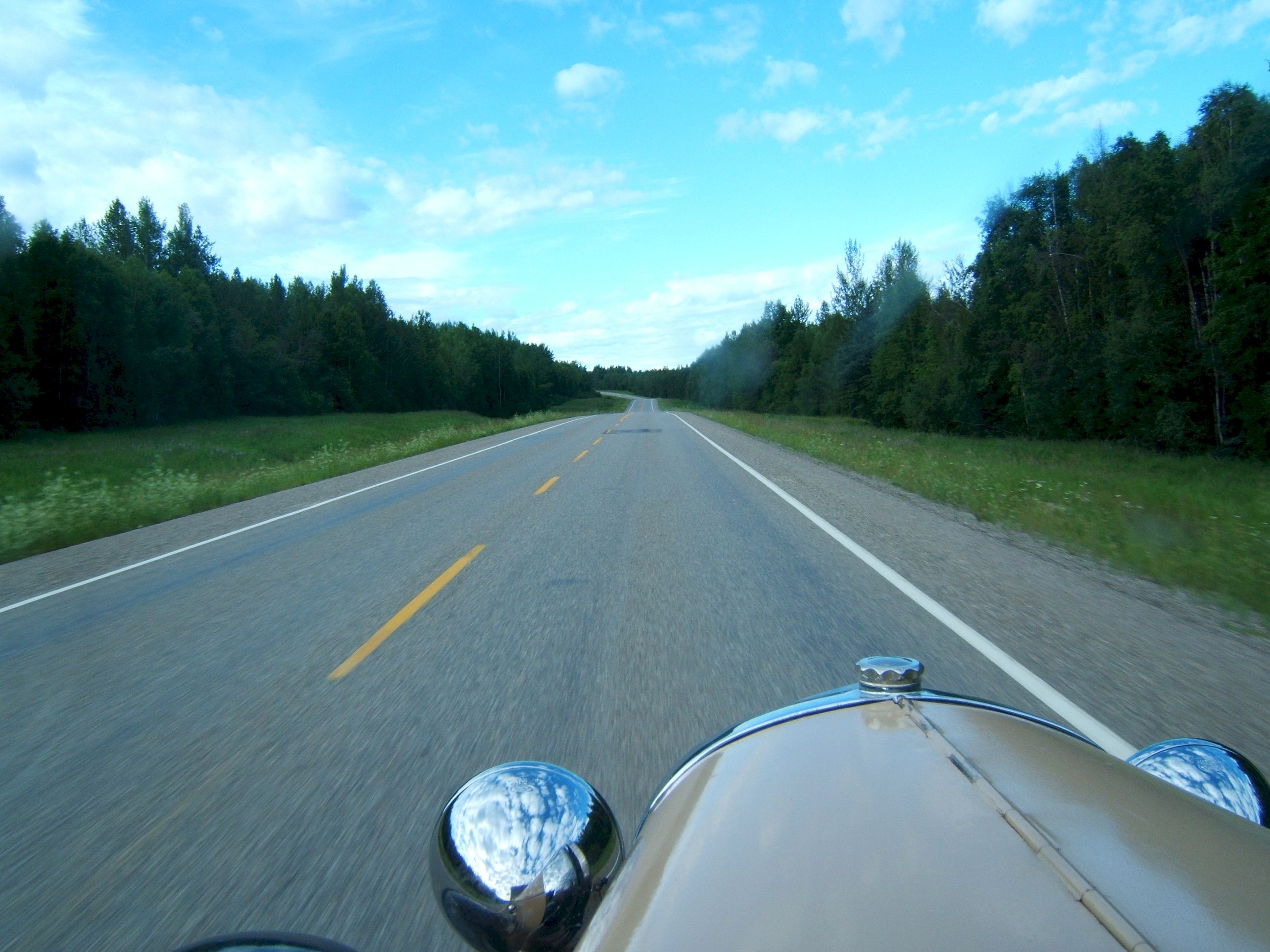
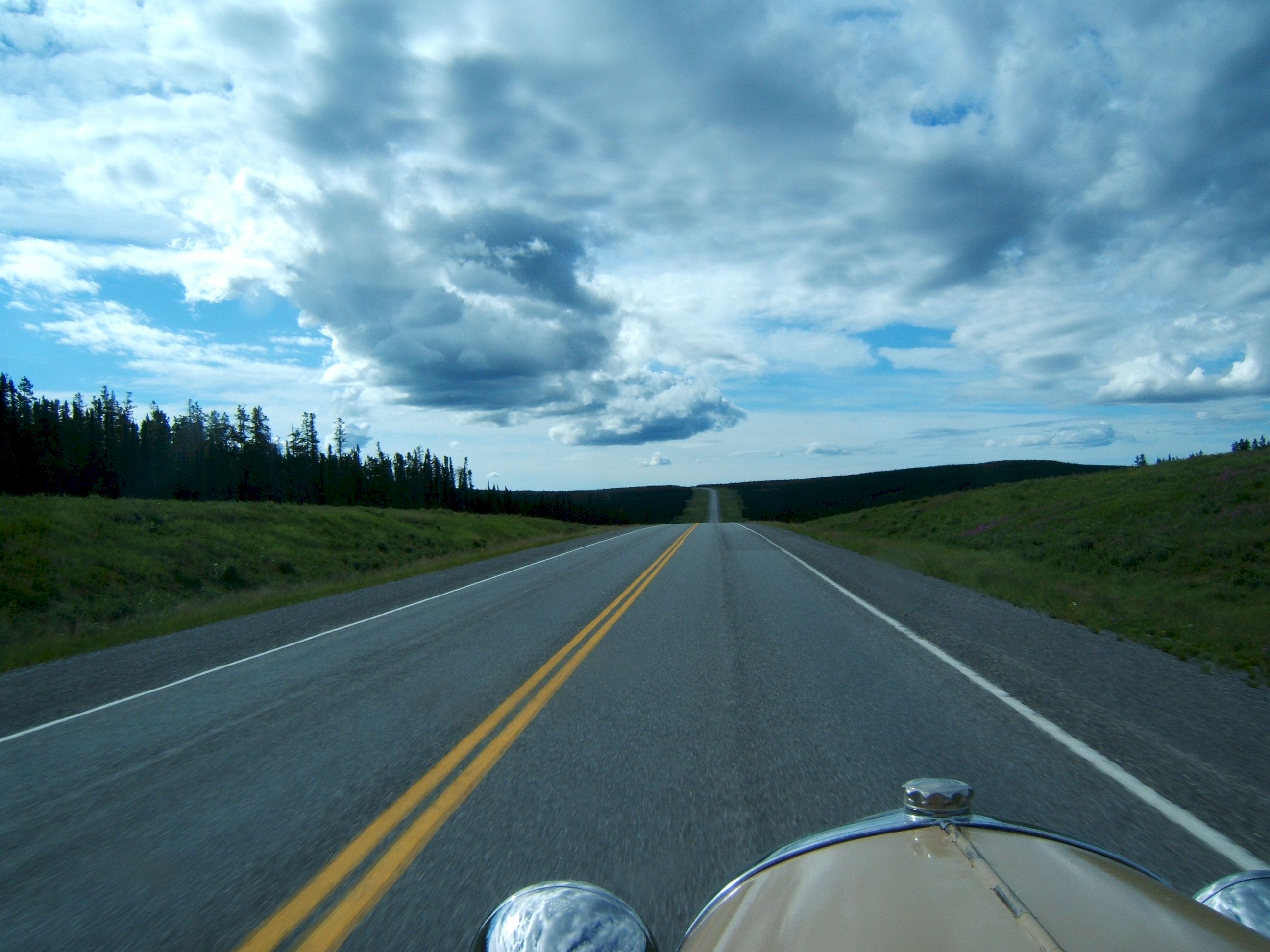
I was up and gone from Fort Nelson by 7:30 am. This picture looks like many others I've taken in the past few days, but I checked the picture number and date twice, it is after Ft. Nelson on the way south.
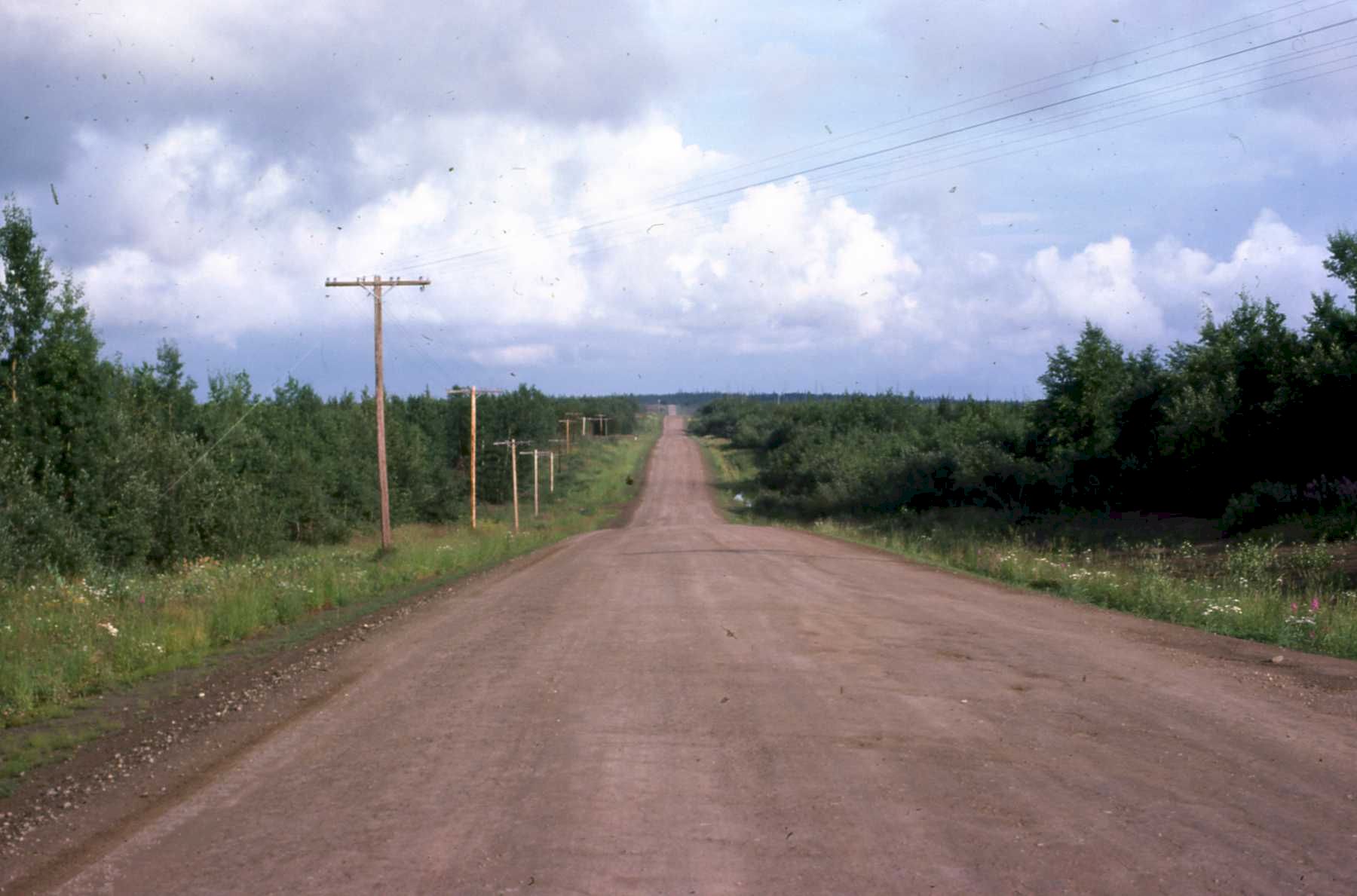
This is an example of a good section of the road in 1975. It was not as bad as some people claimed. I have never gotten a flat tire on the road, but I have had windshields pitted from rocks.
In 1975 Canada would have water trucks and graders continuously smoothing the road. some places is was better than blacktop.
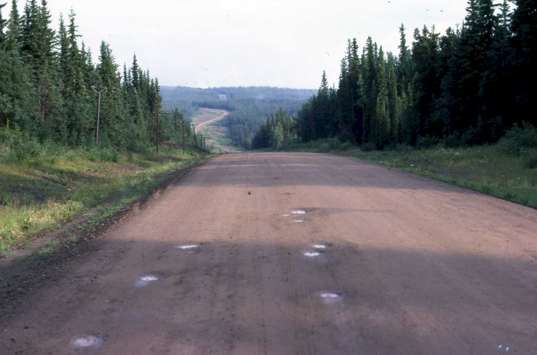
Pot holes in the old road. 1975
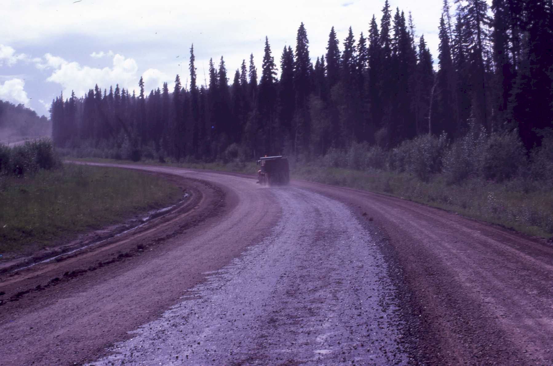
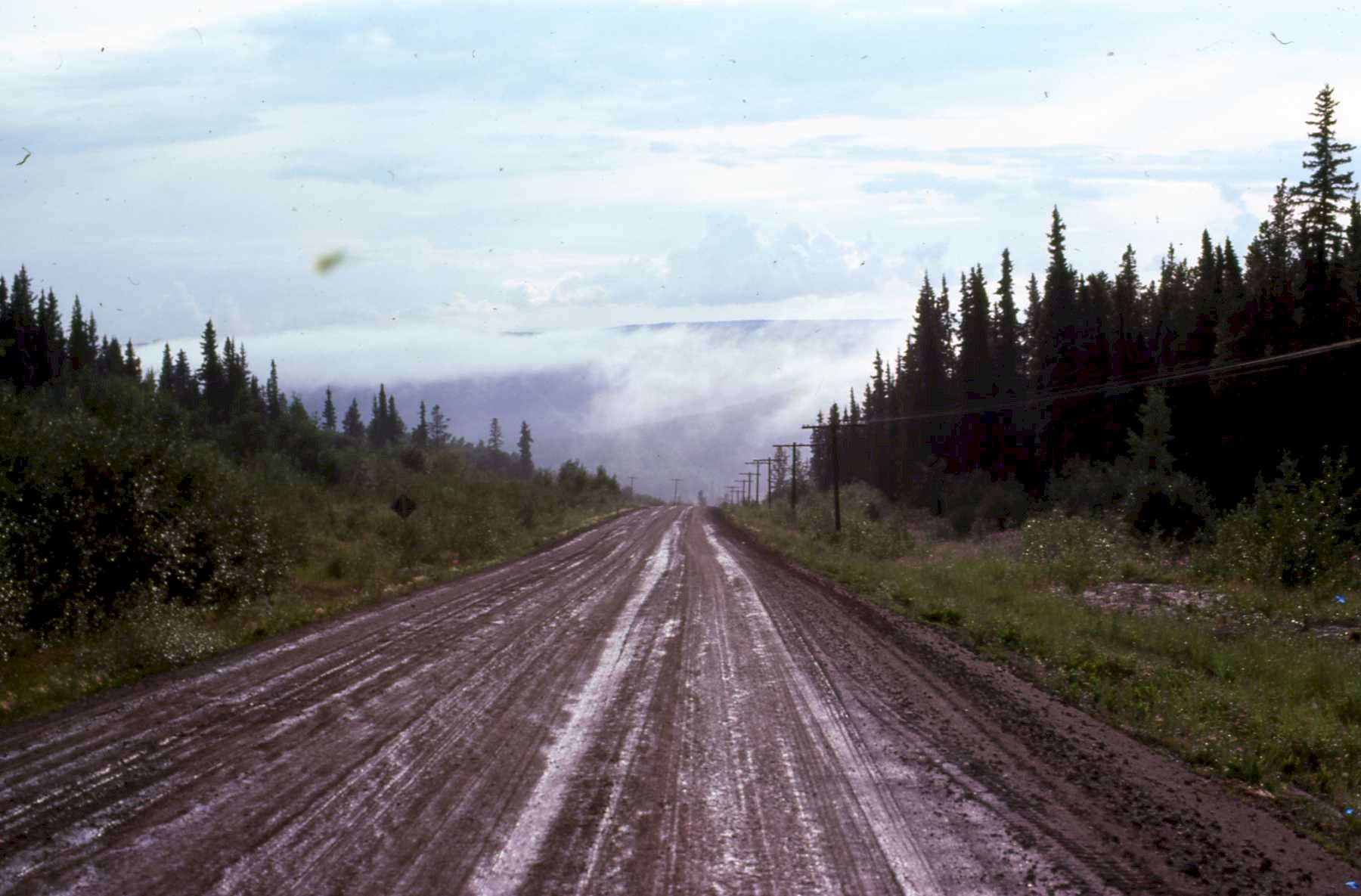
And then when it rained, some places were all mud. This stuff made a real mess of the car. 1975
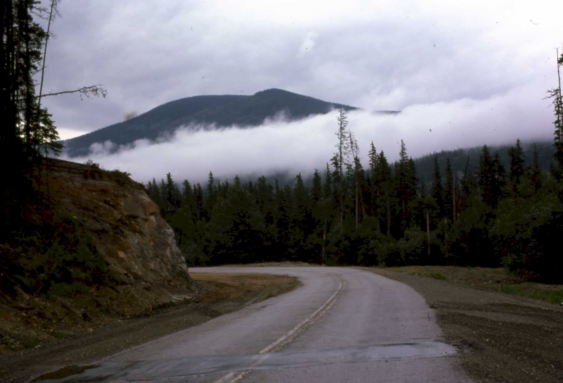
There were short sections of pavement between Dawson Creek and Ft. Nelsen. 1975
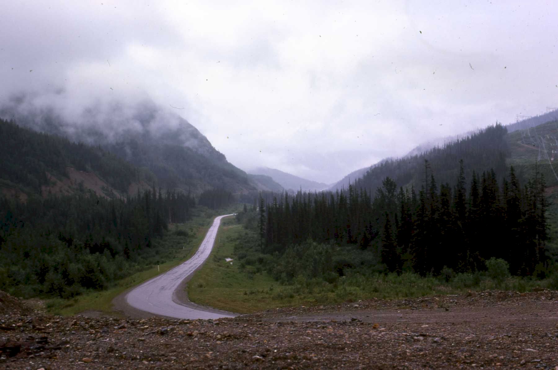
This was a great experience whether in 1975 or 2006. Picture 1975.
You can see how the road has changed in thirty years. It is paved and wide with shoulders The hills are more rolling than jagged here.
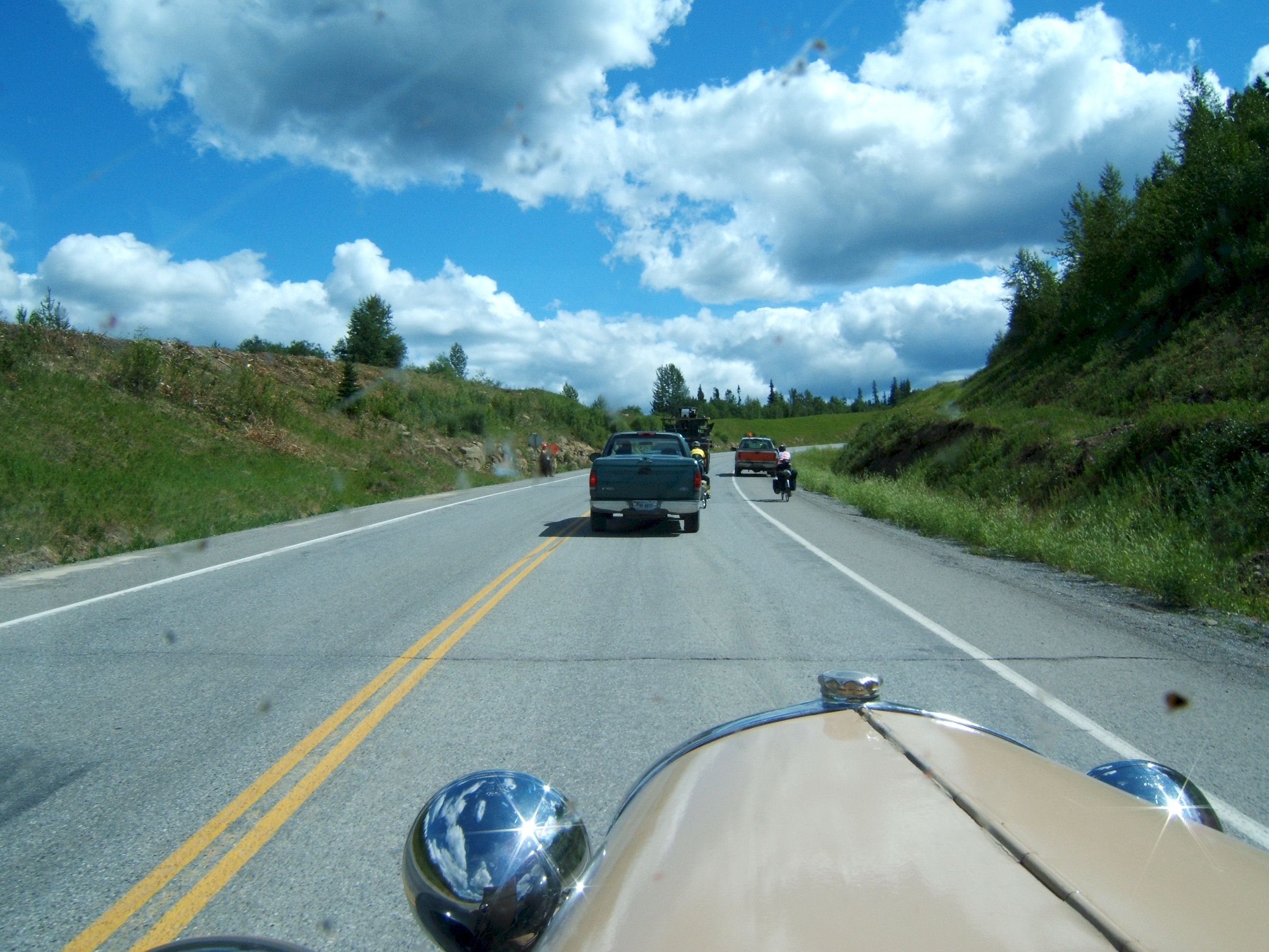
Ahead I have traffic. A bicycle, a truck full of household goods and a pickup truck, I am back in civilization again.
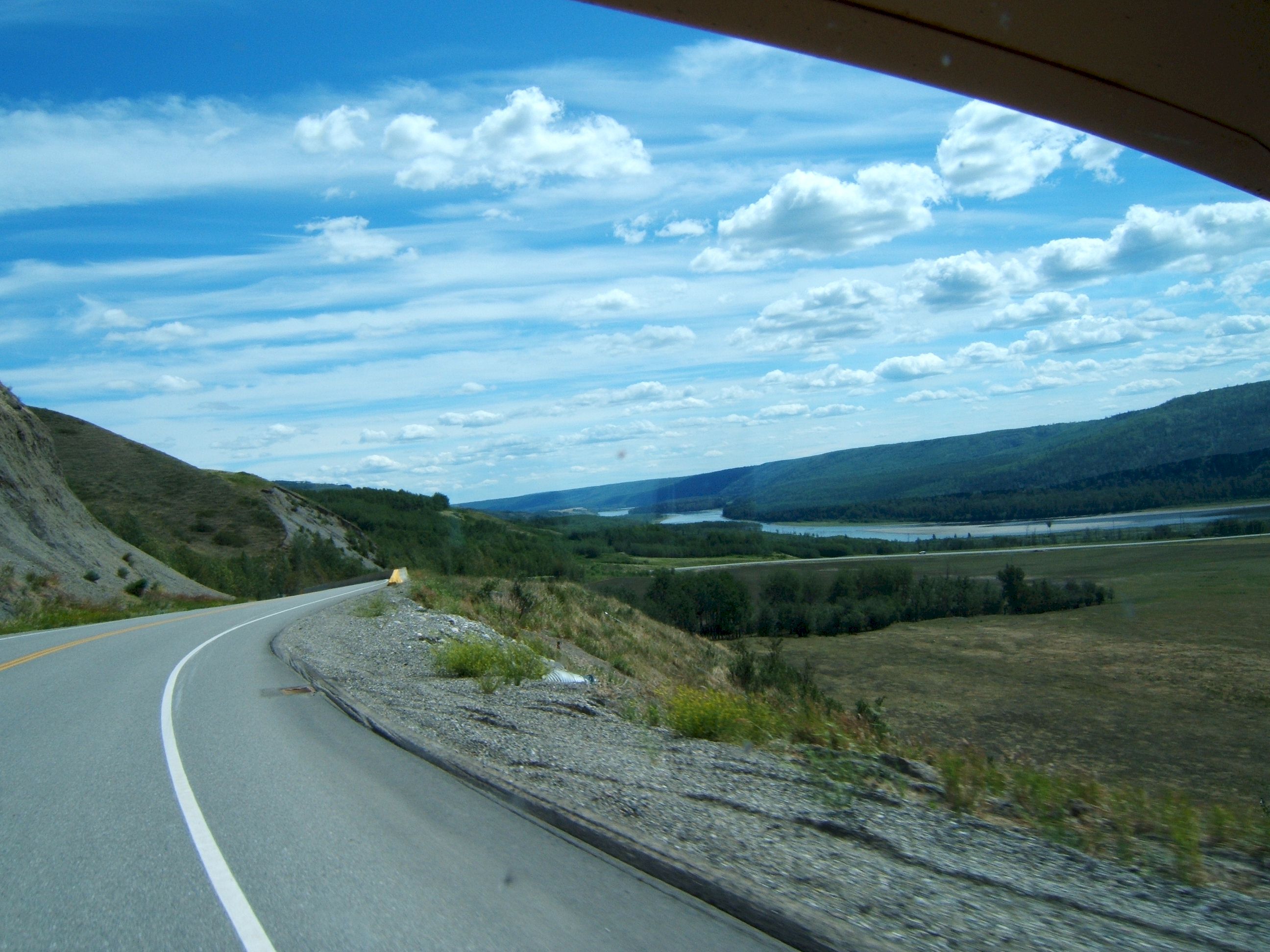
Ho Hum, another lake along the road.
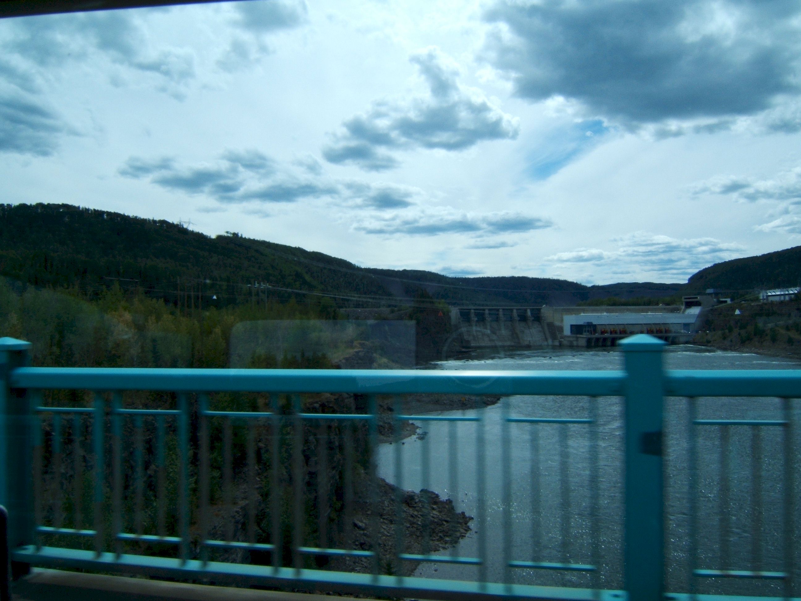
And a dam.
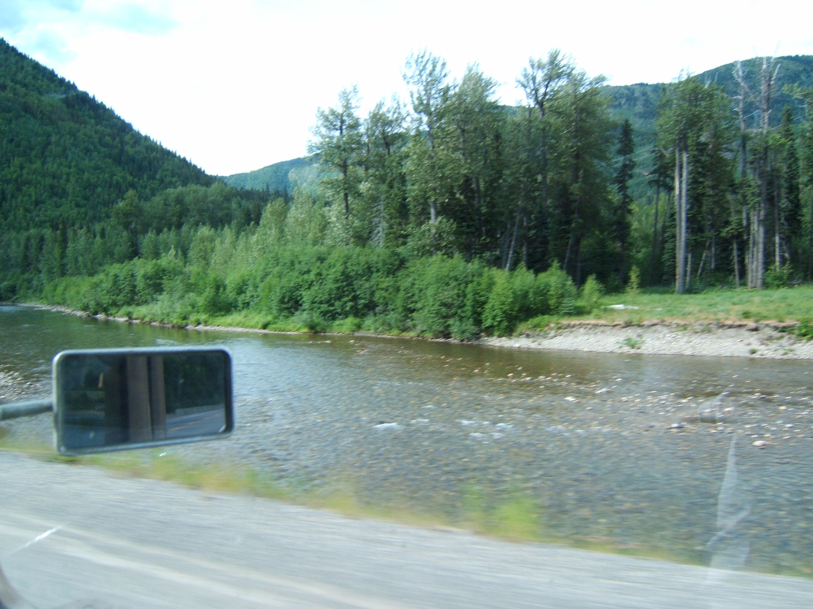
A river.
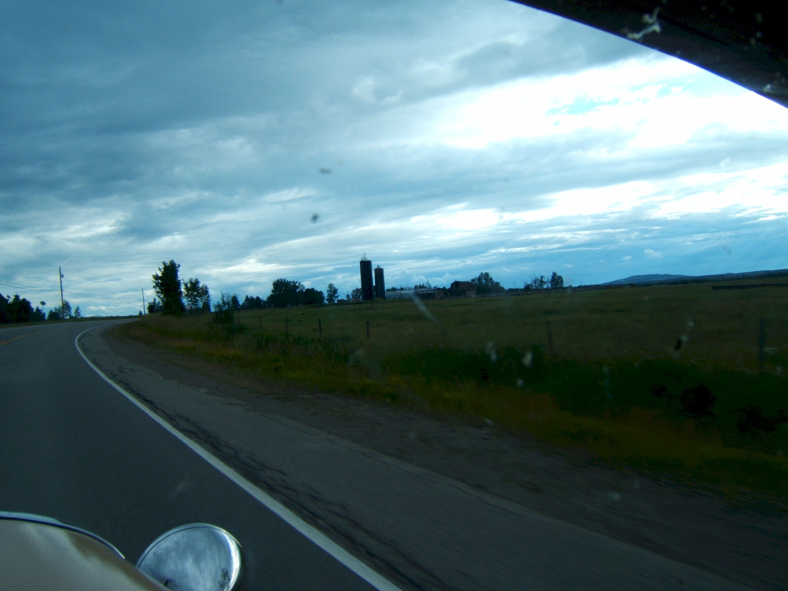
And a farm with a silo.
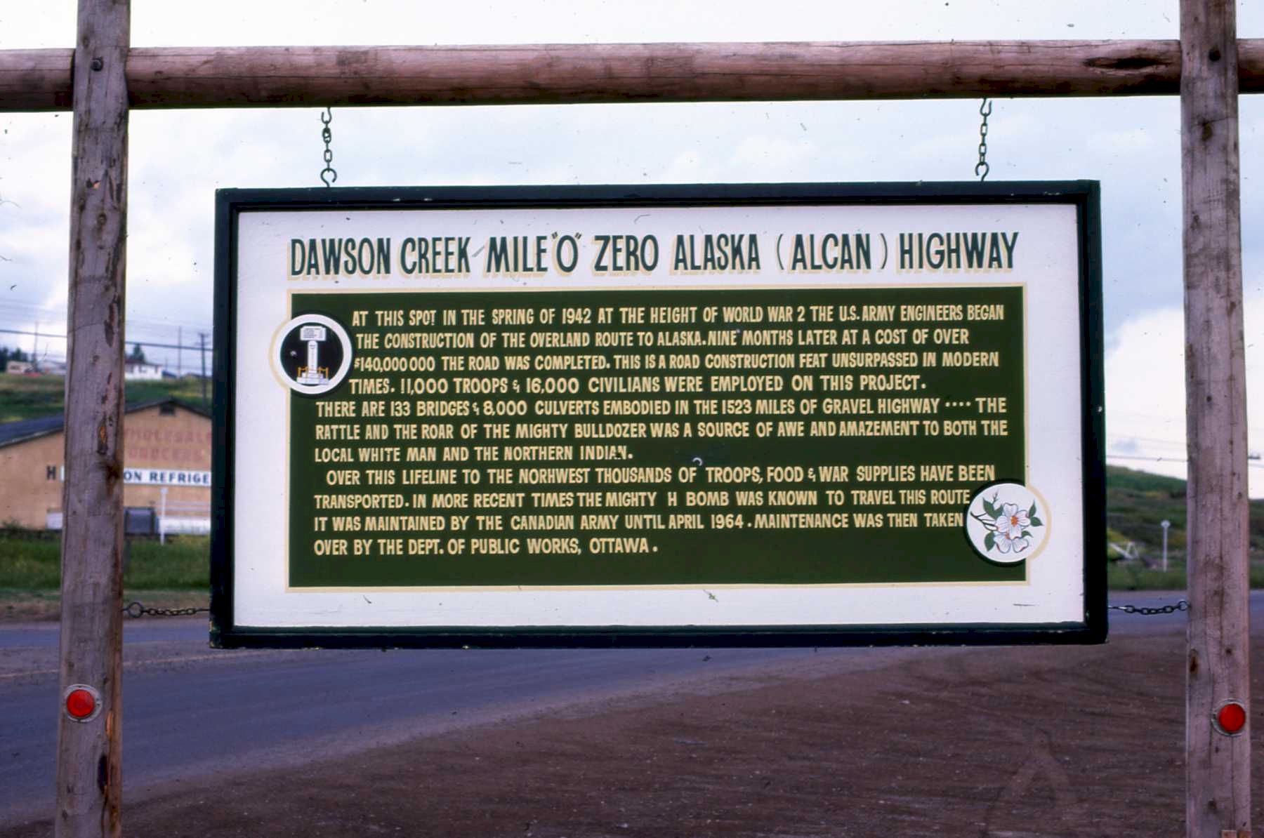
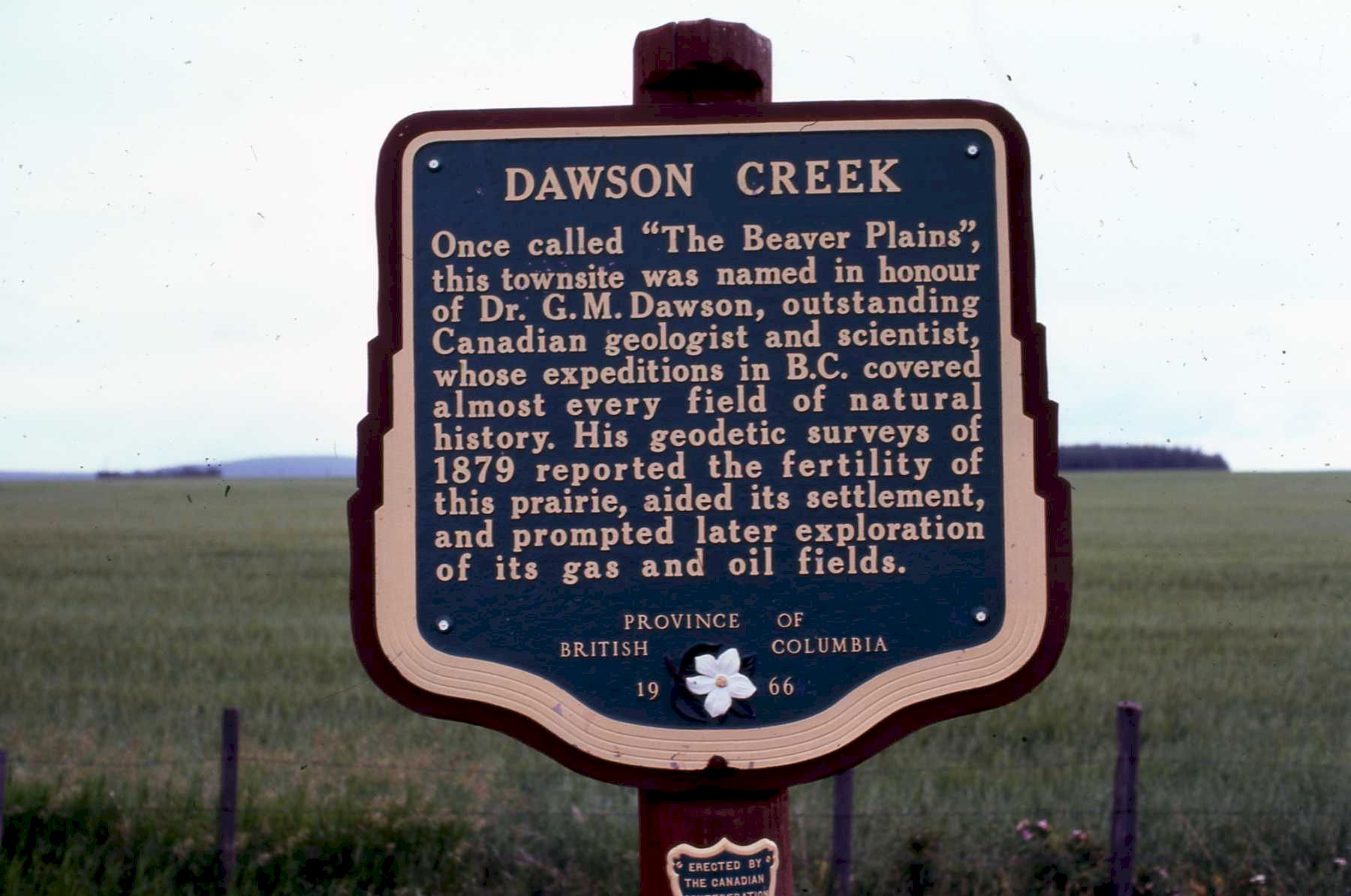
I turned south before Dawson Creek and missed the start of the Alaska Highway. These following pictures are from 1975.
|