|
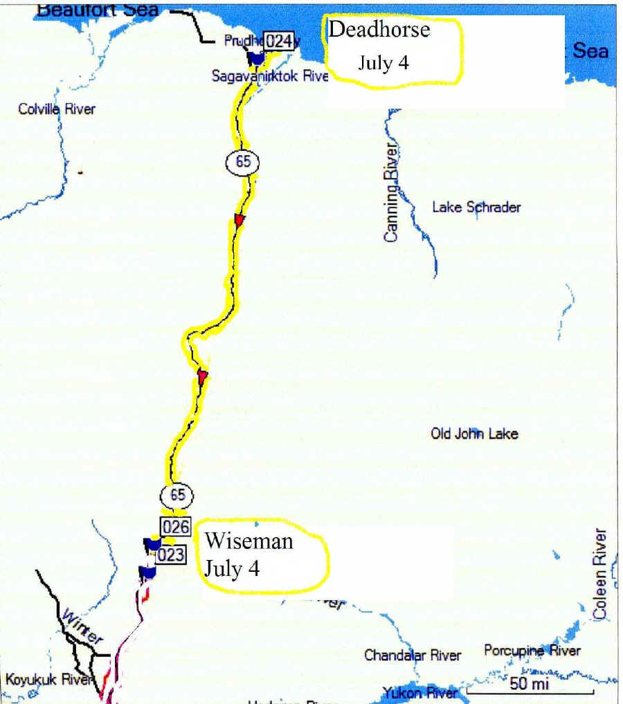
Day 18 Tuesday, July 4 Tuesday July 4, we drove 232 miles from Deadhorse N70 12.118 W148 27.919 to Wiseman N67 24.584 W150 06.534
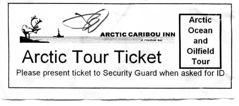
Before we head back south again, we are scheduled to take a bus trip to the Arctic Ocean. We originally signed up for yesterday afternoon's trip but the oil company was moving a drill rig and the road was blocked. The oil company will not let anyone drive to the ocean. We had to pay for a Tour to the ocean through the Prudhoe Bay oil field. They claim it is for security reasons.
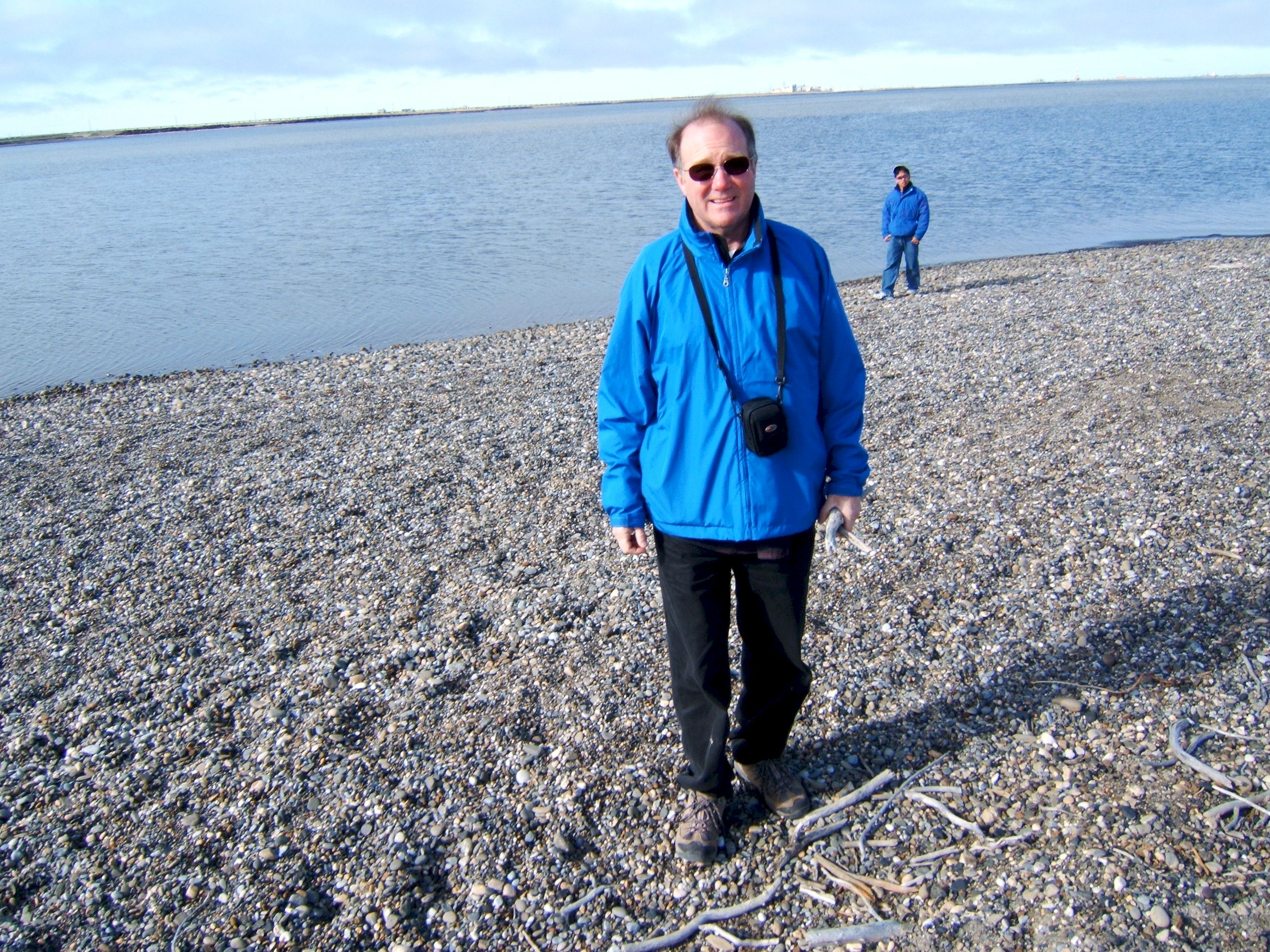
After breakfast we road in a bus to see the Arctic ocean. I thought the weather was sort of cold.
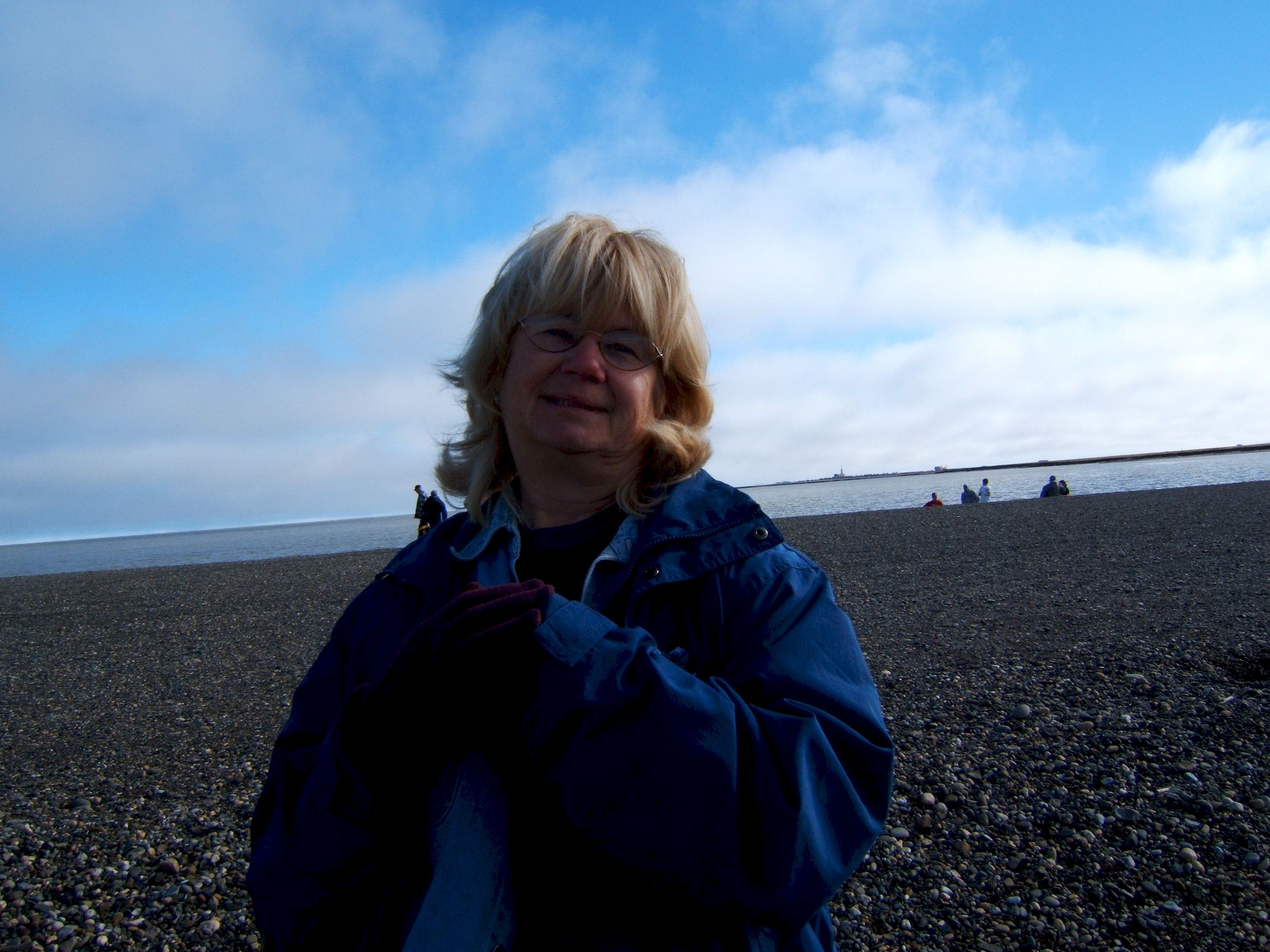
Patty thought the weather was cold, and was wearing gloves. We picked up some souvenir rocks and drift wood.
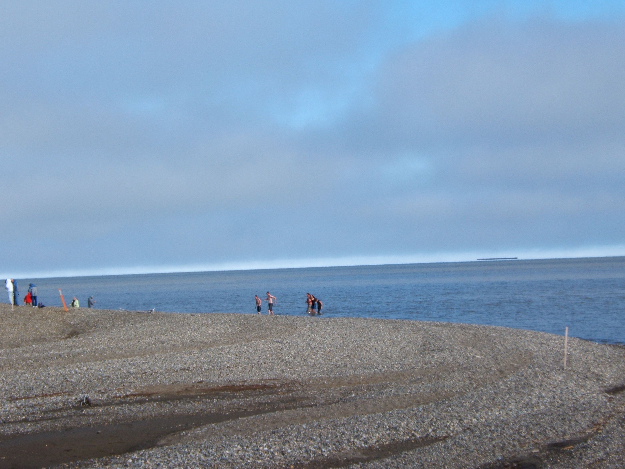
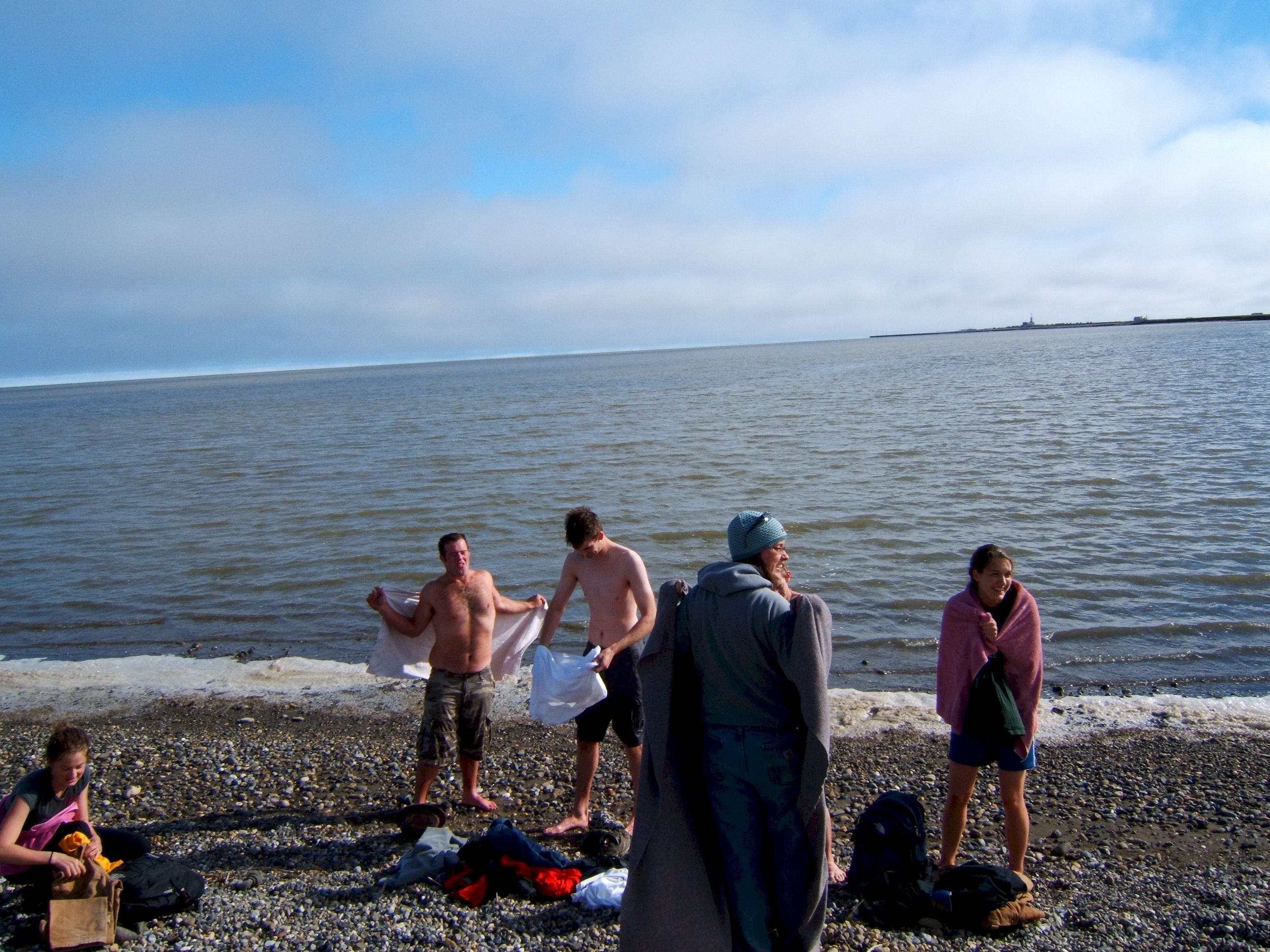
Then off in the distance we saw some of our fellow tour group was in the water.
If you swim in the Arctic Ocean, you can become a member of the polar bear club. Neither Patty or I jumped in.
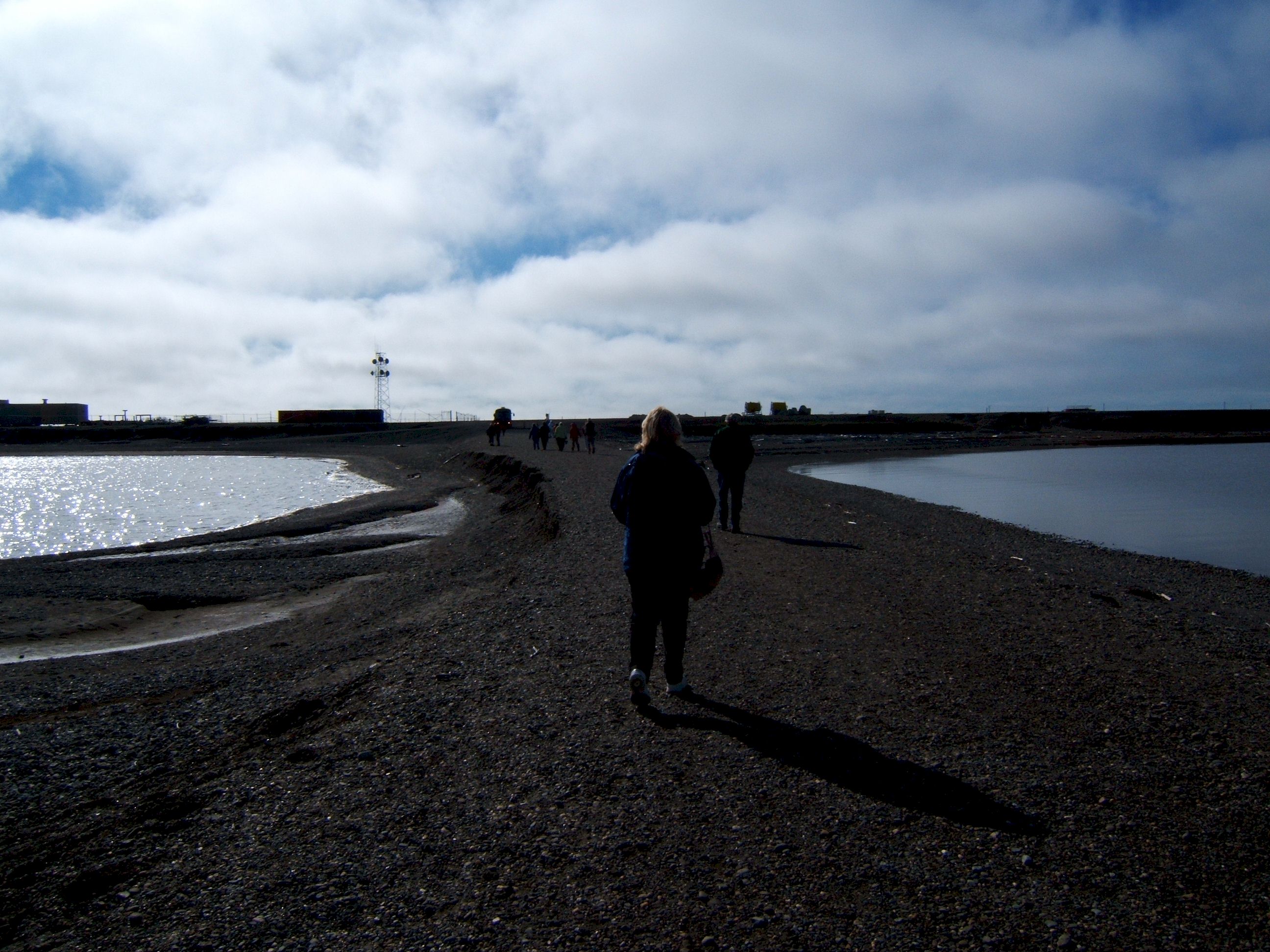
Walking back to the bus you can see Patty's shadow. The sun is low and in the southeast, it is still morning.
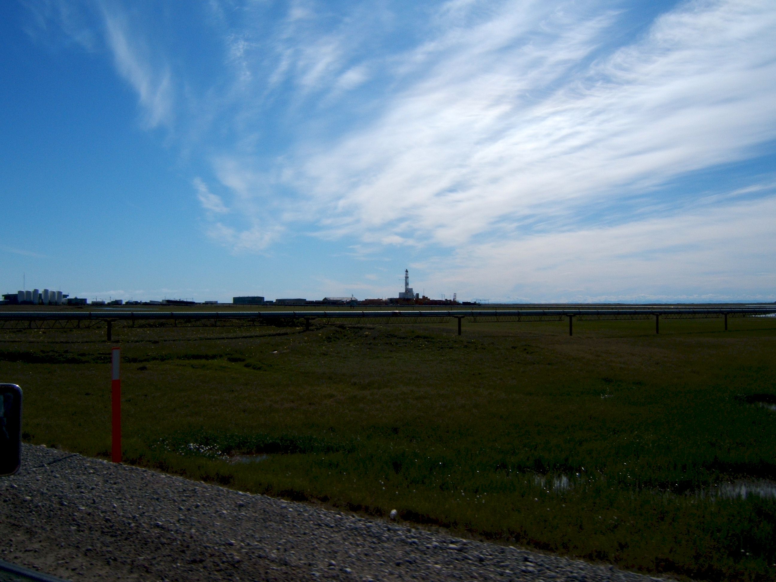
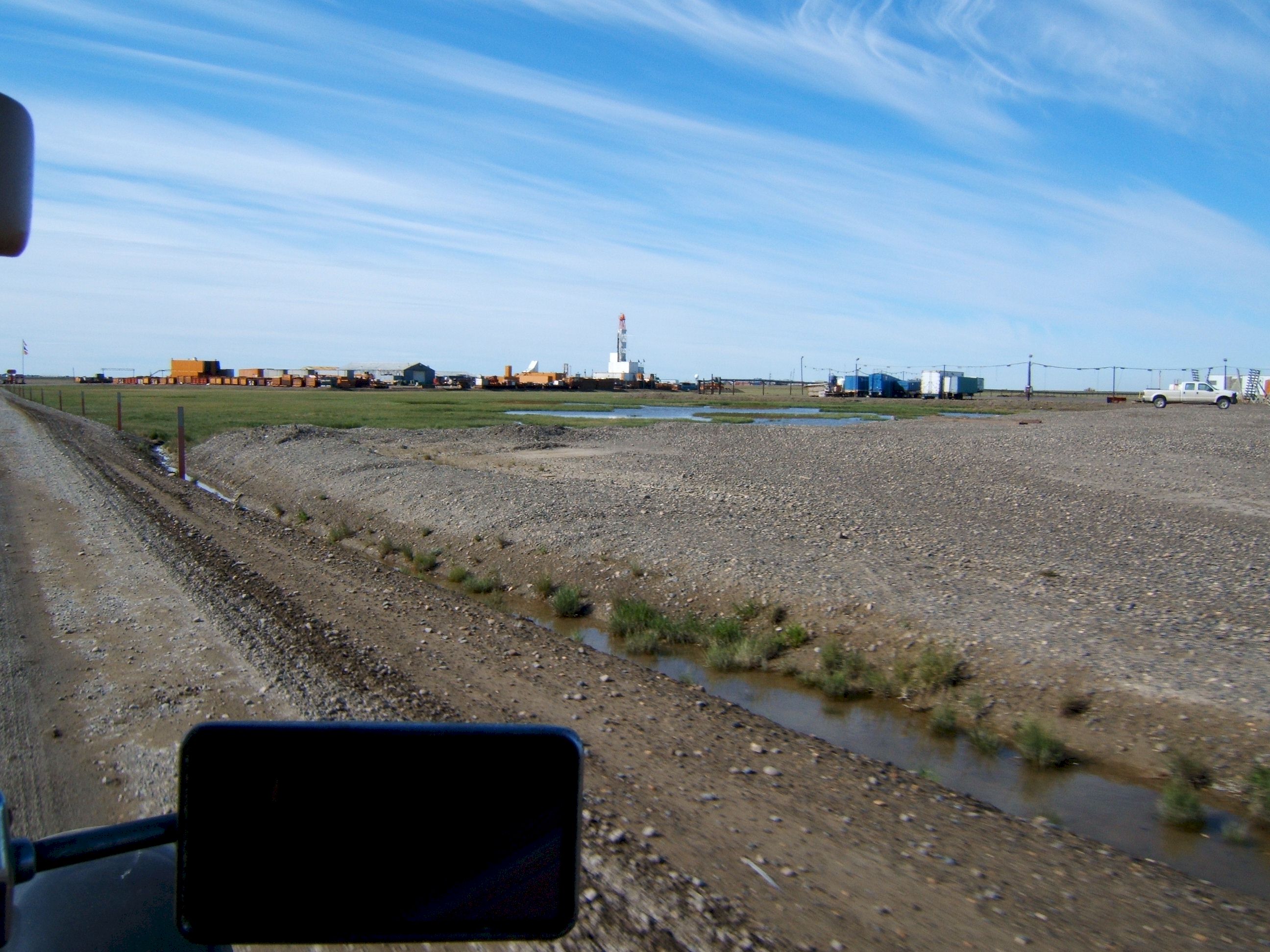
As we drove to the general store we could see a drill rig working the area.
A closer view of the rig.
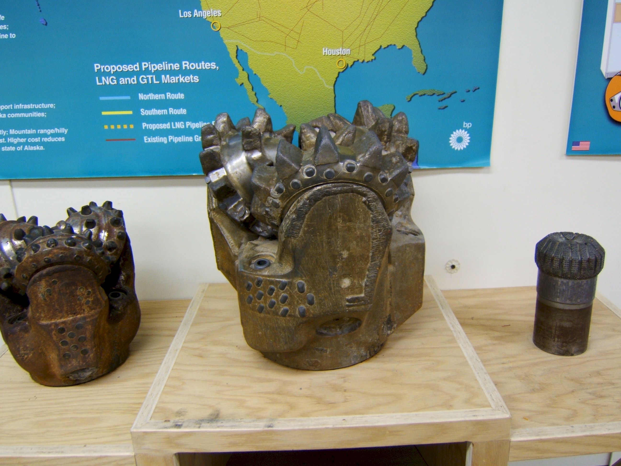
This is a drill bit used to drill for oil, it was Howard Hughes Company that first made this style bit.
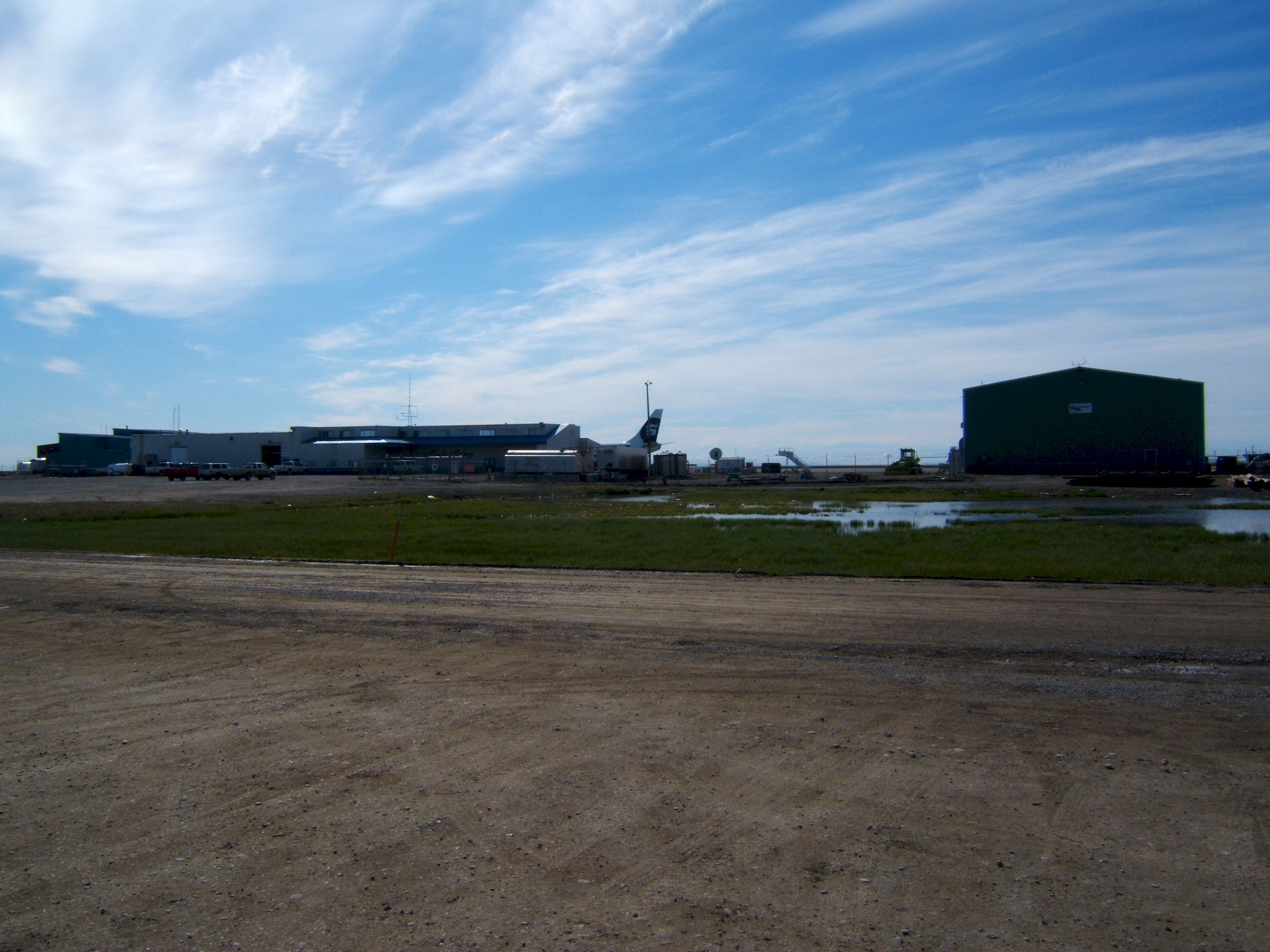
This is the Deadhorse airport.
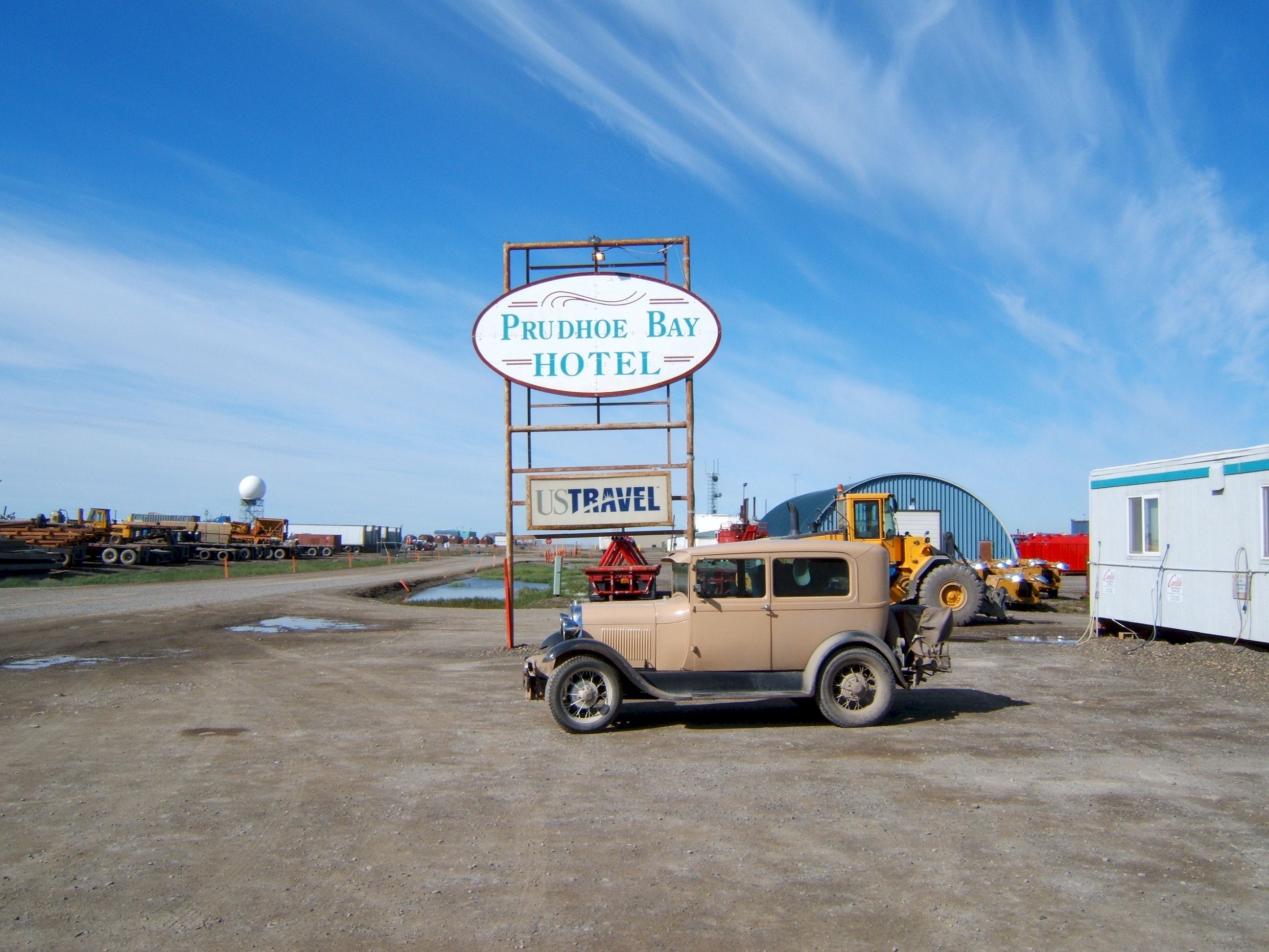
The Prudhoe Bay Hotel is where we should have stayed it is nice with full amenities. We stayed at the other Hotel because that is where the tour bus left from.
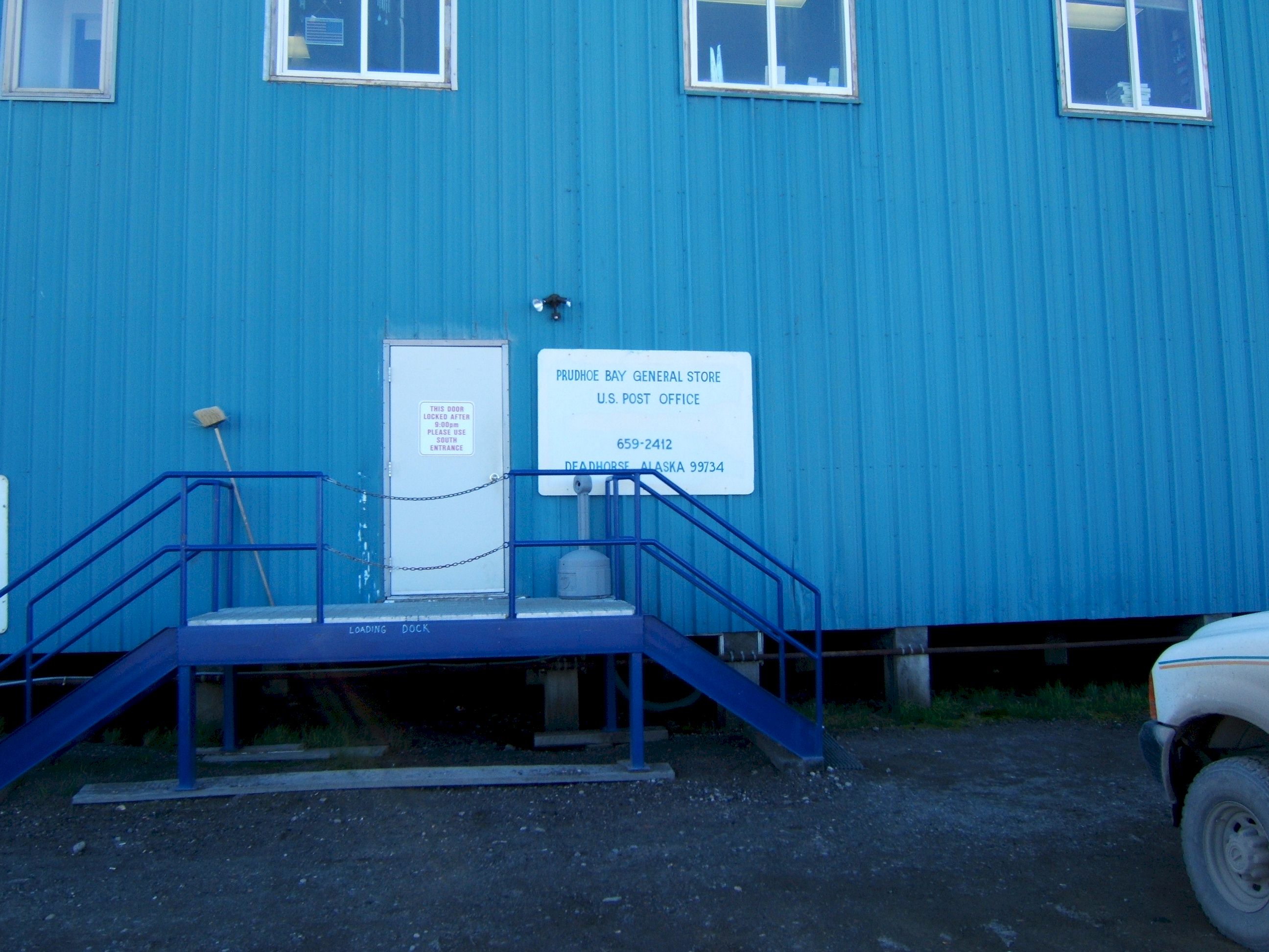
This is the General Store. They had a little of every thing.
The Post Office was in the same building, but was closed for the fourth of July.
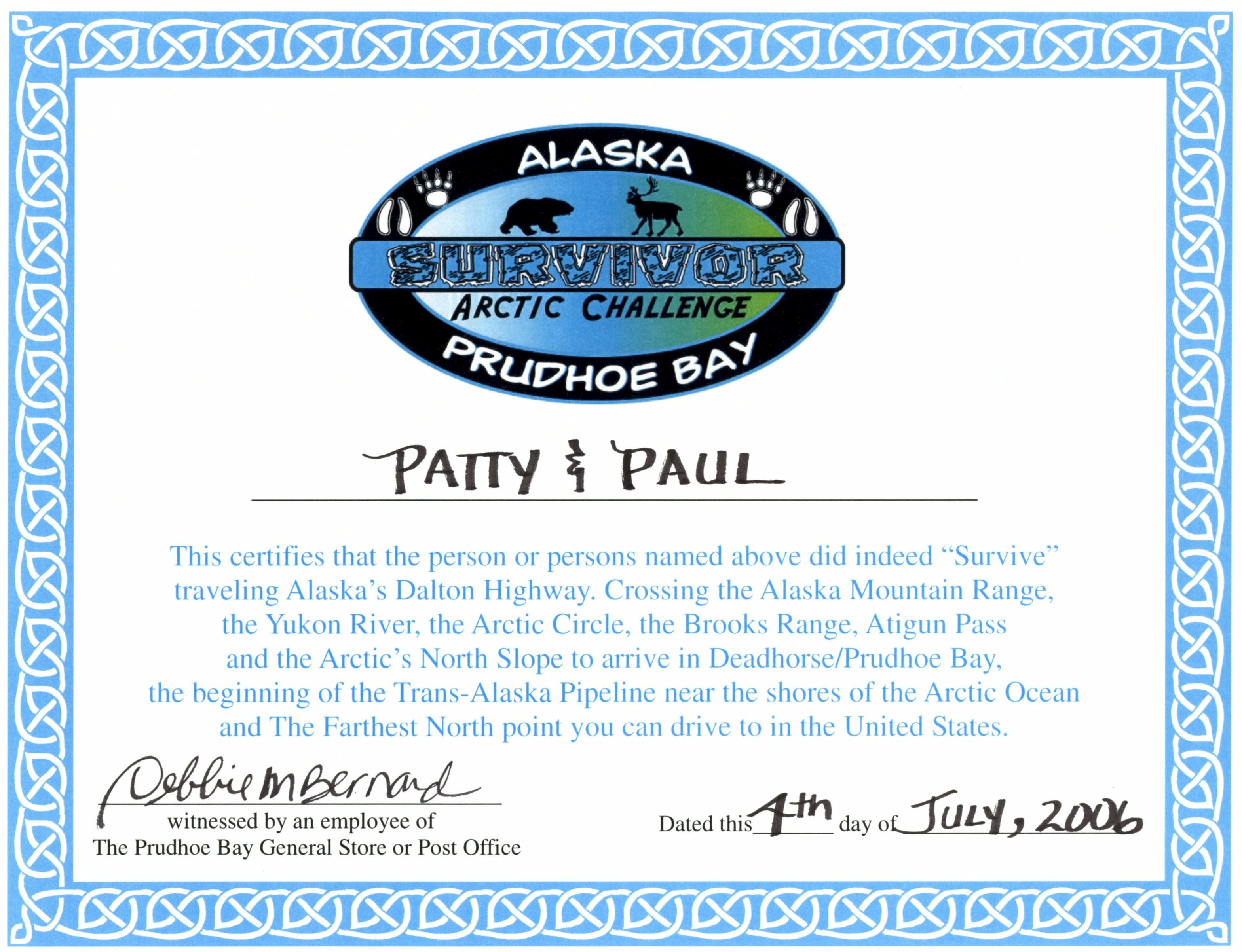
We got this certificate at the General Store.
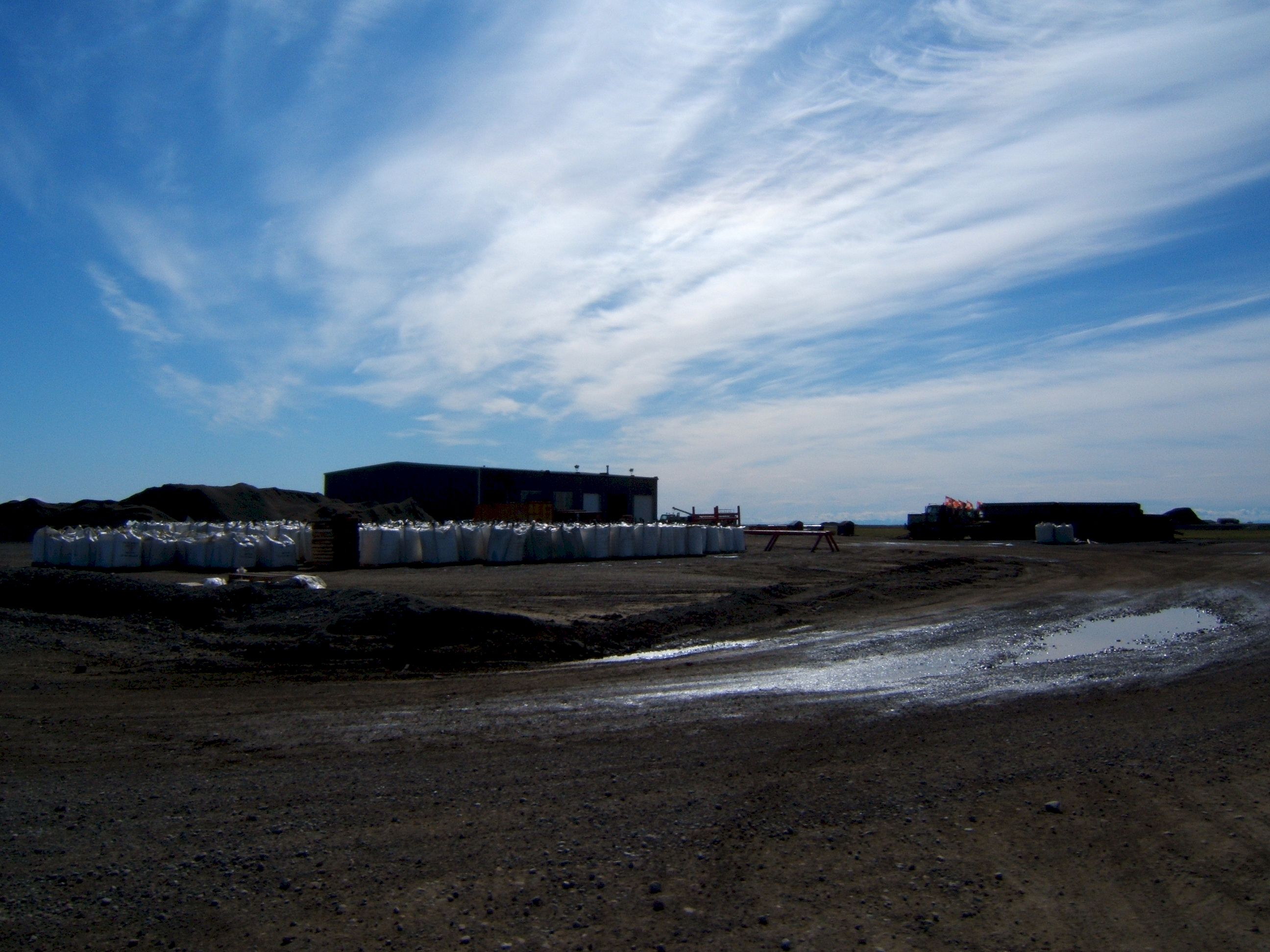
It is expensive to haul items into and out of Prudhoe, so most everything stays here, and is somehow used.
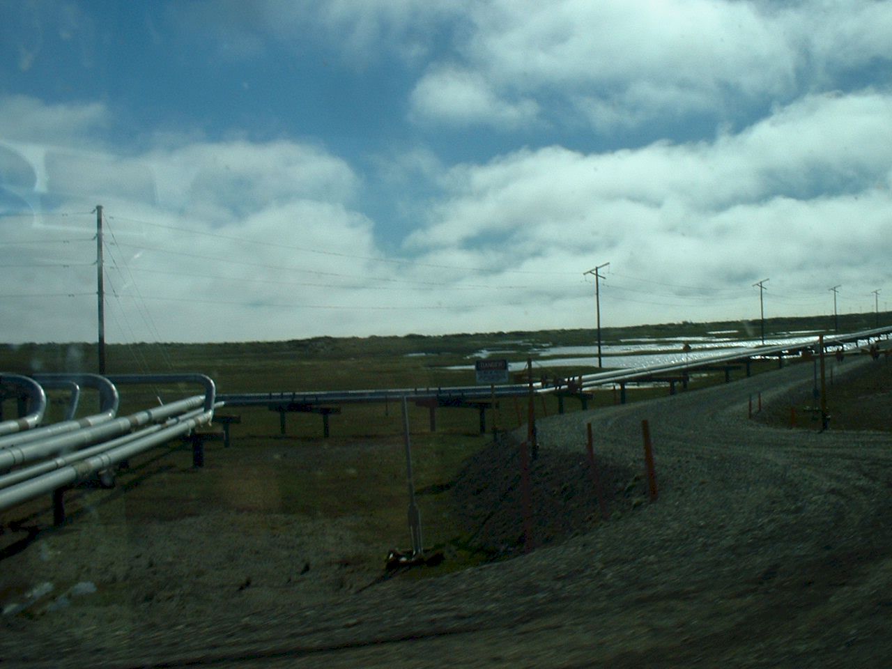
These are collector pipes from oil wells and go to a main pipe to be pumped south.
More buildings and bags of the chemical they put on the road to keep the dust down.
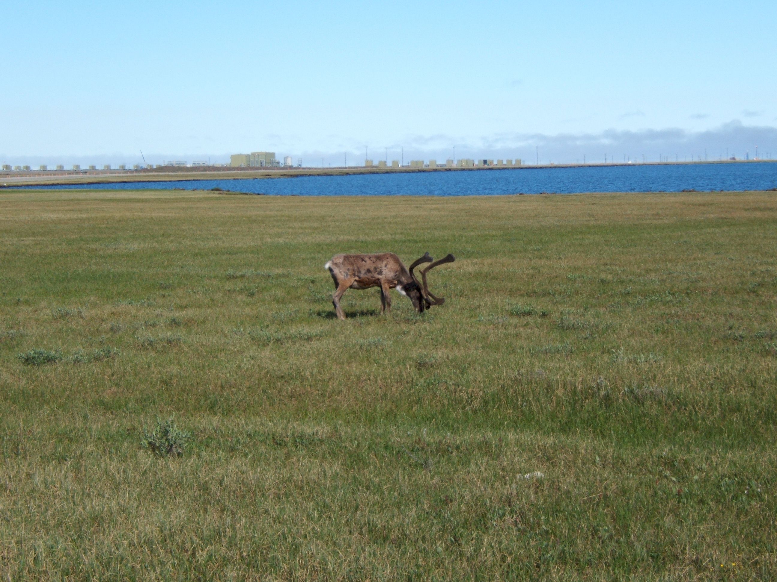
This Caribou was grazing between the road and the lake. The fact that people and machines were working in the area did not see to disturb him.
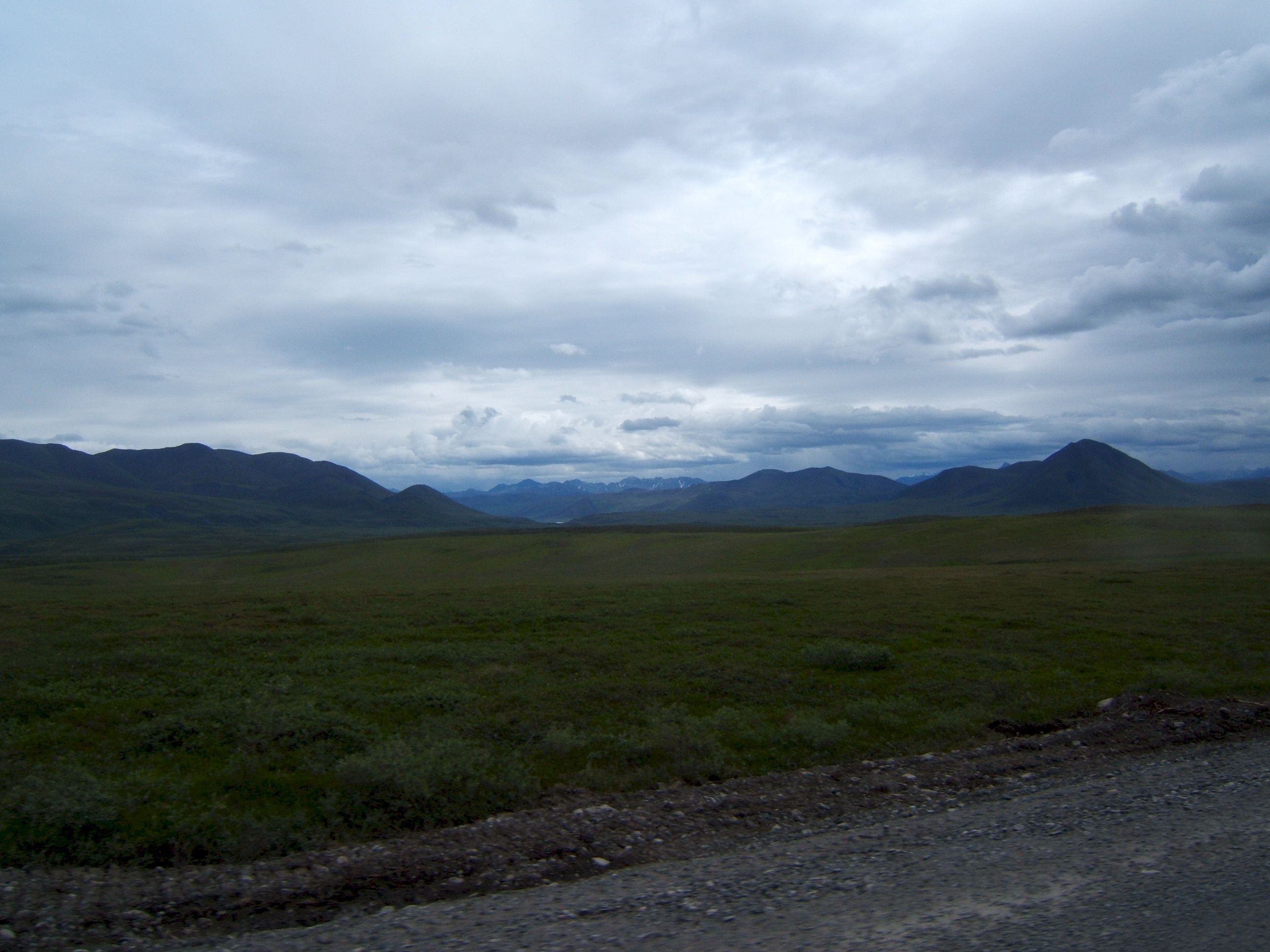
As we were leaving Prudhoe we saw this example of melting permafrost and Tundra. The beautiful green hills are almost impassable in summer due to this melting.
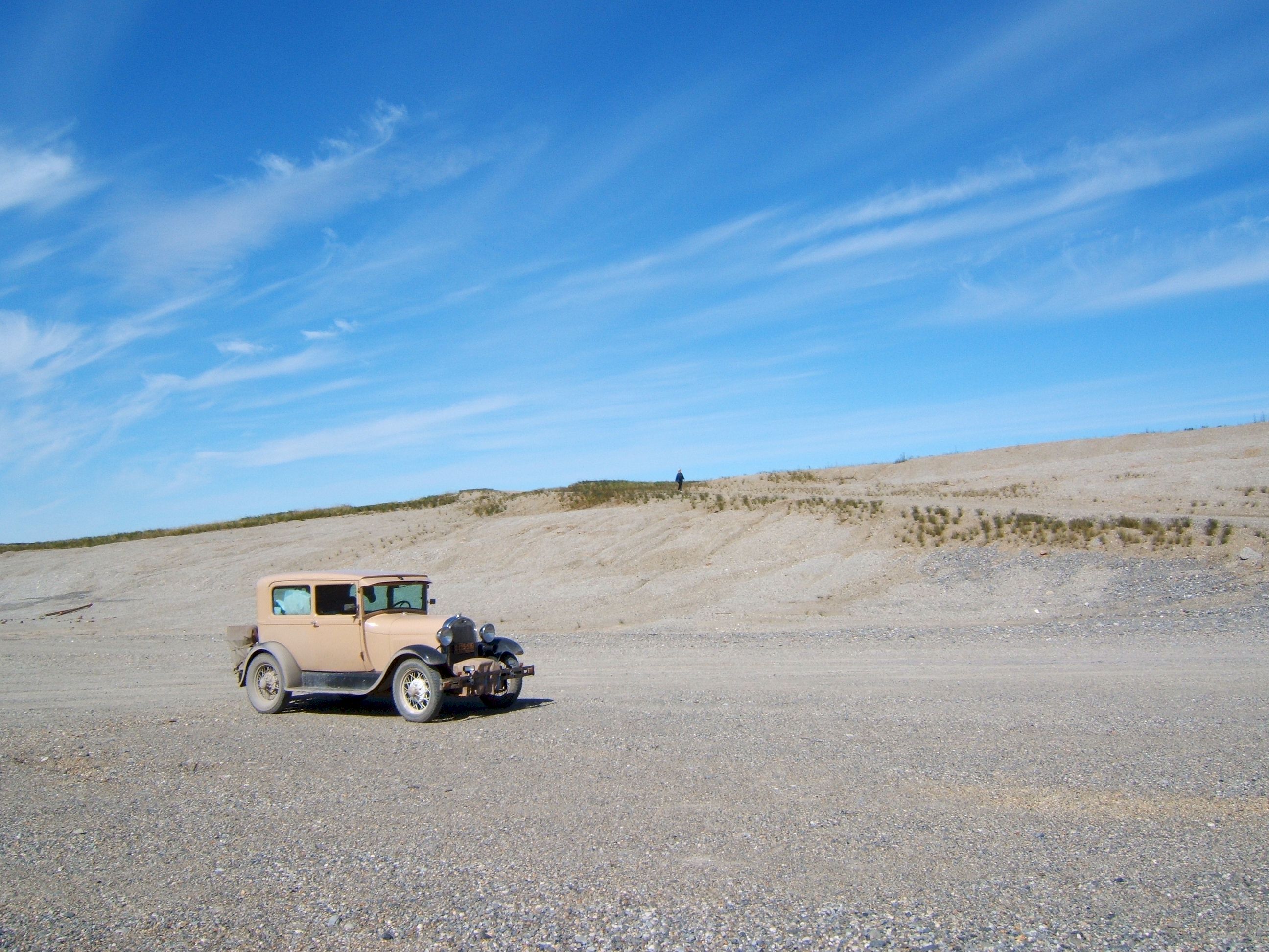
This wind swept sand dune is less than one hundred miles from the Arctic Ocean.
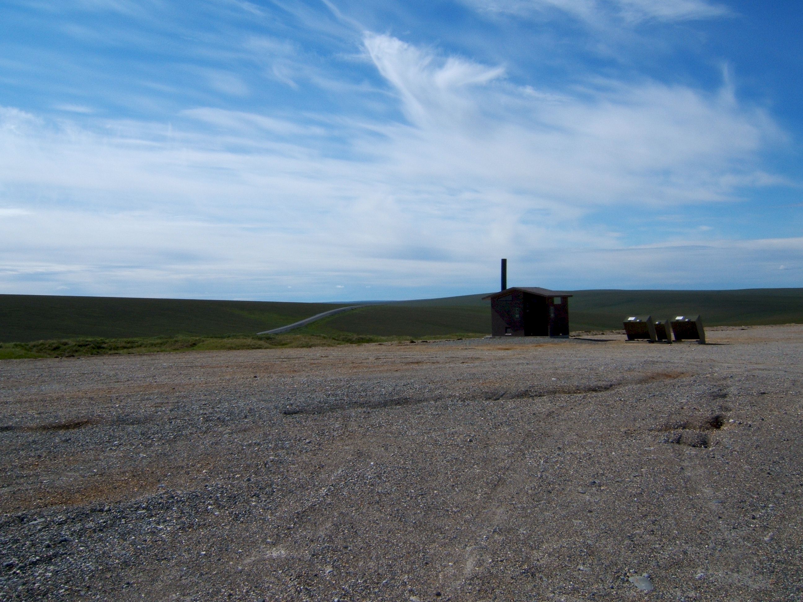
There are several rest stops with toilets along the route. What you see is what you get, no convenience store here.
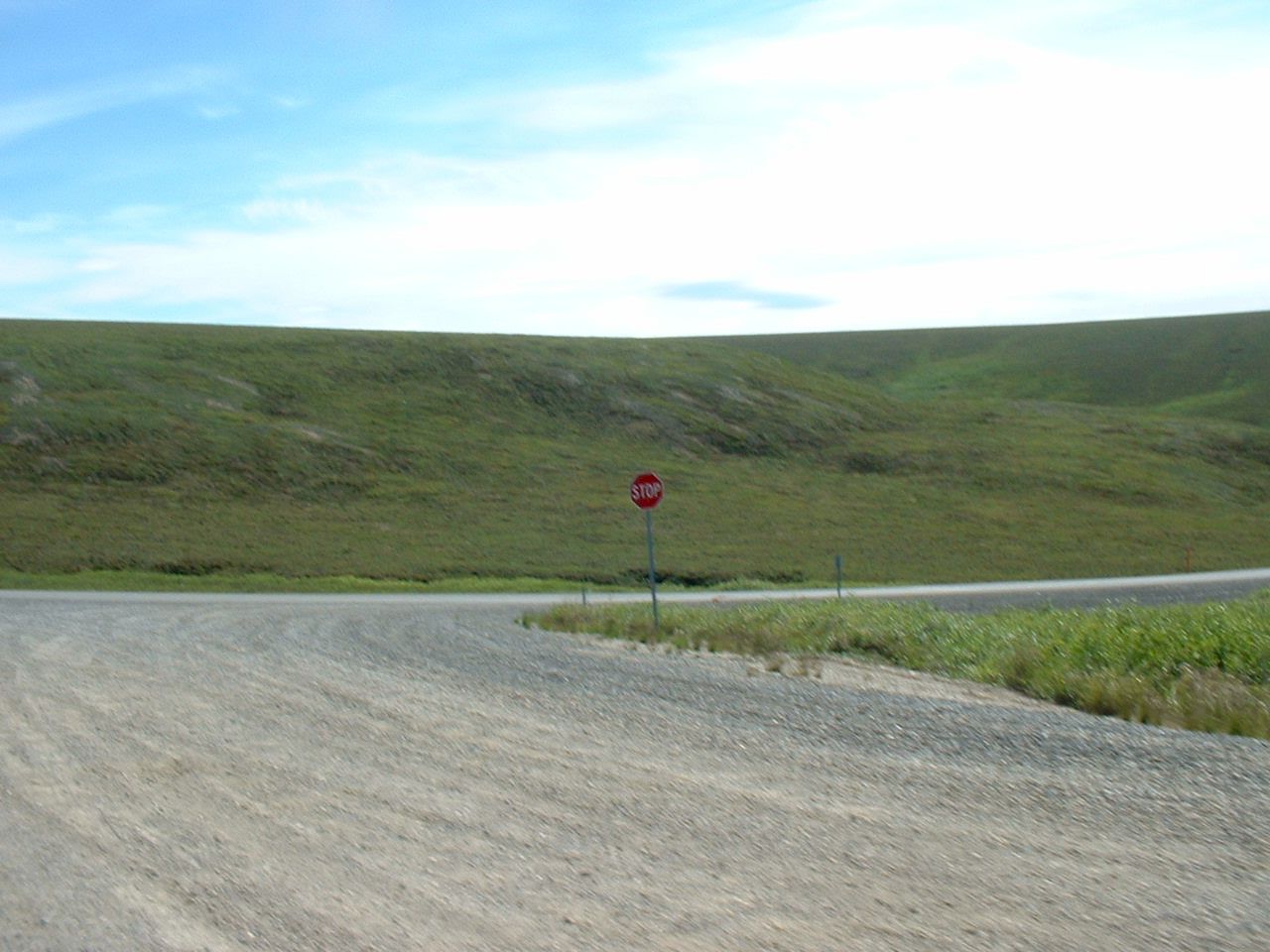
As we left the rest stop I came upon this stop sign, seems funny as there is only one car or truck each fifteen minutes. But I guess if there is no stop sign someone will pull out into on coming traffic. And it could take a long time for help to arrive.
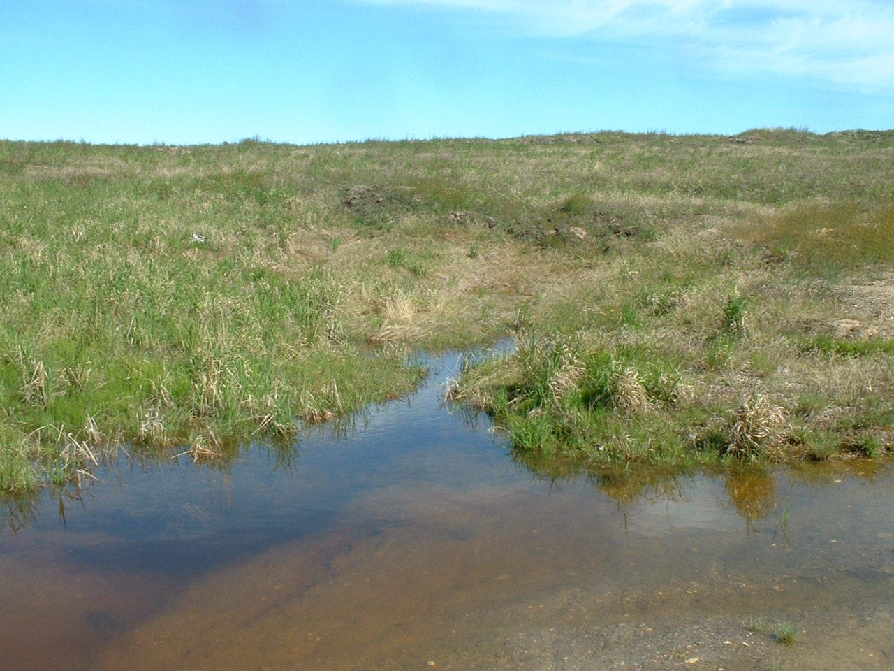
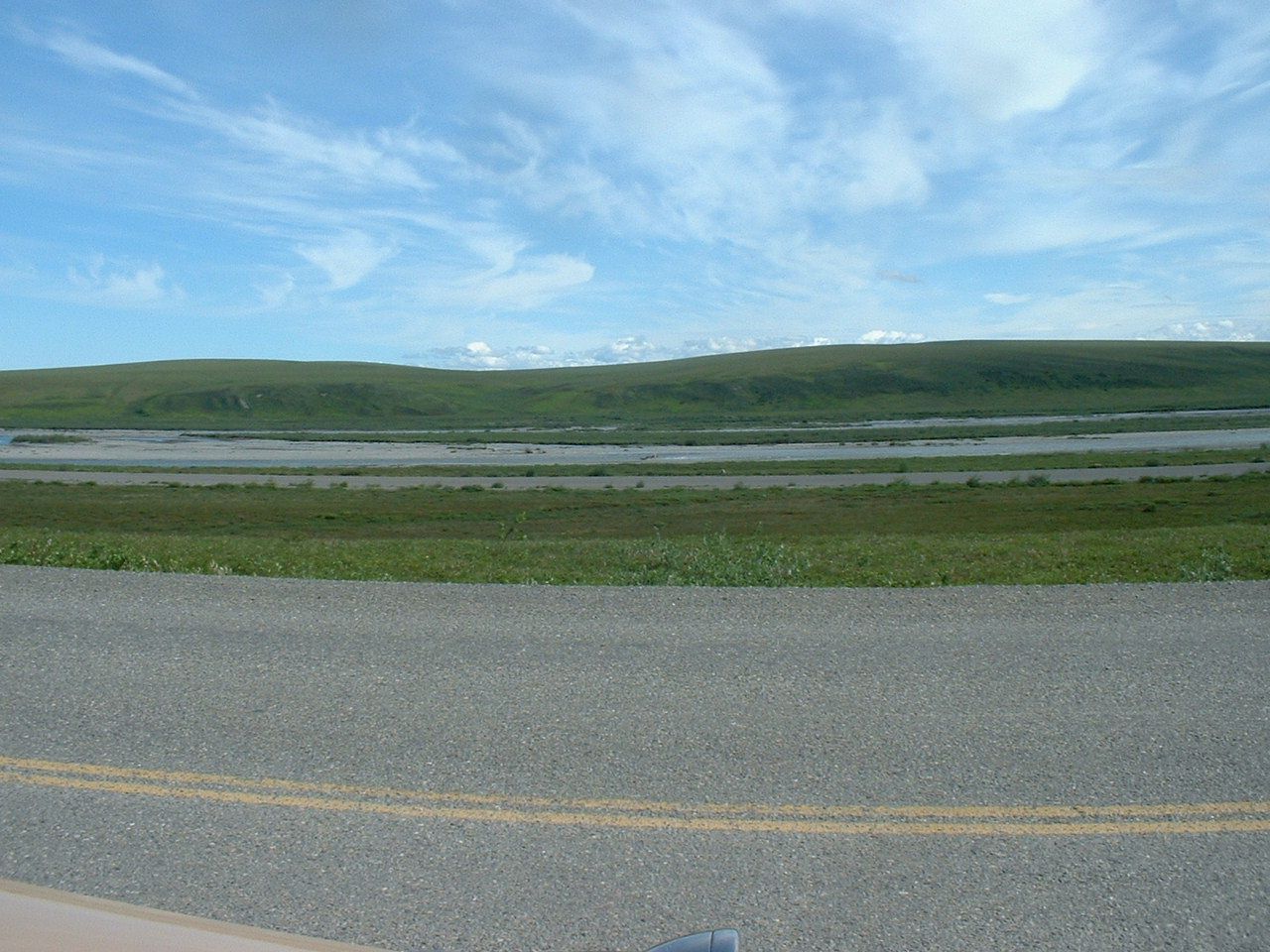
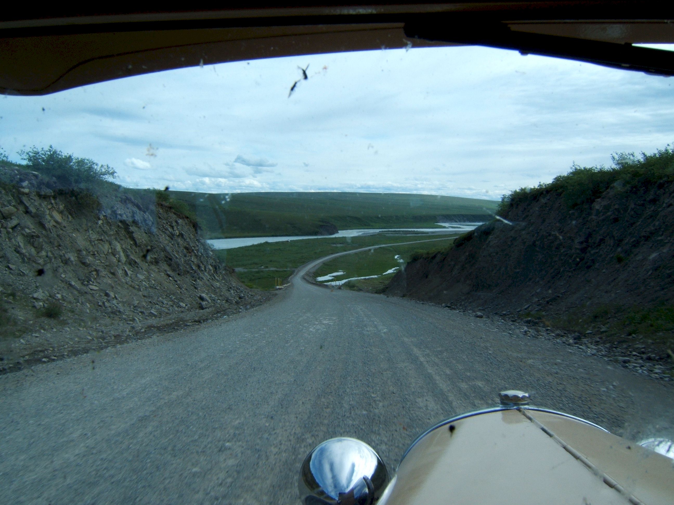
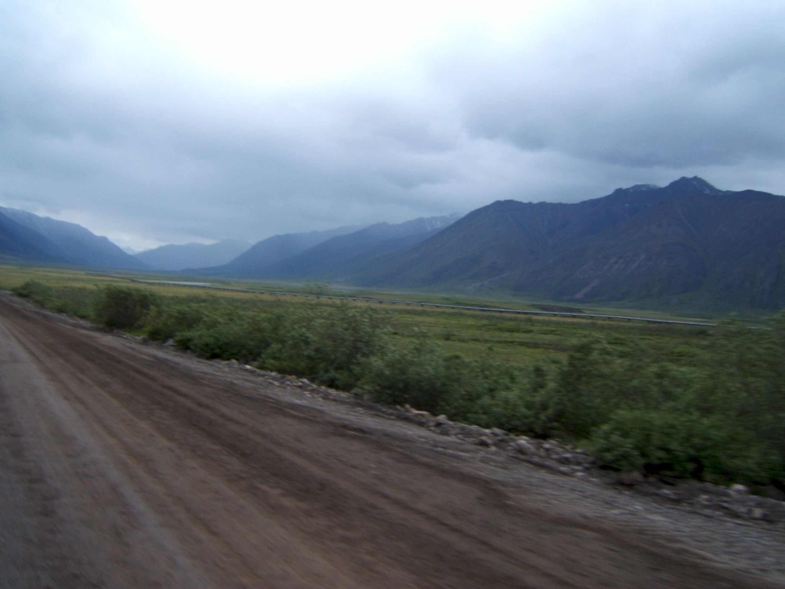
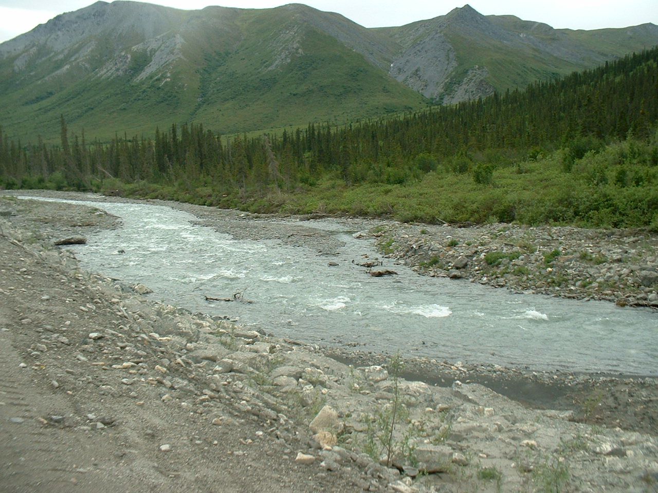
The pavement is good here. Across the road is a small river.
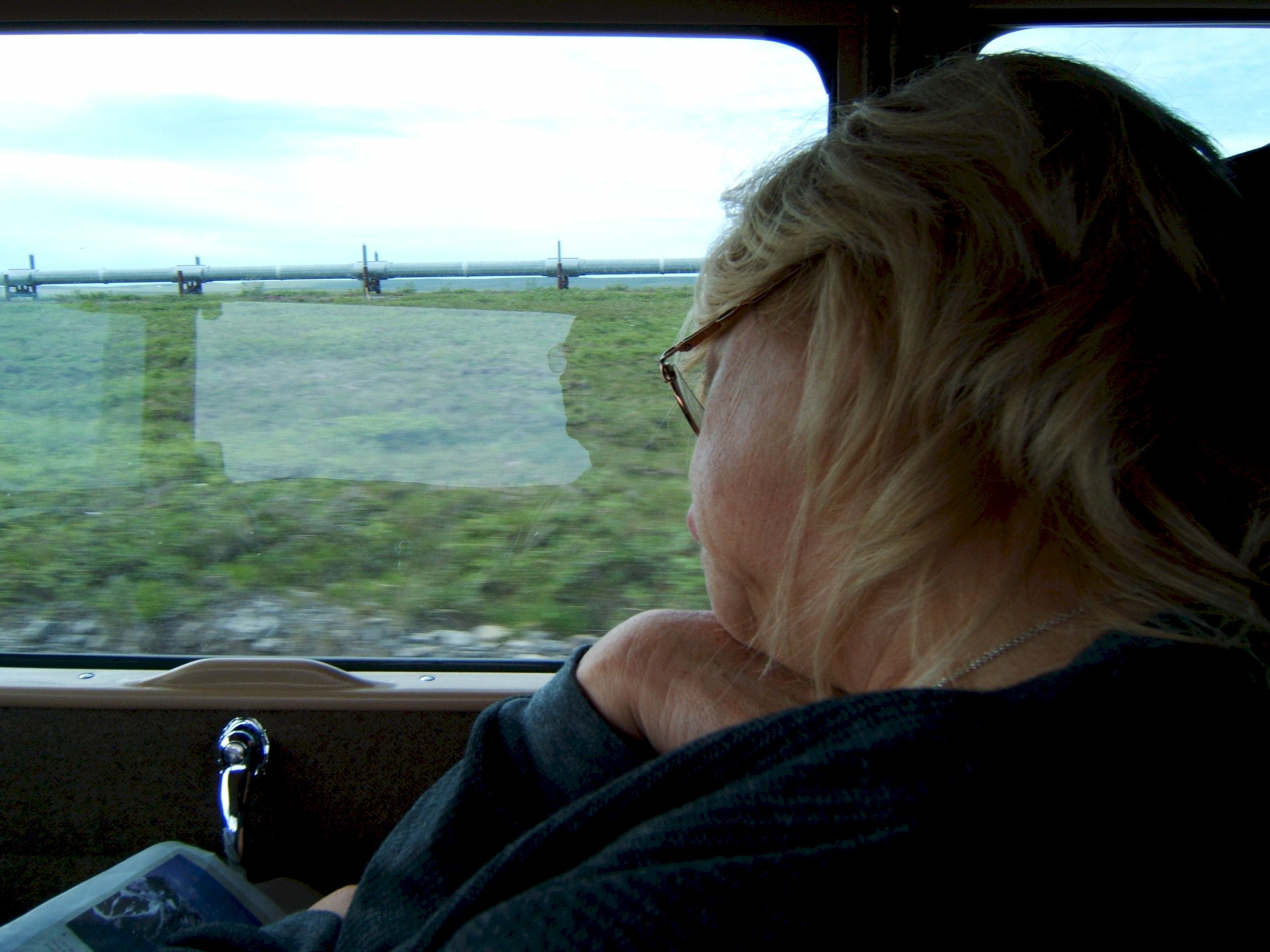
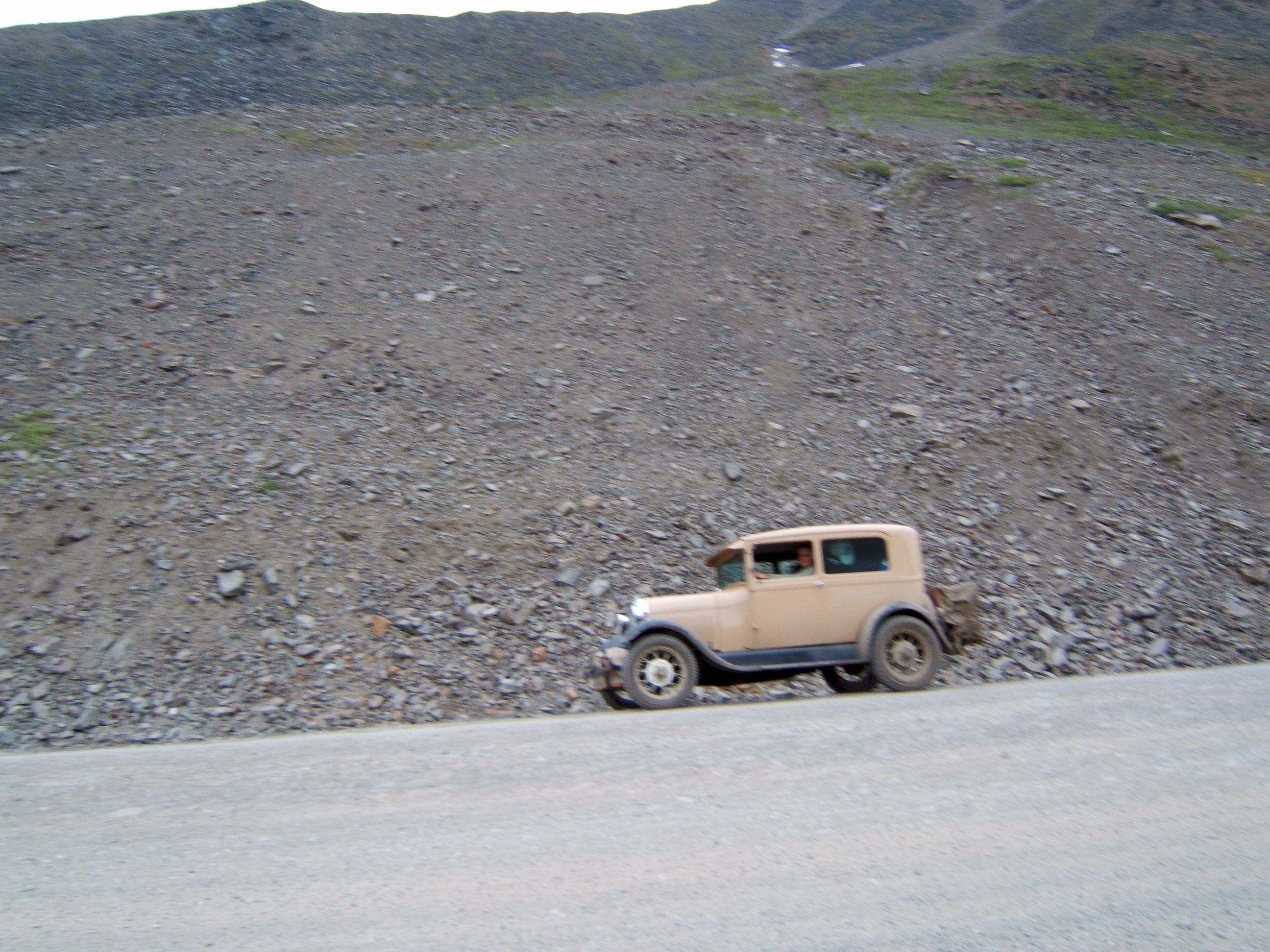
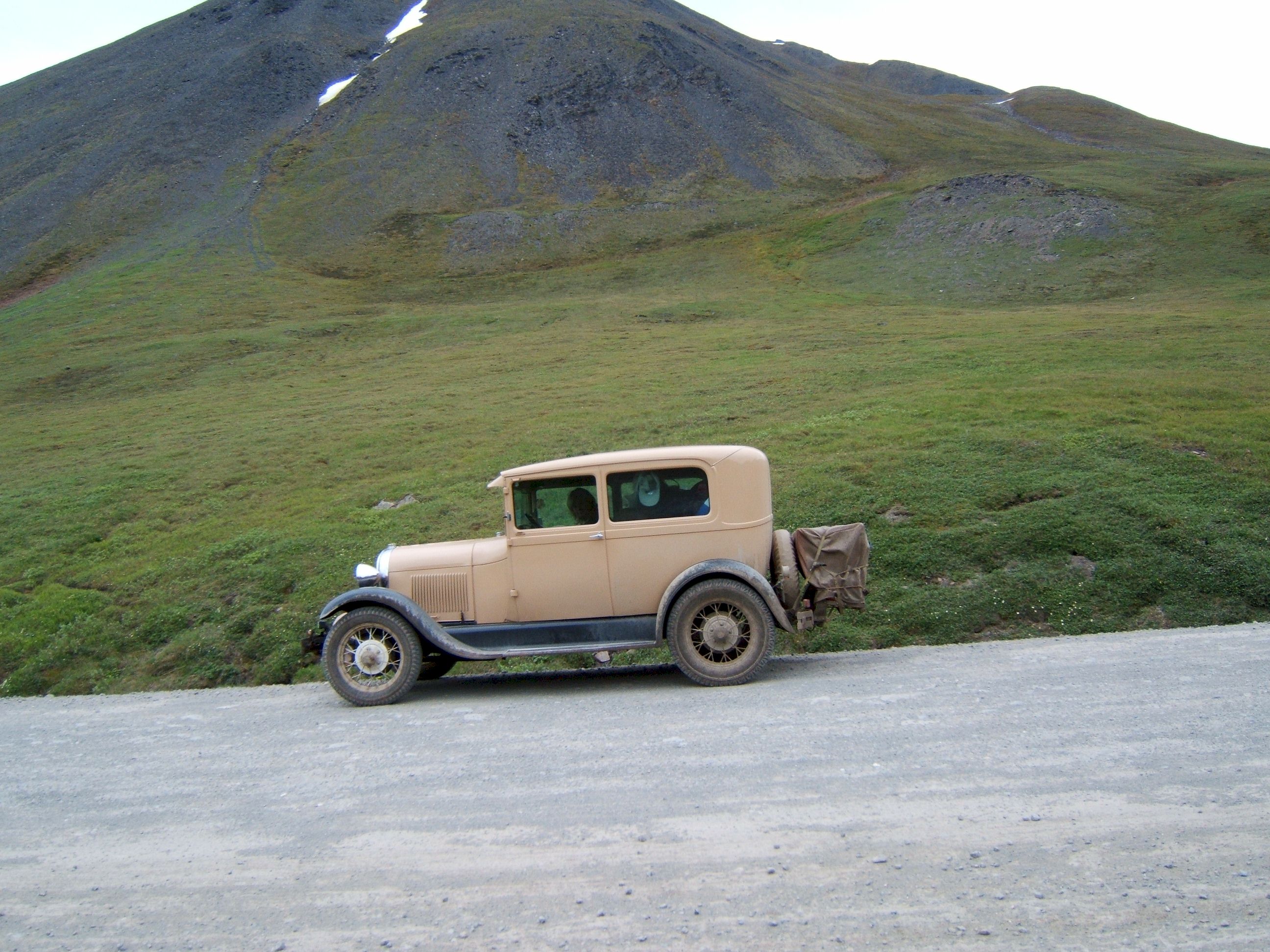
I drove four thousand miles and this is how Patty is enjoying her trip. I don't blame her, we have not had good rest. Every day is get up early and hurry so we can drive some more.
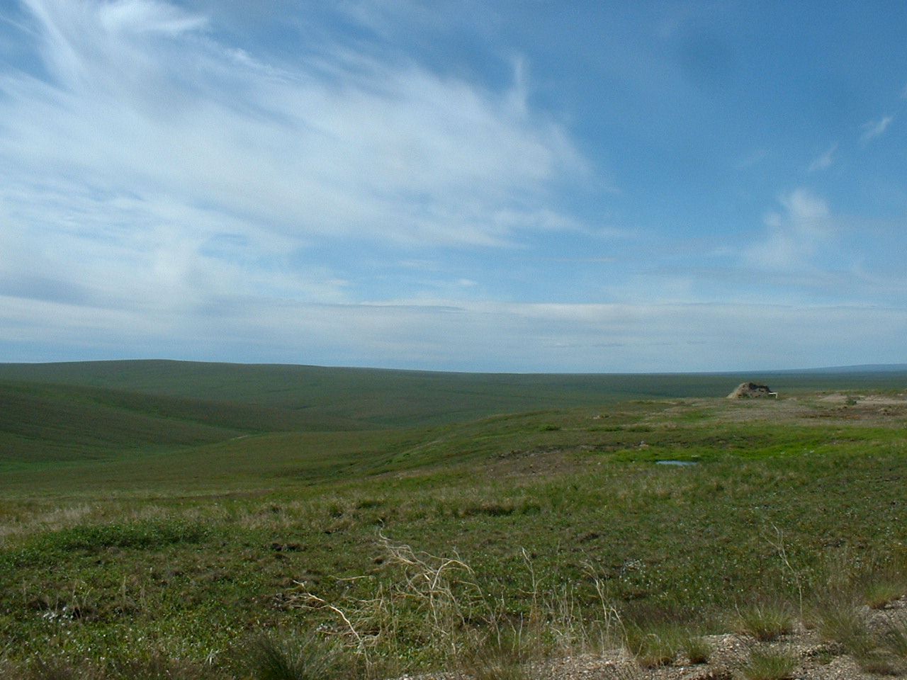
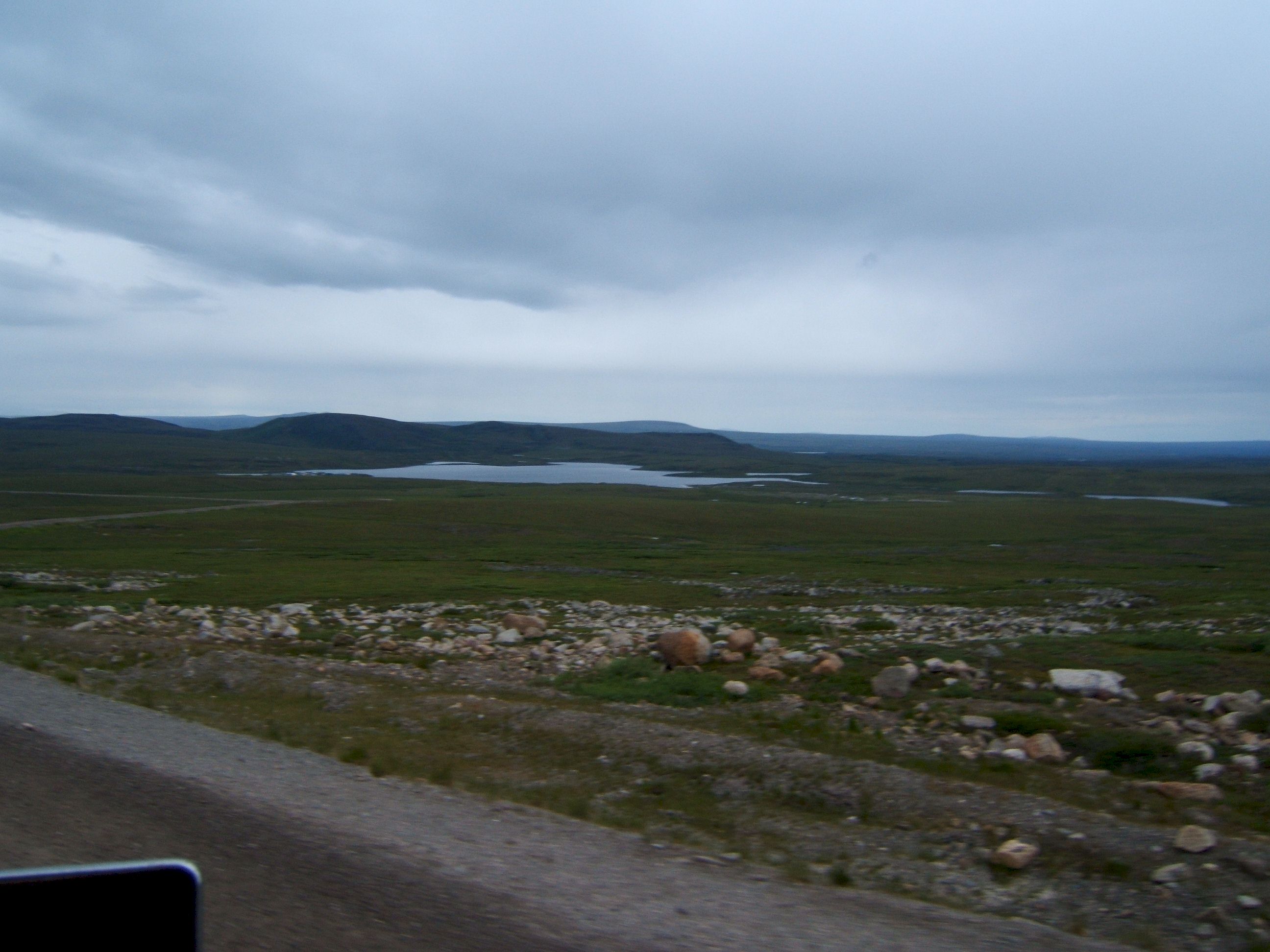
A very scenic site.
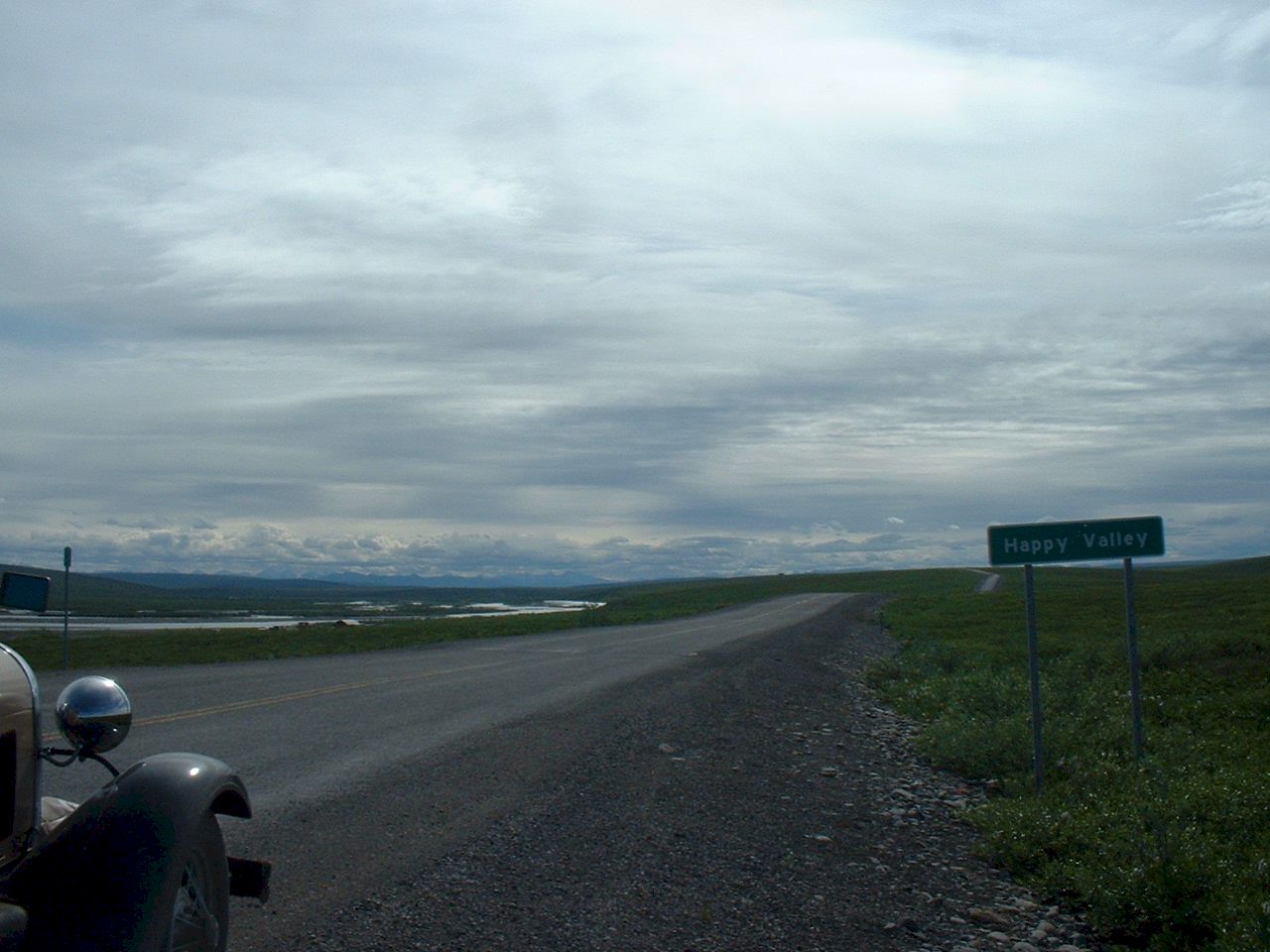
Happy Valley was a site of a pipeline construction camp thirty years ago.
The sky is clouding up and it looks like rain.
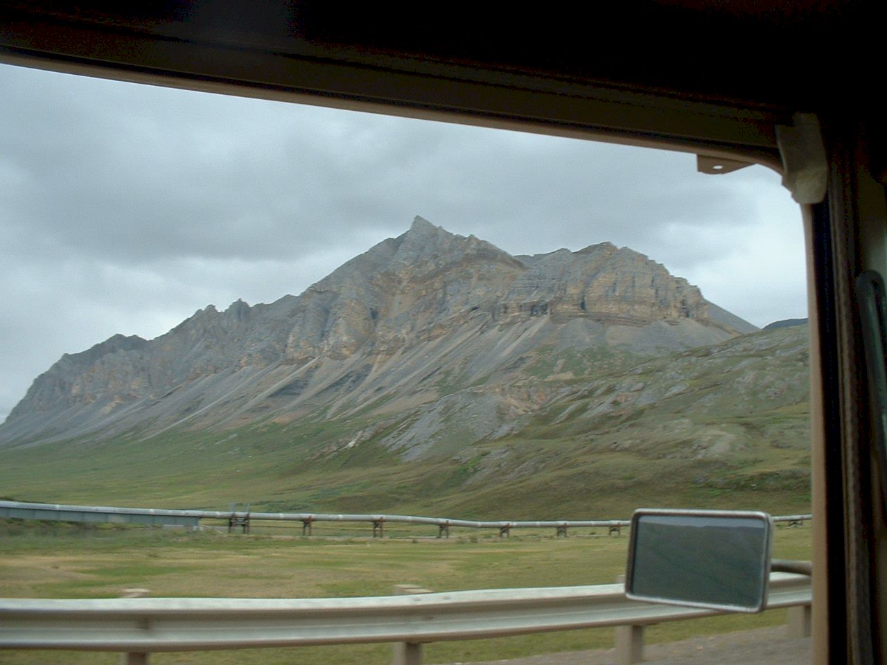
A multi colored mountain rises out of the permafrost and tundra.
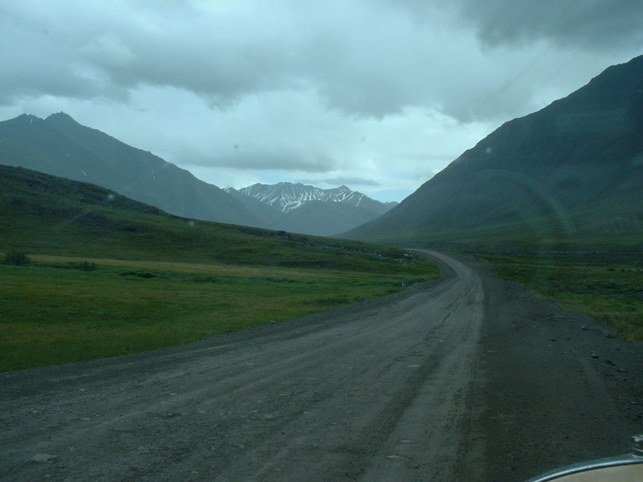
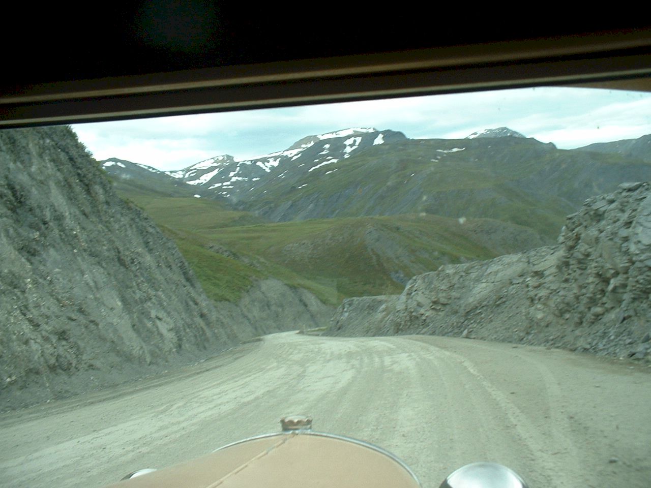
The road goes over several hills as we near the Brooks Range.
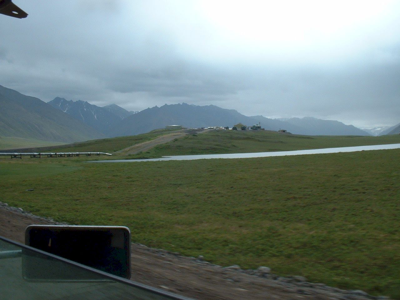
Up on the hill is Pump Station 3. There are no public services at the pump stations, but if a medical emergency occurred I would go there for help.
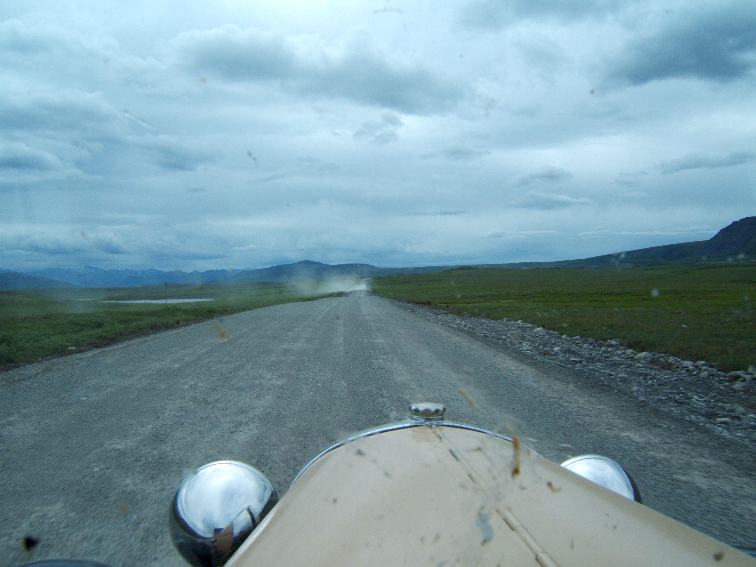
The dust cloud announces oncoming traffic.
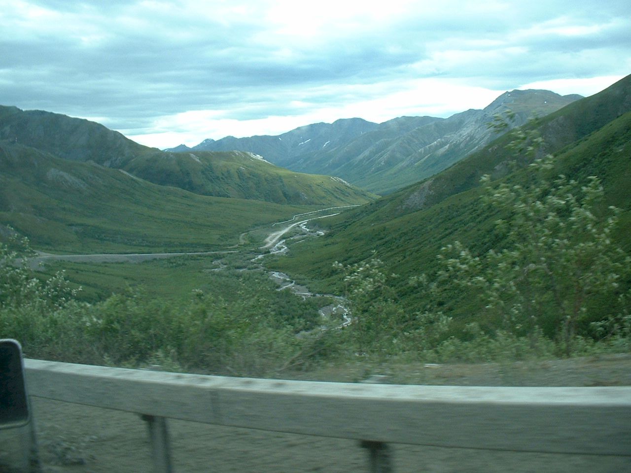
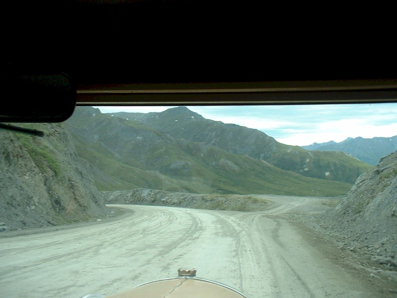
A stunning view of the mountains in the background.
Mountains, rivers and lakes are everywhere.
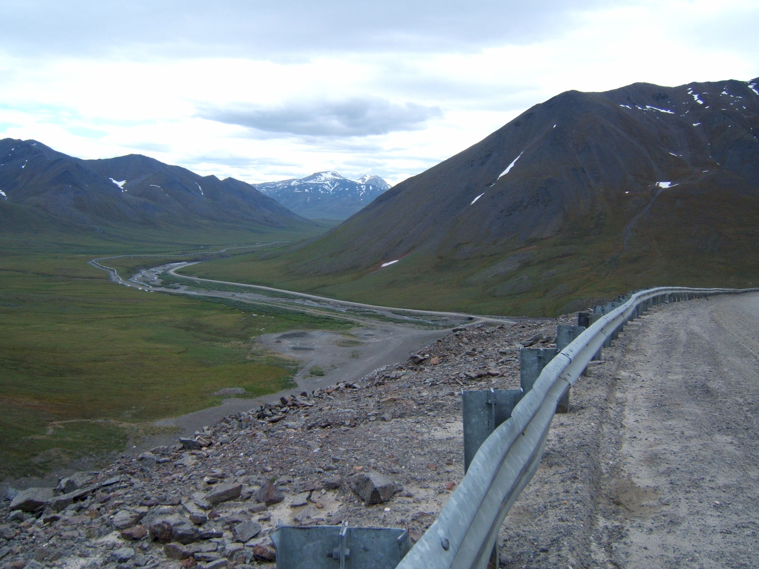
The clouds accent the mountains, and make the valley floor more distinctive. The Brooks Range and Atigun pass are up ahead.
Patty took this picture as we were climbing up the Atigun Pass. The shot is looking back north from were we just came from. As she was taking the picture a semi truck and trailer came the other way, the passenger in the truck was hanging out the window across the driver trying to get a picture of us. I wish I had a copy of it I am sure it would be a great picture looking at the valley.
Looking down on the other side of the pass .
This picture shows the slope of the road as we go down the pass. The hill is rocky.
A short distance down the hill the terrain changes back to green.
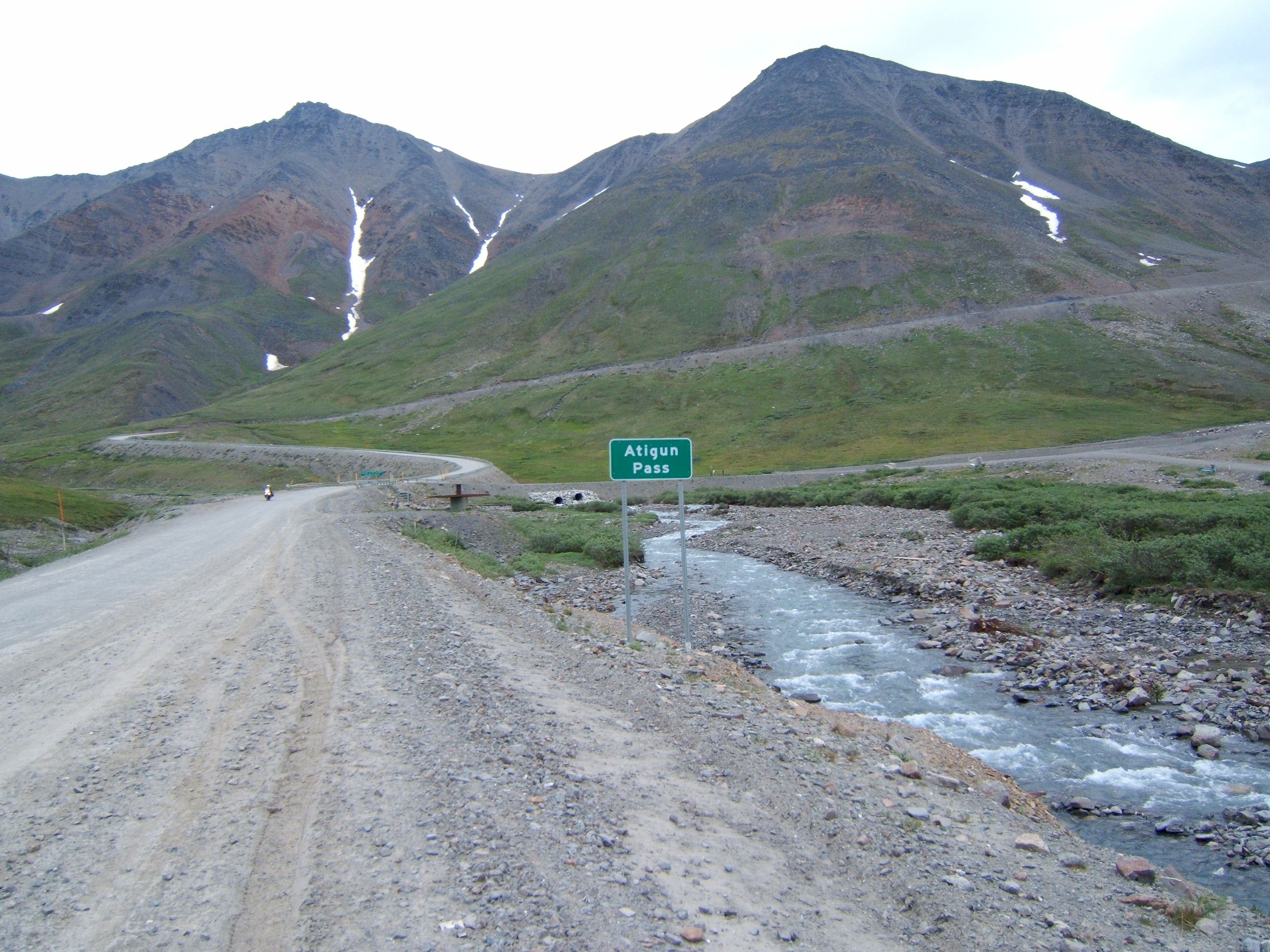
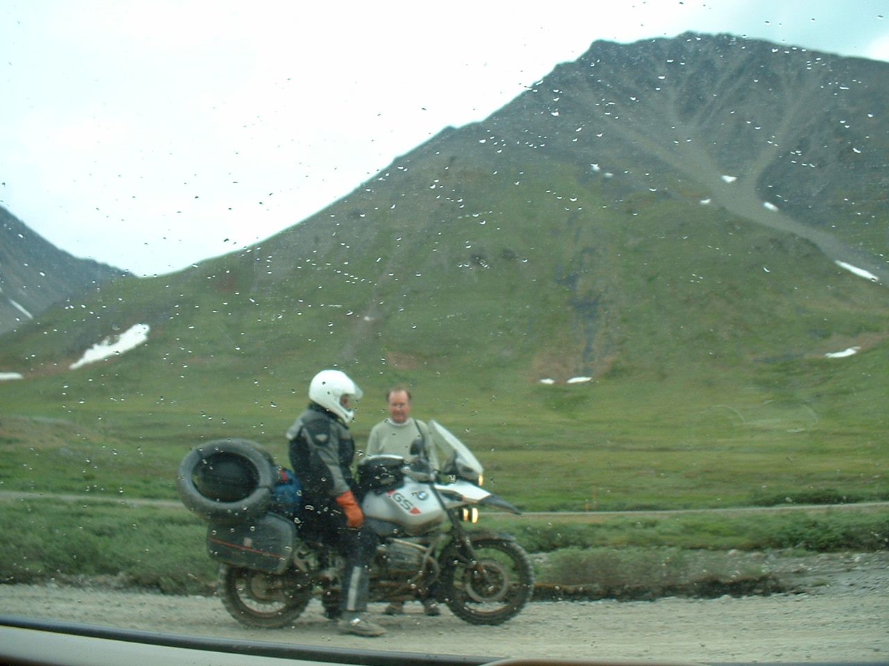
Looking back at the pass we saw this motorcycle rider approaching. This is where I decided to add five gallons of gas to make it to Coldfoot.
The guy on the bike stopped to see if we need any help. Notice the two extra tires he is carrying. It is recommended to carry spares, we did carry one, but did not need it.
One more steep hill to go down. I would be a fun ride in the winter covered with snow.
There is a view area ahead.
These small stream come from nowhere and go along the road for miles and then dump into a river.
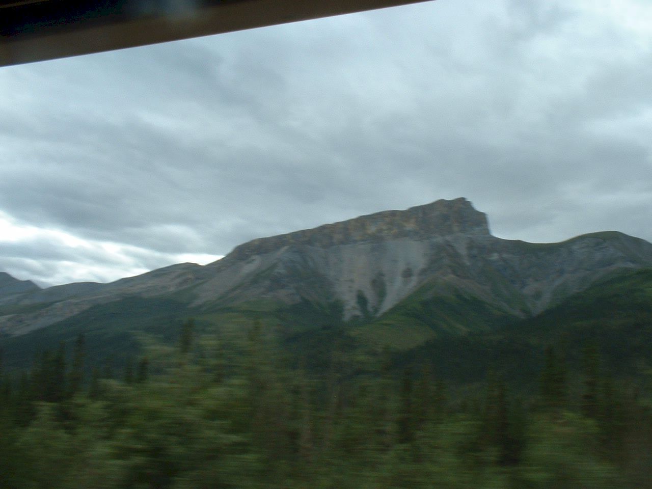
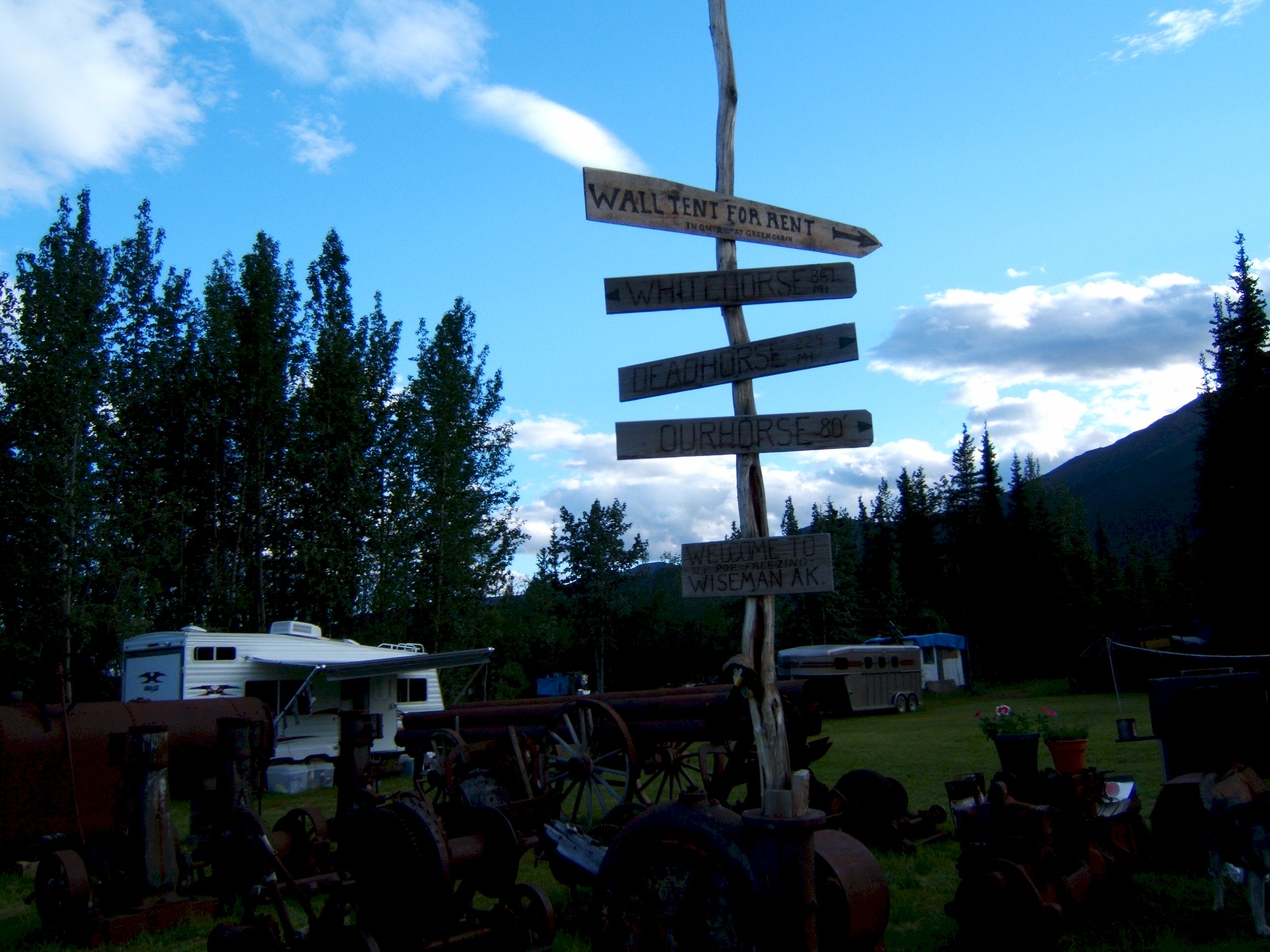
This mountain is east from Wiseman, our last stop for the day.
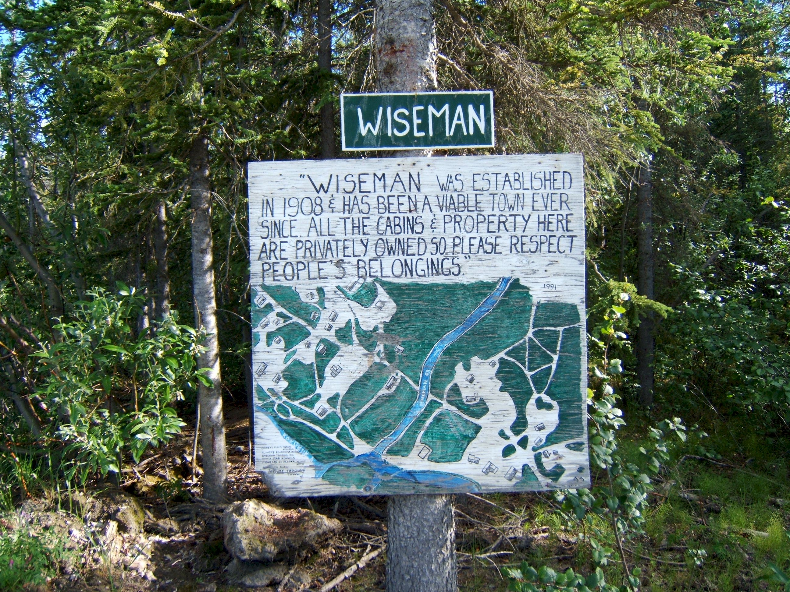
Wiseman.
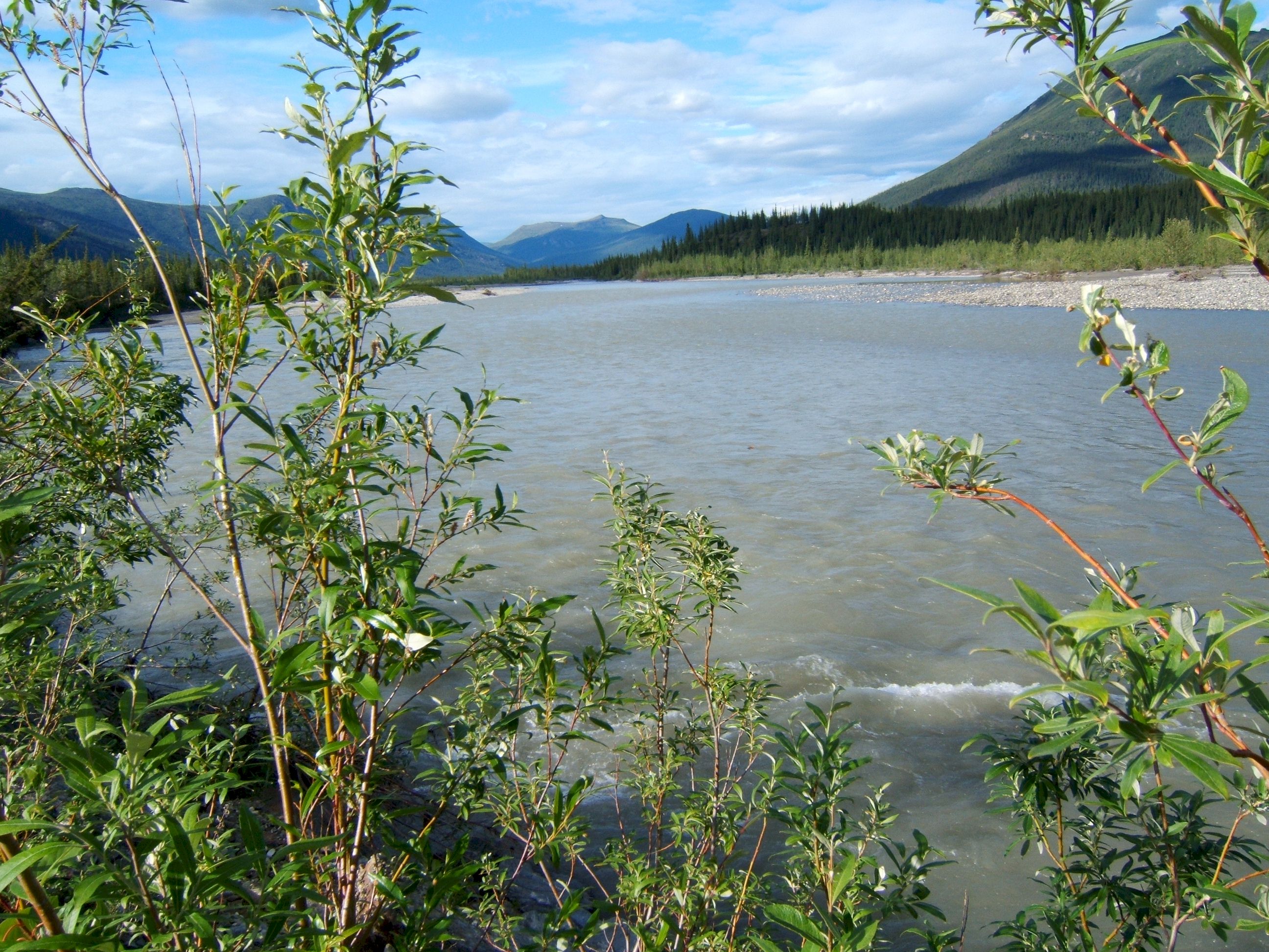
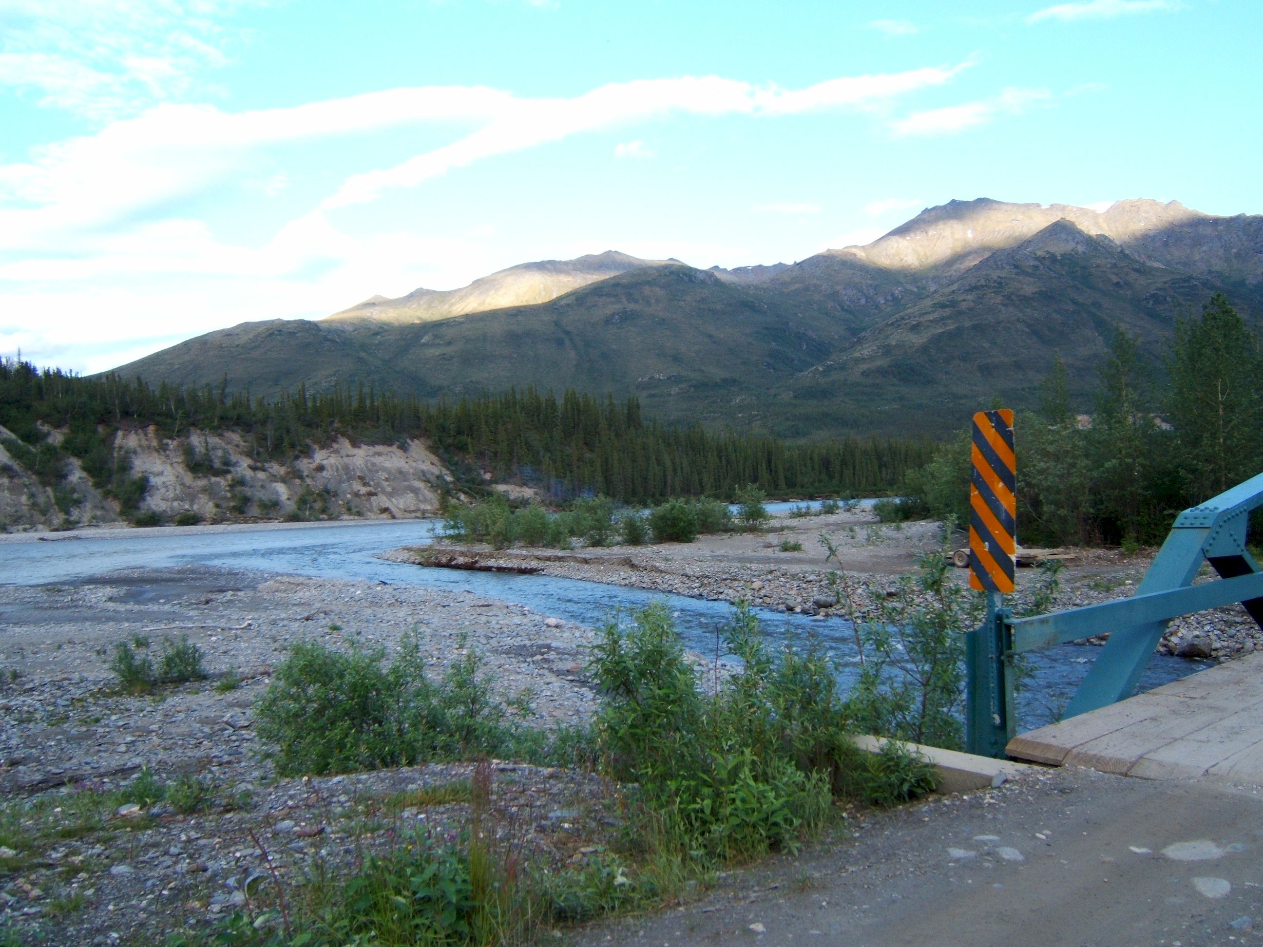
The Middle Fork Koyukuk river at Wiseman.
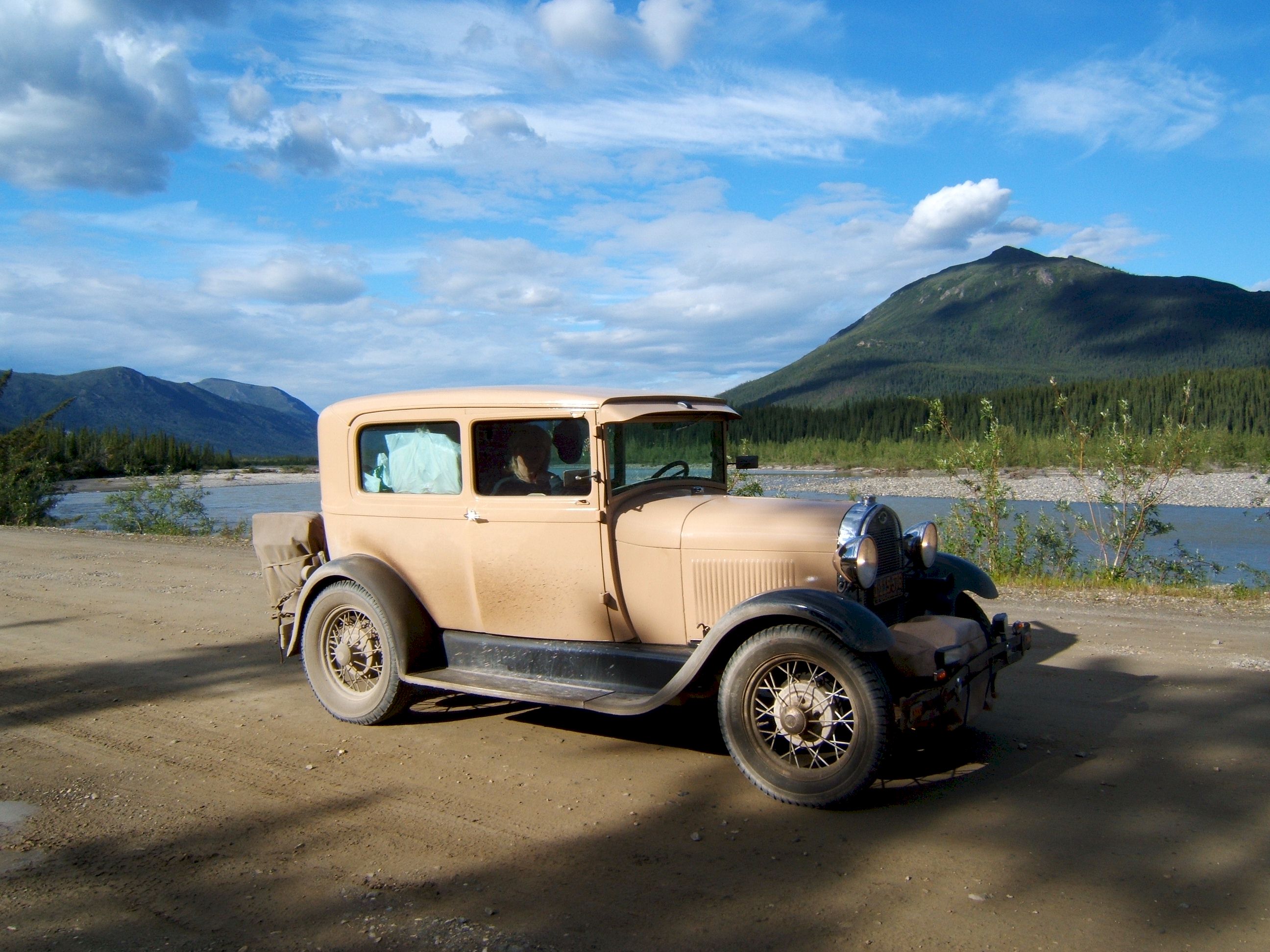
My car needs a bath. And Patty and I need sleep.
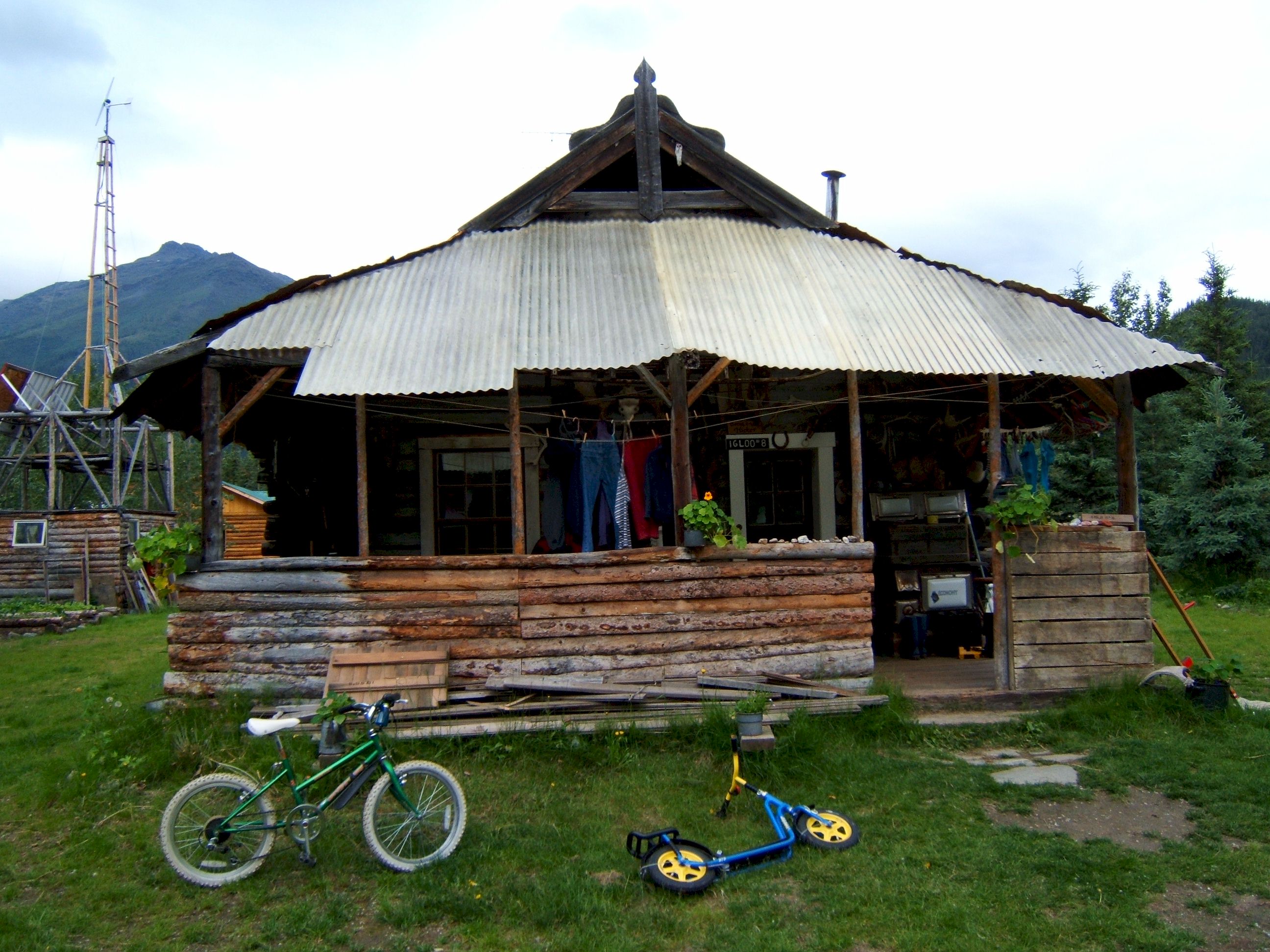
We are almost to Berni and Uta's B&B.
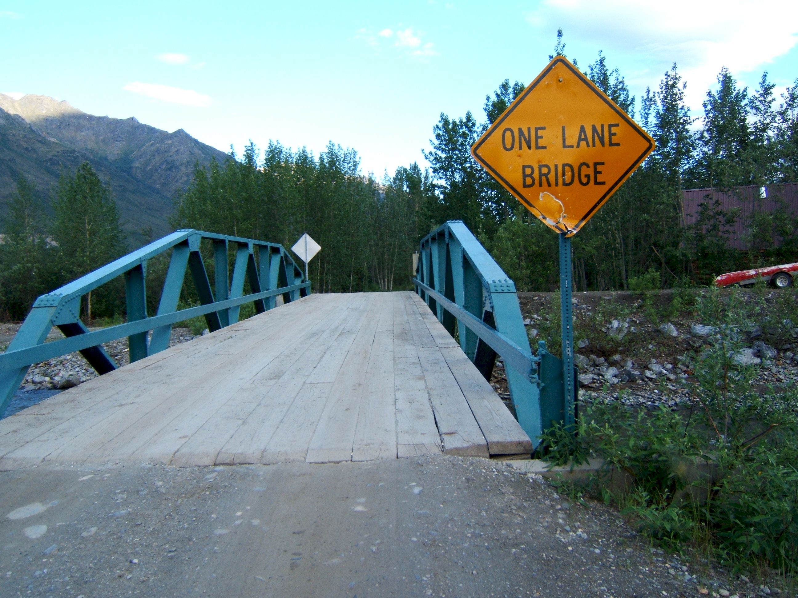
One more bridge to cross.
We stayed here and had a good nights sleep, except for that one mosquito that followed me in the door.
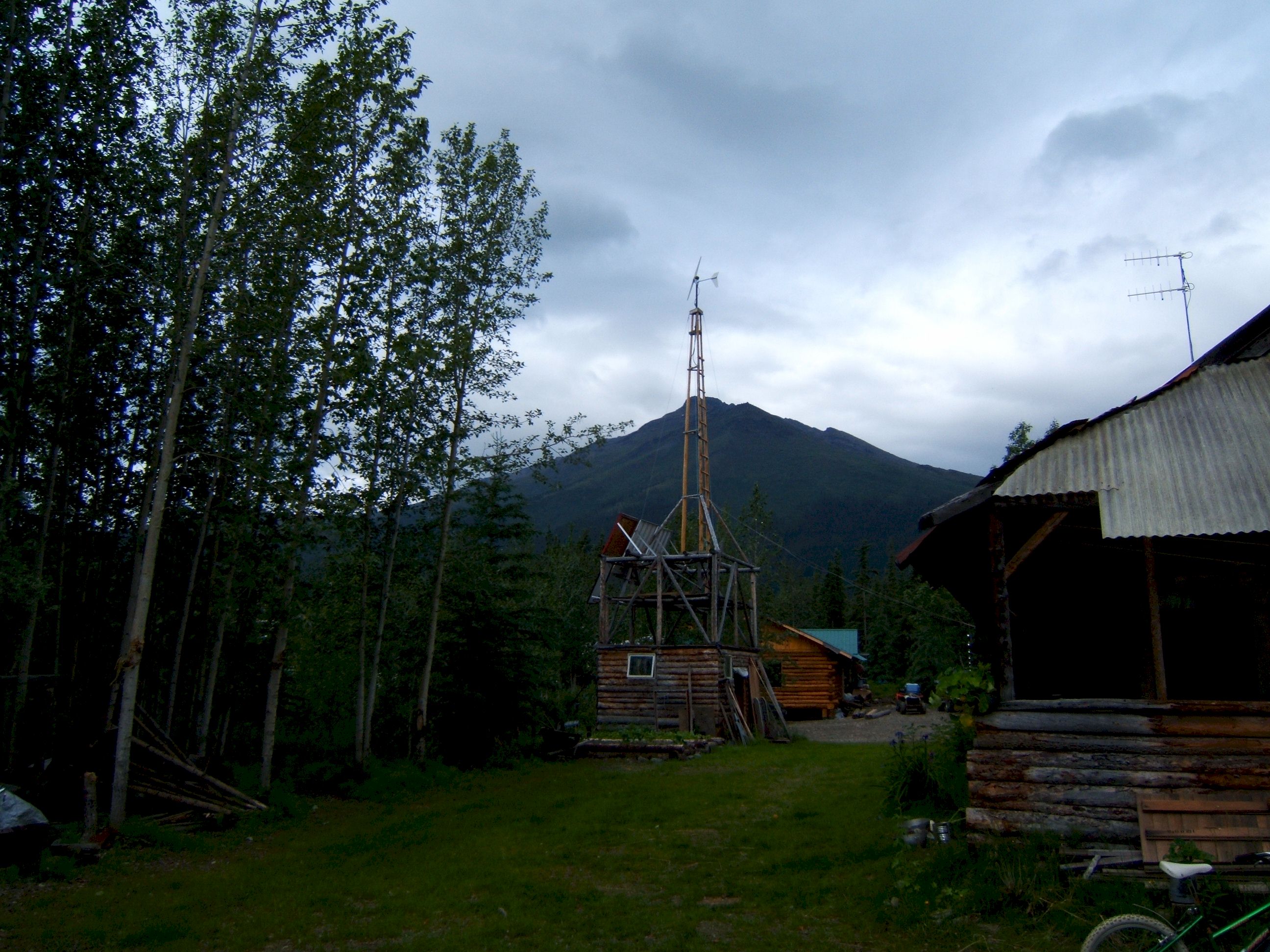
This is the cabin we stayed in, there were three bedrooms, another family had the other two. It was comfortable. Everything runs on twelve volts. They have solar panels and a wind generator to charge the batteries. This is where the owners stay in the winter.
This is where Berni and Uta live with their two children in the summer.
The wind generator that charges the batteries.
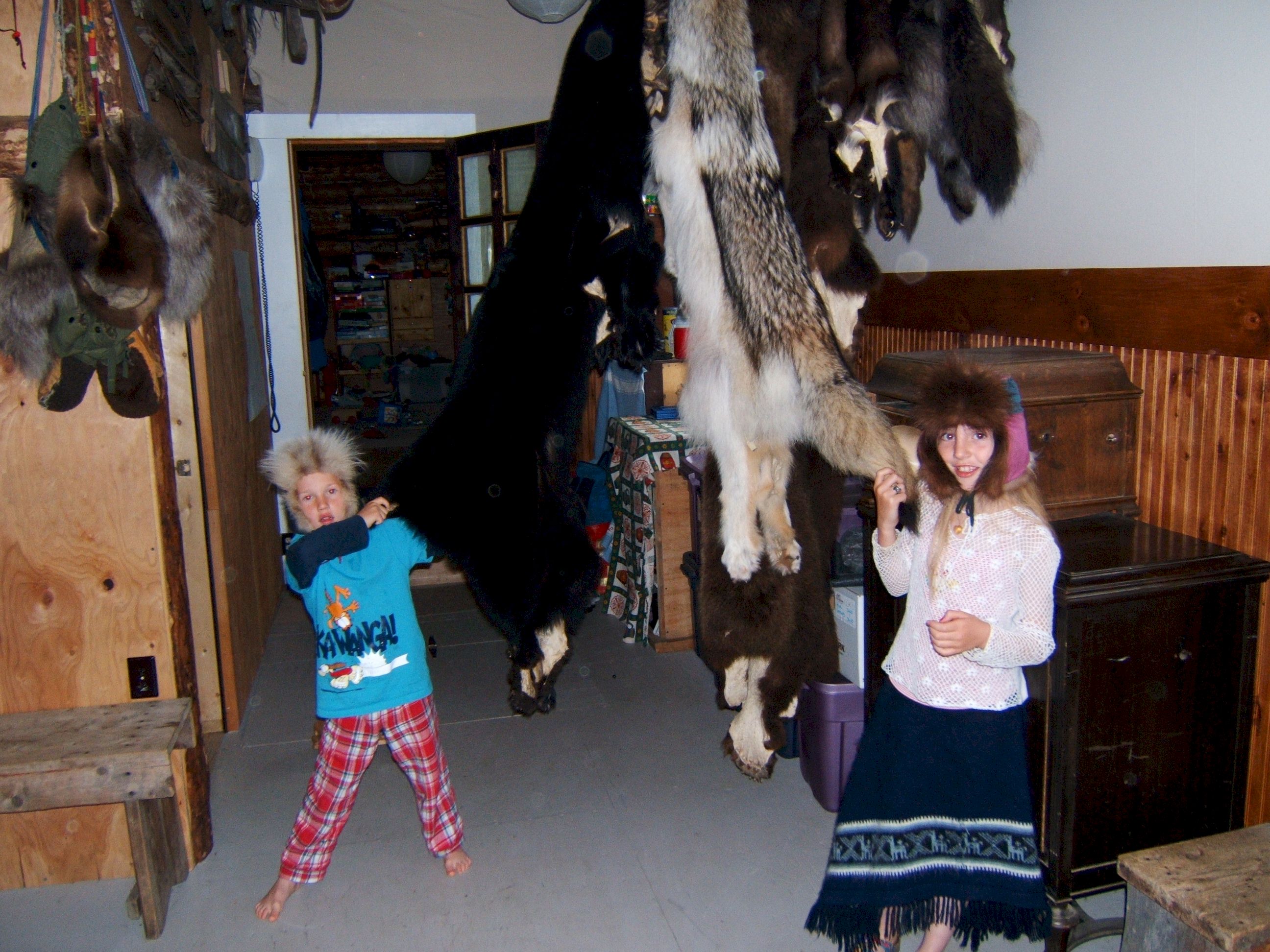
Berni is a trapper. The kids are showing off some of the furs. The children are home schooled, but will probably move into Fairbanks for Middle and High School.
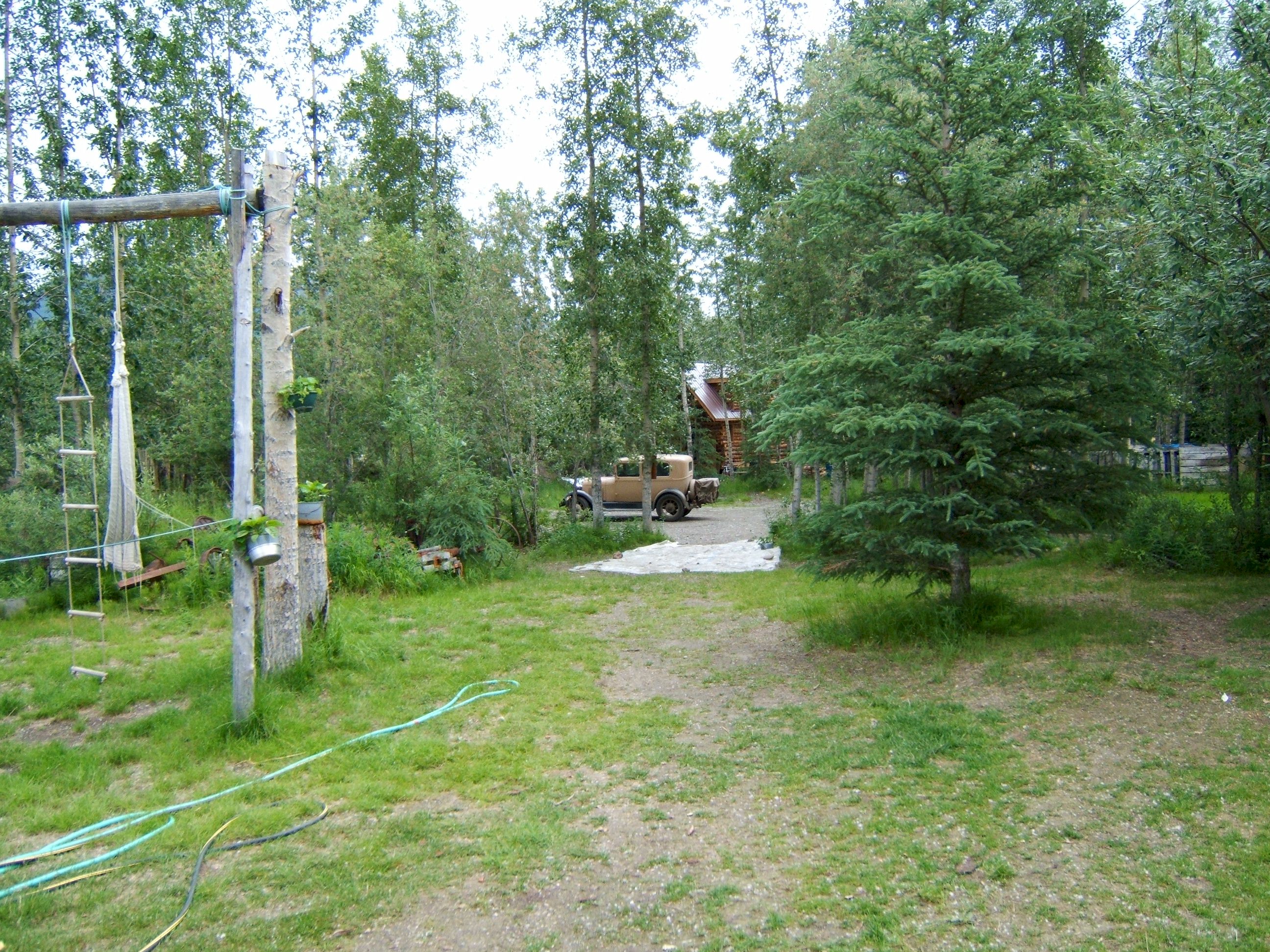
We have had breakfast and are going back to the car to be on our way again.
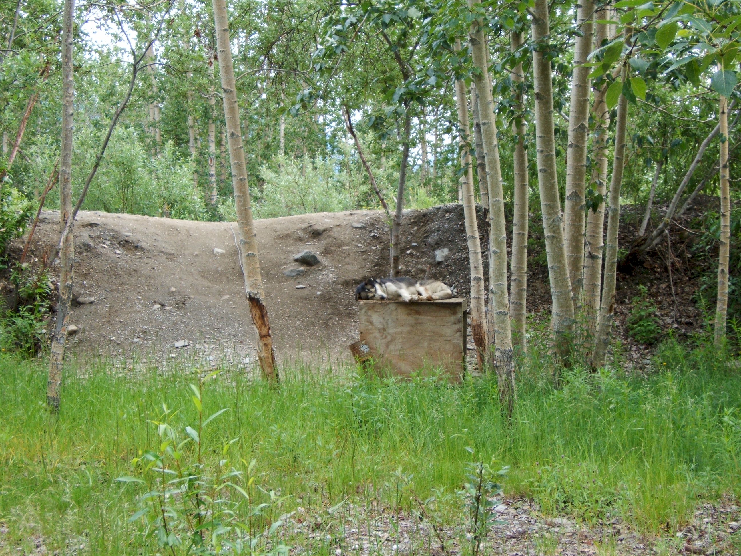
Most of the dogs I have seen up here are sleeping on the roof of the dog house. I guess it is summer and they are trying to stay cool.
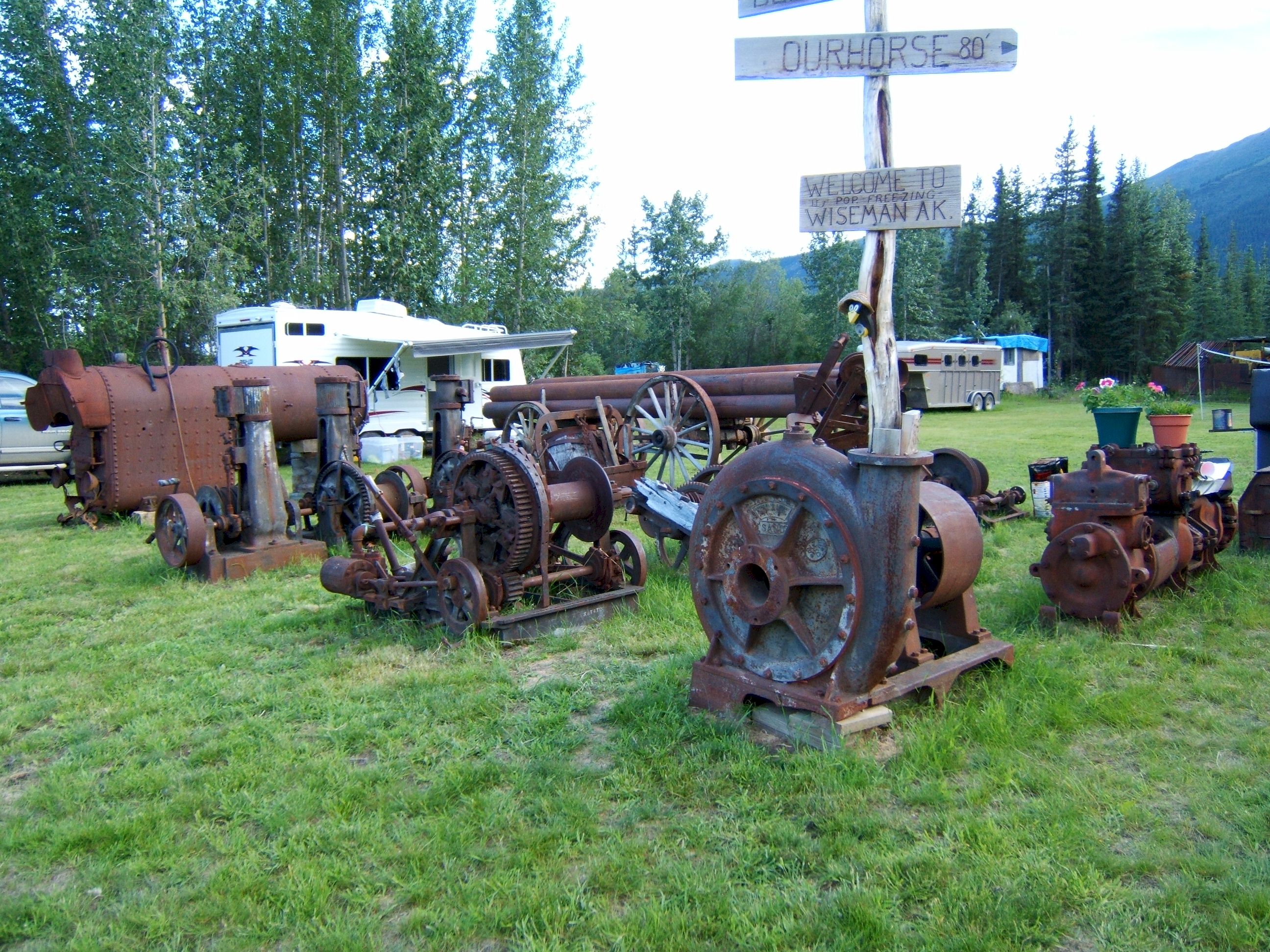
On our way out we stopped at Clutches to say goodbye. He has a collection of old mining equipment.
This mining equipment was hauled up here before there was a summer road. In the old days they had to move everything in the winter when the ground was frozen, so they could go across rivers and streams without sinking in.
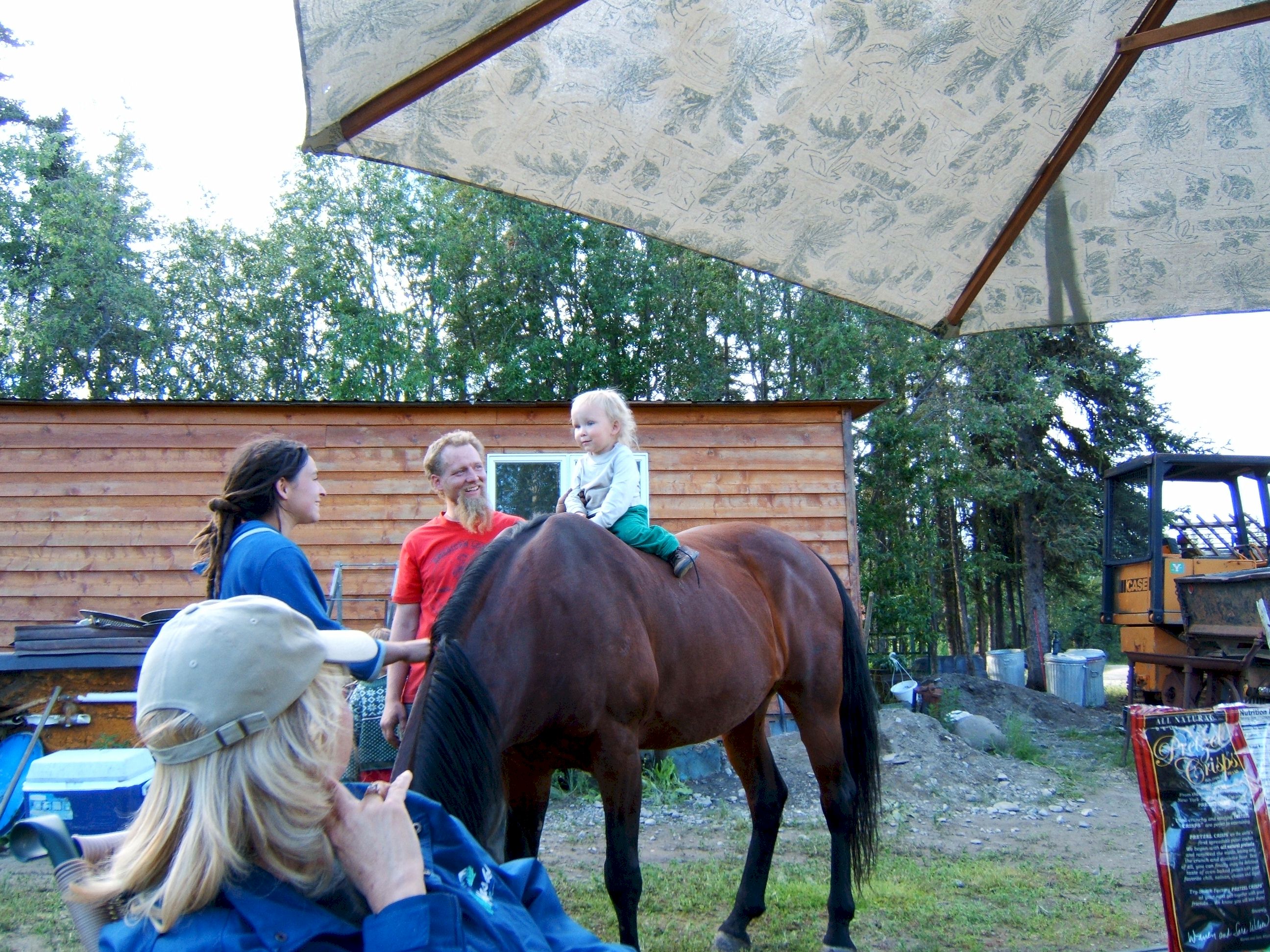
Some of Clutches friends teaching a young one how to ride a horse.
|