|
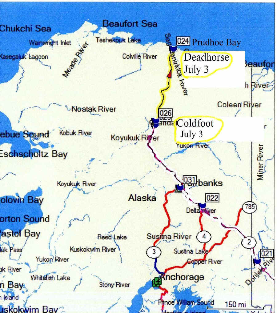
Day 17 Monday, July 3 Monday July 3, we drove 238 miles from Cold Foot N67 15.064 W150 10.553 to Deadhorse N70 12.118 W148 27.919
We slept in till about 8:00am, that was only about seven hours sleep, but I wanted to travel on North while the weather was good.
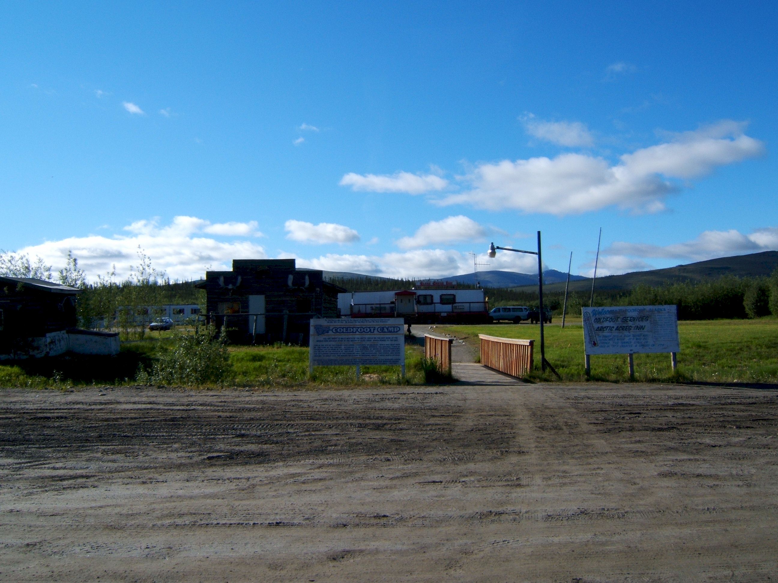
This is a picture of where we slept for the night at Coldfoot looking from the restaurant and gas station, the old building is from the early 1900's..
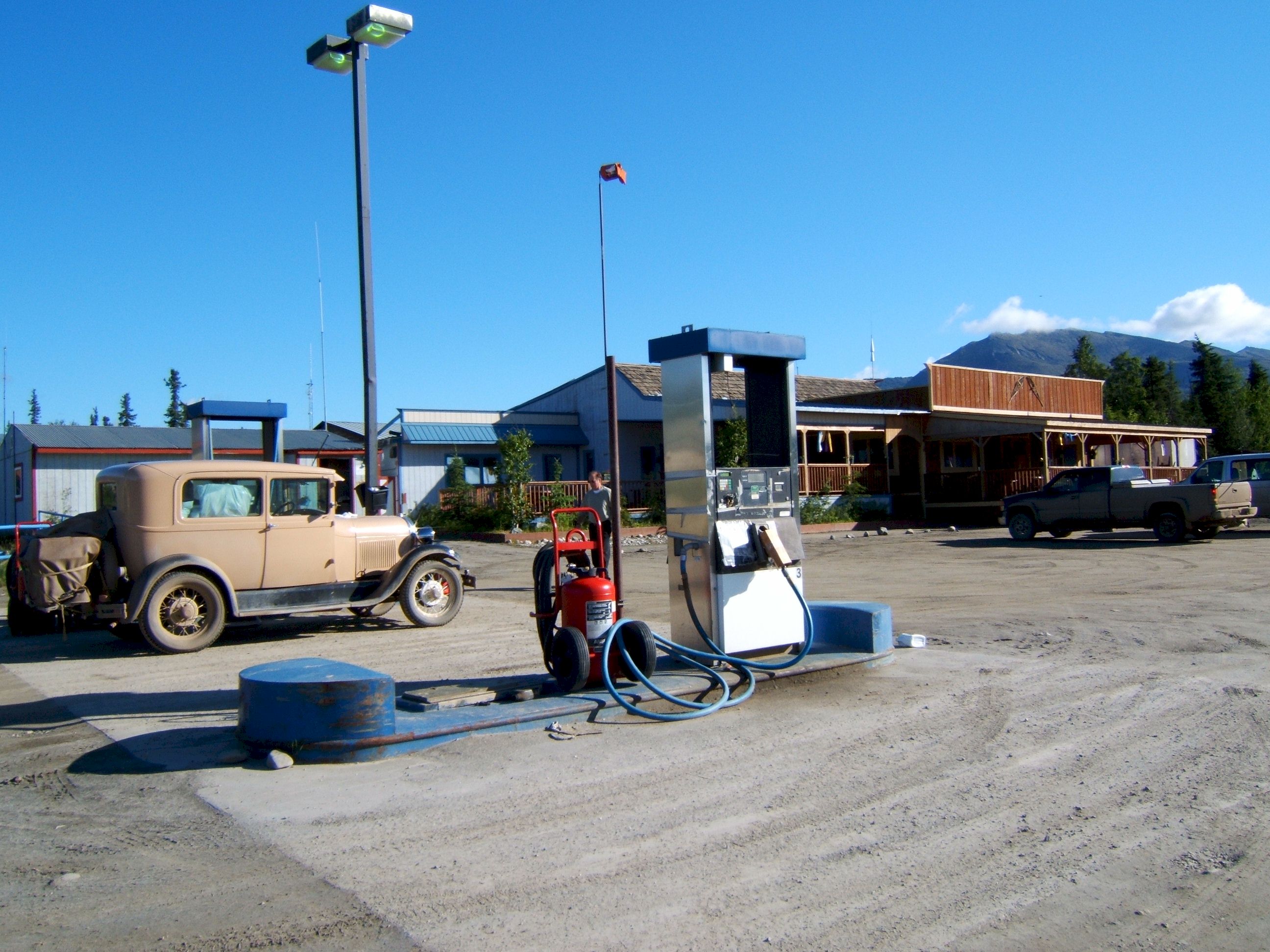
Getting ready to get gas and head for Deadhorse. The restaurant is in the background.
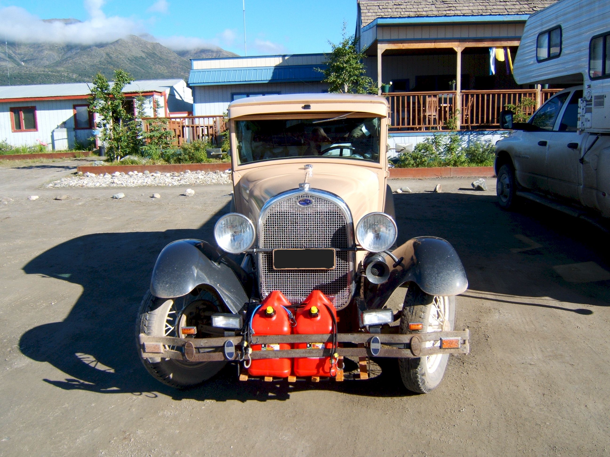
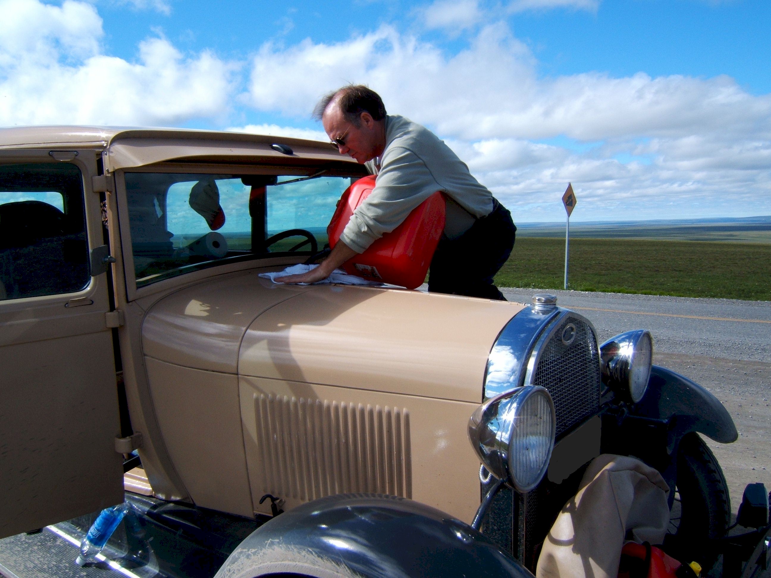
The next gas is in Deadhorse which is about 240 miles away. My gas tank holds ten gallons and I get about eighteen mpg. This means I will run out of gas about sixty miles before I get to Deadhorse. I built the rack on the front of the car to carry tools or gas cans. I needed only one five gallon can, but I brought along two, in case I found someone on the road out of gas, then I could help them.
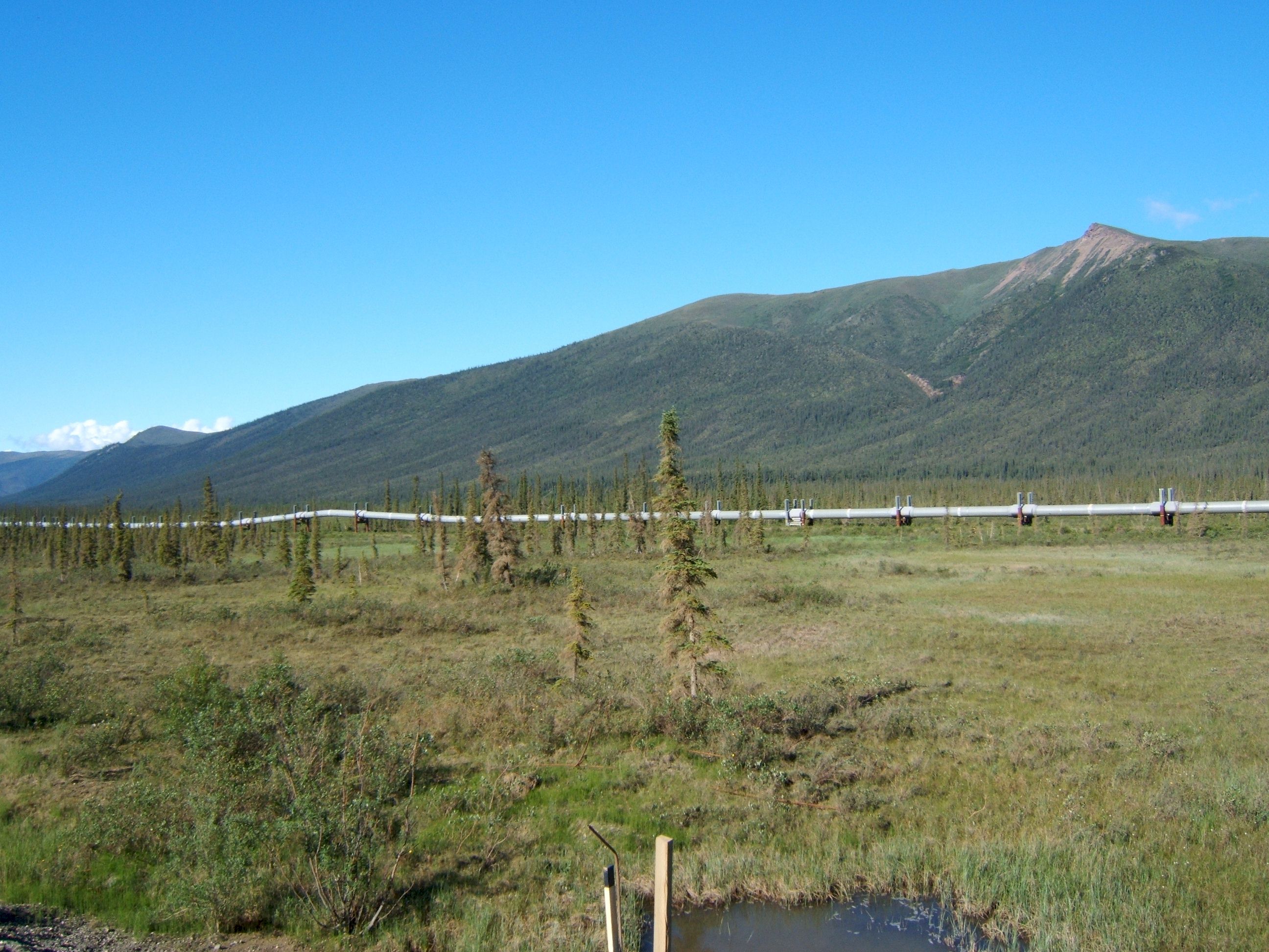
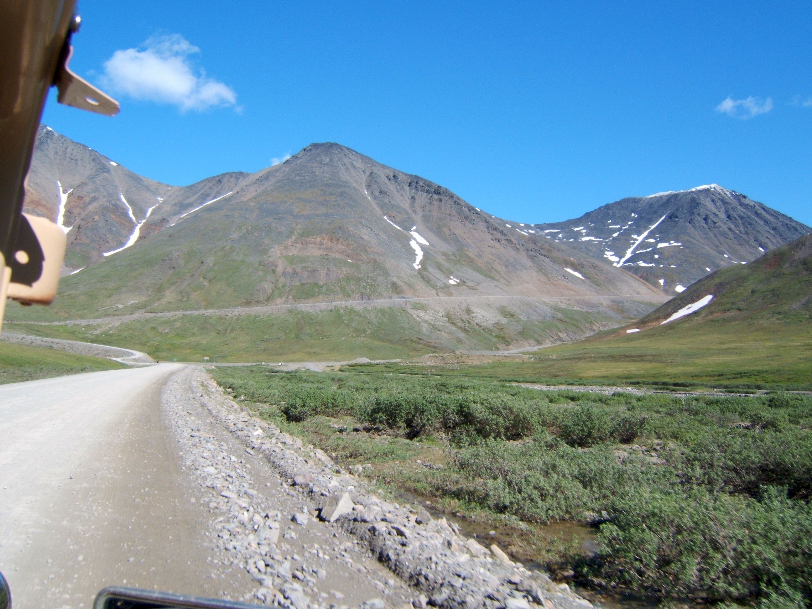
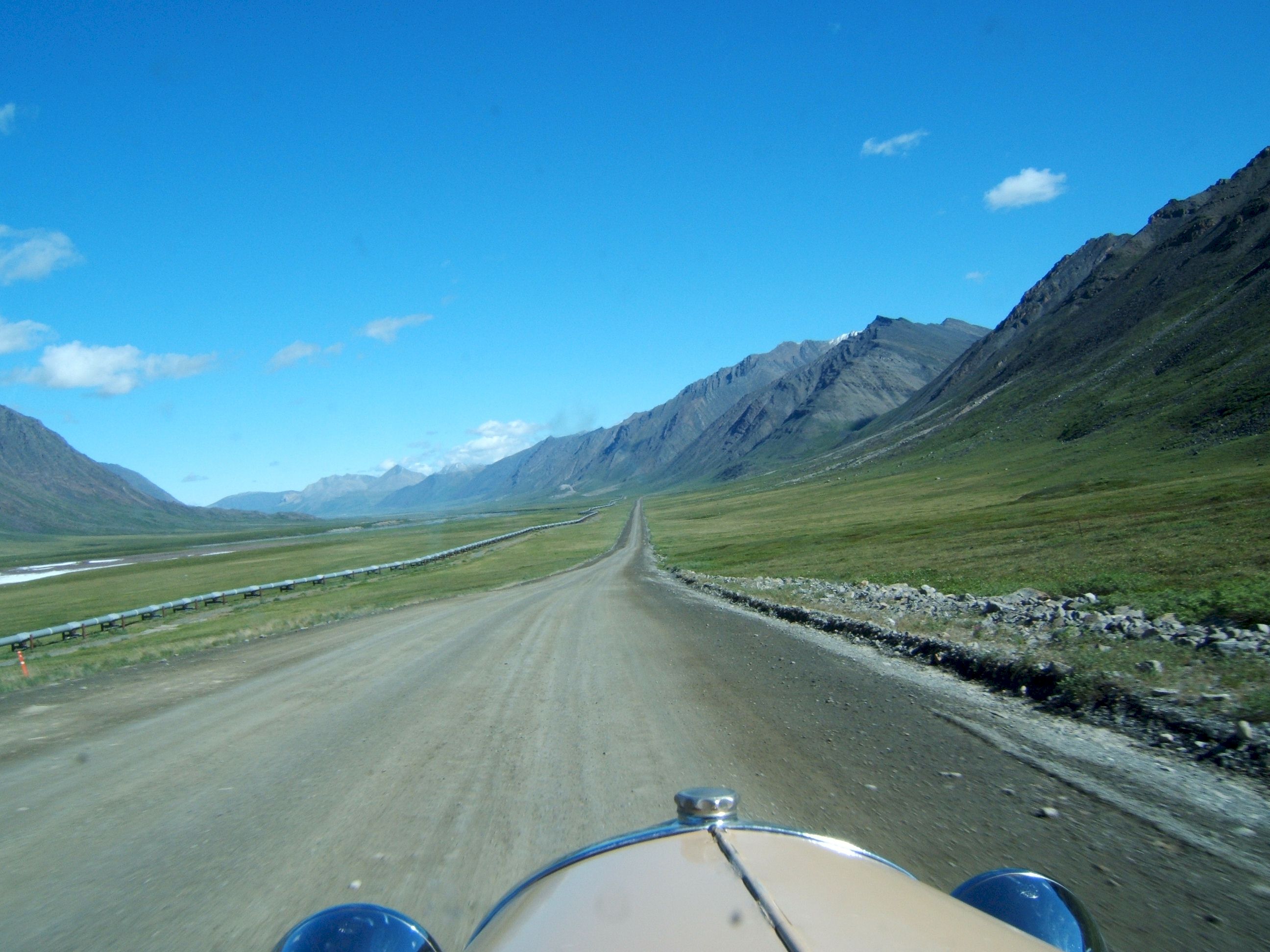
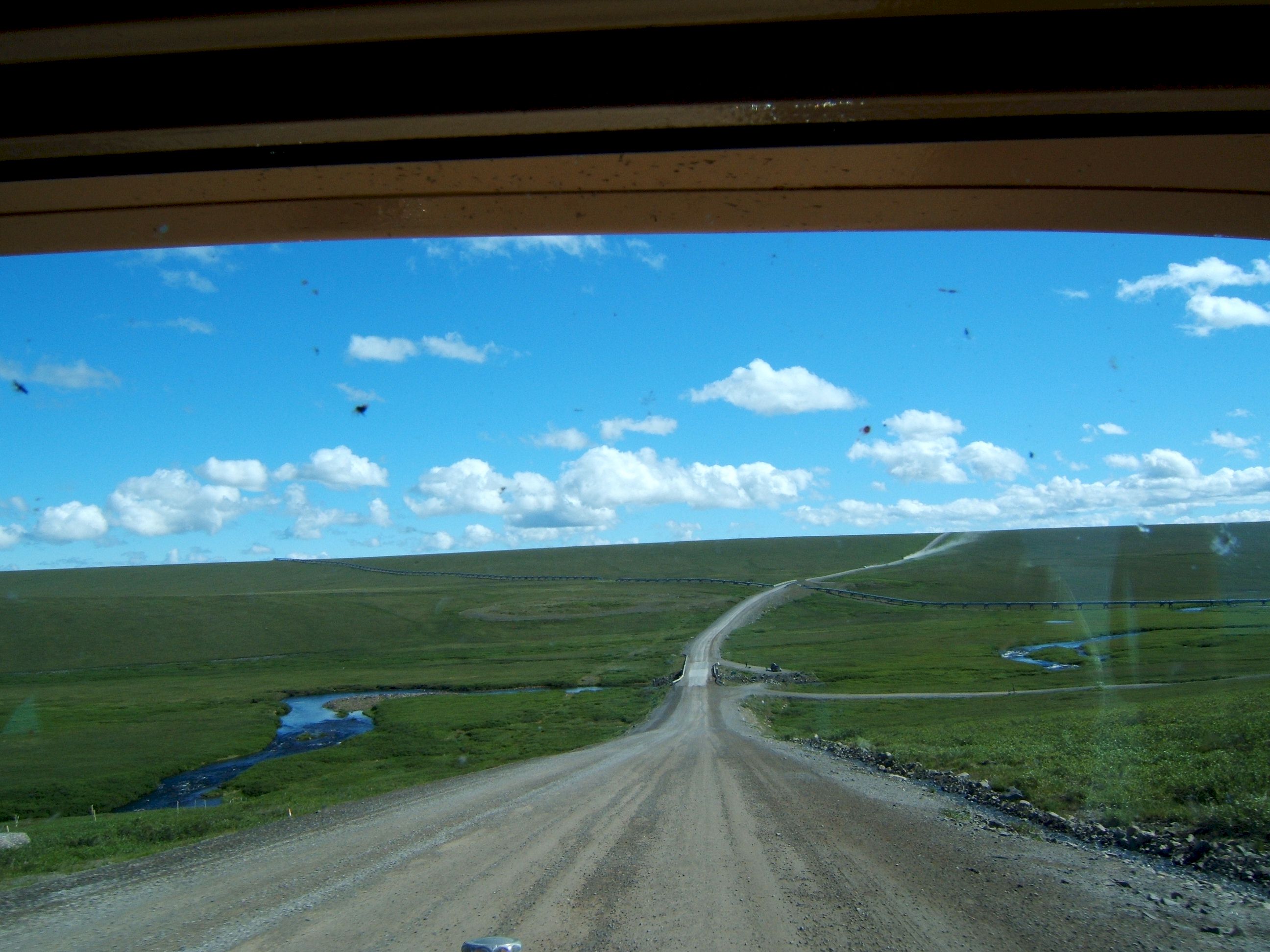
In the background is the oil pipeline which is usually on one side of the road or the other. The road was built by the oil company to get supplies to Prudhoe Bay.
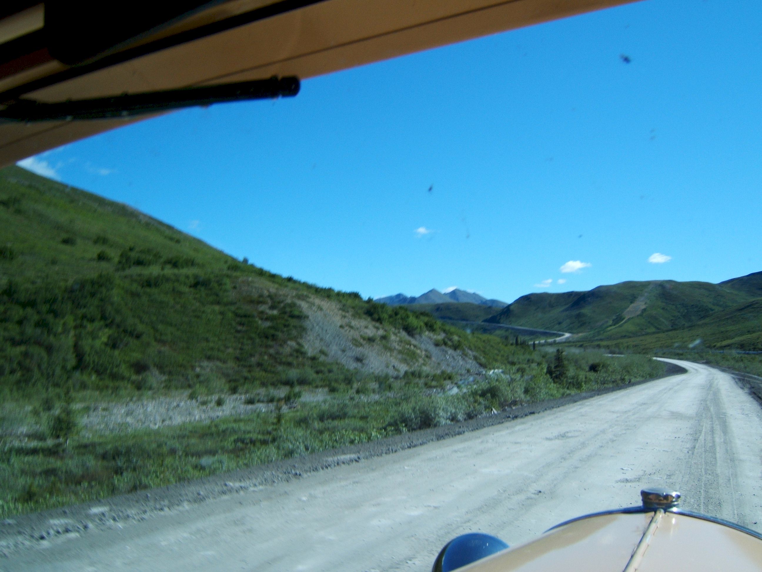
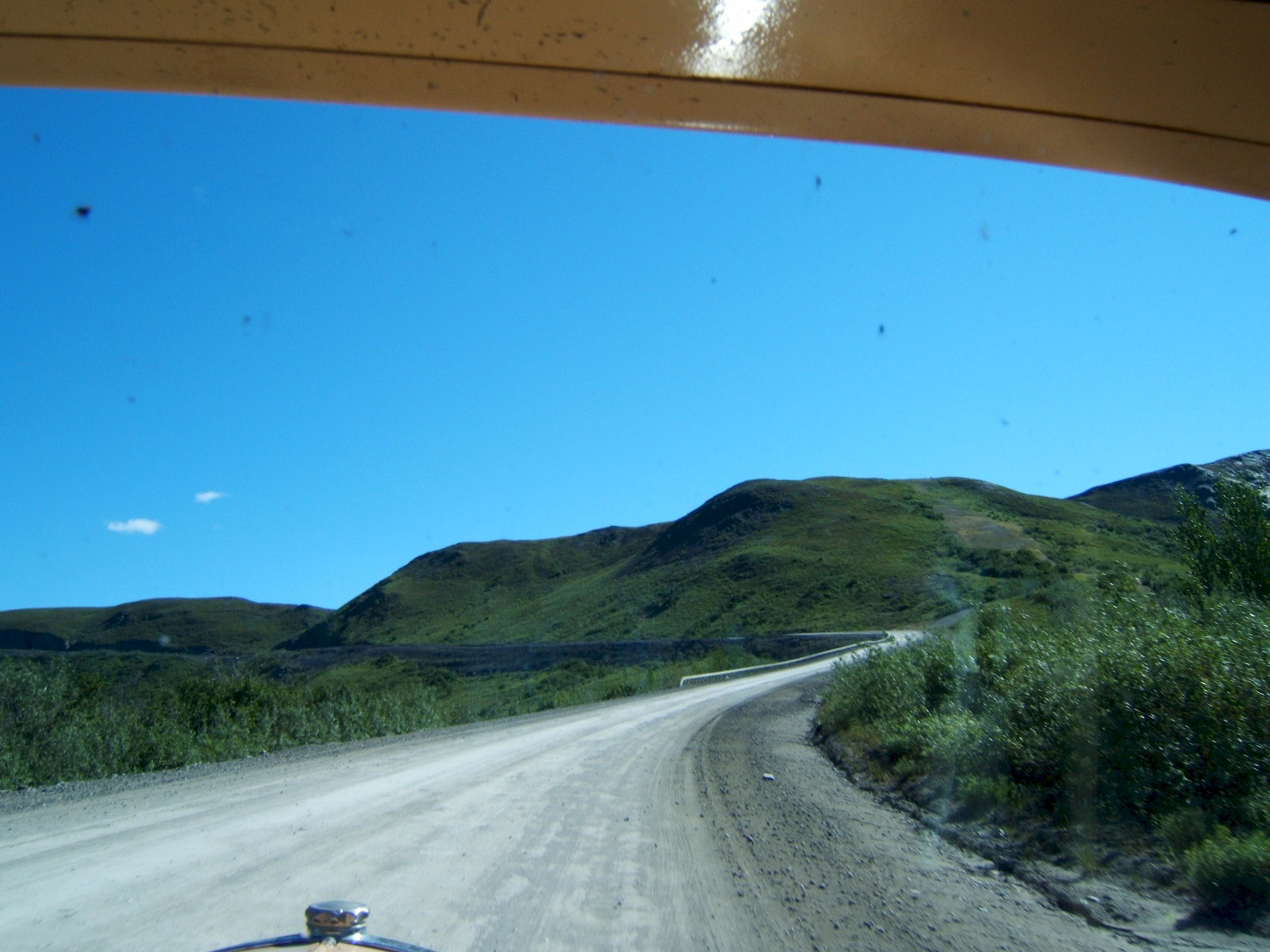
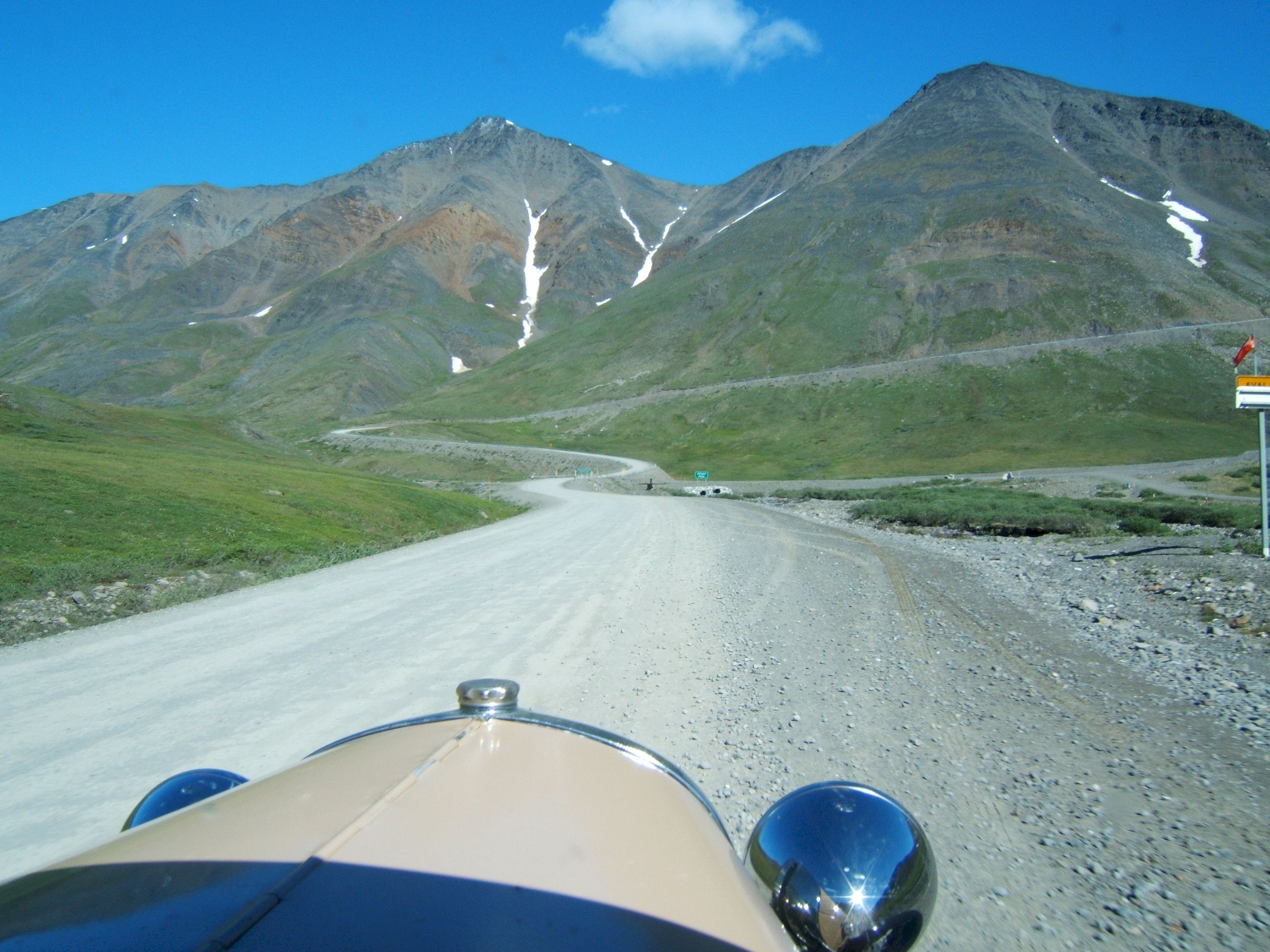
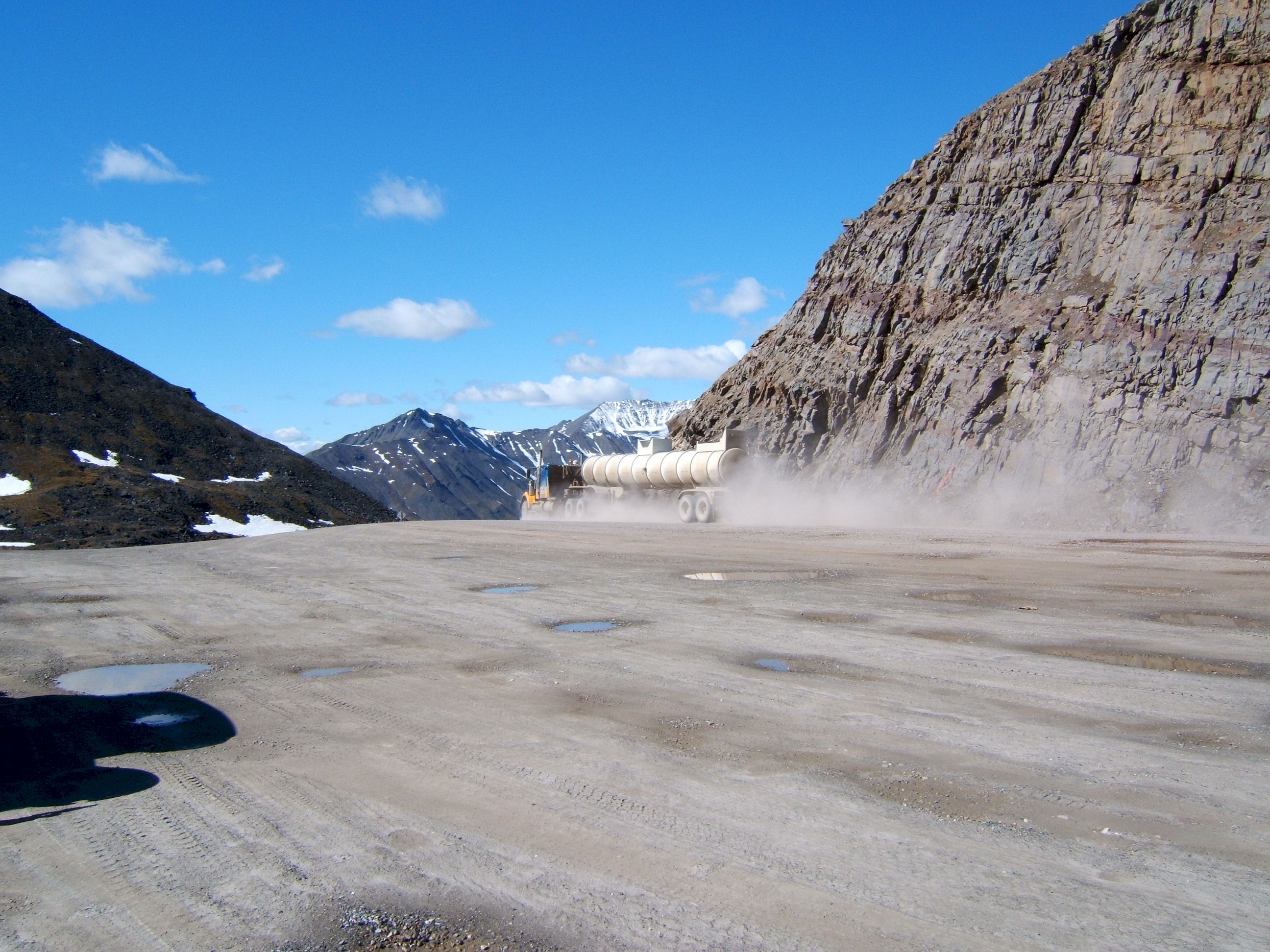
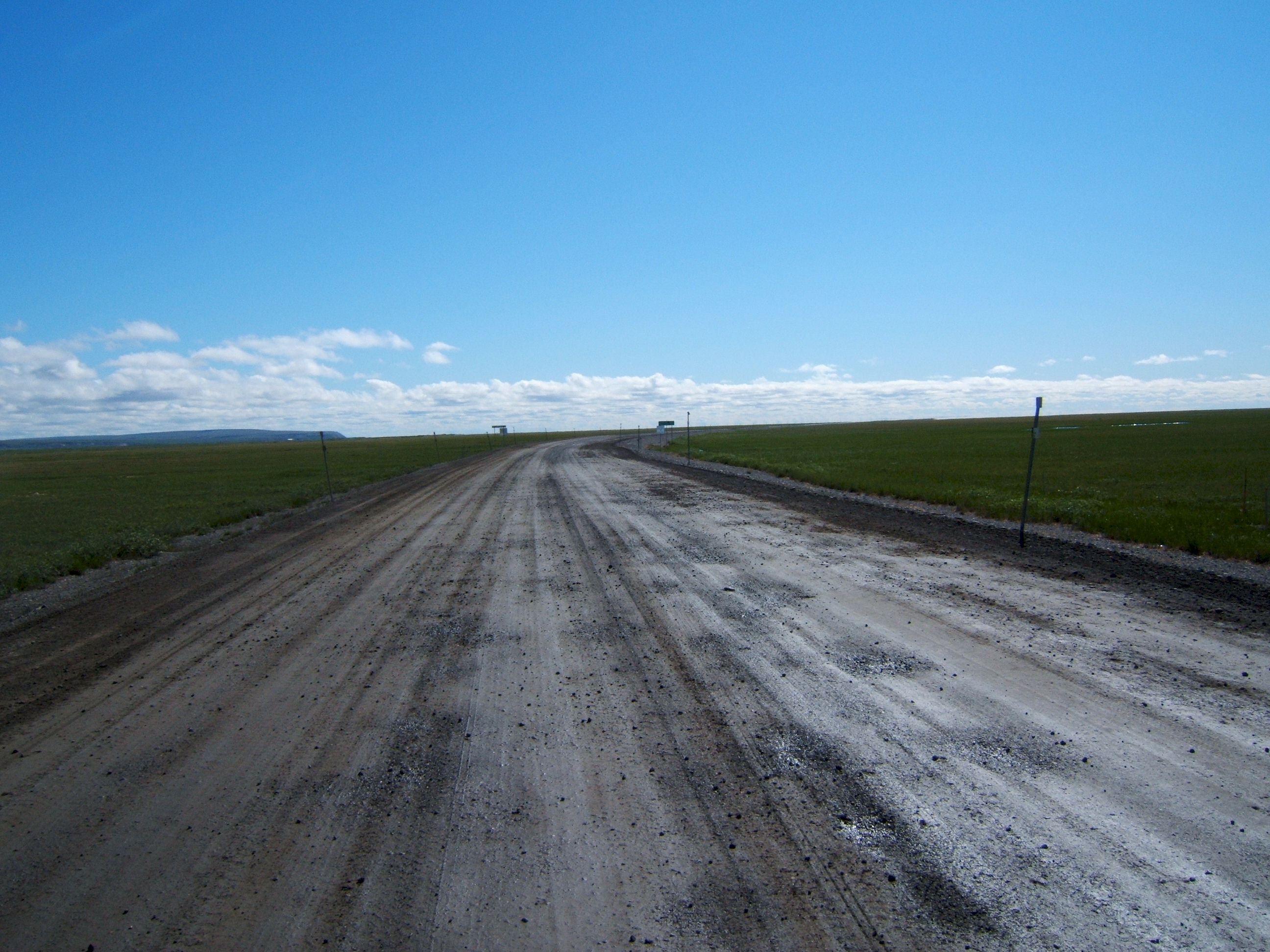
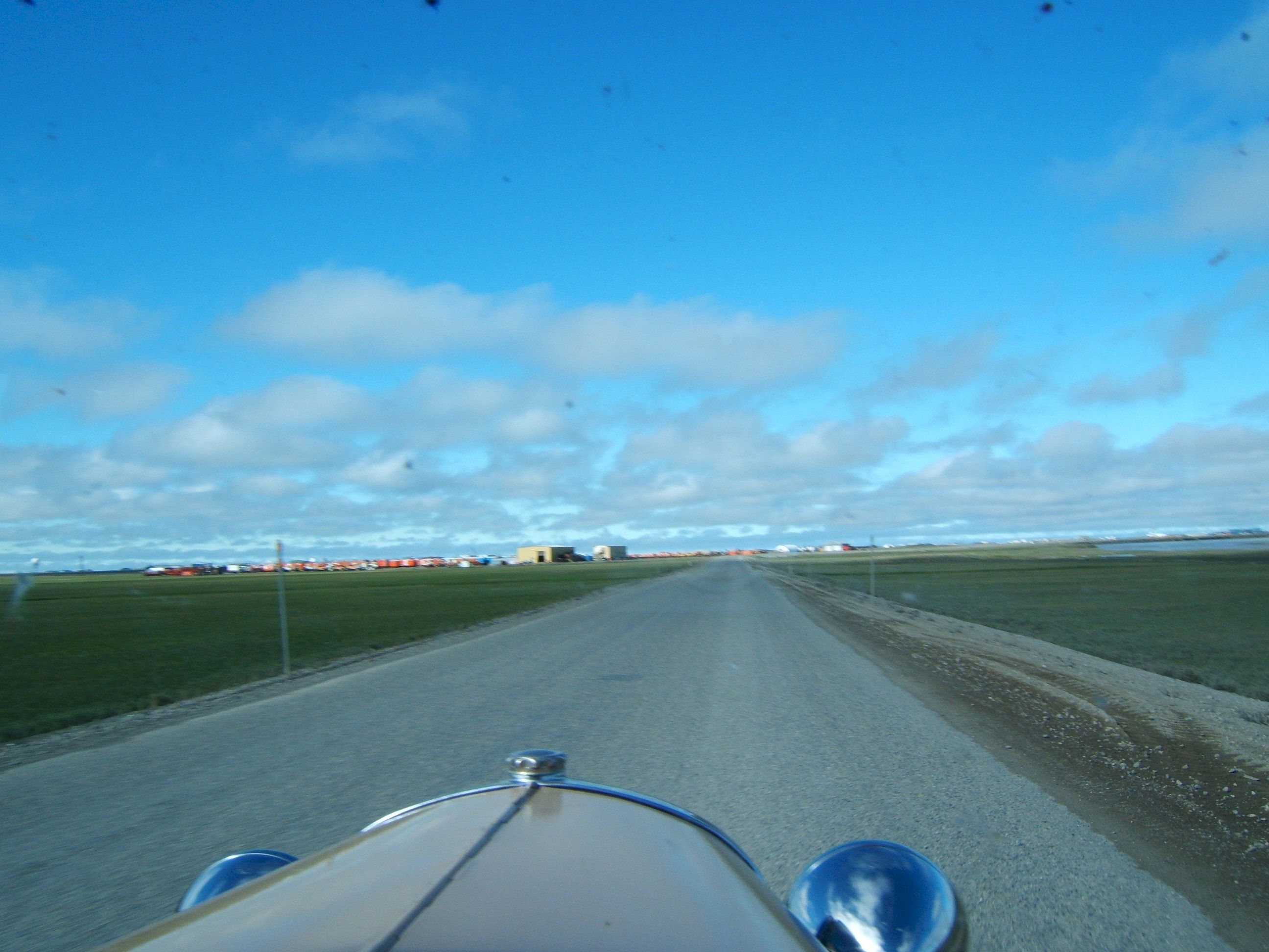
The road was in good condition. There are not many cars or trucks in the road pictures, that is because we did not see many. That makes driving the road enjoyable.
More pictures of the road, taken while driving North.
In The far background is an Alaska Highway Department maintenance building. When the oil company turned the road over to the State of Alaska, they stopped maintaining it. The maintenance is now the responsibility of the State.
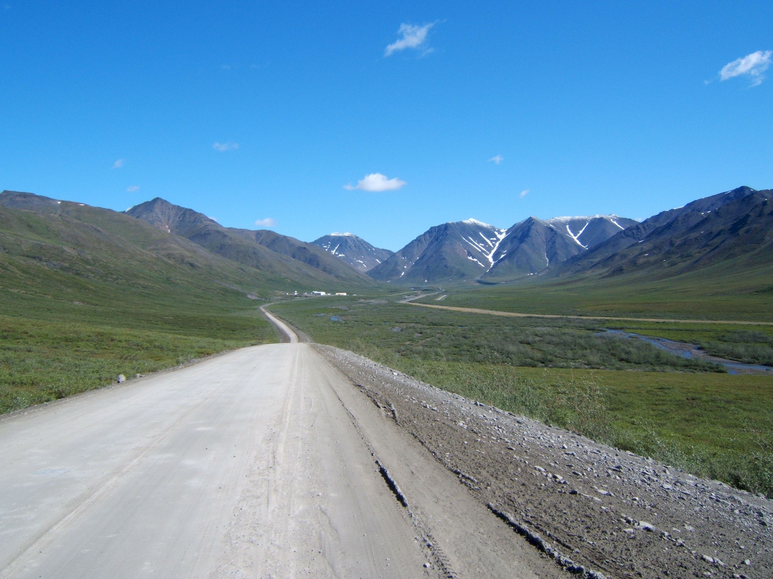
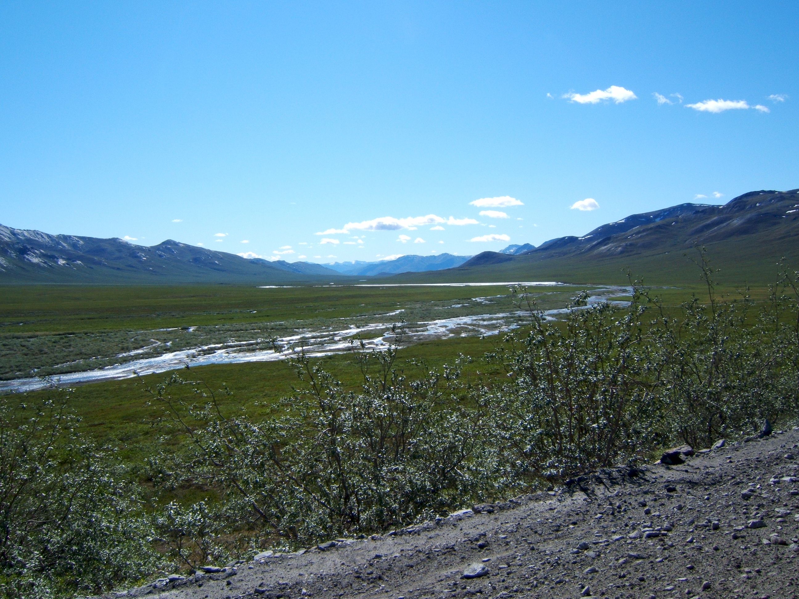
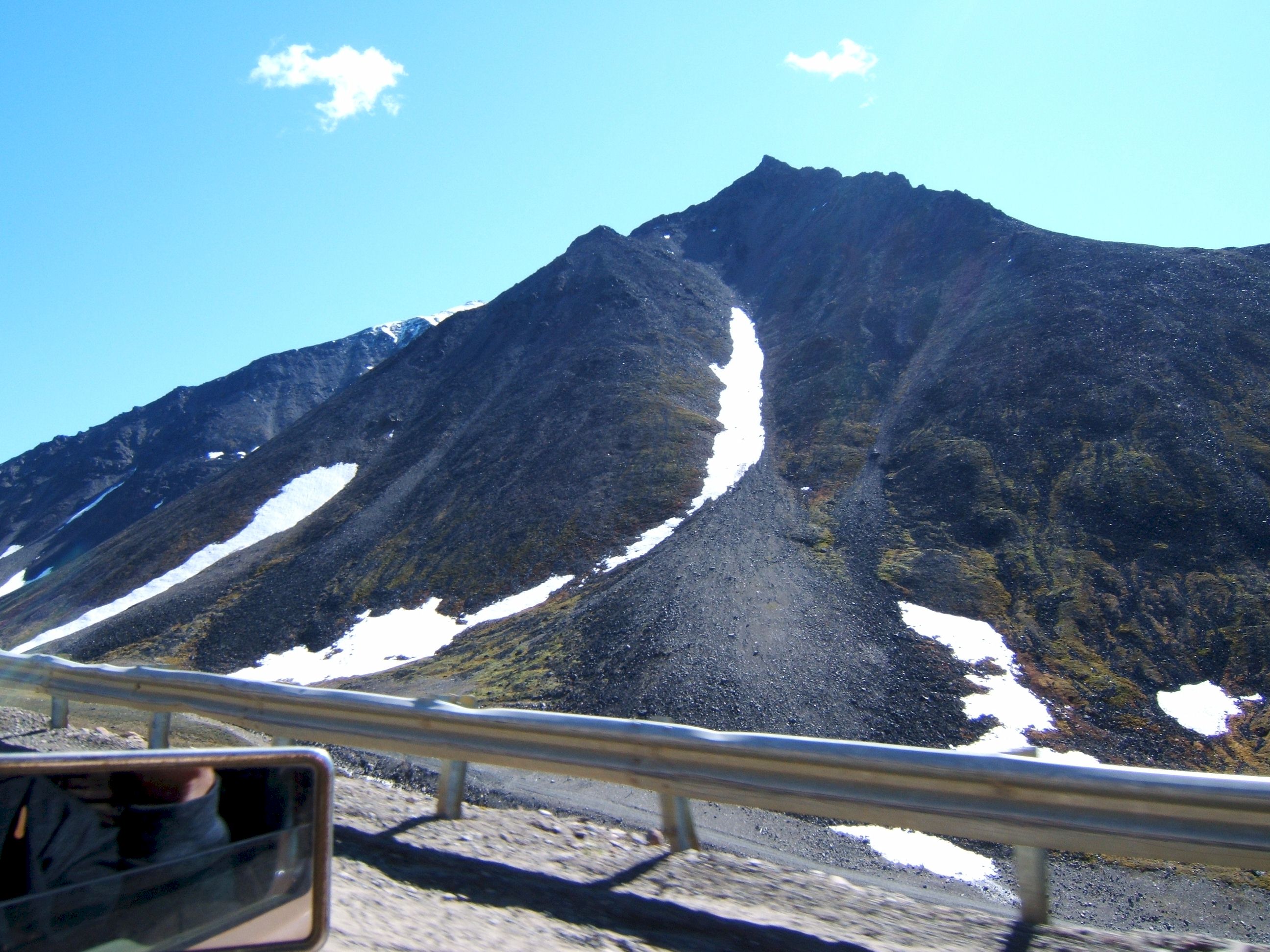
The views were spectacular. This area is called the "Chandalar Shelf."
This is the beginning of the Brooks Range of Mountains, and Atigun Pass. Most people sounded alarmed when they learned we would be driving over Atigun Pass, but I did not find it particularly difficult. The pass is at an elevation of 4732 feet.
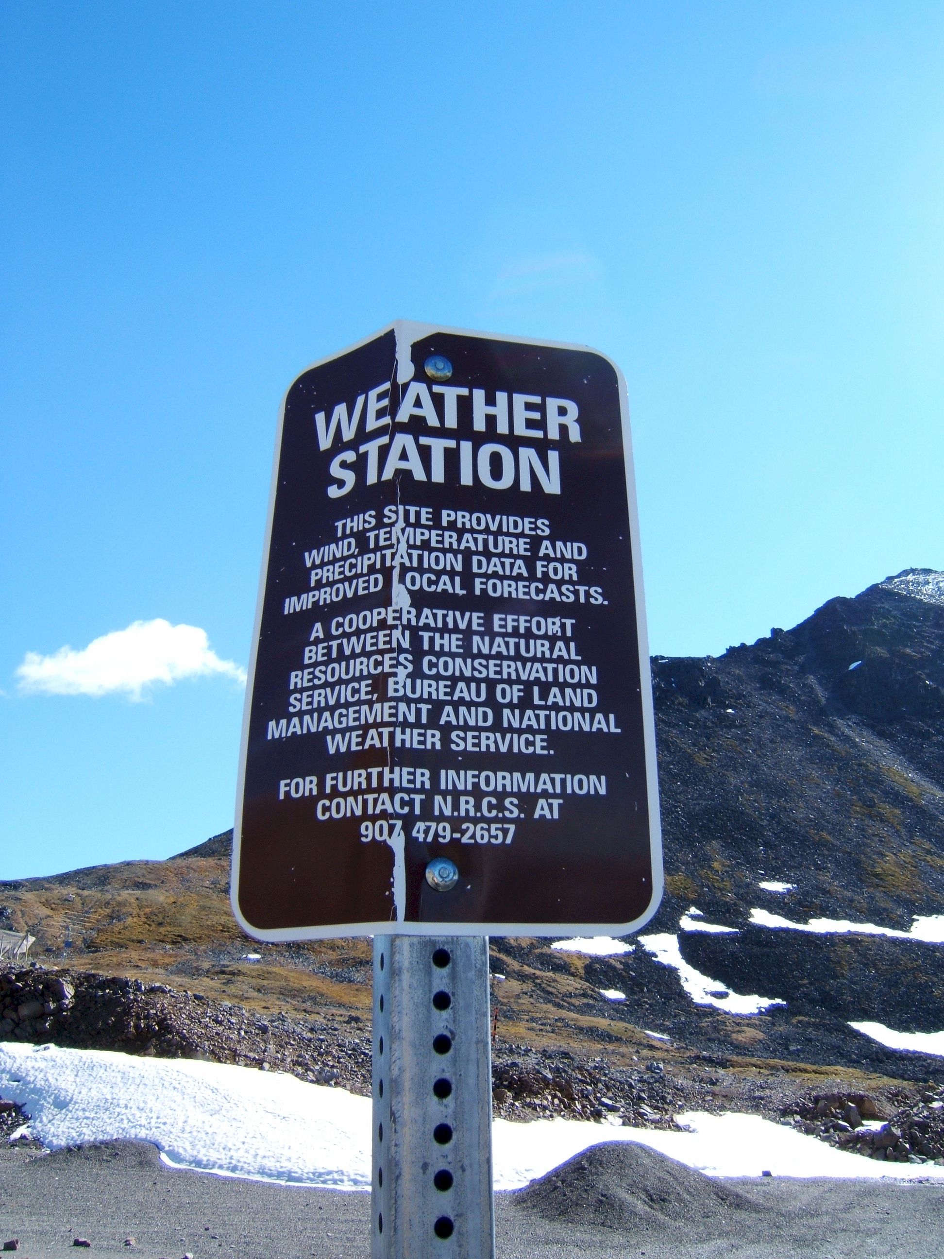
On the far right there is a wind sock to indicate the speed and direction of the wind. Sometimes in winter this area is treacherous. But today the weather is sunny and warm with almost no wind.
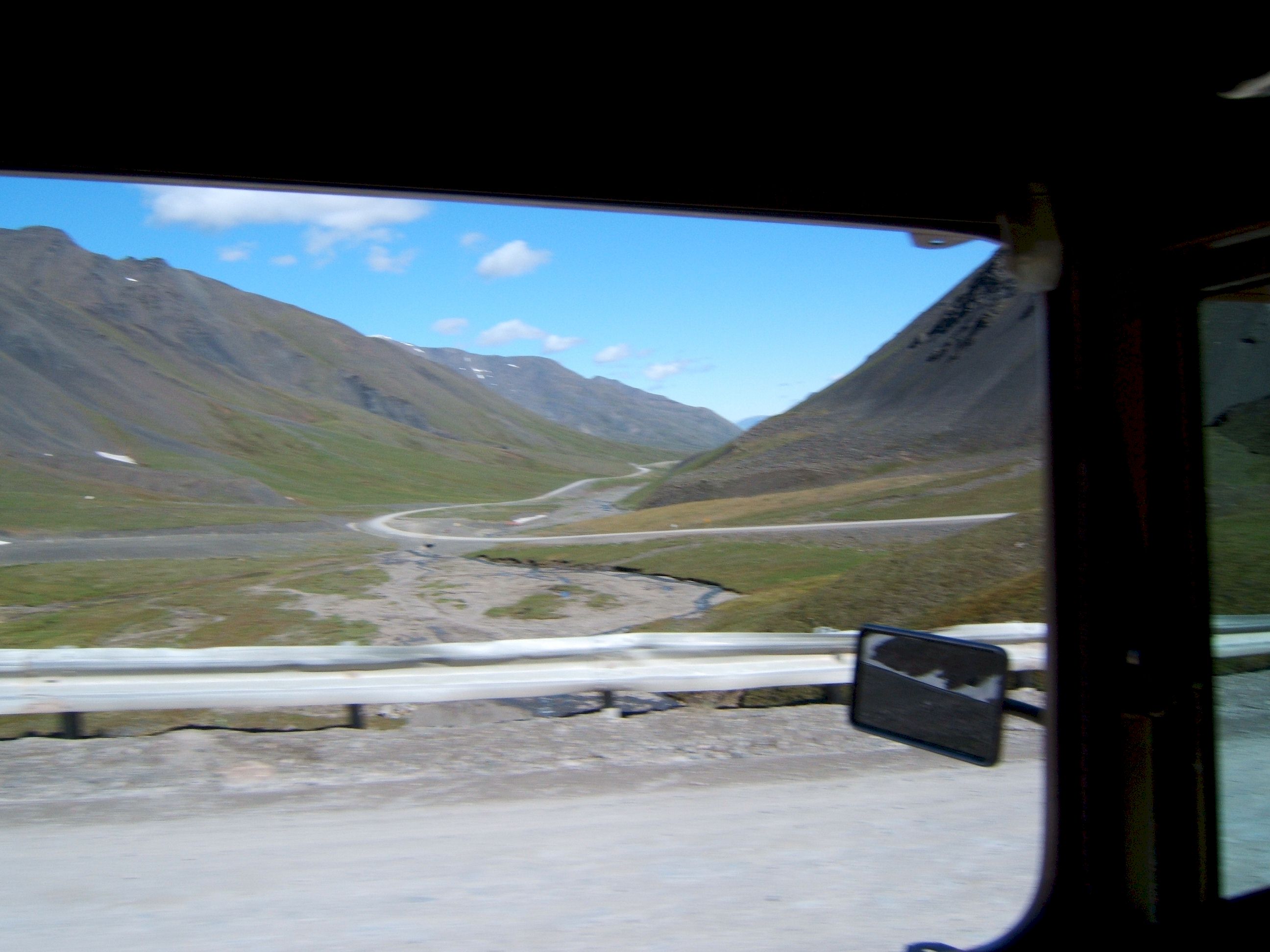
This view is from the road on the way up to the top of the pass looking back south at the way we came.
There was not much snow in the mountains.
This truck went roaring by with a short blast from his air horn. Notice the dust cloud. I am glad there is not much traffic, it would be bad if we had to drive in that dust all the time.
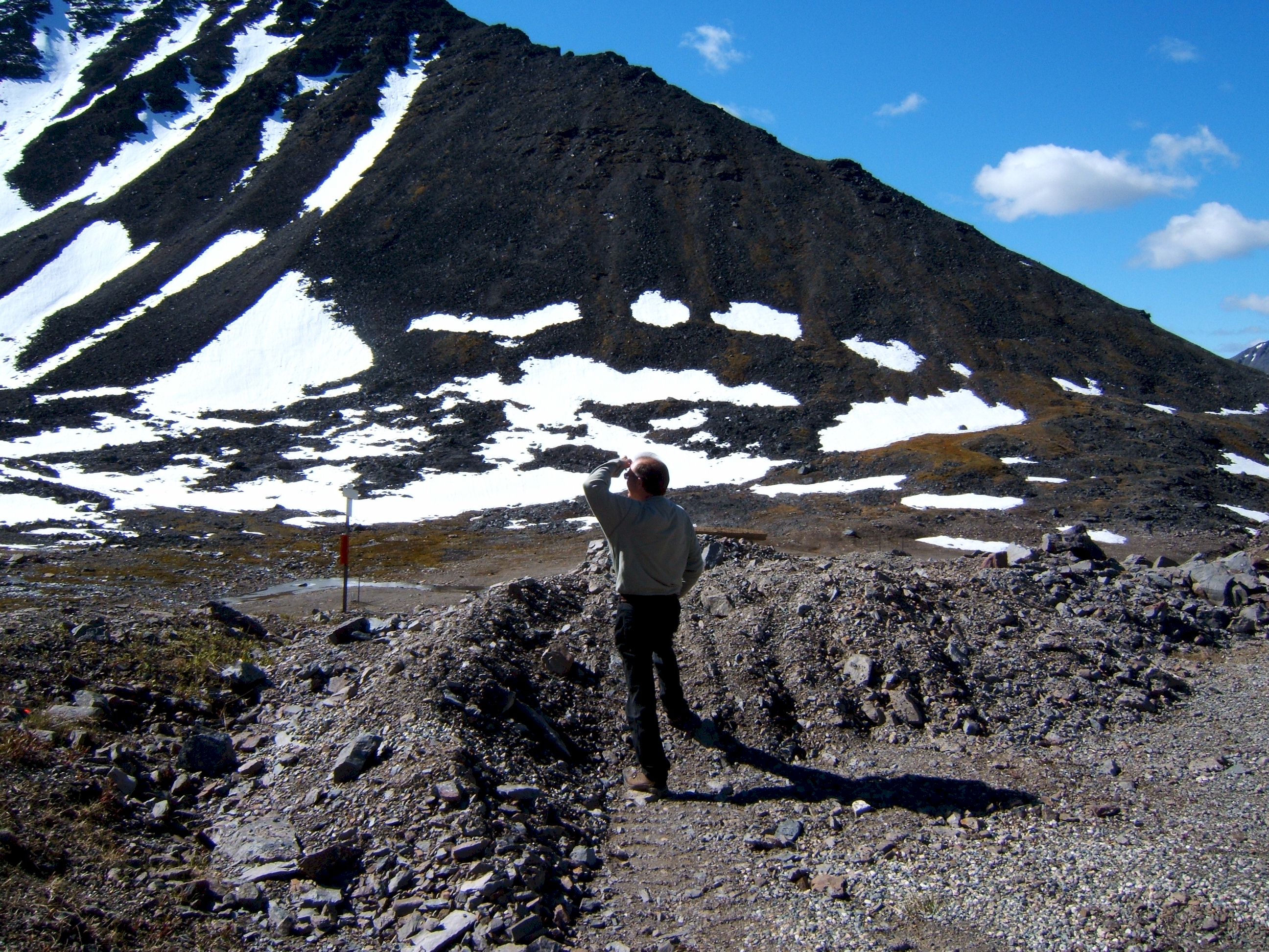
We took a short break at the top of the pass, I looked at the mountain for Dahl Sheep, but did not see any.
The car blends in with the brown rock of the mountain.
Weather station sign, there was a small building there.
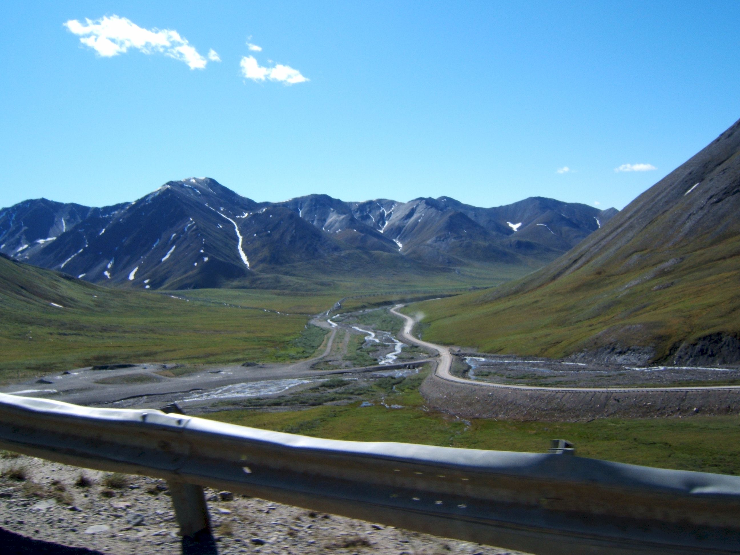
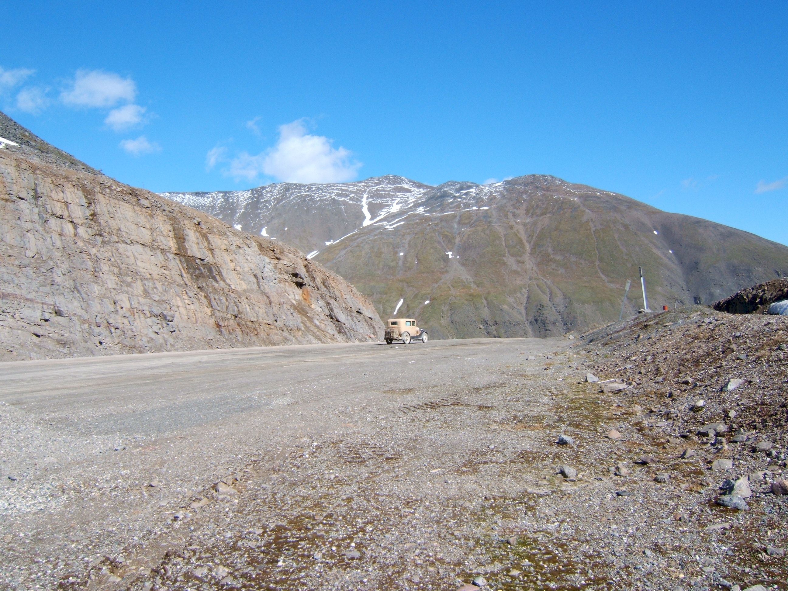
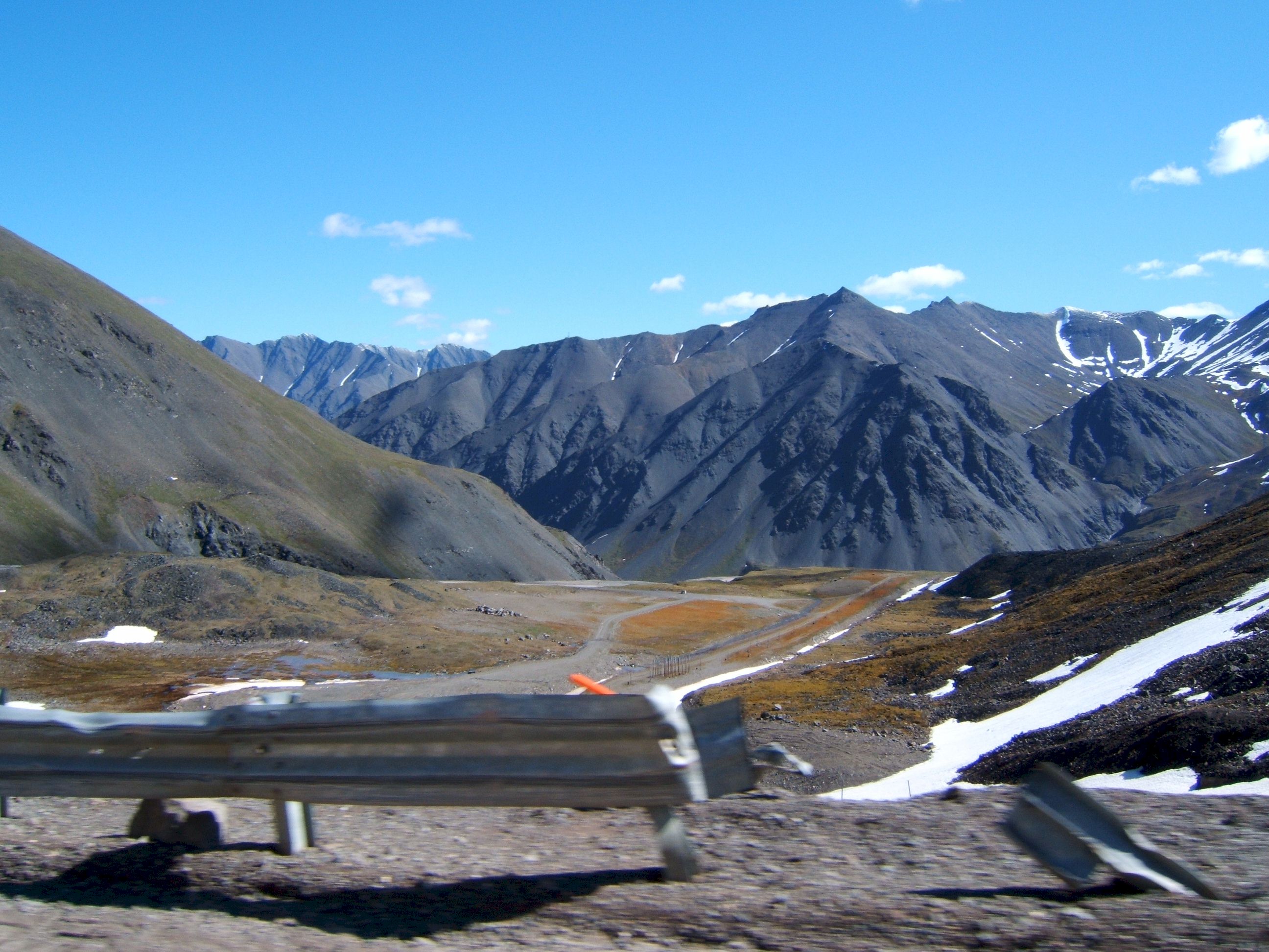
This is a view north after leaving the top of the pass. Notice the broken guard rail, I am happy my brakes were in good condition.
Another view north from Atigun Pass, we are almost down the mountain. The north side is the steepest.
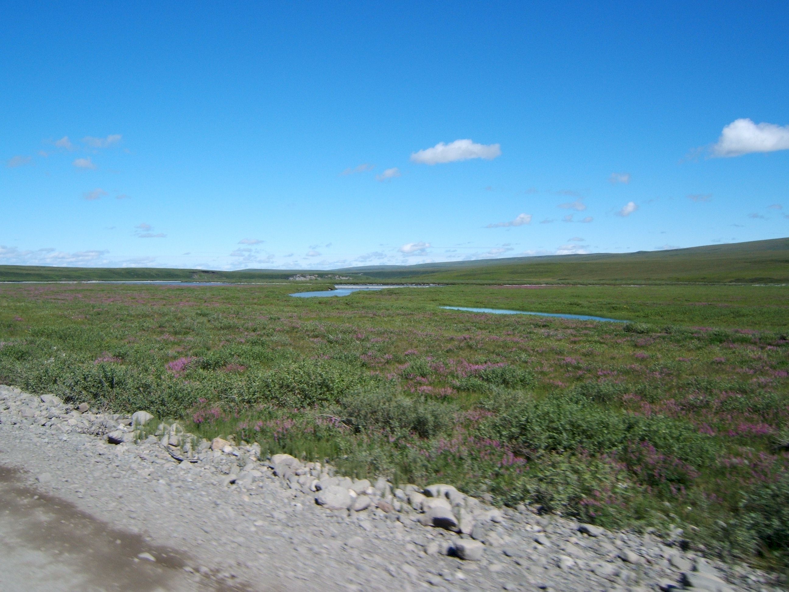
This view was breath taking, the oil pipeline is on the left. Maybe global warming will make these places more livable someday.
The blue water and blue sky, make the lush green tundra and white clouds stand out and say, look at me.
I sure wish this was a warmer climate in the winter, I would live here in a minute.
Here we are north of the arctic circle and there are pretty flowers everywhere.
Its time to fill up with the extra gas. I am not out yet, but this was a wide spot in the road and seemed a safe place to fill up. I put in one five gallon can. I have driven 179 miles from the last gas station in Coldfoot.
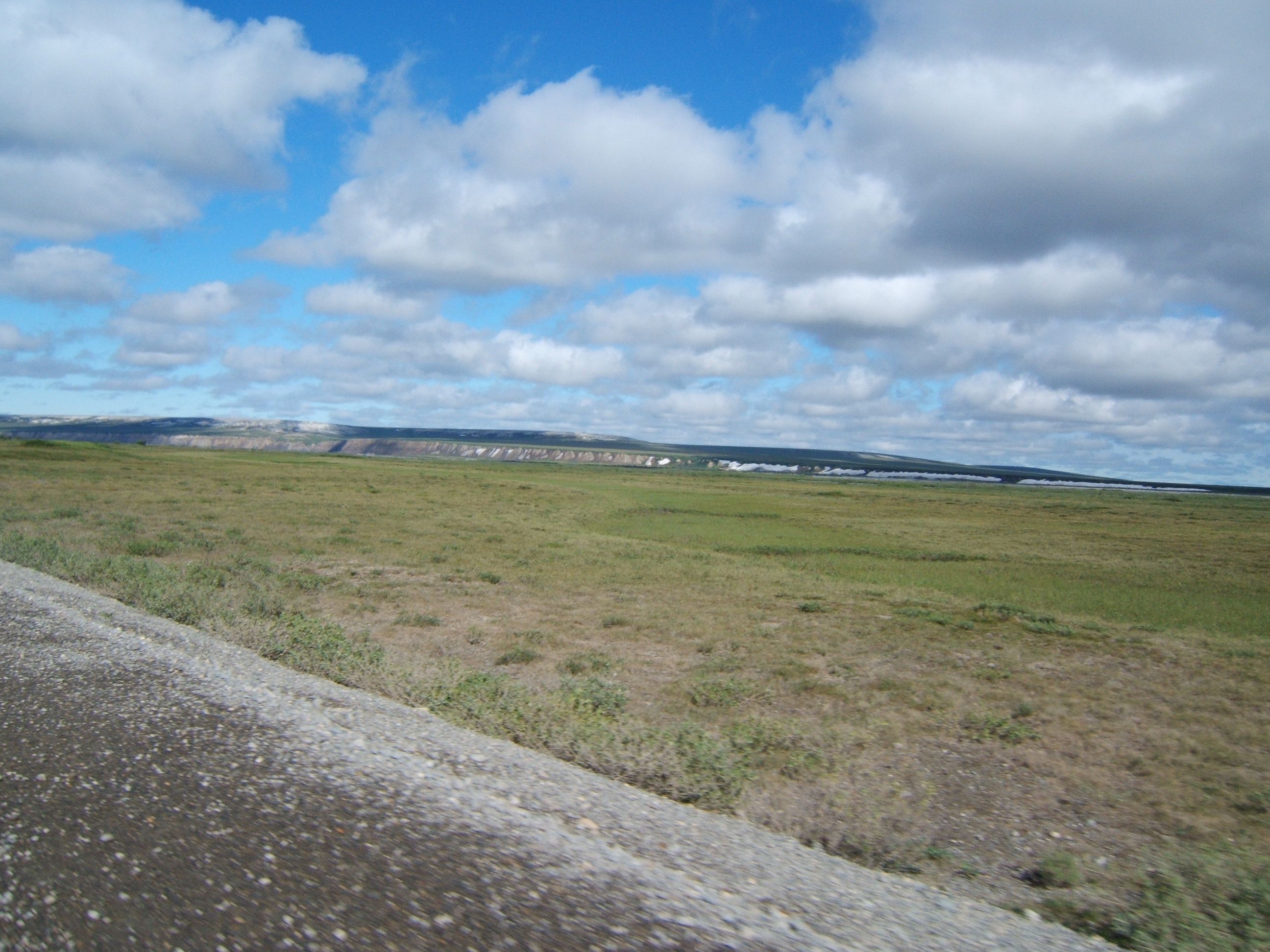
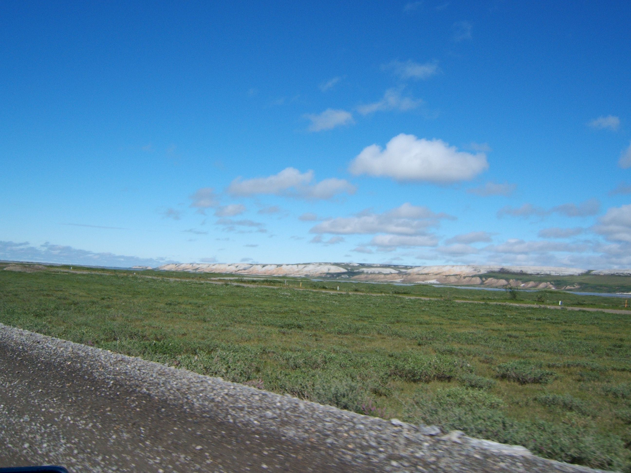
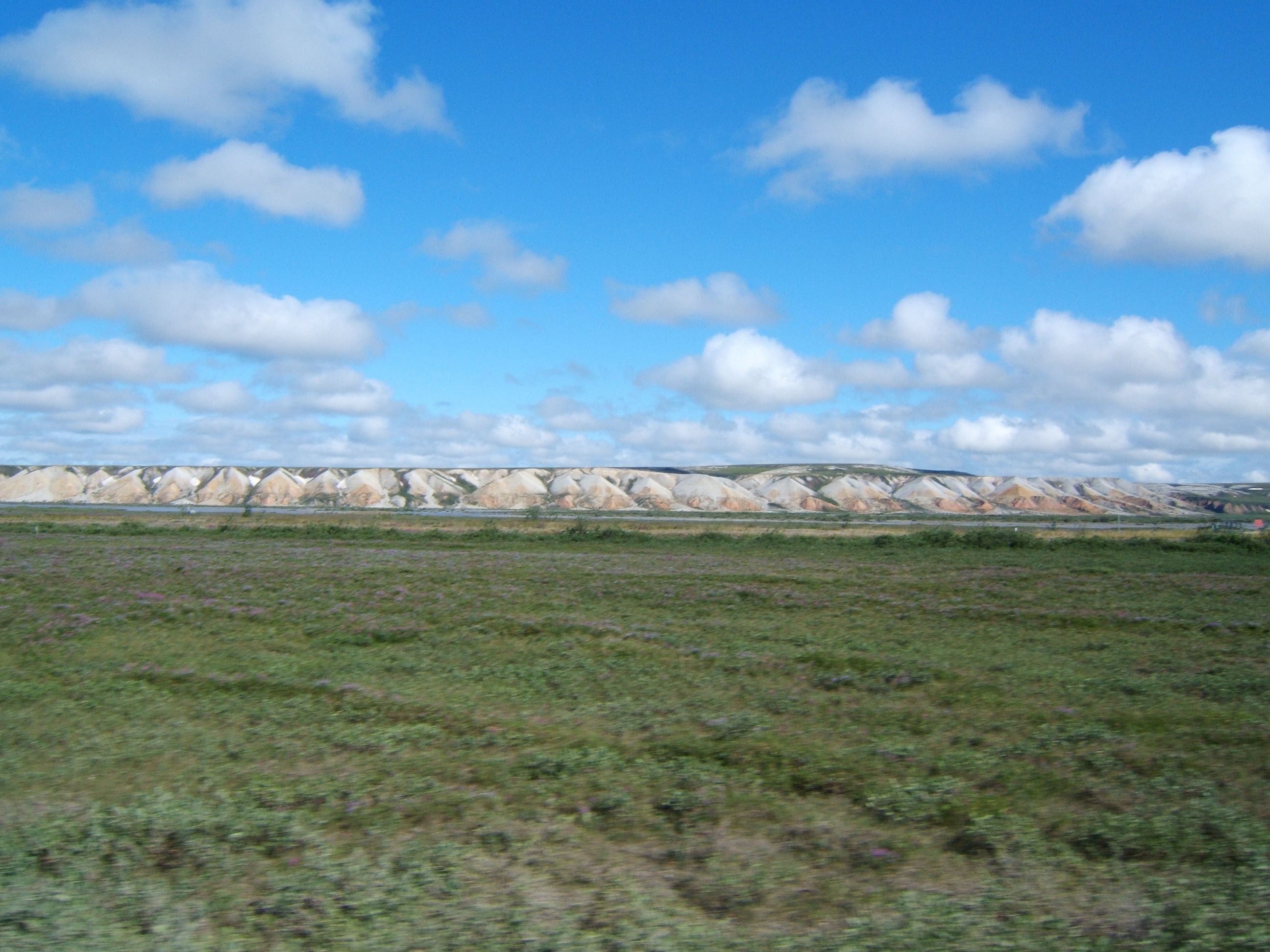
The terrain was flat except for the bluffs on the right.
The bluffs are pink in color. They must be full of minerals.
These bluffs are called Franklin Bluffs. There was a pipeline camp in this area back in the nineteen seventies.
As we got closer to Deadhorse, we drove on this dark and wet roadway. The pipeline Co. puts a chemical and water down on the road to keep the dust down, it made a mess on the car.
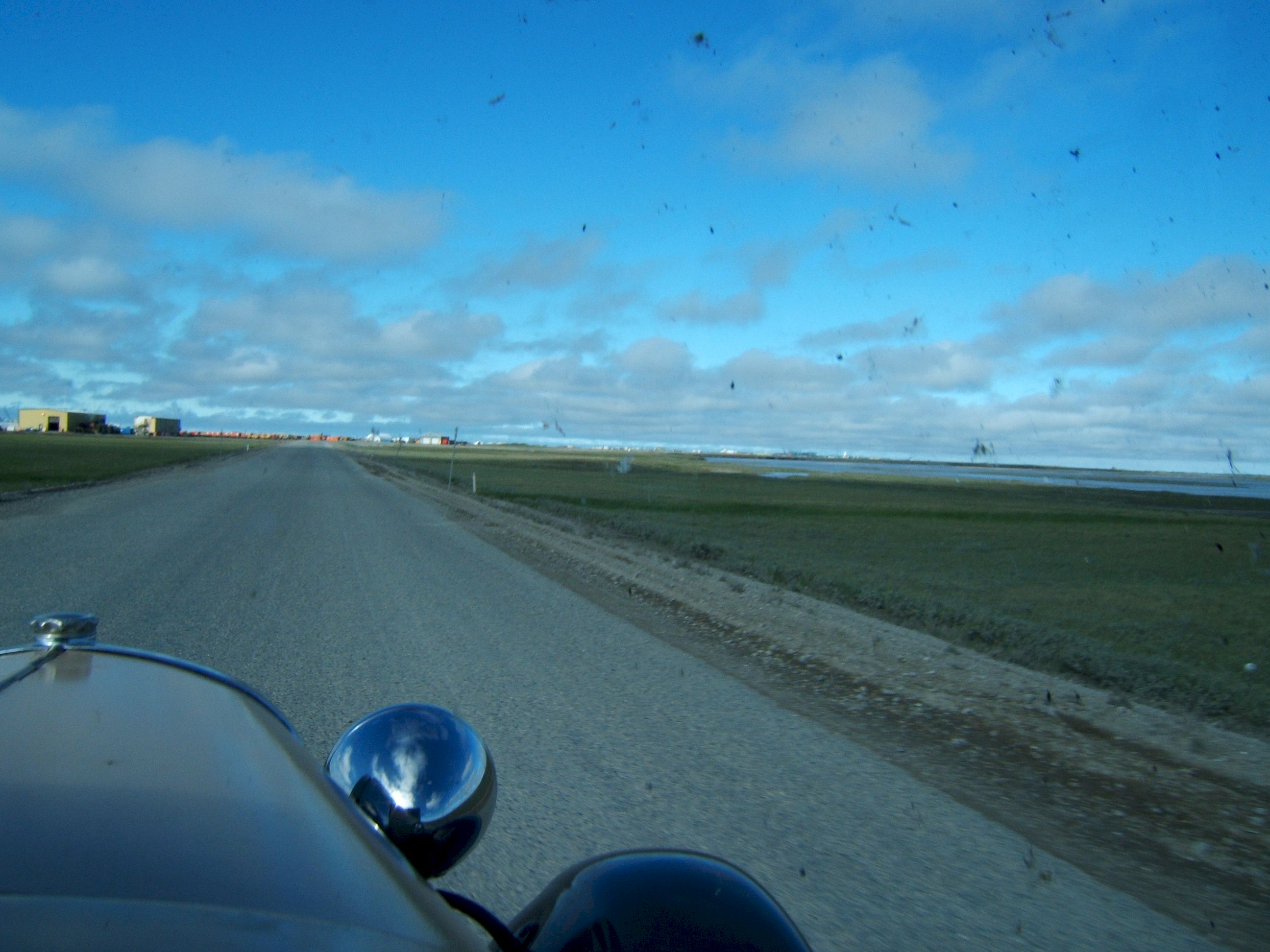
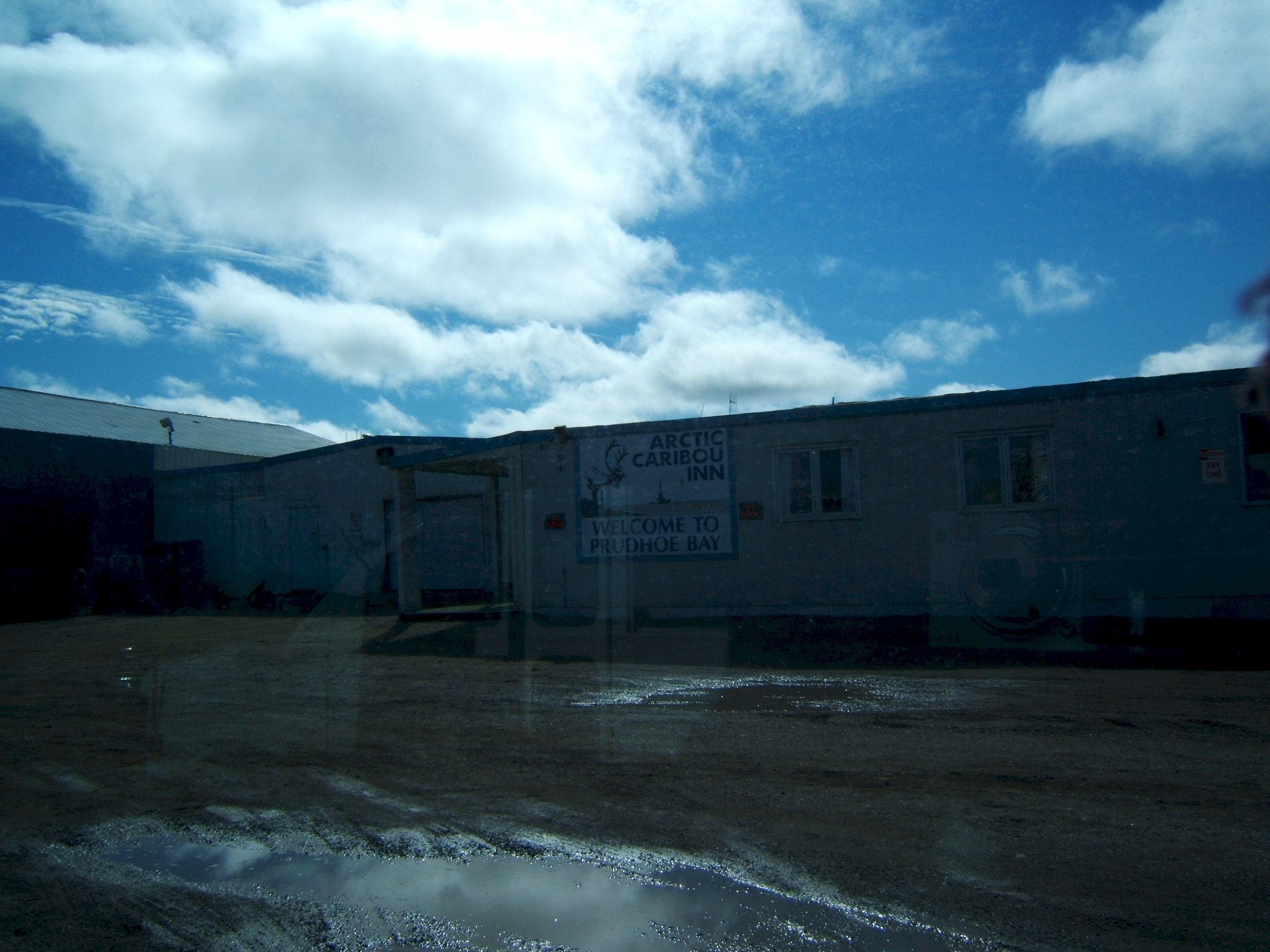
As we near Deadhorse buildings appear.
The land is almost flat in this area, I could not see these building until we got very close.
This picture was taken through the windshield and into the sun. It is of the Hotel we stayed in at Deadhorse, the Arctic Caribou Inn. We did not know the good Hotel is the Prudhoe Bay Hotel, just a half mile down the road. Patty did not eat here, I'll eat anything and had a huge meal. It was not that good.
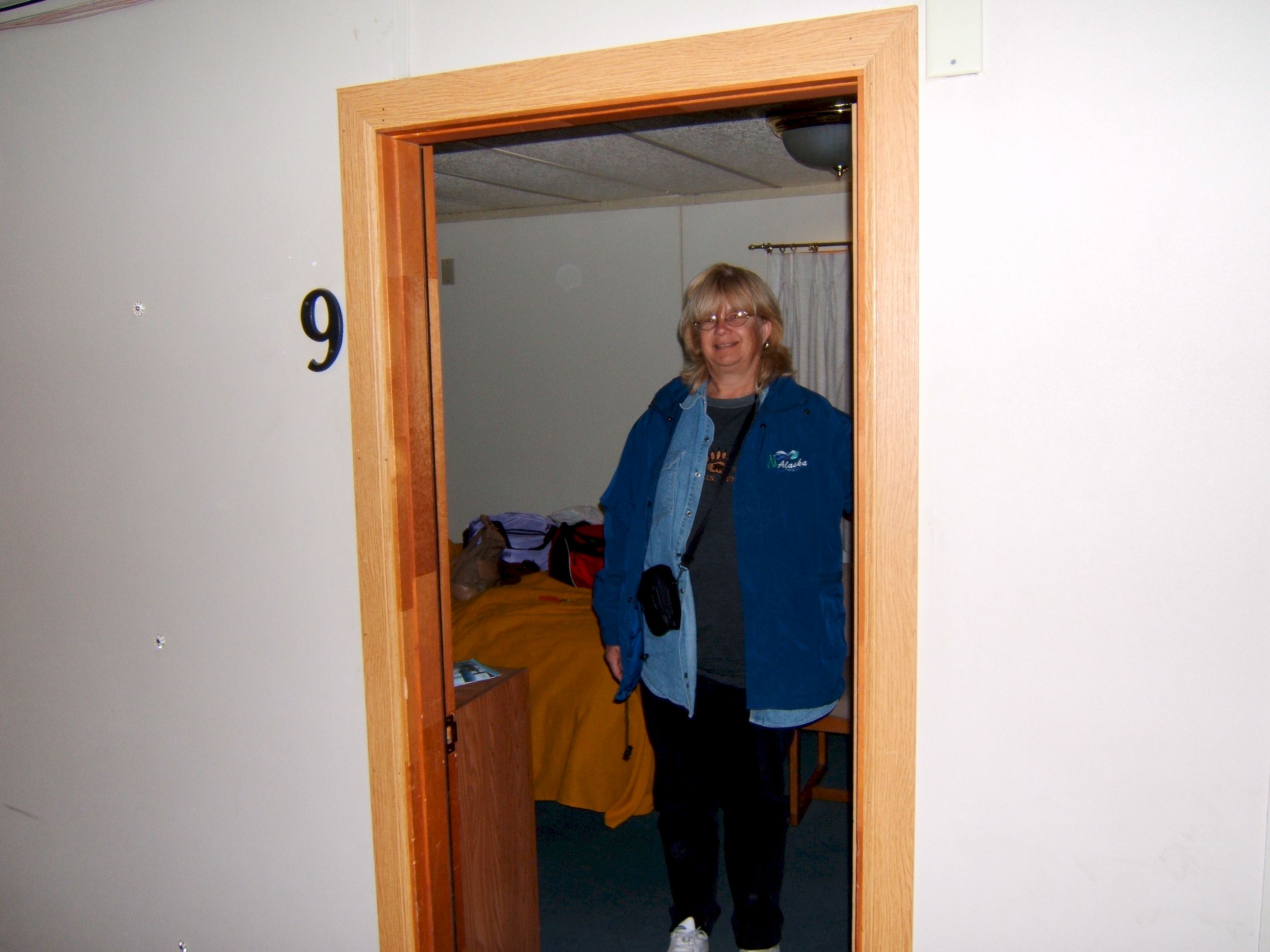
Patty is happy to have a place to rest, even if it is another pipeline camp.
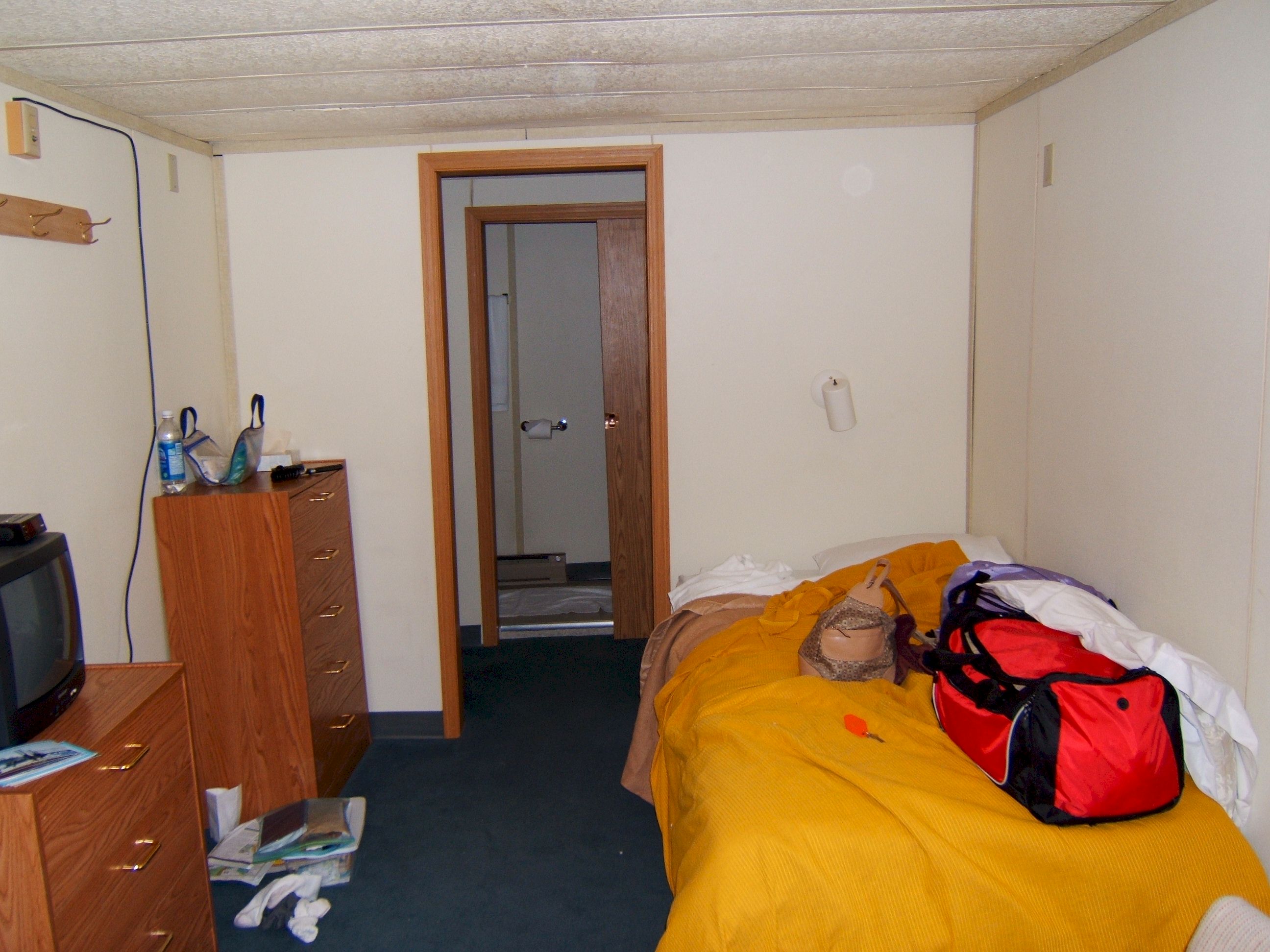
It looks like we have moved in already. All the rooms are for two workers and have two single beds. We did get some rest, but the sun shined in the window all night. Tomorrow we go to the Arctic Ocean. Then we drive back the same way we came.
|