|
Alaska Trip 2006
Week 4 Day 23
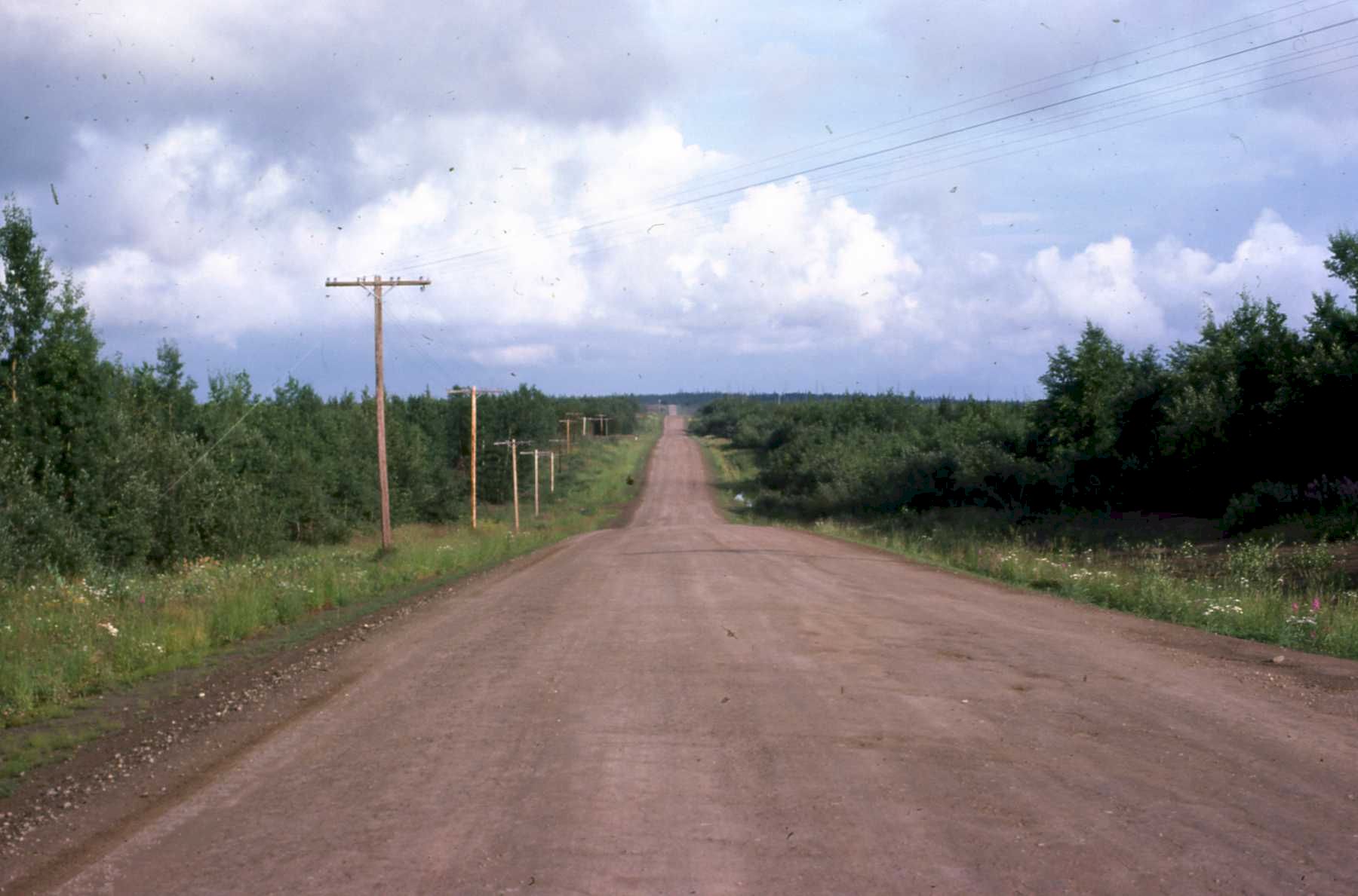
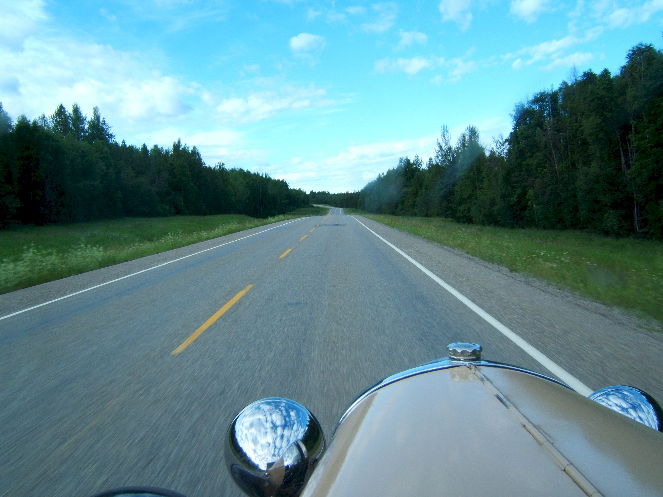
Sunday July 9, I drove 598 miles from Ft. Nelson N58 48.152 W122 41.161 to Quesnel N52 58.856 W122 29.802 This is an example of a good section of the road in 1975. It was not as bad as some people claimed. I have never gotten a flat tire on the road, but I have had windshields pitted from rocks. The road is now paved.
This picture looks like a lot of the scenery along the road from Ft. Nelson on the way south.
I stopped for the night in a light rain in Quesnel and stayed at a Best Western Hotel.
Day 24
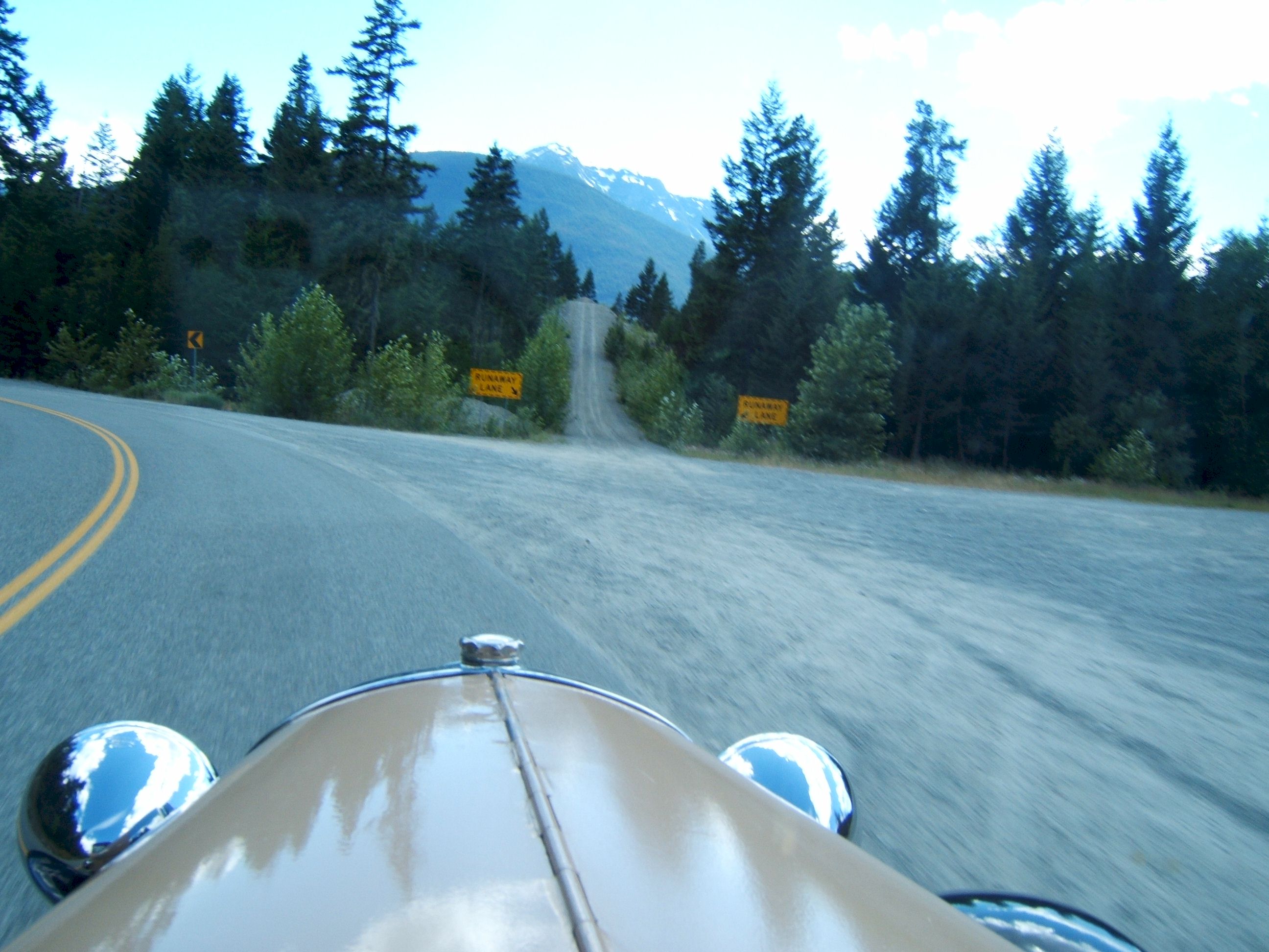
Monday July 24, I drove 425 miles from Quesnel N52 58.856 W122 29.802 to Departure Bay, Vancouver Island N49 10.391 W123 56.607 This road going toward Vancouver was steep. Notice the truck runoff on the right. If my brakes failed I could have used it.
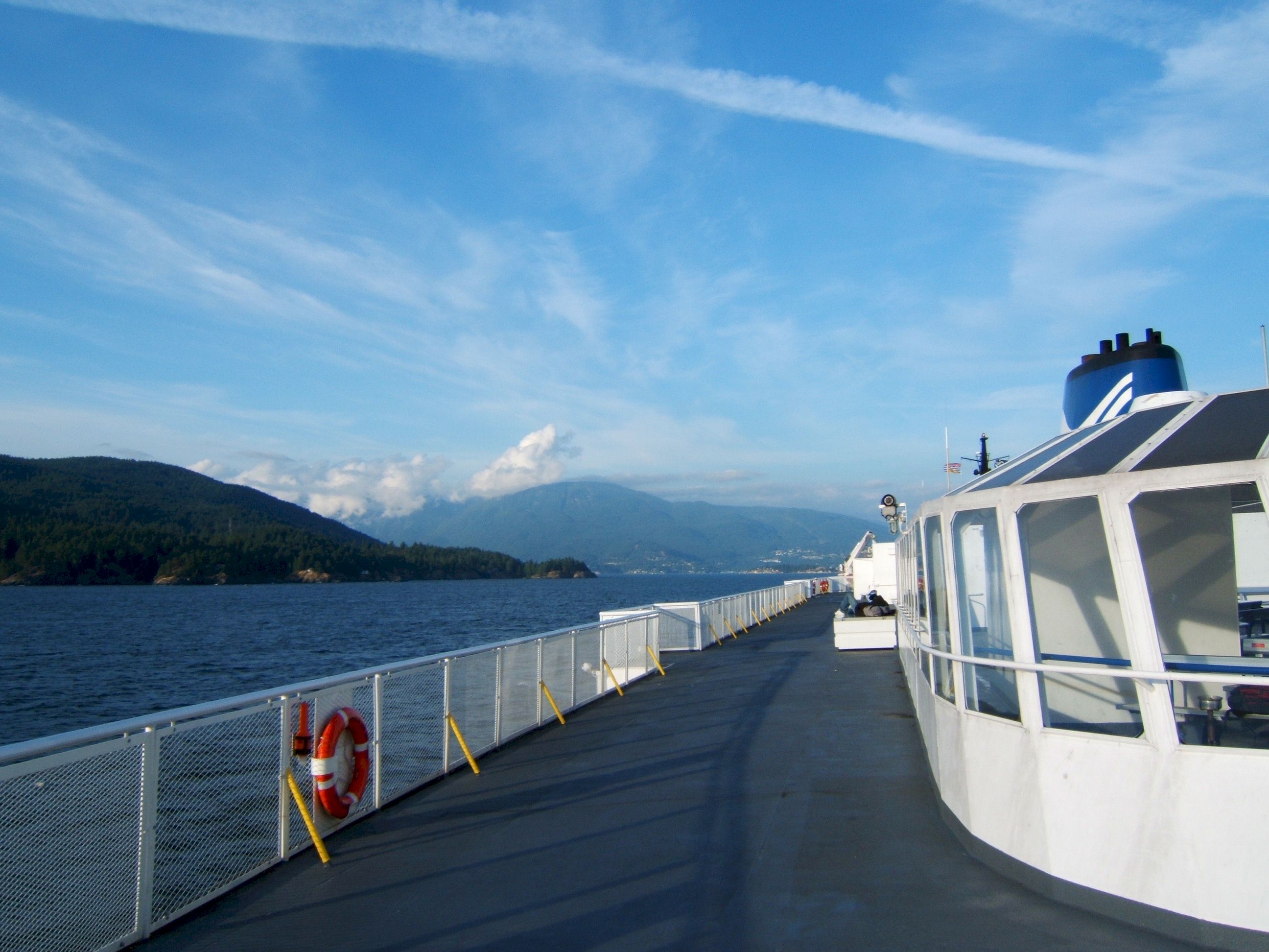
I took a ferry to Vancouver Island.
I found a Motel near the ferry landing where I spent the night. I had a great Salmon dinner onboard the ferry.
Day 25
Tuesday July 11, I drove 244 miles from Departure Bay, British Columbia N49 10.391 W123 56.607 to Centralia, Washington N46 43.886 W122 58.708
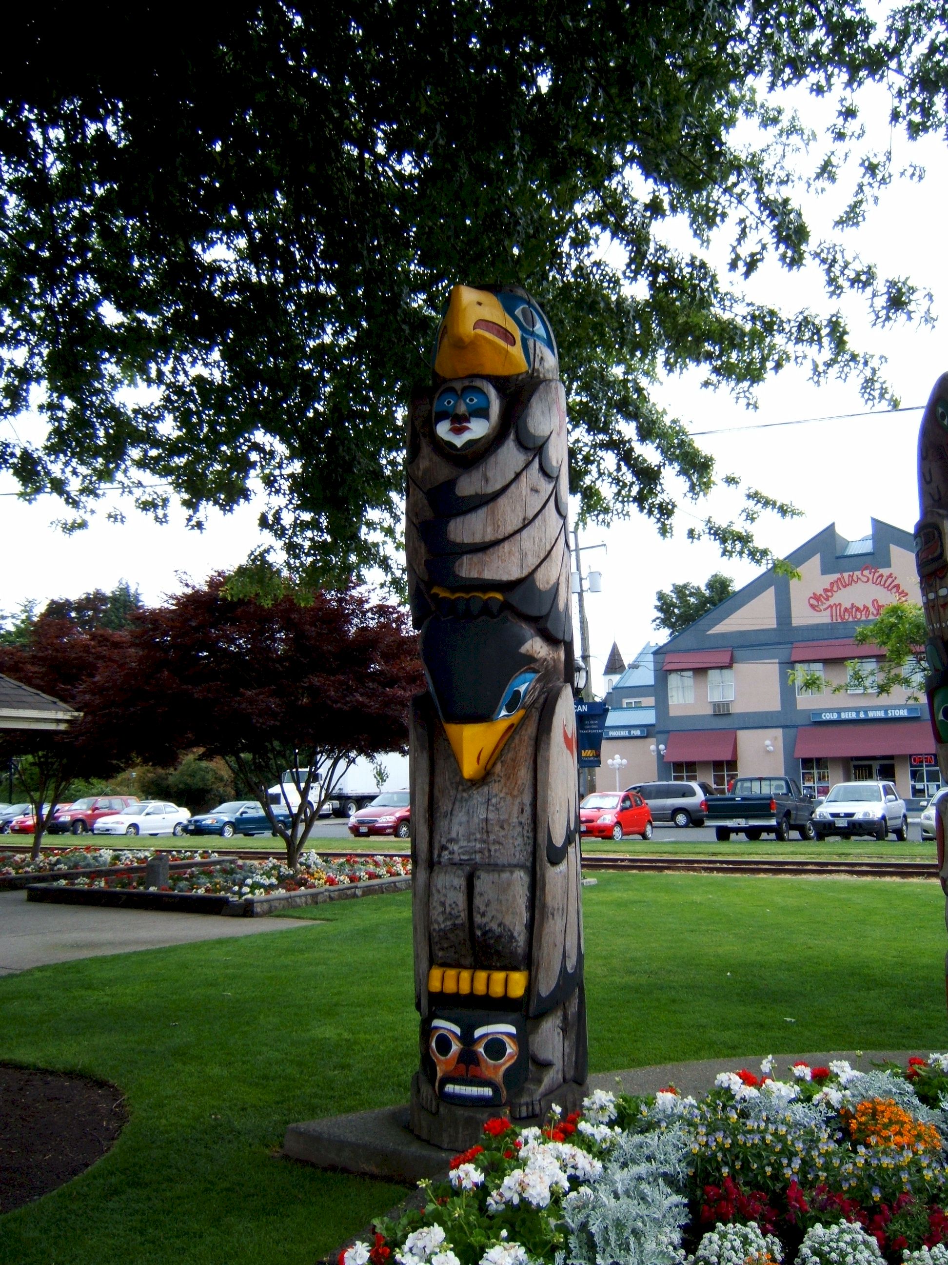
I am now in Duncan, Victoria looking at the totems.
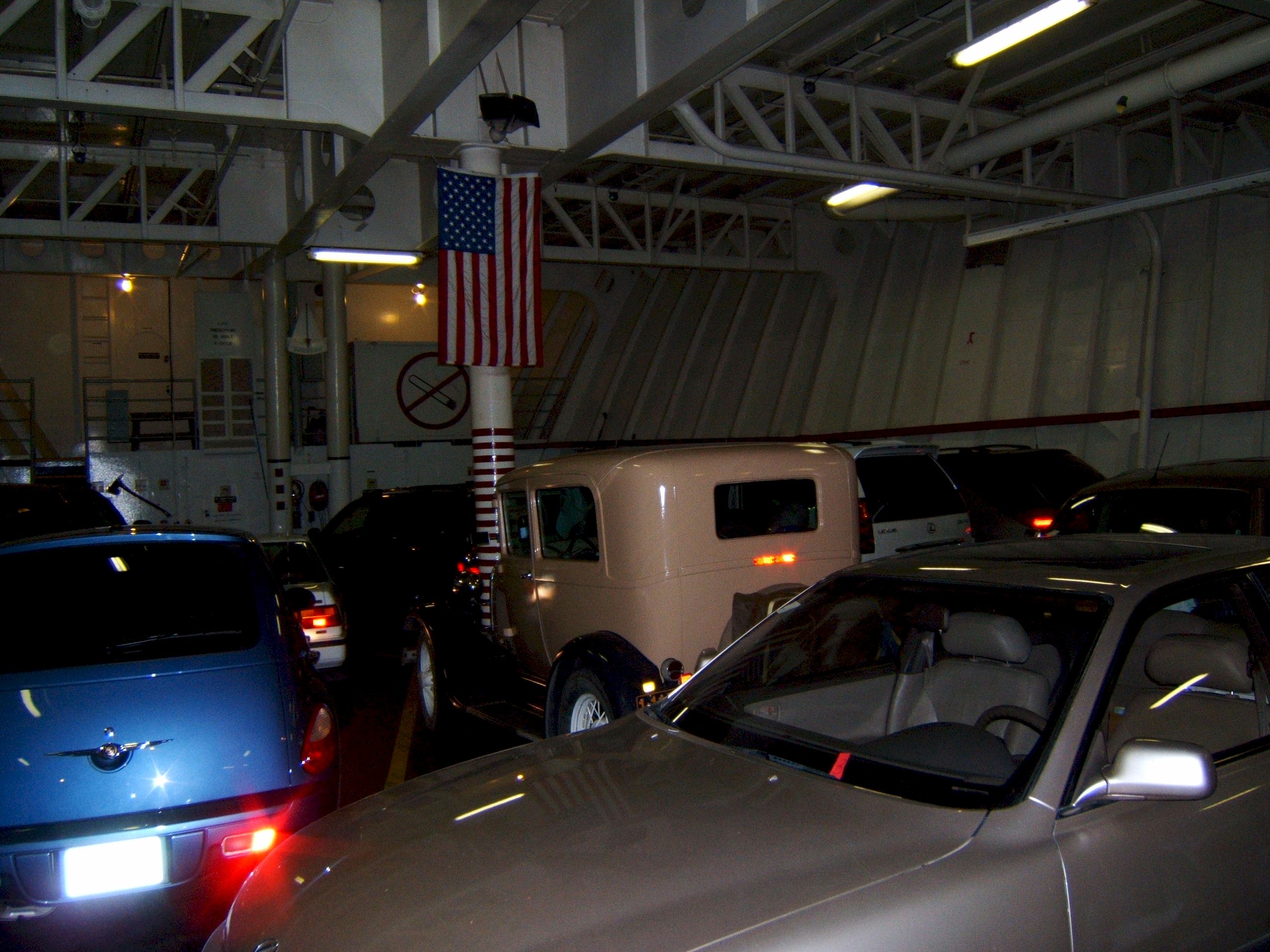
We are packed like sardines in this ferry back to the USA. I traveled on to Centralia, Washington where I found a Motel 6 for the night.
Day 26
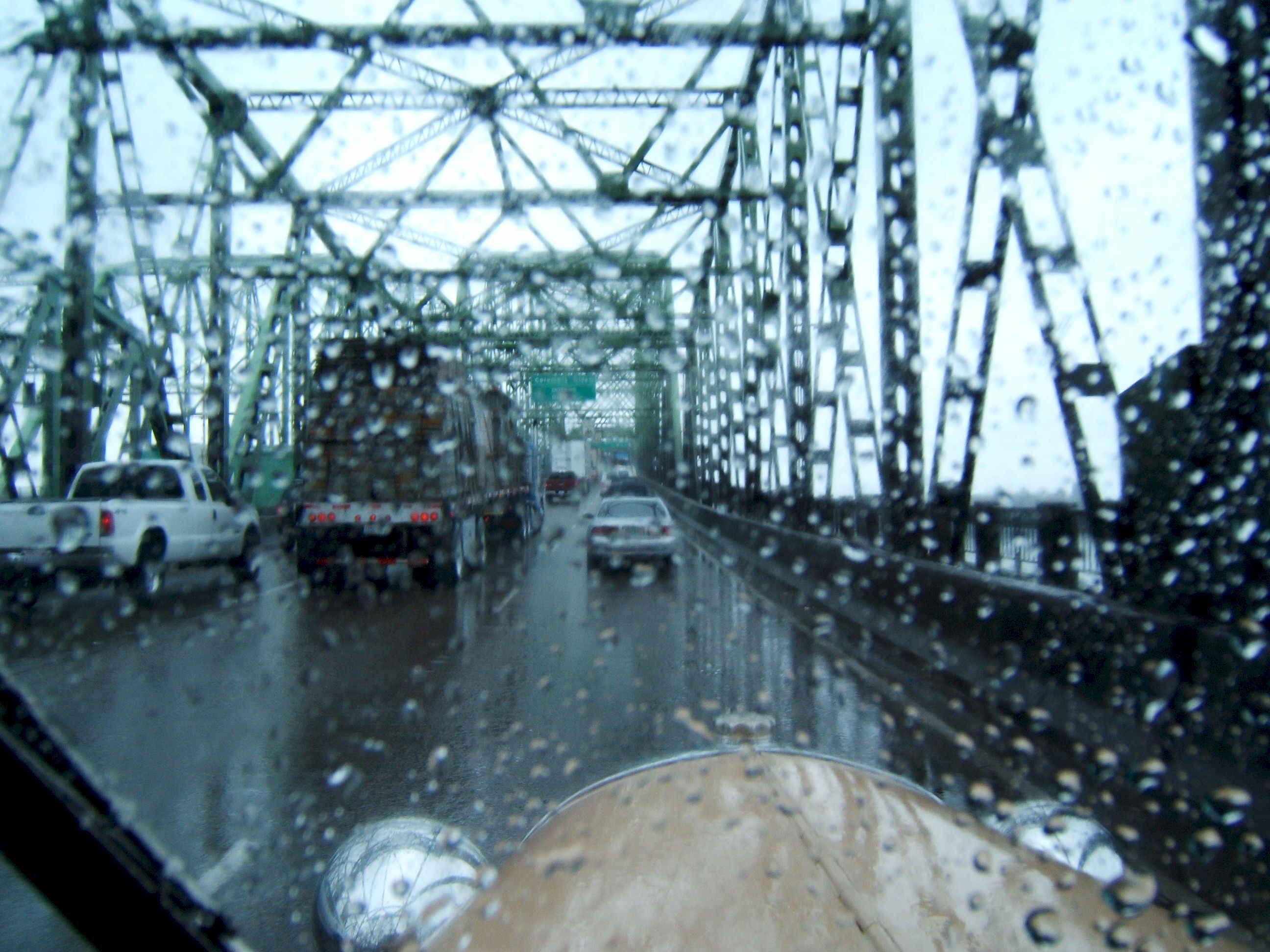
Wednesday July 12, I drove 455 miles from Centralia, Washington N46 43.886 W122 58.708 to Shasta City, California N41 19.272 W122 19.083 I left Centralia in a pouring rain. I could not see very well out of my back or side mirrors, so I stayed in the right lane. The right lane was full of trucks, and they threw up a water spray that made seeing anywhere difficult. I was afraid the windshield wipers would not last until I got to dry roads, but they did. The sign says Portland. This is all I saw of Portland. I did not dare to take my eyes off of the road to look around. By the time I got to Grants Pass the rain had stopped and I continued on to Shasta City where I once again put up the tent in a KOA for the night.
Day 27
Thursday July13, I drove 334 miles from Shasta City, N41 19.272 W122 19.083 to South Sacramento, California N38 28.515 W121 25.040
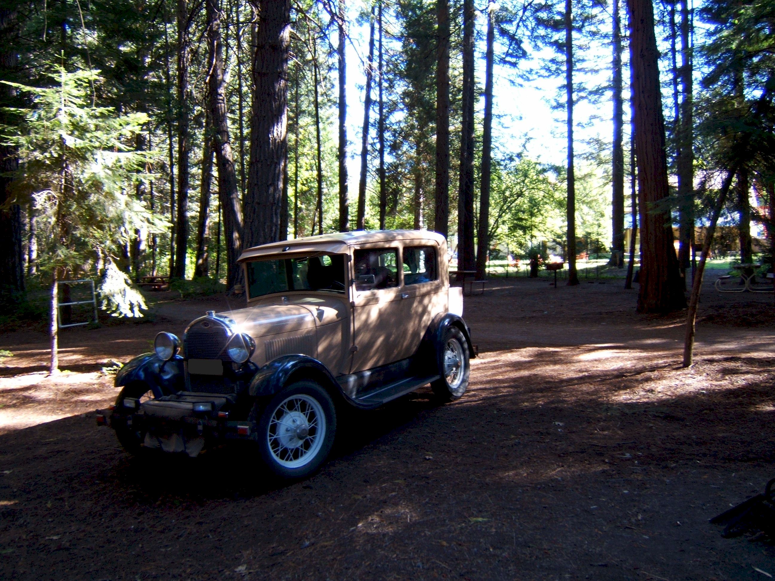
This Shasta City KOA was a nice park, quiet and within walking distance of town.
Leaving Shasta City behind. I continued on into the ever increasing heat of Redding and Sacramento. I stopped and looked at Sacramento's Old Town area. Then drove on a little farther south where I got a room at a Motel 6.
Day 28
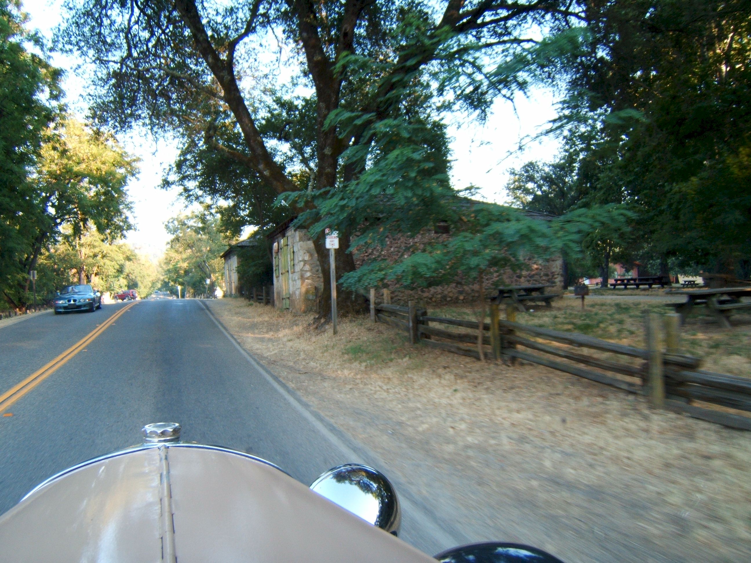
Friday July 14, I drove 160 miles from South Sacramento N38 28.515 W121 25.040 to Fresno N36 49.443 W119 47.032 This picture is from Sutter's Mill area east of Sacramento. The heat driving into Fresno was not enjoyable. I stopped a couple of times to let the engine cool down, this did not do much good as the air temperature was well over one hundred degrees. When I got to Fresno I got a motel with air conditioning and took a nap.
Day 29
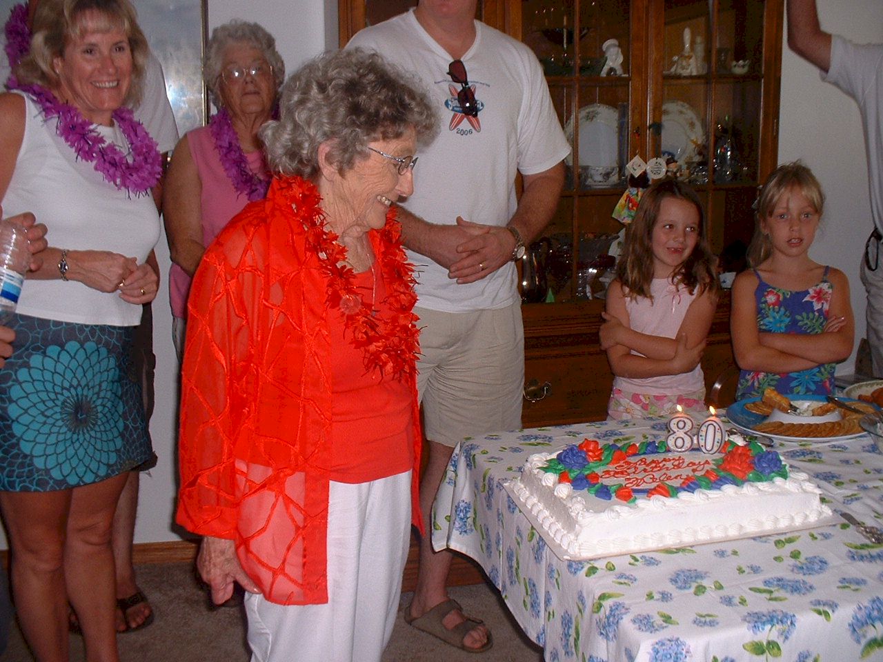
Saturday July 15, after spending all day in Fresno, I began a night drive at 10:30pm from Fresno N36 49.443 W119 47.032 to Jamul N32 44.138 W116 53.345 I stopped in Fresno for my wife's Aunt's 80th birthday party.
Day 30
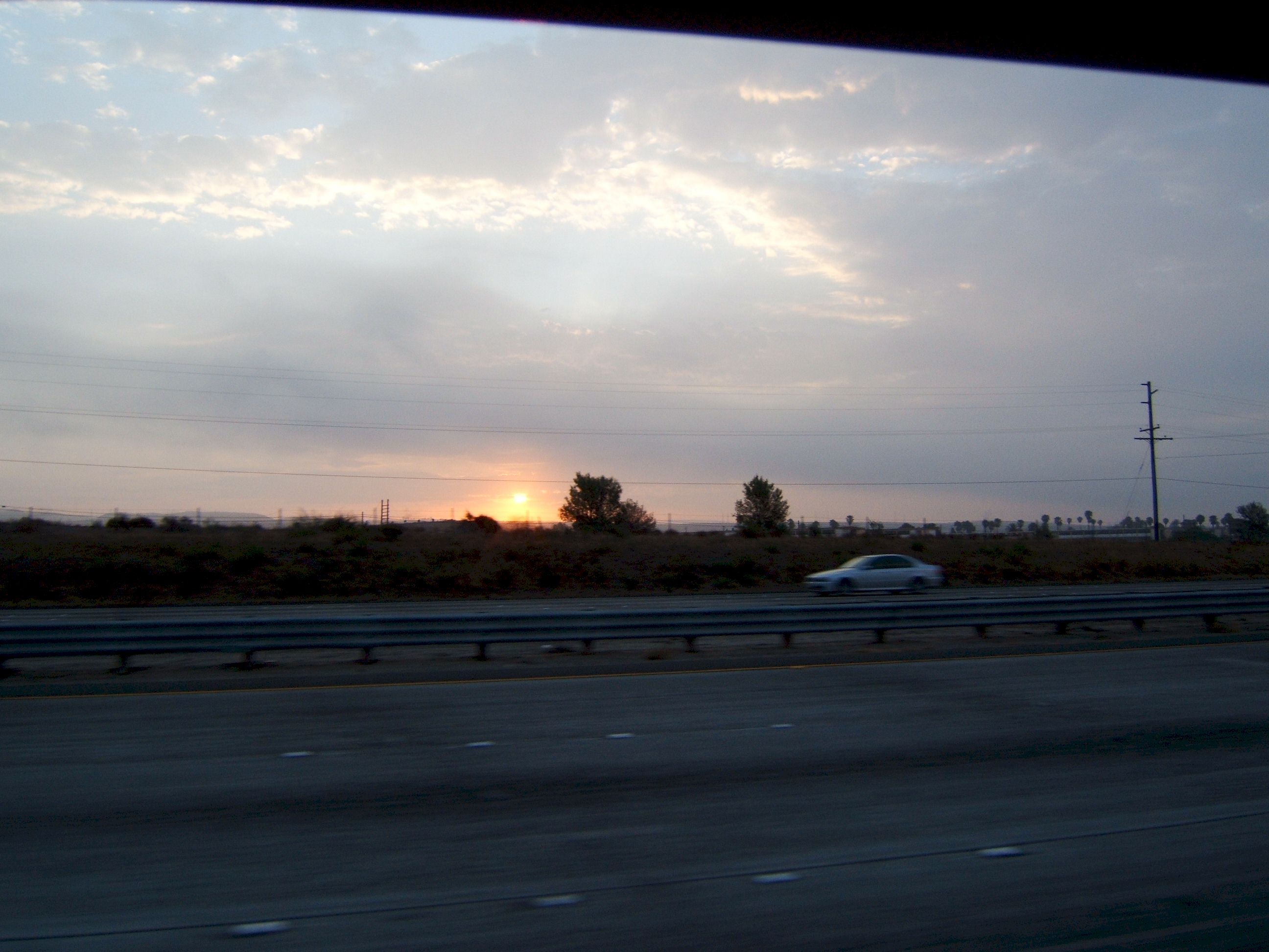
Sunday morning July 16, I drove 416 miles, and completed my all night drive from Fresno N36 49.443 W119 47.032 to Jamul N32 44.138 W116 53.345 arriving in Jamul where I started thirty days ago, at 7:45am.
The end of a good trip.
|