|
Alaska Trip 2006 Week 2
Day 9
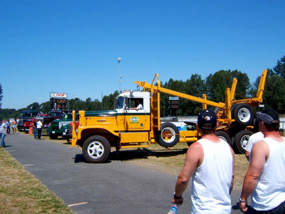
Sunday June 25, we drove 189 miles from Lynden, Washington N48 57.514 W122 25.397 to Cache Creek, British Columbia, N50 48.796 W121 19.608. When we stopped at the Canadian border crossing, after checking our ID and car registration, the Border Guard asked if we were going to Mission Speedway. He recommended that we stop there, just across the river bridge. He said there were a lot of old trucks crossing the border going there, and he thought we might like it. We did as he suggested and found the speedway. They were drag racing logging trucks. There was also a good display of old trucks in the infield.
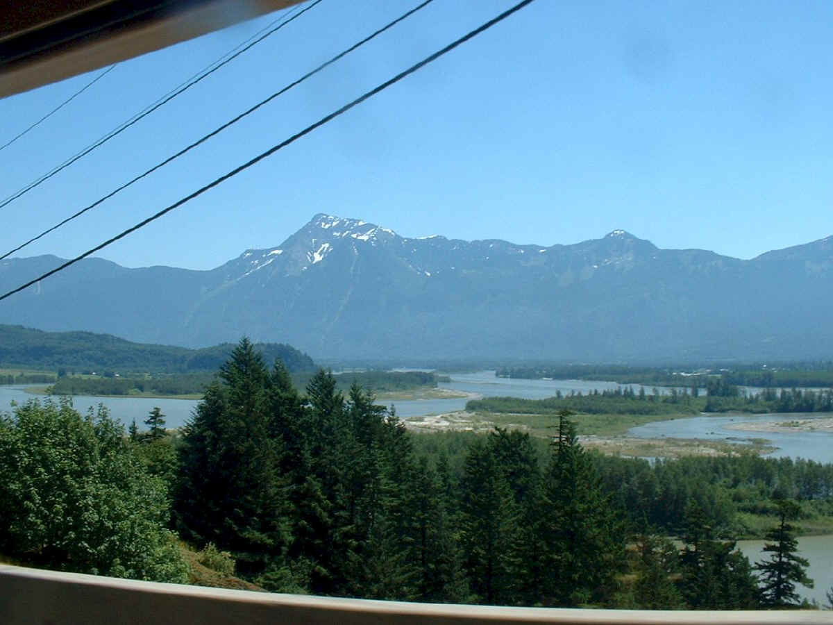
The Mission area of British Columbia is flat and mostly agriculture. This is a river delta we drove along on the way north out of the area.
The weather turned very hot. The car was running as hot as it could without boiling over as we climbed up the mountain to Cache Creek. No camping tonight. We found a good roadside Motel with air conditioning.
Day 10
Monday June 26, we drove 396 miles from Cache Creek, N50 48.796 W121 19.608 to Burns Lake, N54 12.576 W125 41.473. We are now on Highway 16, going west out of Pr. George. When we arrived in Burnes Lake we once again found a KOA, and put the tent up in a swarm of mosquitoes.
Day 11
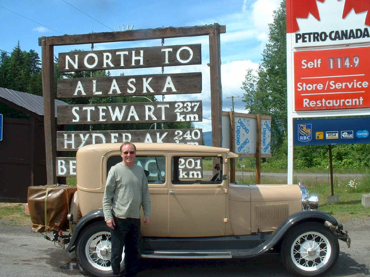
Tuesday June 27, we drove 317 miles from Burns Lake, British Columbia N54 12.576 W125 41.473 to Hyder, Alaska, N55 54.655 W130 01.265 North from the junction of Highway 16 and 37 at Kitwanga, is the Cassiar Highway. This is a scenic road, and will take us to the little town of Hyder, Alaska, and then north to the ALCAN highway near Watson Lake. Notice the price of gas? It's in liters and is just as expensive as California.
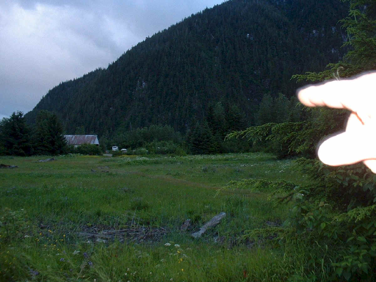
Relax Patty, the Bear went that way. As we were walking back to our Hotel, an animal ran in front of us across the road, it was a bear.
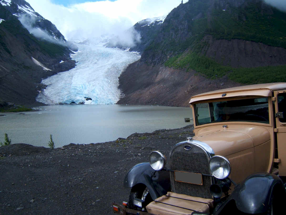
Here we are at Bear glacier. It feels odd for it to be warm and sunny when there is such a mass of ice just a little ways off.
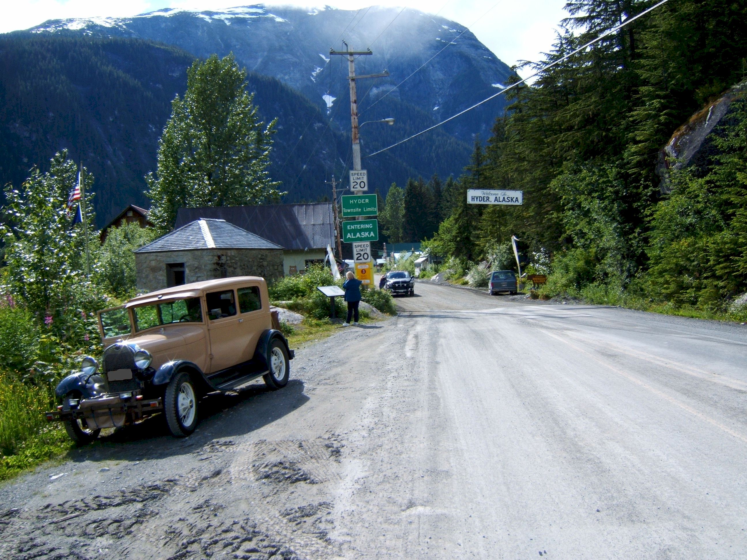
This picture was taken from the Canadian side looking back at Hyder, Alaska. You don't see any border guards here because there are none. This is probably the only border crossing still unmanned. If you research it, you would find that there is no need to fortify this crossing. There is only this little town here, and then the road ends. The area is also self policed, Alaska does not station any troupers there. The Canadian's have a border crossing guard on the Canadian side.
Day 12
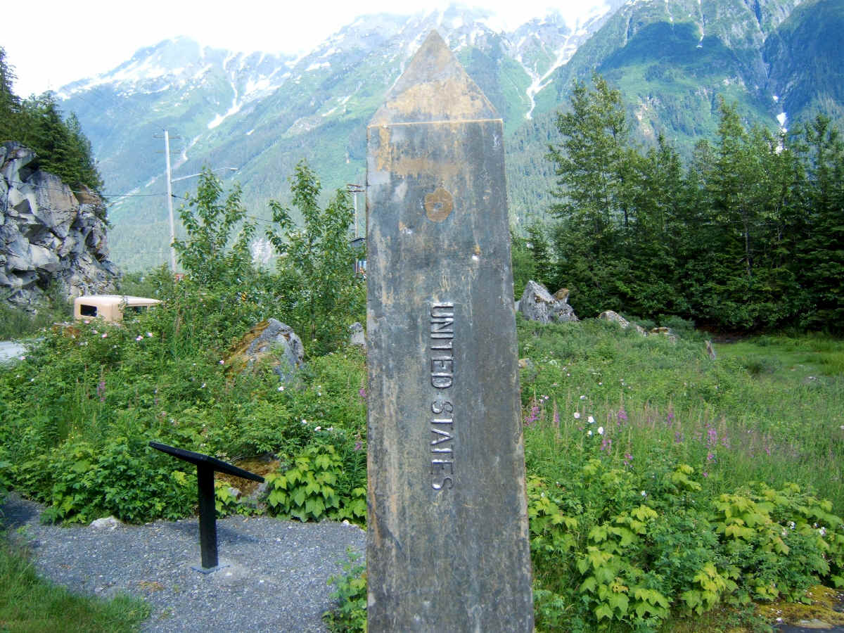
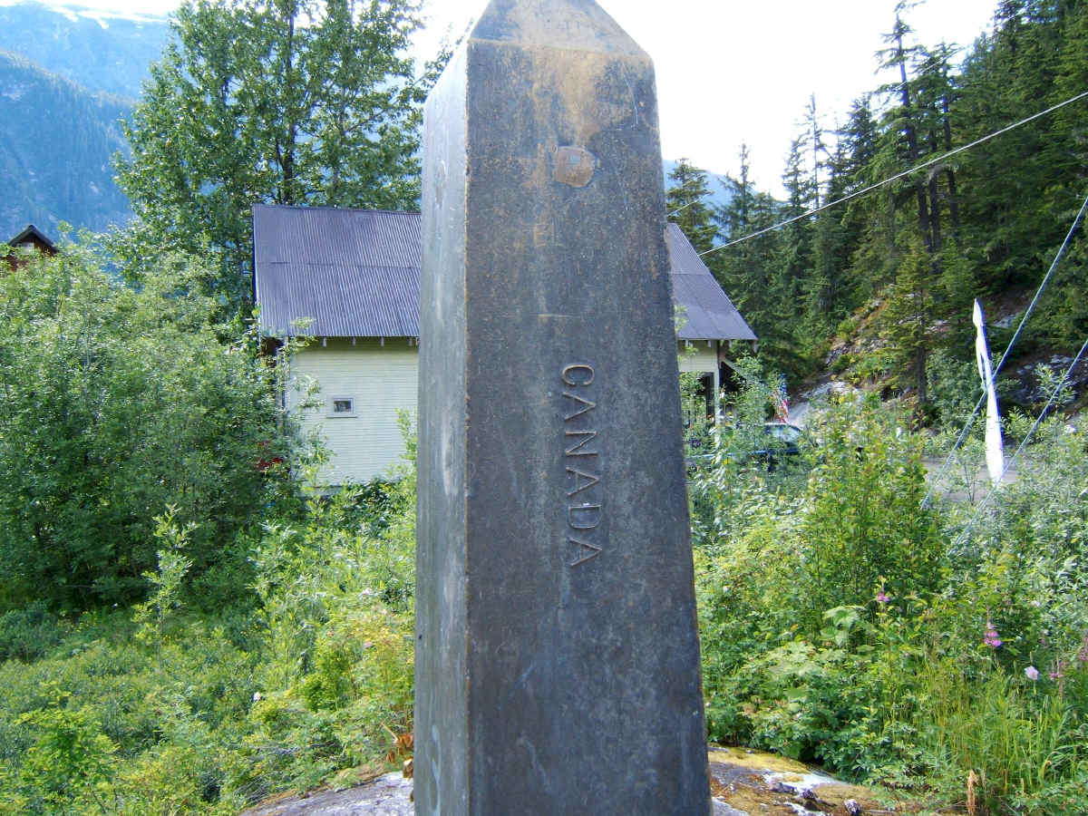
Wednesday June 28, we drove 241 miles from Hyder, Alaska N55 54.655 W130 01.265 to Dease Lake, British Columbia, N58 26.206 W129 59.469 On the way out of Hyder we stopped at the actual border to look at the monuments. There is no fence here on this border. Which is the way it should be between neighbors, no fence. This side of the post is the U.S.
And on this side is Canada. We continued on north, arriving at Dease Lake in a rain storm. There was a good Hotel there where we stayed for the night.
Day 13
Thursday June 29, we drove 398 miles from Dease Lake, British Columbia N58 26.206 W129 59.469 to Whitehorse, Yukon N60 43.196 W135 03.571 When we arrived in Whitehorse, Yukon we stopped at the visitors center and looked at the information on lodging. Everything was over one hundred dollars. So we choose this B&B, at least that way we get a free breakfast. One reason we stayed here, was the write-up said it was once owned by Sam McGee, a real person who's name became famous as a fictional character in the writings of Robert Service. The Madam Proprietor said her husband worked at the Follies and we could be his guest at the ten o'clock show. We saw the show at the little theater, and enjoyed it.
Day 14
Friday June 30, we drove 246 miles from Whitehorse, N60 43.196 W135 03.571 to White River Campground, N61 59.078 W140 32.209
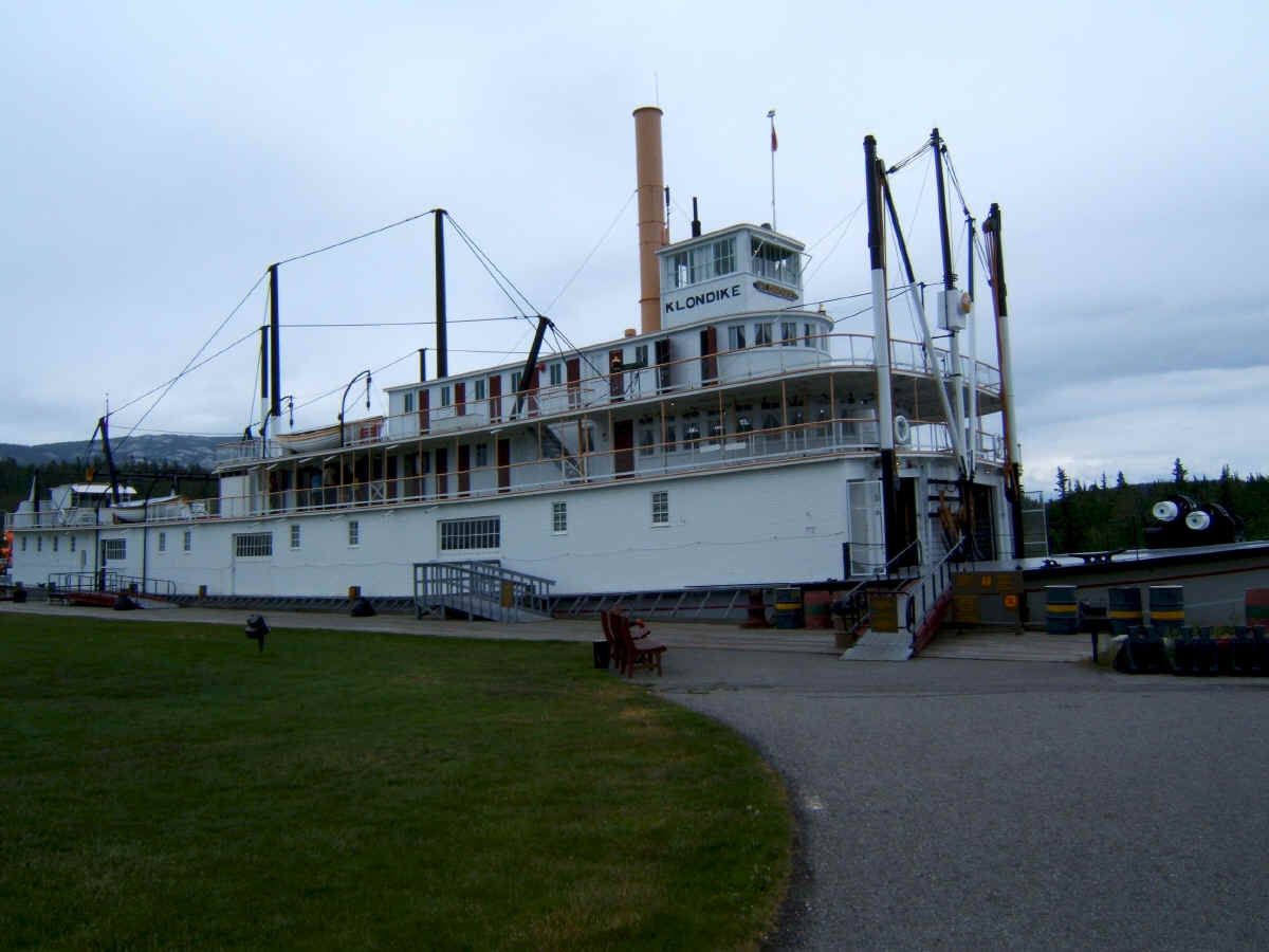
The S.S. Klondike was an interesting site. I walked through it back in 1975, but it was not restored as it is today.
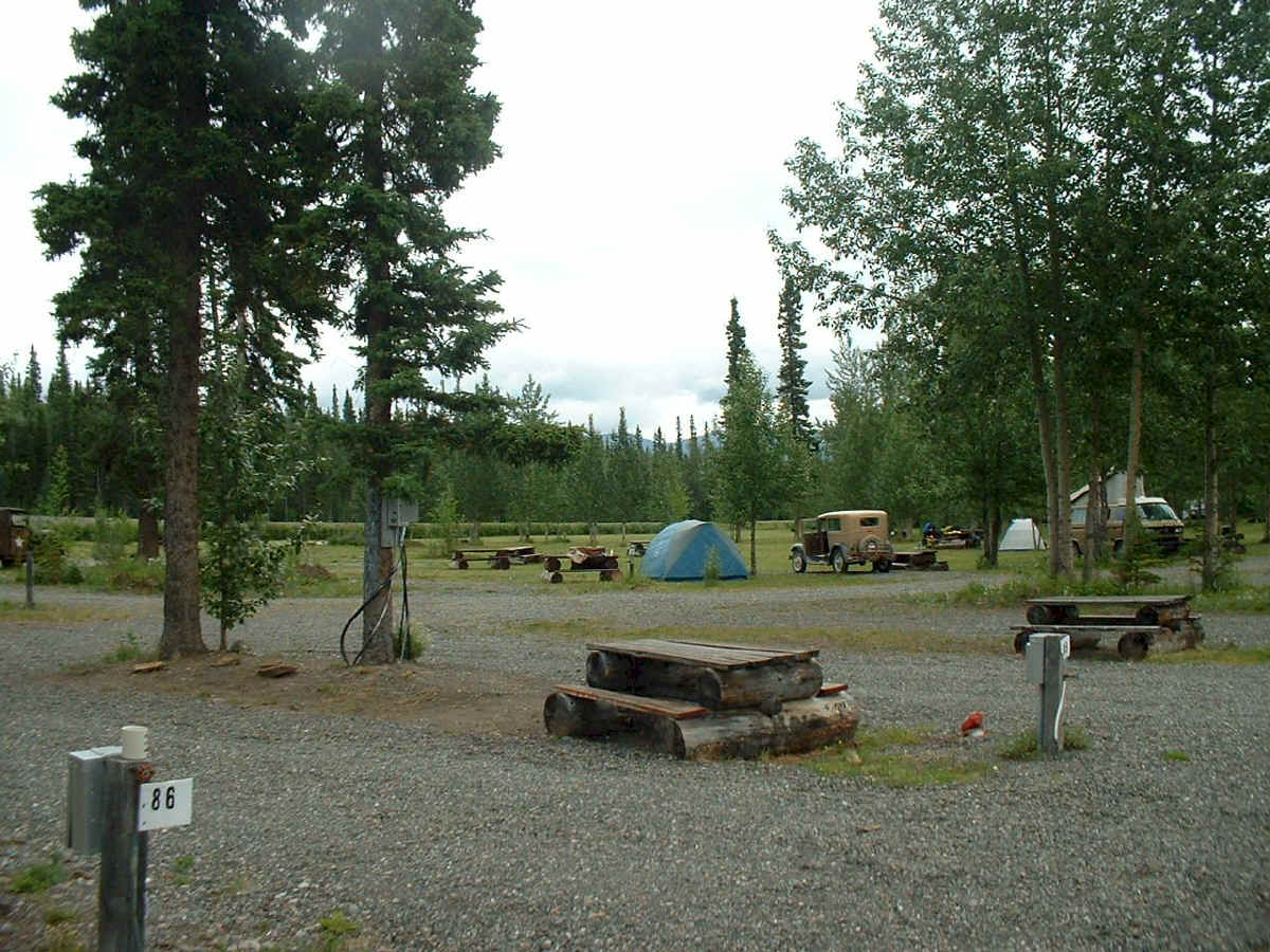
We made it as far as the White River Campground. This is as far as we were going this day. The campground does not have a store or restaurant. We went to bed without eating and slept in the tent again tonight. The proprietor Bob, said there were bears in the area, but they could be spooked, just yell at them and they will leave.... OK!! An unusual noise was coming from the transmission area for the last couple of days. I removed the transmission cover and everything looked ok. I reinstalled everything and drove on. The noise occurred only occasionally.
Day 15
Saturday July 1, we drove 259 miles from White River, Yukon N61 59.078 W140 32.209 to Big Delta, Alaska N64 07.534 W145 42.122
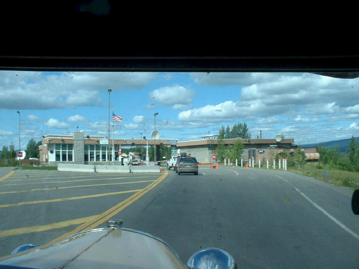
Here we are at the U.S. Border, and not much of a wait, only two cars ahead of us.
This sign was at the border in 1975. I did not recall seeing it this time.
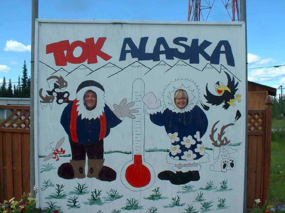
Tok has some of the coldest recorded winter weather in Alaska. Summer is warm and sunny.
This Moose was just east of Delta Junction.
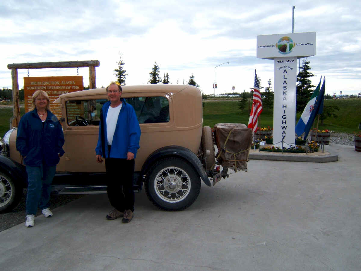
We stopped at the Monument at the end of the Alcan Highway in Delta Junction. We did not drive the complete length of the Alcan highway on the way north, because we joined it in Watson Lake when we turned off of Highway 37. The Alcan highway starts in Dawson Creek a little farther east.
We received this certificate at the visitors center at the end of the Alaska Highway in Delta Junction. The girl at the visitors center found us a B&B in Big Delta. It was in a nice setting on a farm.
|