|
slowdriving.us Trip 2004 A much longer version with more pictures is also available here. Jacksonville N30 08.439 W81 35.5593 to Columbia N33 58.904 W81 06.1283 Day sixteen Monday May 3, we drove 424 miles.
We stopped in Kingsland for gas and then continued on to Savannah. As we were looking for a parking place in the downtown area, the rain abruptly stopped. We got out of the car to walk around. The trees were still dripping water, the temperature was warm. It was a beautiful sight.
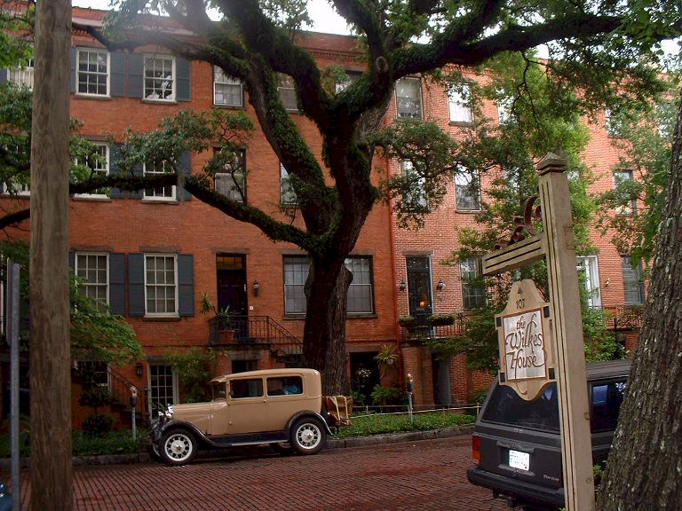
Brenda's brother and family live in Savannah. He was telling us about a restaurant that was good to go to. Neither Patty or I could remember the name. But we thought it was Mrs. Wilkes.
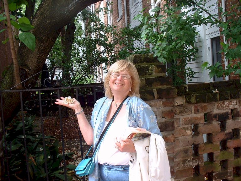
We drove down several streets looking for the restaurant, but only saw old houses. We decided to stop and park the car and continue on foot. As Patty walked across the street, she yelled back to me, here it is, The Wilkes House. They are only open for a few hours for breakfast and again for lunch. We were just in time for an early lunch. When we walked in, I told the waitress, we needed a table for two. She smiled and said take a seat at that table over there. The table was huge, it sat ten, or more. Patty and I sat down and were asked what we wanted to drink, but were not given any menu. Soon a woman came in and sat down next to me, then another couple came in and sat down at our table, then another. Soon the table was full. As we were all talking to each other the food started to arrive, big platters of food, dishes of potatoes, green beans, beef, corn, pinto beans, greens and more. The dishes were passed around and we all filled our plates. WOW, I did not expect this, but it sure was good.
We said goodbye to Savannah, and headed on north up the coast to Charleston. We drove on I-95 until we came to Highway 17 which is a two lane road into Charleston. Just outside Charleston we came across a group of bicyclists. They were ridding their bicycles from San Diego to Charleston on old Highway 80. US 80 was an original 1926 route, at the time its east end was in Savannah GA. In 1932 the designation was extended about 10 miles further east, to its current terminus: a little seaside community then known as Savannah Beach, but now more commonly referred to as Tybee Island. Old car people need to know, we have it easy, try going coast to coast on a bicycle.
1700's Homeland security. As we were ready to leave Charleston a man who owned a bed and breakfast around the corner, begged us to come park the car in front of his place and stay the night. We thanked him but refused as we needed to travel on. Leaving Charleston the road was full of trucks hauling containers of imported goods from the port. The sky is darkening and rain in on it's way. Soon we were in Columbia where we stayed for the night. Today we drove in three different states.
Columbia N33 58.904 W81 06.1283 to Pigeon Forge N35 47.61 W83 33.7228 Day seventeen Tuesday May 4, we drove 275 miles
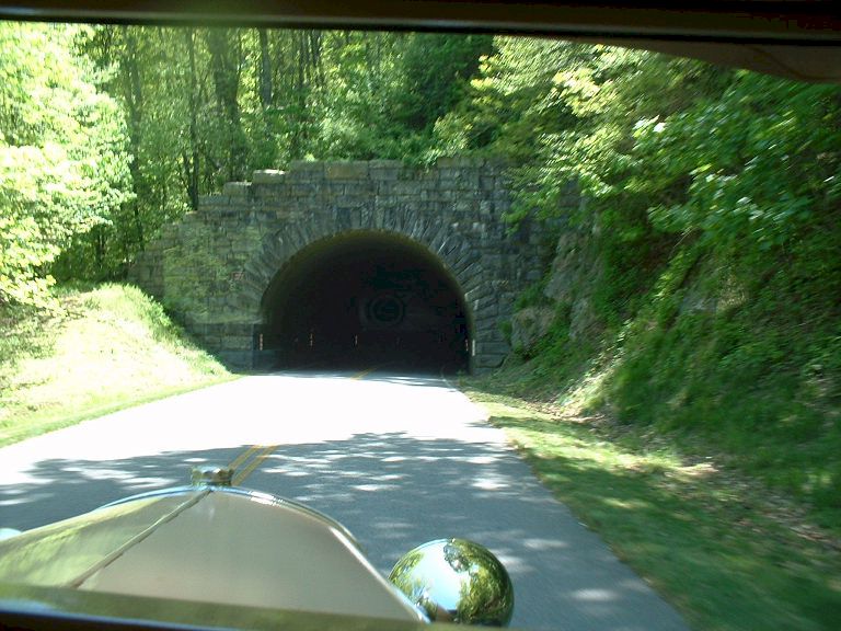
We are near the state line with North Carolina. We stopped in Ashville for gas. Here we turned south off of the interstate to drive through the Smokey Mountains. We followed highway 19 down to 441 and into the mountains. Next stop will be somewhere in Tennessee.
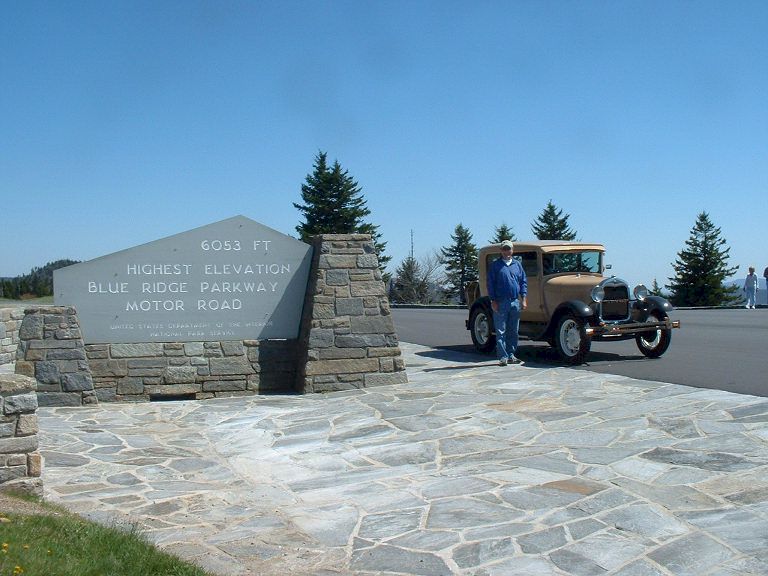
The sign says, this is the highest point on the Blue Ridge Parkway, 6053 feet above sea level.
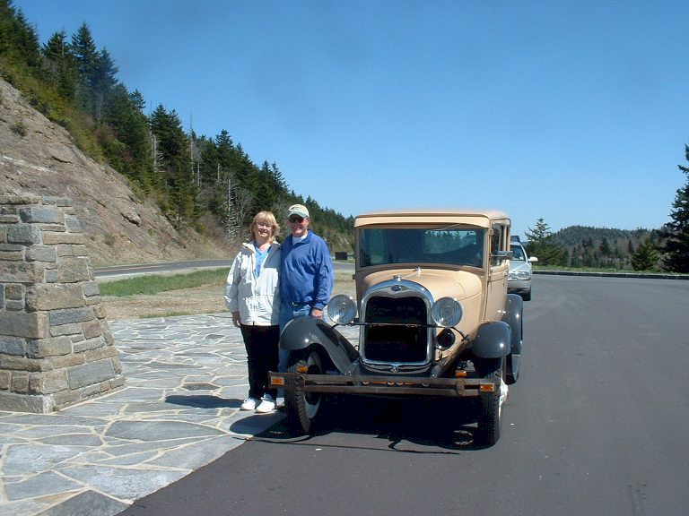
Just as we were walking back to the car someone ran over offering to take a picture with both Patty and I in it. They were so nice we could not refuse.
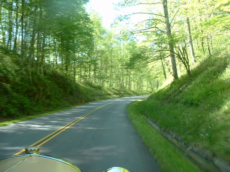
The sun shinning through the trees made a pretty picture.
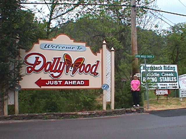
After we descended the mountain we came upon Pigeon Forge, home to Dolly Wood. We decided not to go into Dolly Wood as we were both tired and hungry. There must be a thousand motel rooms here. It was early in the season and we did not have any trouble getting one. We found a nice place to eat a short distance from our motel, and walked over to it. The building was, or is a grist mill. Pigeon Forge River runs by it. As we often do, neither of us had a camera when we went to the restaurant.
Pigeon Forge N35 47.61 W83 33.7228 to Nashville N36 09.7946 W86 47.0231 Day eighteen Wednesday May 5, we drove 238 miles.
Driving on the interstate does not give one
much chance of taking interesting pictures. No pictures were taken from Pigeon
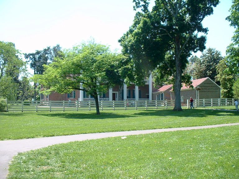
Forge all the way to Hermitage, Tennessee. The following was taken from the Andrew Jackson web site: Hermitage, the estate of Andrew Jackson near Nashville, Tenn., bought by Jackson in 1795. He moved to it in 1804, selling all but 6,000 acres of the original 28,000-acre tract. The log cabin that served as Jackson's home was replaced by a brick house in 1819; when this burned in 1834, the present Hermitage building, in a Greek Revival style, was erected on the old site. After Jackson's death the Hermitage was occupied by Andrew Jackson Jr., until 1888, although it had been bought by the State of Tennessee in 1856 to be preserved as a shrine.
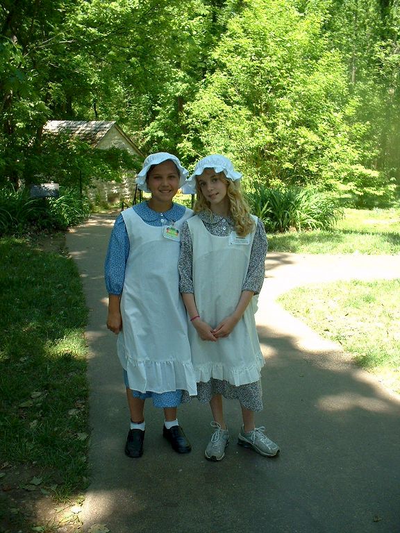
School girls playing the part of children from Jackson's time.
After leaving Hermitage we went into Nashville and got a room at the Best Western downtown, within walking distance of dining and entertainment. The entertainment was on Broadway and Printers Alley. The bars and music were all in a row side by side. You could go into one club and get a drink, get up and walk to the next one still carrying your cup, everything was served in plastic cups.. It was almost midnight, by the time we got back to the room.
|